Relative topics
14 results for "flooding"
Groundwater level forecasting
BGS delivers probabilistic forecasts of groundwater levels across the UK’s principal aquifers to provide a range of services that build national resilience to groundwater extremes.
BGS to deliver three-year groundwater flood forecasting service to support emergency response to flooding
BGS is delivering a national-scale early warning system for groundwater flooding, alongside the Environment Agency and the Met Office.
Building with nature and geology to protect against flooding
Discover how BGS is working alongside partners to investigate the effectiveness of natural flood management initiatives and mitigate the threat of flooding.
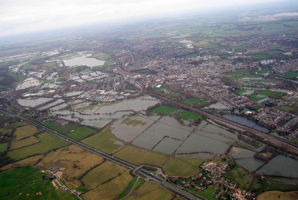
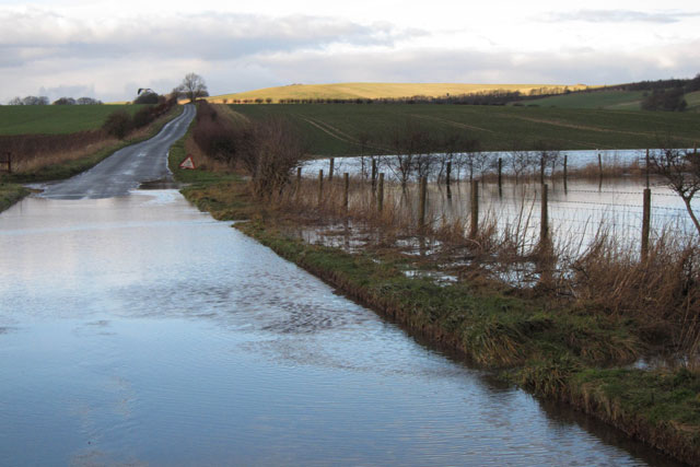
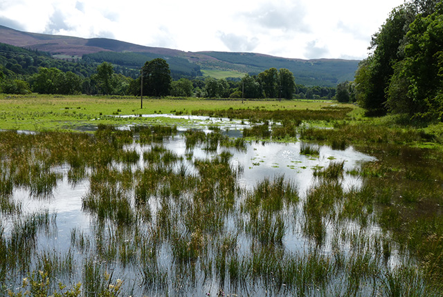
Groundwater flooding
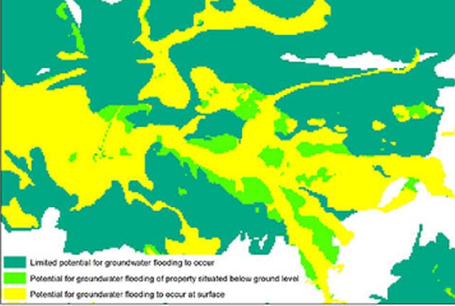
In response to the need for more information on groundwater flooding, BGS has produced the first national dataset on the susceptibility across Britain.
Groundwater flood warnings and alerts

Geological indicators of flooding
BGS has produced the geological indicators of flooding dataset from geological maps detailing the floodplains and coastal plains in Britain.