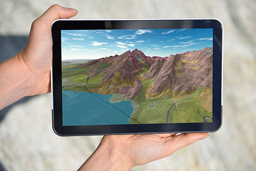
The BGS embraced EU and UK initiatives to increase access to public sector spatial information via its knowledge exchange work.
What is INSPIRE?
INSPIRE was a European Union (EU) directive that aimed to enhance the sharing of environmental spatial information among public sector organisations and better facilitate public access to environmental information across Europe. The directive created a European spatial data infrastructure (SDI) that enables spatial information to be discovered, viewed and downloaded in order to assist in policymaking across boundaries.
The spatial information considered under the directive includes a great variety of themes, one of which is geology.


Presentation by Matthew Harrison, British Geological Survey facilitator of the INSPIRE natural risk zones data group, on 14 June 2012 at the EUREGEO conference, Bologna, Italy.
UK Location and INSPIRE
UK Location was a UK pan-government initiative to improve the sharing and re-use of public sector location information. It implemented INSPIRE in the UK and extended it through the UK’s own Location Strategy. UK Location was coordinated by the UK Location Council and delivered by the UK Location Programme.
BGS involvement
INSPIRE and UK Location depend on standardised delivery mechanisms to ensure the integration of spatial information from different contributors.
Data providers needed to structure their data according to agreed specifications and deliver it via common protocols. The development of this infrastructure and enabling standards was a huge community effort, in which we played a major role.
Some of our staff, past and present, performed the following roles:
- John Laxton acted as editor of the Geology and Mineral Resources data specifications and was joined on this working group by Andrew Hughes specialising in hydrogeology issues. This data specification draws heavily on GeoSciML, a geology exchange language developed by the BGS with worldwide partners.
- Matt Harrison was chair of the Natural Risk Zones data specification working group.
- Tim Duffy is a member of the UK Location Programme (UKLP) Metadata Working Group, the UKLP Architecture Interoperability Board and the EU INSPIRE Initial Operating Capability Task Force Services Team.
BGS collaborations
We have been working for several years with the Scottish Government doing co-funded research on how to set up a Scottish SDI to implement the One Scotland — One Geography initiative. We are also helping the Mining Remediation Authority make data freely and openly accessible to the public in accordance with INSPIRE.
BGS outputs
INSPIRE and UK Location were developed in stages until 2019. We provided the following services for data holdings that were in the scope of INSPIRE:
- Discovery Metadata services
- WMS view services
- Download services as WFS
These services are registered with the UK Location Programme for upward inclusion in the INSPIRE GeoPortal. Having played a vital role in the testing of the UK Location Programme infrastructure, we were one of the first organisations to achieve this goal.
What will INSPIRE and UK Location achieve?
The purpose of INSPIRE and UK Location is to support environmental policy and overcome major barriers still affecting the availability and accessibility of relevant data.
These barriers included:
- inconsistencies in spatial data collection, where spatial data was often missing or incomplete or, alternatively, the same data was collected twice by different organisations
- lack of or incomplete documentation of available spatial data
- lack of compatibility among spatial datasets that could not, therefore, be combined with others
- incompatible SDI initiatives within EU member states that often functioned only in isolation
- cultural, institutional, financial, and legal barriers that prevented or delayed the sharing of existing spatial data
The key elements of INSPIRE and UK Location to overcome the above barriers include:
- metadata to describe existing information resources so data can be more easily found and accessed
- harmonisation of key spatial data themes needed to support environmental policies in the EU
- agreements on network services and technologies to allow discovery, viewing and downloading of information resources and access to related services
- policy agreements on sharing and access, including licencing and charging
- coordination and monitoring mechanisms
Delivering INSPIRE and UK Location
Find us on data.gov.uk.
You may also be interested in

Technologies
Applications, software and online services created by the BGS and our collaborators.


