Key information
Scale:
1:50 000Coverage:
Great BritainAvailability:
LicensedFormat:
GIS polygon data (ESRI, MapInfo, others available by request)Price:
£0.06 per km2. Subject to number of users, licence fee and data preparation fee.
Uses:
Local-level useGet data
Free access
Our free data is avaiable under the Open Government Licence. Please acknowledge reproduced BGS materials.
Sample mapsSupporting documents
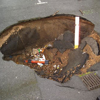
If the material below a building collapses, it may cause the building foundations to rapidly subside. If the ground collapses unevenly, the resulting damage may be more severe than that caused by a uniform collapse.
A property affected by collapse of even a few millimetres may experience the following kinds of problems:
- structural damage to foundations and to the fabric of the building
- damage to underground service connections, such as water, gas or electricity
- cracks in the walls, floors or ceilings of a building
- tilting of walls or entire buildings
- cracks at the junction of a building and associated structures
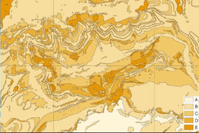
The potential for collapsible ground to be a hazard has been assessed using 1:50 000-scale digital maps of superficial deposits. These have been combined with information from scientific and engineering reports. The detailed digital data illustrated in the map is available as attributed vector polygons, as raster grids and in spreadsheet format.
You may also be interested in

BGS GeoSure
The BGS GeoSure datasets identify areas of potential hazard and, therefore, potential natural ground movement, in Great Britain.

Collapsible deposits: property hazard information
If the material below a building collapses, it may cause the building foundations to rapidly subside. Get specialist advice from a suitably qualified expert.


