

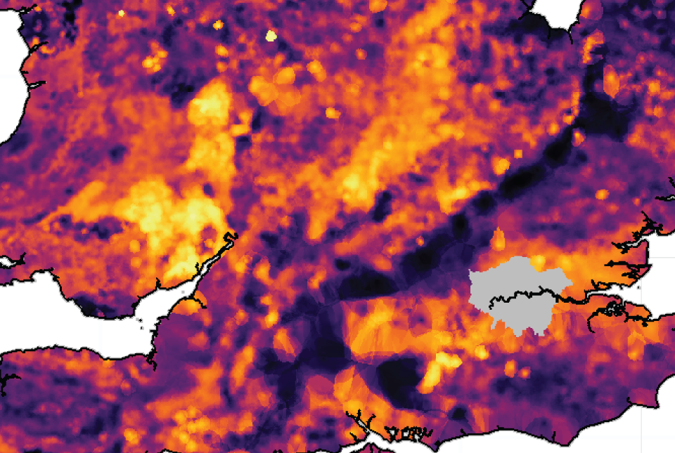

UK stream sediment geochemistry – Chromium
UK: Stream sediment geochemistry
- Great Britain and Northern Ireland
- Open / Premium
The BGS Geochemical Baseline Survey of the Environment (G-BASE) and the Geological Survey of Northern Ireland’s TellusNI projects set out to map and establish the geochemical baseline of the UK surface environment by collecting stream sediment, stream water and soil samples.
Supporting documents
Key information
- Coverage:
- Great Britain and Northern Ireland
- Availability:
- Open / Premium
- Price:
Gridded data free for commercial, research and public use under the Open Government Licence.
Underpinning survey point data available under licence on request.
- Format:
- Ascii grid data (500m cell size). Printable maps in png format. Database tables for survey points.
- Uses:
- Local-level to Regional-level use
- Themes:
- Environmental change, Geochemistry, Geoscience information, Hazards, Mining and minerals, Soils and landscapes
- Sector:
- Agriculture, Ecosystems, Education, Environmental protection, Health, Monitoring and surveying, Natural resources
The BGS Geochemical Baseline Survey of the Environment (G-BASE) and the Geological Survey of Northern Ireland’s TellusNI projects set out to map and establish the geochemical baseline of the UK surface environment by collecting stream sediment, stream water and soil samples.
The baseline stream sediment maps for the UK present data compiled from the G-BASE and TellusNI geochemical projects. The maps are based on analyses of the <150 μm size fraction of up to 110 794 sediment samples collected from first- and second-order (i.e. small) streams across the UK, which have been analysed for up to 52 major and trace elements (e.g. calcium, magnesium, cobalt, nickel etc). An atlas of the element stream sediment concentrations for the UK is available to download. Similarly, a guide to the stream sediment dataset of Northern Ireland is available online for viewing as an ebook download.
For the rest of the UK, more detailed information on the G-BASE stream sediment dataset, including a series of regional geochemical atlases, is also available to download.
UK stream sediment geochemical data information
The underpinning stream sediment sample data from the G-BASE project is available under licence; please contact BGS Enquiries. An example extract of this data is available to download. Search the geochemistry section of the BGS Onshore GeoIndex to view the availability of G-BASE stream sediment, stream water and soil data in Great Britain.
The equivalent data from the TellusNI geochemical survey is available from the GSNI’s Tellus website.
Map downloads
The data for 18 elements presented in the UK stream sediment atlas, which can be downloaded as a set of PNG interpolated concentration maps (37.4 MB) and as Ascii raster files on a 500 m grid across the UK.
Stream sediment grids and maps available for download
| Element | Units | Ascii grid (incl. standard deviation) | PNG (classified and inferno colour schemes) |
|---|---|---|---|
| Arsenic (As) | mg/kg | As_grid.zip | As_png.zip |
| Barium (Ba) | mg/kg | Ba_grid.zip | Ba_png.zip |
| Calcium (CaO) | weight % | CaO_grid.zip | CaO_png.zip |
| Chromium (Cr) | mg/kg | Cr_grid.zip | Cr_png.zip |
| Cobalt (Co) | mg/kg | Co_grid.zip | Co_png.zip |
| Copper (Cu) | mg/kg | Cu_grid.zip | Cu_png.zip |
| Iron (Fe2O3) | weight % | Fe2O3_grid.zip | Fe2O3_png.zip |
| Lanthanum (La) | mg/kg | La_grid.zip | La_png.zip |
| Lead (Pb) | mg/kg | Pb_grid.zip | Pb_png.zip |
| Magnesium (MgO) | weight % | MgO_grid.zip | MgO_png.zip |
| Manganese (MnO) | weight % | MnO_grid.zip | MnO_png.zip |
| Nickel (Ni) | mg/kg | Ni_grid.zip | Ni_png.zip |
| Potassium (K2O) | weight % | K2O_grid.zip | K2O_png.zip |
| Rubidium (Rb) | mg/kg | Rb_grid.zip | Rb_png.zip |
| Uranium (U) | mg/kg | U_grid.zip | U_png.zip |
| Vanadium (V) | mg/kg | V_grid.zip | V_png.zip |
| Zinc (Zn) | mg/kg | Zn_grid.zip | Zn_png.zip |
| Zirconium (Zr) | mg/kg | Zr_grid.zip | Zr_png.zip |
Download BGS sample data
You may also be interested in

London Earth
London Earth is the systematic, high-density, geochemical soil dataset of the Greater London Area (GLA) aiming to give insight into the environmental impacts of urbanisation and industrialisation on the UK’s most populous city.
Soil chemistry for environmental assessments
This dataset contains estimated ambient background concentrations of potentially harmful elements for rural and selected urban topsoils.
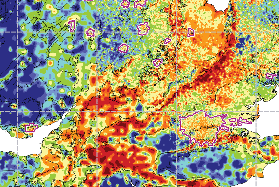
UK: topsoil geochemistry
The UK Compiled Topsoil Dataset (UKTS), is the most extensive topsoil geochemistry dataset for the UK.