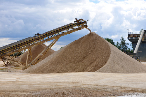

Shorncote sand and gravel quarry.
BritPits
- Great Britain, Northern Ireland, Isle of Man and Channel Islands
- Open / Premium
The BGS BritPits (an abbreviation of British Pits) dataset provides information on surface and underground mineral workings in Great Britain, Northern Ireland, the Isle of Man and the Channel Islands.
Key information
- Coverage:
- Great Britain, Northern Ireland, Isle of Man and Channel Islands
- Availability:
- Open / Premium
- Price:
Full dataset: £56.78 per region (15 regions in total). Subject to number of users, licence fee and data preparation fee.
Active, Inactive and Dormant data: £170.34 for complete GB coverage only. Subject to number of users, licence fee and data preparation fee.
Index data: This is a free dataset available as a WMS layer, or via the onshore GeoIndex on our website
- Format:
- GIS point data/Database tables
- Uses:
- Site-level to Local-level use
- Themes:
- Built environment, Mining and minerals
Each record holds information on the following:
- names of mines, quarries, oil wells, gas wells, ash and desulphogypsum plants
- geographic location
- address
- operator
- mineral planning authorities
- geology
- mineral commodities produced
- operational status
The data will be of interest to bodies in both the public and private sector to identify the location of mineral extraction sites and their possible after-use. For statistical and other uses, details of major mineral handling sites, such as wharfs and rail depots, are also held in the database. Details are available for the sites of both currently active and closed mineral workings.
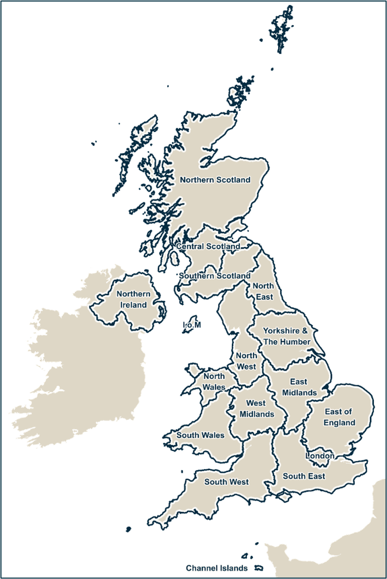
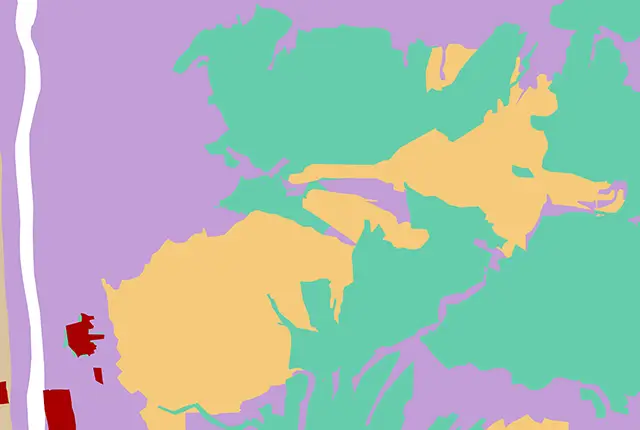
BritPits regions. BGS © UKRI – Contains OS data © Crown copyright 2025.
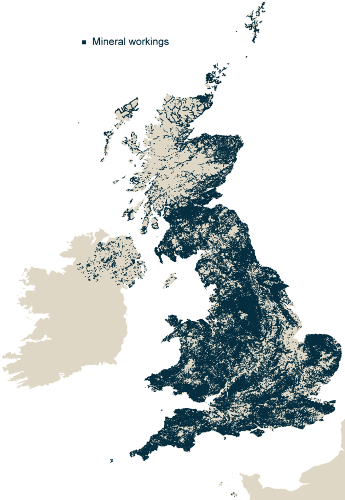
BritPit locations. BGS © UKRI – Contains OS data © Crown copyright and database right 2025
We are engaged in surveying the country for former mineral sites due to their importance for planning purposes and as potential sources of currently scarce resources such as building stone, in addition to hazard checking.
The database provides a valuable tool for monitoring not only resource depletion, but also the extent that mineral sites have been restored to beneficial aftercare.
Versions
There are three different versions of BritPits available:
- Full dataset
Includes all entries in the BritPits database including historic sites. Contains over 260 000 total entries.
The data is split into 17 regions (see map) but, for licencing purposes, it is supplied as 15 regions: the Isle of Man is supplied with Northern Ireland and the Channel Islands are supplied with south-west England.
Data is supplied as a CSV and/or a GIS point layer.
- Active, inactive and dormant data
Includes only the active, inactive and dormant mines/quarries. Contains approximately 5200+ entries.
The dataset licensed as complete GB coverage.
The data is supplied as an CSV file and/or a GIS point layer.
- Index data
Detailing the name and status of the mineral working. This is a free dataset available as a WMS layer or via the onshore GeoIndex.
You may also be interested in

Mineral resources
This dataset contains the geological distribution of all onshore mineral resources.
Mining hazard (not including coal) coverage
The mining hazard dataset provides essential information for planners and developers building in areas of former shallow underground mine workings.