

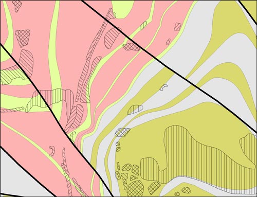

BGS Geology 10K sample
BGS Geology 10-25K
- 1:10 000 – 1:25 000
- Partial Great Britain coverage
- Premium
Our most detailed dataset is provided at 1:10,000 scale. This digital dataset is based on BGS’s highest resolution survey mapping and contains a small proportion of 1:25 000 scale data in some upland areas. BGS Geology 10k-25K has incomplete coverage but does include many urban centres and transport routes in Great Britain.

Key information
- Scale:
- 1:10 000 – 1:25 000
- Coverage:
- Partial Great Britain coverage
- Availability:
- Premium
- Price:
£1.71 per km2. Subject to number of users, licence fee and data preparation fee.
- Format:
- GIS line and polygon data (Shapefile, others available by request)
- Uses:
- Site-level use
- Themes:
- Geology, Geoscience information
- Sector:
- Monitoring and surveying, Natural resources
Detailed digital geological map data based on BGS’s National Grid and County series 1:10 000 and 1:10 560 scale (six-inch to one-mile) and 1:25 000 maps.
Many BGS geological maps are now available digitally. The Digital Geological Map of Great Britain project (formerly known as DiGMapGB) has prepared 1:625 000, 1:250 000, 1:50 000 and 1:10 000-scale datasets for England, Wales and Scotland. Work continues to upgrade these and to extend the coverage of the most-detailed 1:10 000-scale dataset.
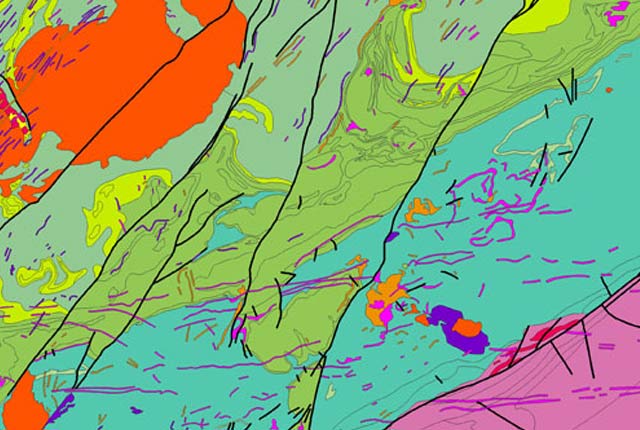
BGS Geology 10K sample. BGS © UKRI.
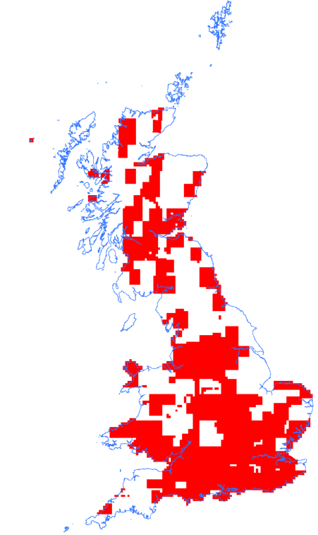
Copyright statement: BGS Geology 10K and 25K coverage. BGS © UKRI – Contains OS data © Crown copyright 2023
Many existing ‘paper-only’ maps have been digitised, and the nomenclature, particularly of older maps, updated to current usage.
Themes
The geological areas (or polygons) are labelled or attributed with a name based on their lithostratographical, chronostratographical or lithodemic nomenclature and their composition (rock type or lithology). This information is arranged in (up to) four themes as available:
Faults and other linear features are available in a separate theme.
Geology maps are the foundation for many other types of earth science-related maps and are of potential use to a wide range of customers.
Further information and resources
BGS Geology Resources
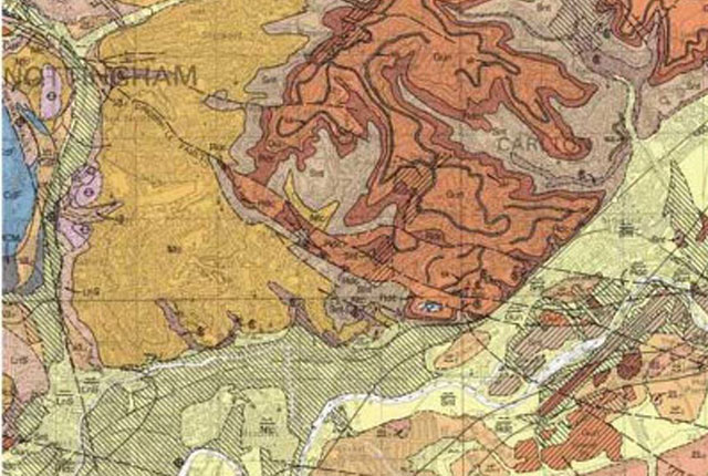
BGS Geology
The BGS Geology datasets are digital geological maps of Great Britain based on the different series of published BGS geological maps.
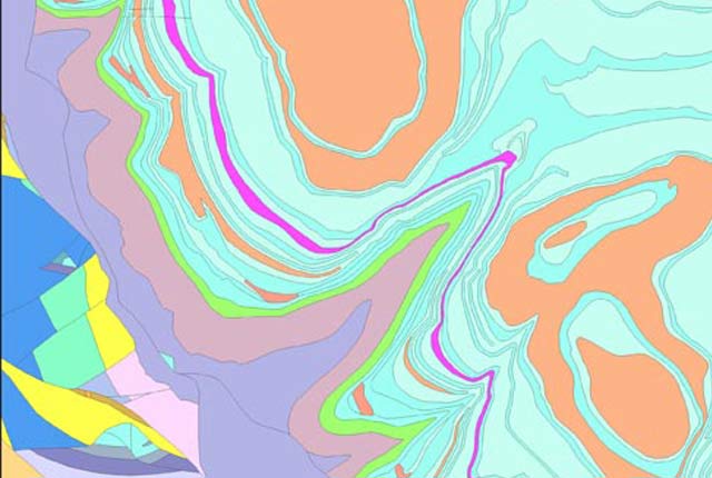
BGS Geology 50K
This generalised digital geological data is based on BGS’s 1:50 000 and 1:63 360-scale maps. Covering almost all of Great Britain, it provides a detailed local to regional description of geology and underpins many of our national map services and products. Lithostratigraphic nomenclature is updated to current usage.
BGS Geology 250K
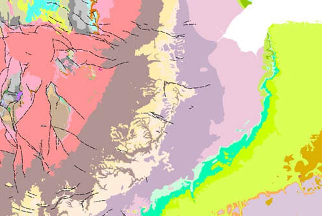
This generalised digital geological data is based on our 1:250 000-scale, bedrock-only maps. Data and lithostratigraphic re-classifications are derived from maps published between 1977 and 1993.
BGS Geology 625K
This generalised digital geological dataset is based on our published ‘poster’ maps of the UK (north and south). This dataset covers all of Great Britain and includes additional map data from Northern Ireland. It provides an excellent national overview of the UK’s geology and is commonly used as a teaching resource.