
BGS GeoSure shrink–swell 3D for London sample. BGS © UKRI.
BGS GeoSure shrink–swell 3D for London and Thames Valley
- 1:50 000
- London and Thames Valley
- Premium
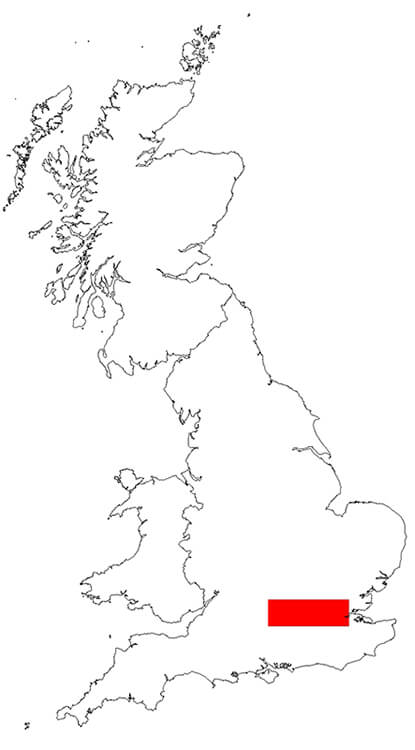
The shrink–swell 3D data is a regional hazard-susceptibility map that identifies areas of potential shrink–swell hazard in 3D at intervals down to 20 m in the London and Thames Valley area. The data is classified on an A–E range of hazard susceptibility.
Supporting documents:
Key information
- Scale:
- 1:50 000
- Coverage:
- London and Thames Valley
- Availability:
- Premium
- Price:
On application; subject to number of users, licence fee and data preparation fee.
- Format:
- GIS vector grid (ESRI, other formats available on request)
- Uses:
- Local-level use
- Themes:
- Hazards
The shrink–swell 3D data is a regional hazard-susceptibility map that identifies areas of potential shrink–swell hazard in 3D at intervals down to 20 m in the London and Thames Valley area. The data is classified on an A–E range of hazard susceptibility.
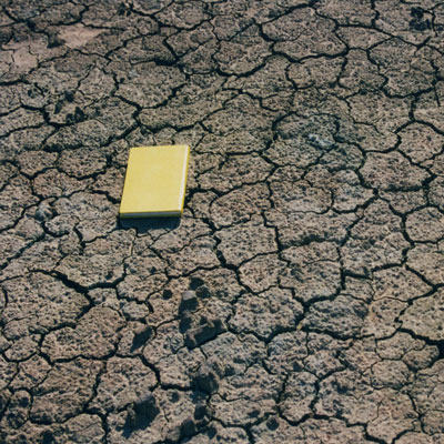
Swelling clays can change volume due to variation in moisture, which can cause ground movement that may affect many foundations. Ground moisture variations may be related to a number of factors, including weather variations, vegetation effects (particularly growth or removal of trees) and the activities of people that might cause changes to the ground conditions. Such changes can affect building foundations, pipes or services.
These hazards may also affect anyone involved in the construction of large structures (deep foundations; basements), infrastructure networks (road or rail) or utility companies. The 3D properties of these materials can be used to identify potential problems at surface, in the shallow subsurface or deeper underground (e.g. tunnels).
The data has been produced by geologists, geotechnical specialists and information developers at the BGS and are derived from the London geological model.
BGS GeoSure: shrink–swell 3D for London is part of the BGS GeoSure range of natural subsidence products.
BGS GeoSure Shrink-Swell 3D for London and Thames Valley BGS © UKRI.
You may also be interested in

BGS GeoSure: shrink–swell
Many soils contain clay minerals that absorb water when wet (making them swell), and lose water as they dry (making them shrink). Many of us see this in our gardens when the ground becomes cracked during the summer, yet becomes ‘heavy’ in the winter.

BGS GeoSure
The BGS GeoSure datasets identify areas of potential hazard and, therefore, potential natural ground movement, in Great Britain.