GeoClimate UKCP18 Premium
BGS Datasets
Key information
Scale:
Quasi-1:50 000Coverage:
Great BritainAvailability:
LicensedFormat:
GIS polygon data (ESRI, others available by request)Price:
Price: £1.10 per km2
Capped at a maximum of £33 075
Subject to number of users, licence fee and data preparation fee
Get data
Free access
Our free data is available under the Open Government Licence. Please acknowledge reproduced BGS materials.
Downloads
Paid access
Supporting documents
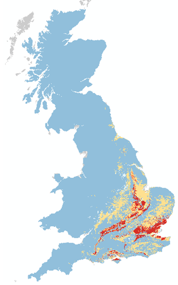
The BGS GeoClimate: shrink–swell national datasets show potential change in subsidence due to changes in climate. They have been developed by combining long-term UK Climate Projection (UKCP) scenarios for rainfall and temperature changes with the geotechnical properties of the ground, to identify areas projected to experience the largest increases in susceptibility to subsidence over the next century.
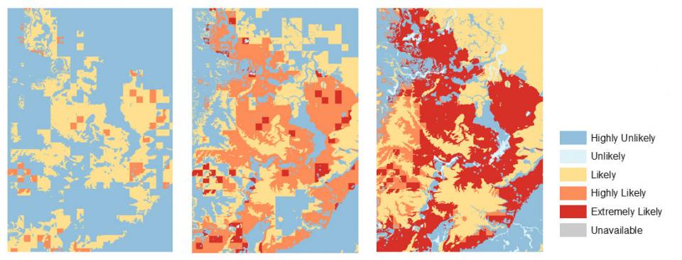
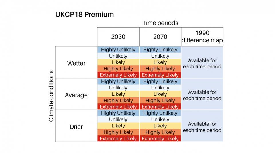
GeoClimate UKCP18 Premium is a quasi-1:50 000-scale product (due to the variable scales of input datasets), provided as area polygons, for two projected 11-year windows, centered on 2030 and 2070. It is based on the UK Climate Projections 2018 (UKCP18) high emissions scenario and provides projections for average, wetter and drier climate conditions. For each scenario it describes five categories of projected susceptibility, from highly unlikely to extremely likely.


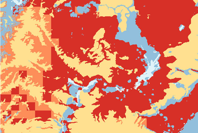
The BGS GeoClimate: shrink–swell national datasets show potential change in subsidence due to changes in climate. BGS © UKRI.
- More about the full suite of GeoClimate shrink-swell products
Additional dataset information
| Features | GeoClimate UKCP18 Premium |
|---|---|
| Temporal projections (11-year windows) | 2030 (2025–2035), 2070 (2065–2075) |
| Historical time period (11-year window) | 1990 (1985–1995) |
| UKCP18 emissions scenario | Higher emissions (8.5) |
| Climate models | 12 representative concentration pathways |
| GeoClimate categories | Five |
| Climate data scale | Daily 2.2 km grid |
| Statistical outputs | Nine in total: medium, drier and wetter for each scenario projection |
| Format | ESRI vector polygon data |
| Difference maps | Six: three for each time slice |
Relative topics
Download BGS sample data
You may also be interested in
GeoClimate UKCP18 Open
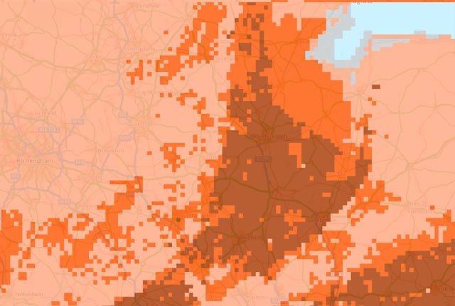
Based on higher emissions scenario, provides the most susceptible value for the time periods 2030s and 2070s within the grid cell.
GeoClimate UKCP09 and UKCP18
BGS has developed a suite of products, including maps and data, which show potential change in subsidence due to UKCP climate change scenarios


