Relative topics
9 results for "shrink-swell"
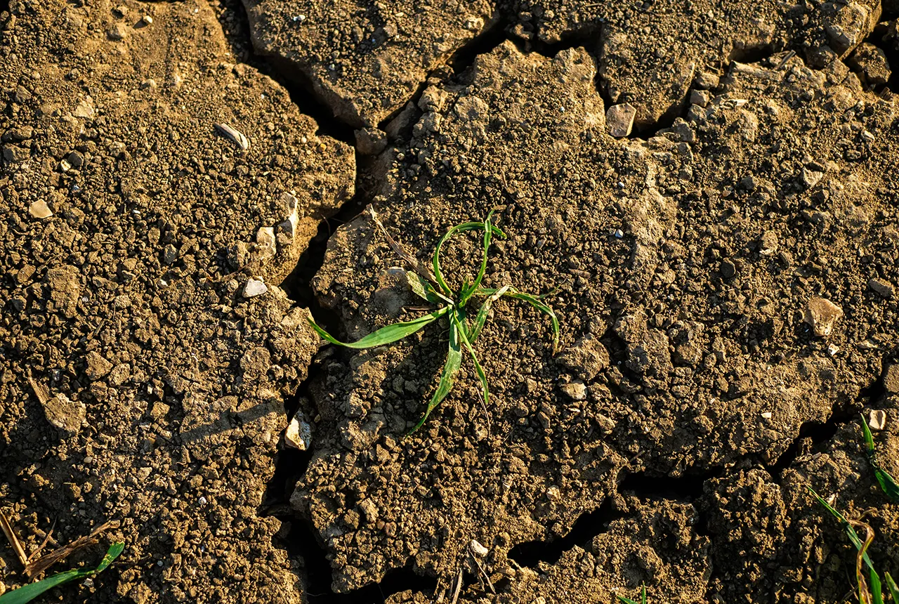
What is the impact of drought on temperate soils?
A new BGS review pulls together key information on the impact of drought on temperate soils and the further research needed to fully understand it.
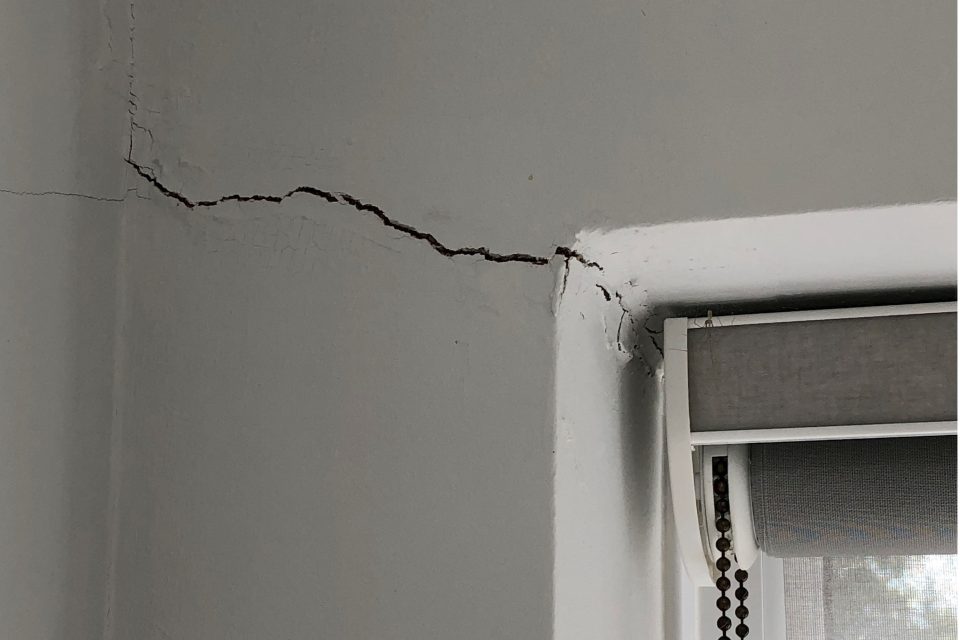
Six BGS datasets for assessing shrink–swell subsidence hazards
Shrink–swell subsidence is one of the most significant geological hazards affecting the UK. BGS has six datasets to help assess the problem.
Property subsidence assessment: helping to mitigate shrink–swell hazard risk
The BGS Property Subsidence Assessment dataset provides insurers and homeowners with tools to better understand shrink–swell and the risk it poses to homes and businesses.
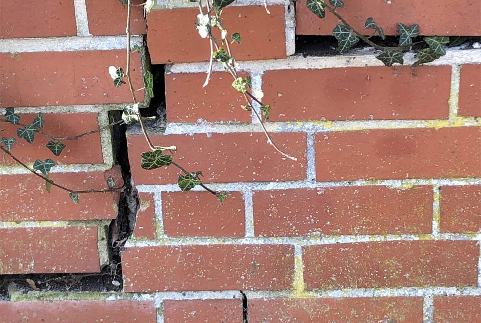
Six ways to prepare your home for climate change related subsidence
Subsidence caused by shrinking and swelling of the ground can lead to financial loss. How can you mitigate against it?
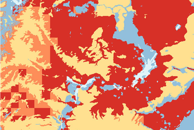
GeoClimate UKCP09 and UKCP18
BGS has developed a suite of products, including maps and data, which show potential change in subsidence due to UKCP climate change scenarios
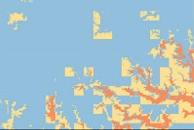
GeoClimate UKCP09 Premium
Based on medium emissions scenario, provides five levels of susceptibility for average, wetter and drier climate conditions for the time-period envelopes of 2020, 2030, 2040, 2050 and 2080 at the 1:50 000 area polygons scale.

GeoClimate UKCP18 Premium
Based on higher emissions scenario, provides five levels of susceptibility for average, wetter and drier climate conditions for the time periods 2030s and 2070s at the 1:50 000 area polygons scale.
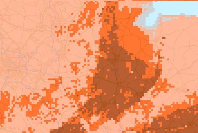
GeoClimate UKCP18 Open
Based on higher emissions scenario, provides the most susceptible value for the time periods 2030s and 2070s within the grid cell.

