

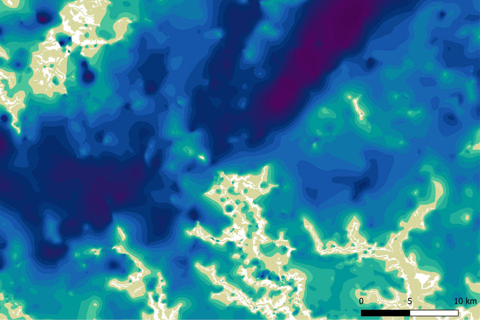

Map extract of the BGS SDTM Observation driven Model (ODM) showing modelled superficial deposit thickness. BGS © UKRI.
Superficial deposit thickness model
- 1:100 000
- Great Britain
- Open / Premium
The Superficial Deposit Thickness Model (SDTM) presents the modelled regional variation in thickness of superficial and unconsolidated deposits across Great Britain. These deposits include fluvial sediments, glacial drift, marine sands, peat, and anthropogenic materials. The dataset integrates borehole records, 1:50,000 geological mapping, and terrain elevation data to model both the thickness of superficial deposits and the elevation of geological rockhead (the top of bedrock). It is designed for use at 1:100,000 scale with an average vertical precision of ±5 m.
Supporting documents
Key information
- Scale:
- 1:100 000
- Coverage:
- Great Britain
- Availability:
- Open / Premium
- Price:
£0.18 per km2. Subject to number of users, licence fee and data preparation fee.
- Format:
- GIS polygon data (Open), GIS raster TIFF (Premium)
- Uses:
- Local- to regional-level use
- Themes:
- Geology, Geoscience information
- Sector:
- 3D modelling, Construction and planning
The Superficial Deposit Thickness Model (SDTM) dataset presents the modelled regional variation in thickness of superficial and unconsolidated deposits across Great Britain. These include sediments of fluvial, glacial, marine or anthropogenic origin that were generally formed during the Quaternary geological period (the past 2.6 million years). The thickness of these deposits represents the depth down to the top of bedrock, known as geological rockhead. The distribution of these deposits is not uniform: sometimes they are developed in thin veneers, sometimes they form large irregular masses and sometimes they infill entire valleys.
The transition between superficial sediments and geological rockhead and associated bedrock units is an important zone for geologists, civil engineers, hydrogeologists and environmental scientists because it is where most physical and chemical properties of the deposits significantly change. Strength, lithology, conductivity, porosity, and permeability are most strongly affected by this transition, so an understanding of the depth of this transition zone beneath the ground surface is vital.
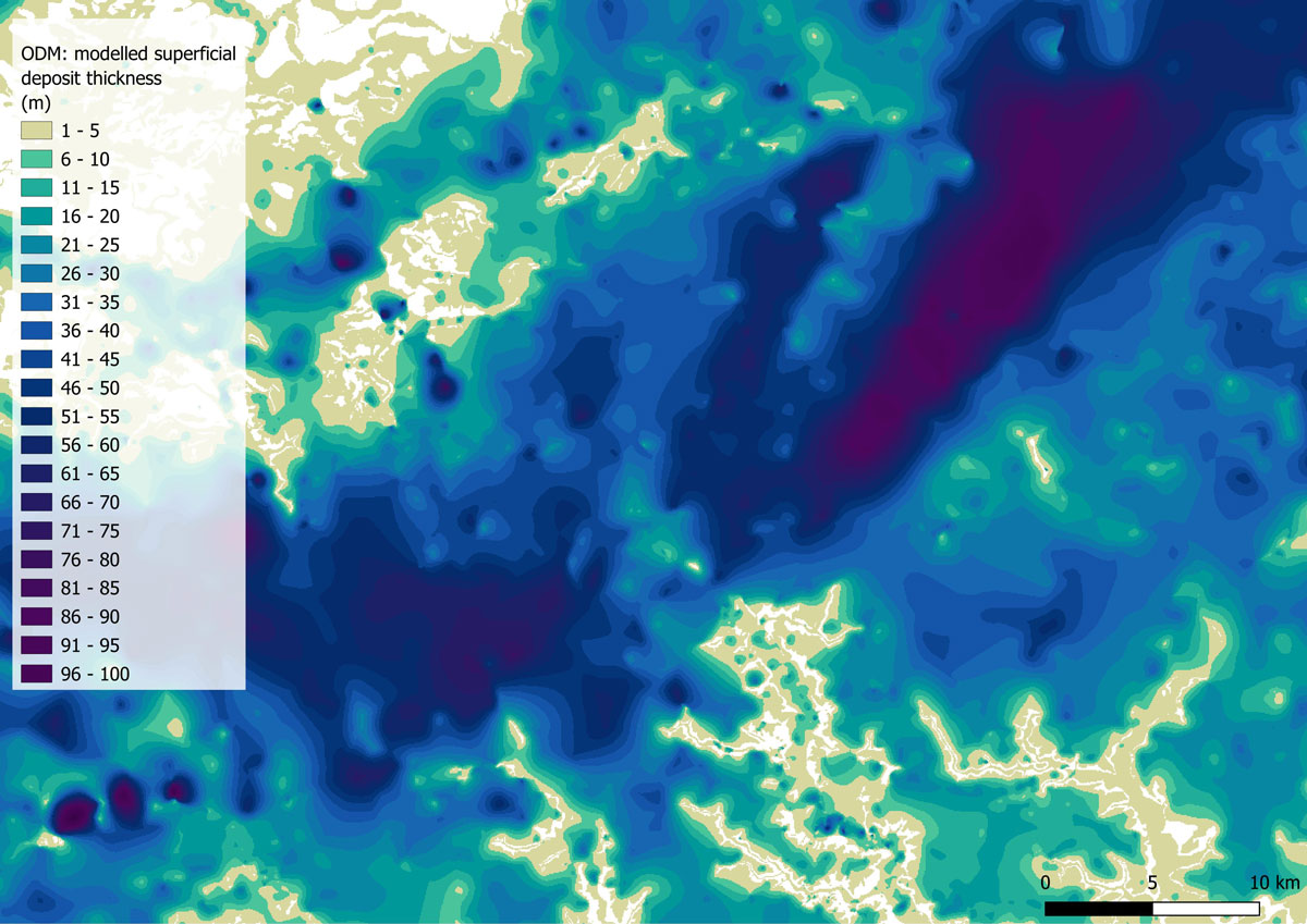
Map extract of the BGS SDTM Observation driven Model (ODM) showing modelled superficial deposit thickness.
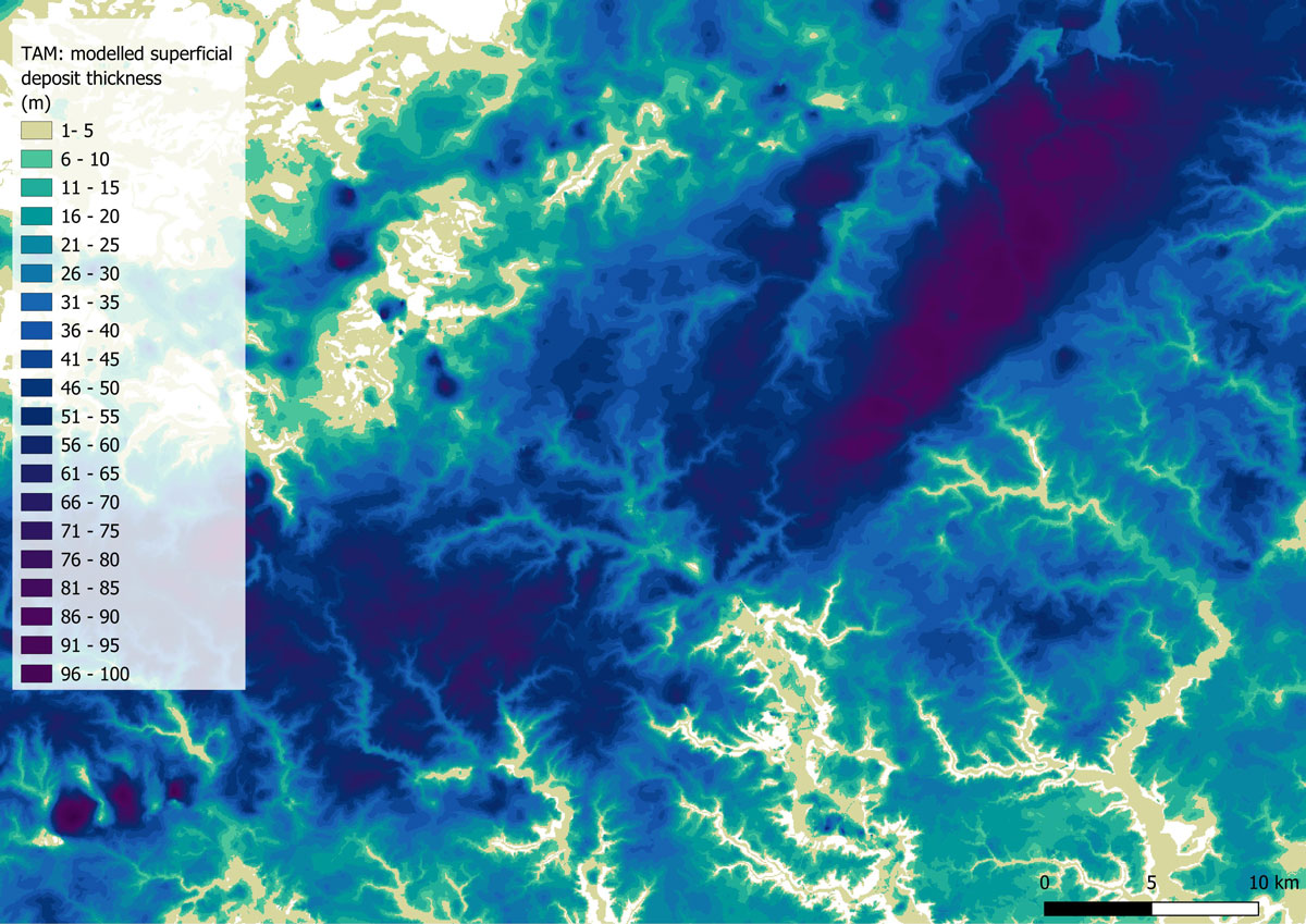
Map extract of the BGS SDTM Terrain Adjusted Model (TAM) showing modelled superficial deposit thickness.
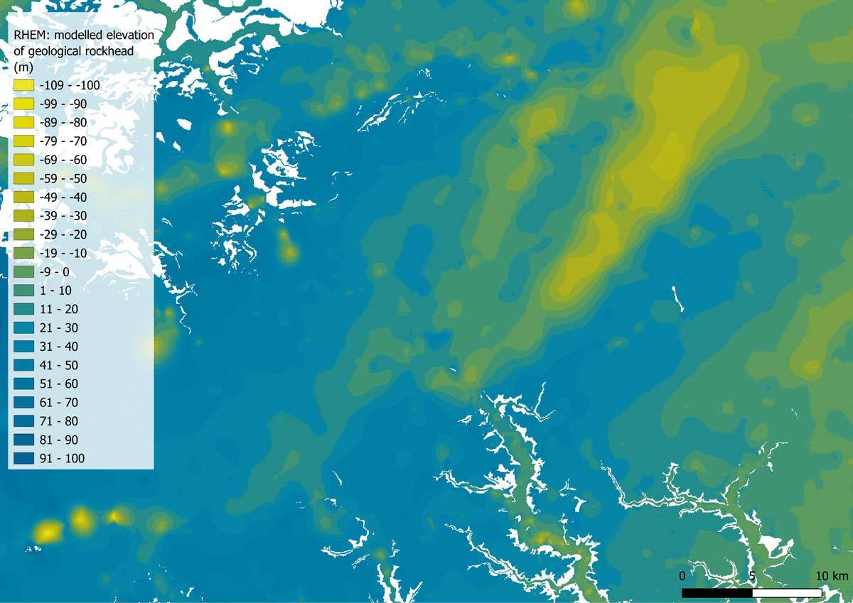
Map extract of the BGS SDTM Rockhead Elevation Model (RHEM) showing modelled rockhead elevation.
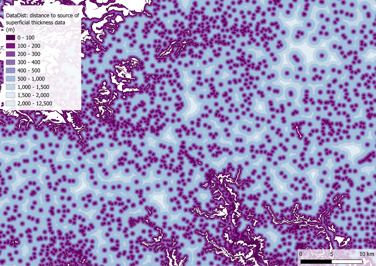
Map extract of the BGS SDTM Data Distance (DataDist) layer showing distance to the nearest source of superficial thickness information, for use as a proxy for SDTM uncertainty.
The SDTM models are created using digital mathematical interpolation techniques, combining information from borehole logs held in our archives with mapped superficial and artificial geology extents from the 1:50 000-scale digital geological map of Britain: BGS Geology 50K.
The SDTM product consists of the following components:
- The Observation Driven Model (ODM): a raster model of sediment thickness which interpolates thickness values between boreholes within the mapped superficial extents.
- The Terrain Adjusted Model (TAM): a raster model of sediment thickness derived using a method which combines borehole records, the mapped superficial deposit extents as well as surface elevation data. This differs from the ODM by considering the ground surface elevation, derived from the OS Terrain® 50
- The Rockhead Elevation Model (RHEM): a raster model of the elevation of rockhead (the transition between superficial sediments and bedrock material) relative to Ordnance Datum. This differs from ODM and TAM which both provide information on the depth of superficial deposits as a thickness, rather than an elevation.
- The Data Distance (DataDist): a raster surface defining the distance of any location relative to the nearest source of thickness information; either the location of a borehole, or the mapped boundary of a superficial deposit. This is provided as a pseudo-uncertainty surface relative to the ODM, TAM and RHEM components of the SDTM. The further a location is from a source of thickness data, the more uncertain any values provided by ODM, TAM and RHEM models are likely to be.
A more detailed overview can be found in the accompanying User guide.
The intended scale of use of this dataset is 1:100,000 with an average vertical modelled precision of +/-5m elevation. The dataset is intended for use at national, regional and local scales but not site scales where specific ground investigation works should be undertaken to determine superficial thickness and / or rockhead elevation.
BGS is continuing to do scientific research in to how to improve the prediction of superficial thickness and will build that into any future update of the SDTM model.
SDTM Open
SDTM Open is a generalised version of the Premium ODM dataset and will be freely available under the BGS Non-commercial licence . This dataset is for users who are seeking summary information about the average and maximum depths of superficial deposits across Great Britain, i.e. a summary assessment of depth to geological rockhead.
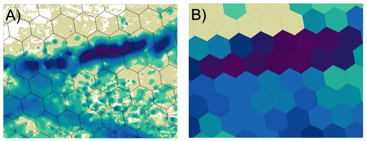
A) shows the SDTM Observation Driven Model overlain with the SDTM Open hexagonal grid. B) shows the SDTM Open ODM_MAX demonstrating how the generalisation of the ODM model in the SDTM Open dataset significantly reduces the spatial precision of the model making it unsuitable for anything other than assessing the national or regional trends in superficial thickness.
SDTM Open summarises superficial thickness information via spatial statistics on the basis of a regular hexagon grid distributed across Great Britain. The hexagon grid utilises the H3 Resolution 7 standard global grid system which provides a hierarchical geospatial indexing system that partitions the globe into hexagonal cells. Summary statistics provided include:
- the maximum and mean superficial thickness values per cell
- the percentage of the cell for which superficial thickness has been modelled
- the number of boreholes per cell that modelled superficial thickness is derived from
- the H3 identifier per hexagonal cell which can be used to join the data to other H3 hexagonal grid datasets
A more detailed overview will be provided in the accompanying user guide.
Download BGS Superficial Deposits sample data
You may also be interested in
BGS Civils: bulking volume
BGS Civils is a suite of national maps of engineering properties based on geological data and the digital 1:50 000 scale geological map – BGS Geology 50k.
BGS Civils: corrosivity (ferrous)
The BGS corrosivity dataset is a GIS layer supporting the management of underground iron assets that has been created in response to the growing awareness of the cost of maintenance of structures such as pipelines and building foundations.
BGS Civils: discontinuities
This theme provides information on the discontinuities in bedrock and superficial deposits as part of a suite of GIS layers for different engineering parameters.
BGS Civils: engineered fill
This theme provides information on the suitability of a geological material to be used as engineered fill.
BGS Civils: excavatability
This theme provides information on the excavatability of geological deposits at surface.
BGS Civils: foundation conditions
This theme provides information on the suitability of a geological material for foundations as part of a suite of GIS layers for different engineering parameters.
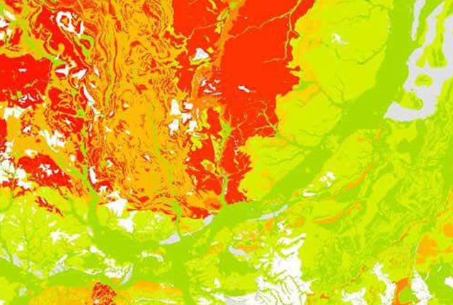
BGS Civils: strength
This theme provides information on zones of rock strength and the local factors controlling it, as part of a suite of GIS layers for different engineering parameters.
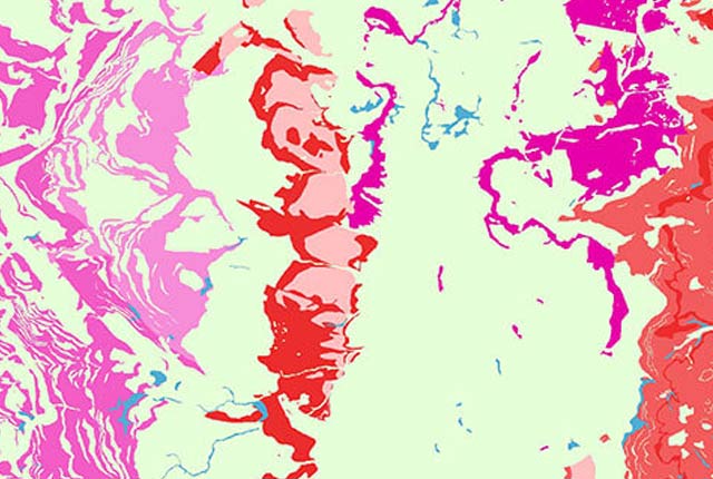
BGS Civils: sulfate/sulfide potential
The BGS Civils: sulfates and sulfides dataset is a GIS layer that supports the management of underground assets
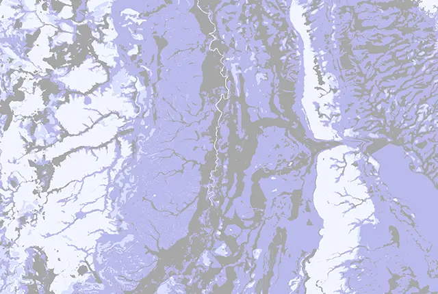
Infiltration SuDS map
The BGS Infiltration SuDS map dataset is suitable for those involved in the design of sustainable drainage systems and approving SuDS planning applications.
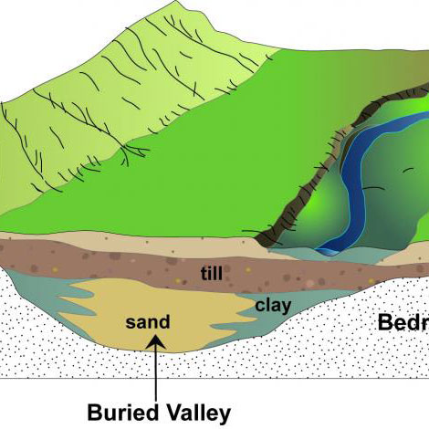
Buried valleys
Buried valleys are ancient river or subglacial (beneath a glacier) drainage networks that are now abandoned and have become either partly or completely buried by more recent sediment.

Permeability
Permeability data is often used in studies of groundwater. Our permeability information is based on BGS Geology 50K data.
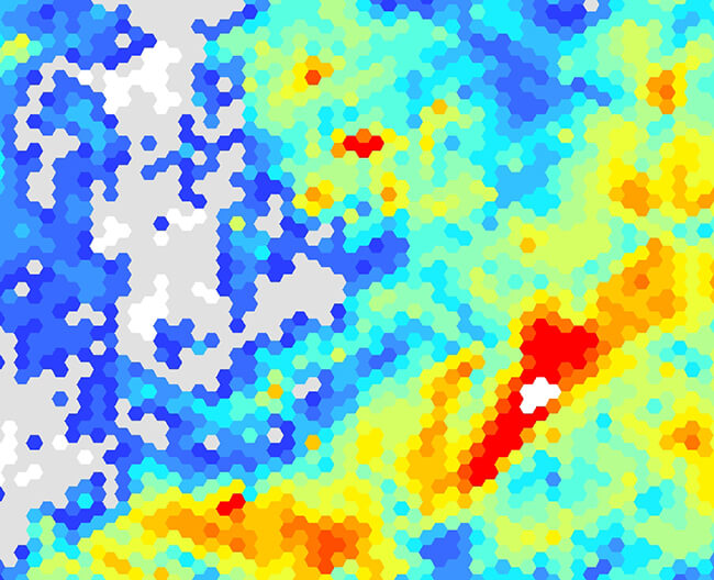
Superficial deposit thickness 1 km hex grid
The BGS superficial thickness hex grid map shows the variation of the thickness of superficial deposits across Great Britain.