

Datasets

These are our most popular and influential datasets. For a comprehensive list of all BGS data, please visit the BGS Metadata Catalogue
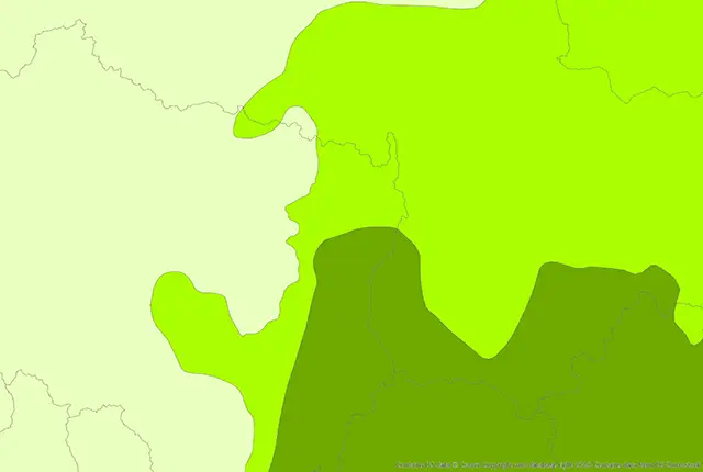
The BGS GeoScour Open datasets provide a generalised overview of the natural characteristics and properties of catchment and riverine environments for the assessment of river scour in Great Britain.
- Open
-
Tier 1: 1:625 000
Tier 2: 1:250 000 - Great Britain
 Data Preview
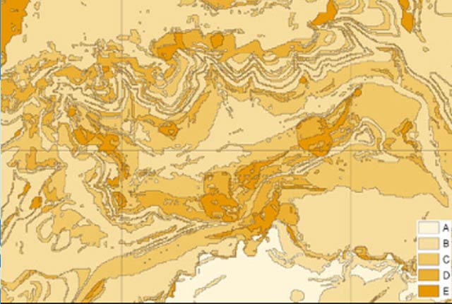
The BGS GeoSure datasets identify areas of potential hazard and, therefore, potential natural ground movement, in Great Britain.
- Premium
- 1:50 000
- Great Britain
Data Preview
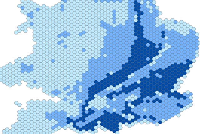
The BGS GeoSure 5 km hex grid datasets provide a generalised overview of the susceptibility to six naturally occurring geohazards in Great Britain.
- Open
- 5 km hex grid (approx. 1:5 000 000)
- Great Britain
 Data Preview
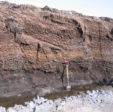
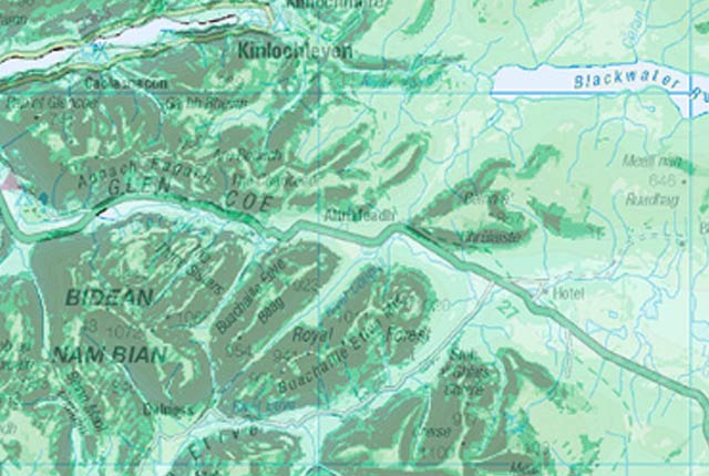
The potential for compressible ground to be a hazard has been assessed using 1:50 000-scale digital maps of superficial and bedrock deposits.
- Premium
- 1:50 000
- Great Britain
Data Preview
 Data Preview
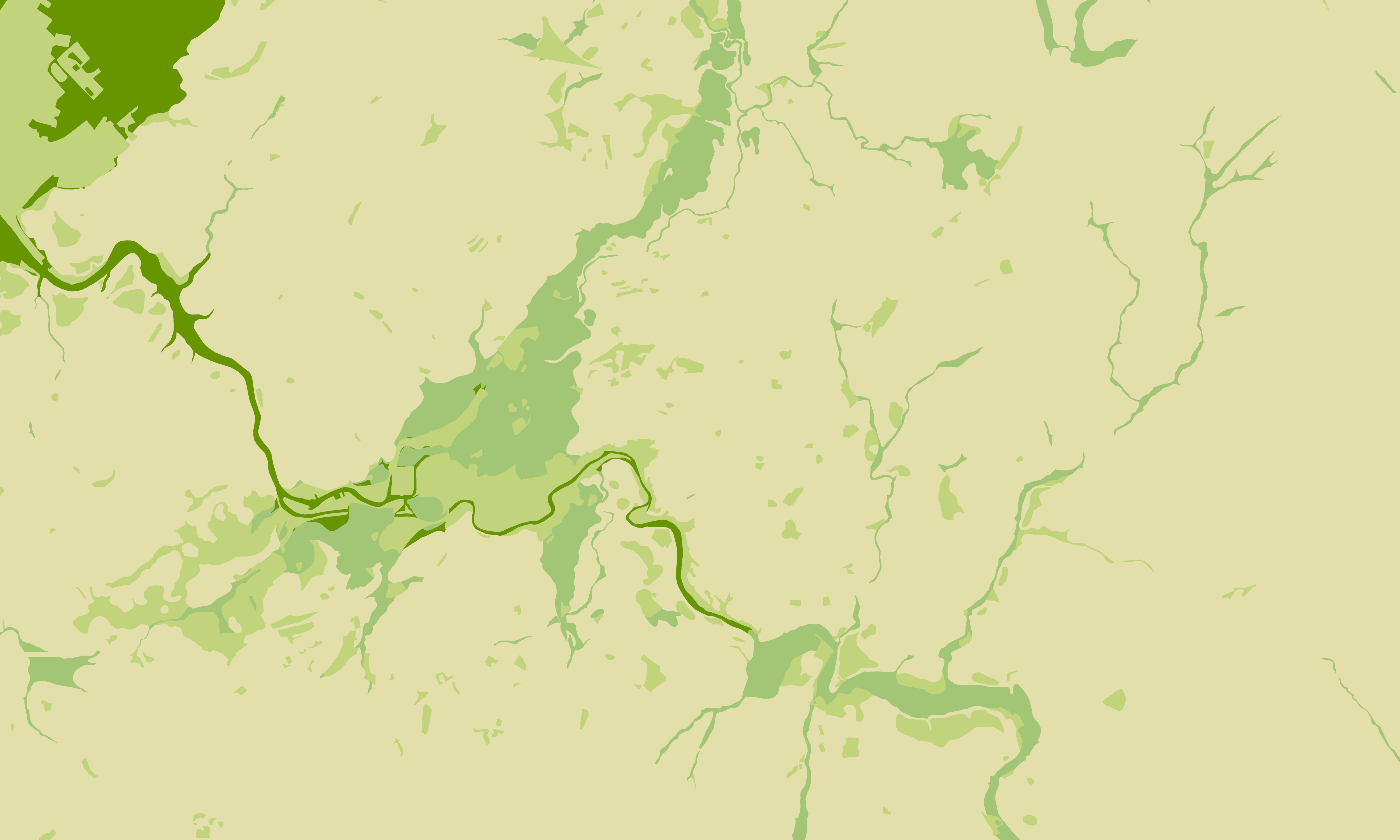
The Debris Flow landslide layer provides information on the potential of the ground, at a given location, to form a debris flow. It is based on a combination of digital geological, hydrogeological and topographic data.
- Premium
- 1:50 000
- Great Britain
Data Preview
 Data Preview
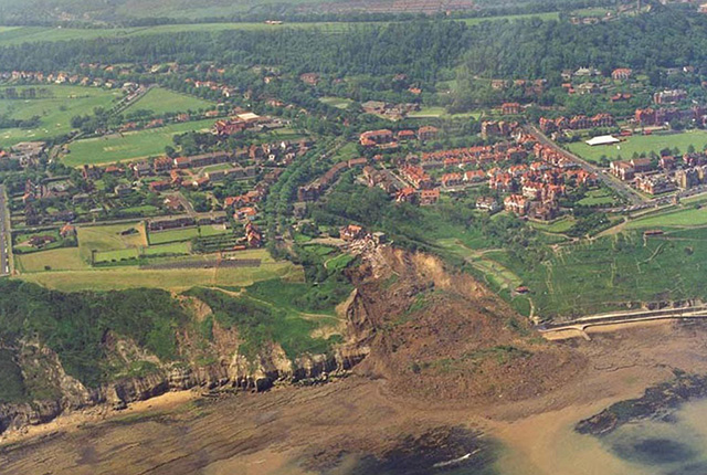
The potential for landsliding (slope instability) to be a hazard has been assessed using 1:50 000 scale digital maps of superficial and bedrock deposits. These have been combined with information from the BGS National Landslide Database and scientific and engineering reports.
- Premium
- 1:50 000
- Great Britain
Data Preview
 Data Preview
The potential for running sand to be a hazard has been assessed using 1:50 000-scale digital maps of superficial and bedrock deposits.
- Premium
- 1:50 000
- Great Britain
Data Preview
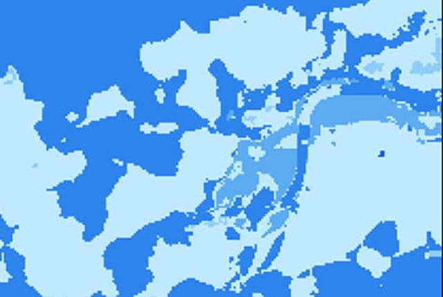
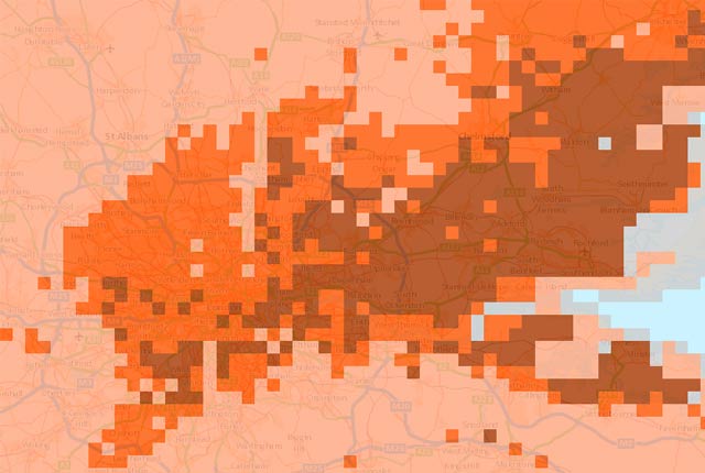
The shrink–swell 3D data is a regional hazard susceptibility map that identifies areas of potential shrink–swell hazard in 3D at intervals down to 20 m in the London and Thames Valley area.
- Premium
- 1:50 000
- London and Thames Valley
Data Preview
This is a single data layer that identifies areas of potential shrink–swell hazard that are underneath another solid formation and therefore hidden from the surface.
- Premium
- 1:625 000
- Great Britain
 Data Preview
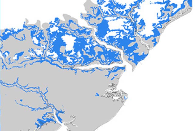
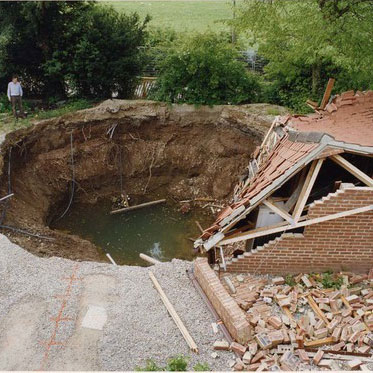
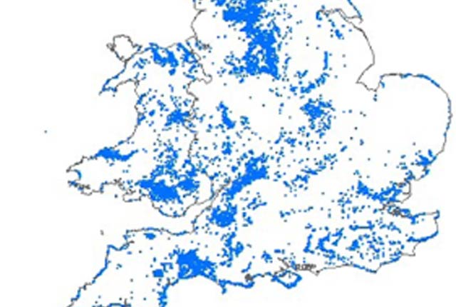
Ground dissolution occurs when water passing through soluble rocks produces underground cavities and cave systems. These cavities reduce support to the ground above and can cause localised collapse of the overlying rocks and deposits.
- Premium
- 1:50 000
- Great Britain
Data Preview
 API Available
The National Landslide Database is the most extensive source of information on landslides in Great Britain with over 17 000 records.
- Open / Premium
- Great Britain
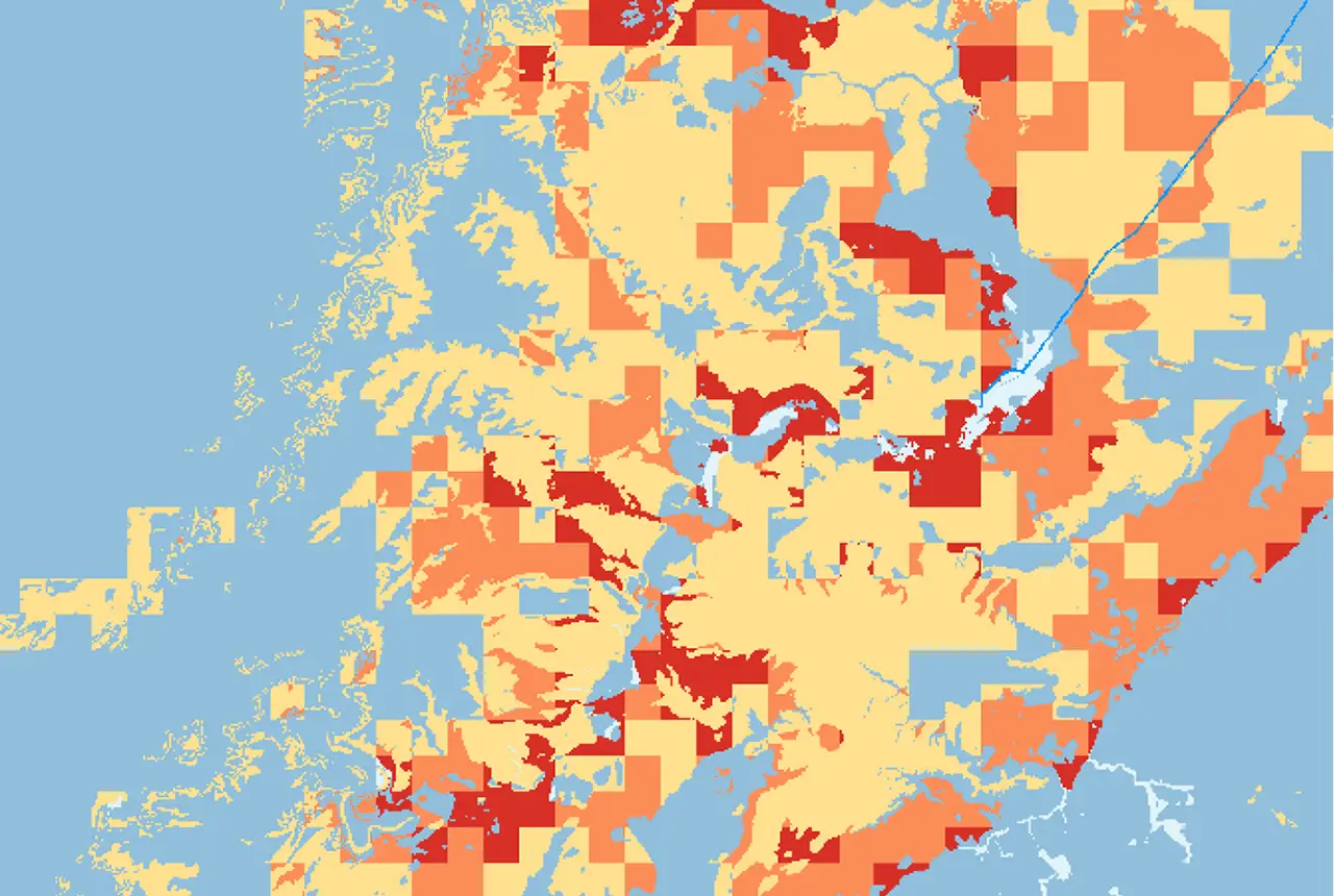
This product has now been superseded by the GeoClimate Shrink-swell dataset.
- Open
- 2 km gridded dataset
- Great Britain
 Data Preview
This product has now been superseded by the GeoClimate Shrink-swell dataset.
- Premium
- Quasi-1:50 000
- Great Britain
Data Preview
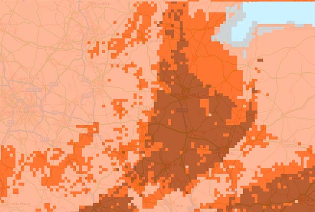
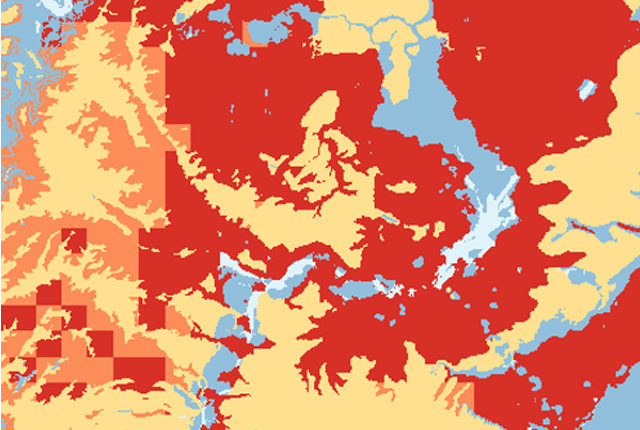
This product has now been superseded by the GeoClimate Shrink-swell dataset.
- Open
- 2km gridded dataset
- Great Britain
 Data Preview
This product has now been superseded by the GeoClimate Shrink-swell dataset.
- Premium
- Quasi-1:50 000
- Great Britain
Data Preview
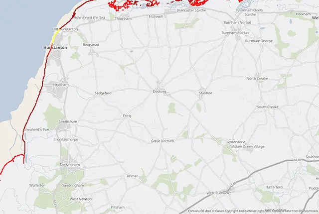
GeoCoast Open provides a range of historic images and diagrams extracted from our archives, memoirs and other publications, which can provide a reference for coastal change.
- Open
- Multiple
- Great Britain
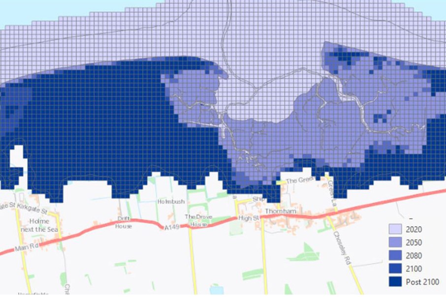
GeoCoast is an integrated GIS package of datasets designed to inform and support coastal management and adaptation.
- Premium
- 1:50 000
- Great Britain
 Data Preview
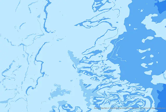
BGS has produced the geological indicators of flooding dataset from geological maps detailing the floodplains and coastal plains in Britain.
- Premium
- 1:50 000
- Great Britain
Data Preview
This product provides an index-level assessment of the potential for financial insurance loss due to natural ground movement.
- via BGS Data Resellers
- 1:50 000
- Great Britain
 Data Preview
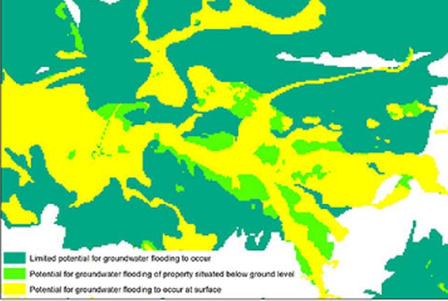
In response to the need for more information on groundwater flooding, BGS has produced the first national dataset on the susceptibility across Britain.
- Premium
- 1:50 000
- Great Britain
Data Preview
 API Available
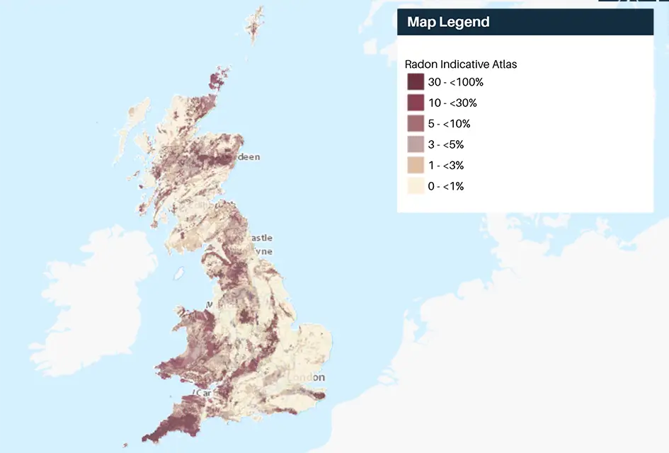
Radon is a natural radioactive gas, which enters buildings from the ground. Exposure to high concentrations increases the risk of lung cancer.
- Open
- 1 km grid size (approx. 1:1 000 000)
- Great Britain and Northern Ireland
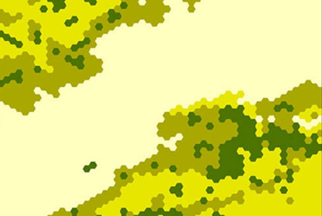
This dataset provides a generalised overview of the likelihood for mining to have occurred.
- Open
- 1 km hex grid (approx. 1:1 000 000)
- Great Britain
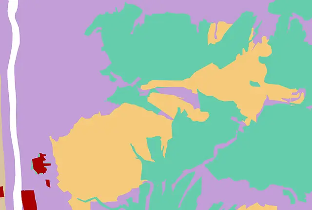 Data Preview
The mining hazard dataset provides essential information for planners and developers building in areas of former shallow underground mine workings.
- Premium
- 1:50 000
- Great Britain
Data Preview
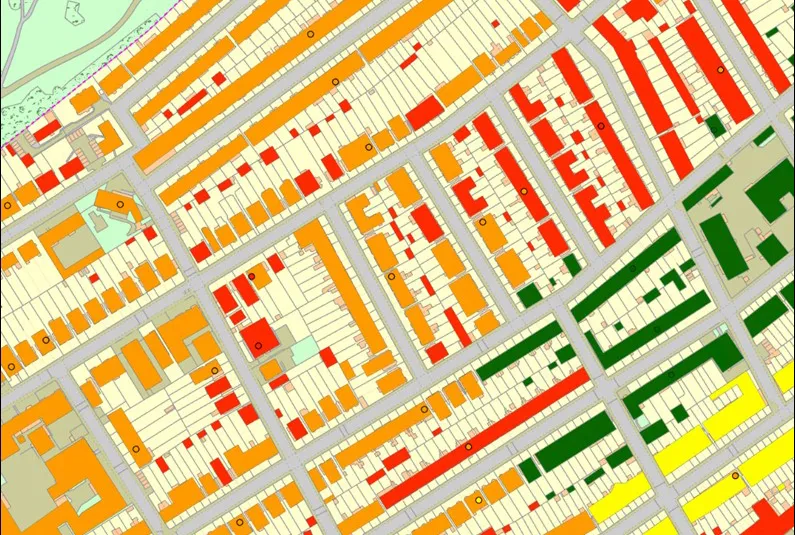
The BGS property subsidence assessment dataset uses a combination of best available geology, tree location and property information to provide property- and postcode-specific information on ground movement across England and Wales.
- via BGS Data Resellers
- PSA buildings: 1:50 000; PSA postcodes
- Great Britain

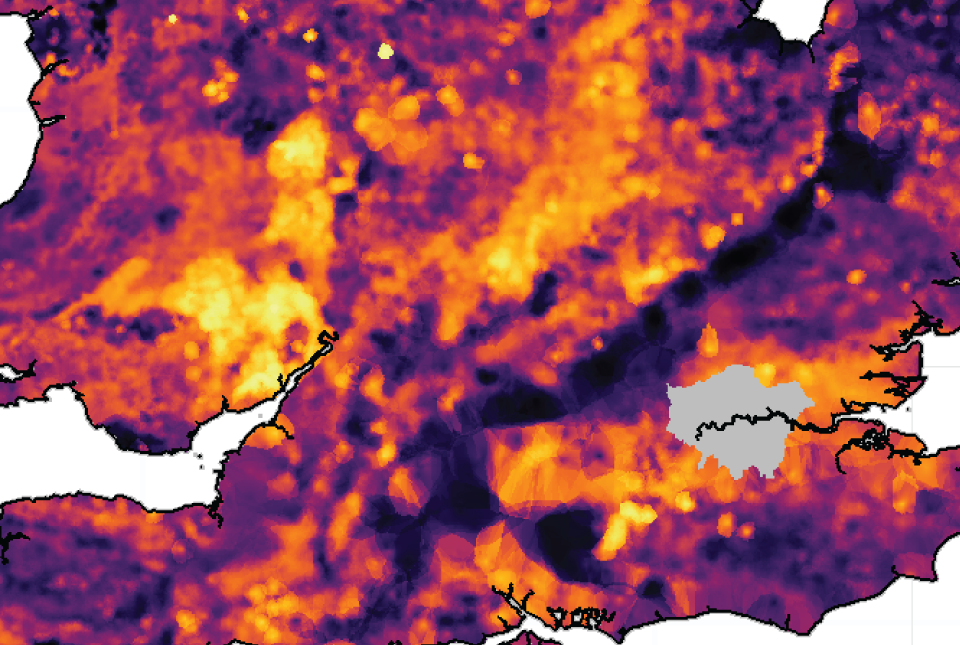
The radon potential dataset is the definitive map of radon-affected areas in Great Britain and Northern Ireland, created jointly by UK Health Security Agency (UKHSA) and the BGS.
- Premium
- 1:50 000
- Great Britain and Northern Ireland
 Data Preview
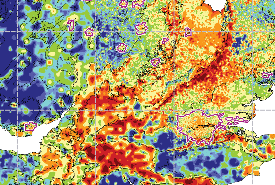
The UK stream sediment geochemistry maps present data compiled from the G-BASE and TellusNI geochemical projects.
- Open / Premium
- Great Britain and Northern Ireland
Data Preview
 Data Preview
The UK Compiled Topsoil Dataset (UKTS), is the most extensive topsoil geochemistry dataset for the UK.
- Open / Premium
- Partial UK Coverage
Data Preview