The main objectives of the Permian sandstone study were to undertake discontinuity analysis using LiDAR scans and to provide high-quality 3D images for further stratigraphical study, particularly where outcrops are inaccessible. The study also links with the Permo-Trias cross-cutting project, to provide detailed geological information to assess the suitability of Permian and Triassic strata for carbon capture and storage and to create 3D property models for flow modelling of carbon dioxide (CO2).
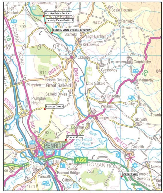

Figure 1: location of scan sites in the Eden Valley, Cumbria. Contains Ordnance Survey data © Crown Copyright and database rights 2020.
Locations of potentially suitable sandstone outcrops were identified by interrogating several BGS datasets and, following consultation with hydrogeological and mineralogical colleagues, six outcrops were scanned in the Eden Valley in Cumbria between April and July 2010 (Figure 1). The locations of these outcrops presented a number of challenges, including access issues, health and safety risks and technical problems with data acquisition.
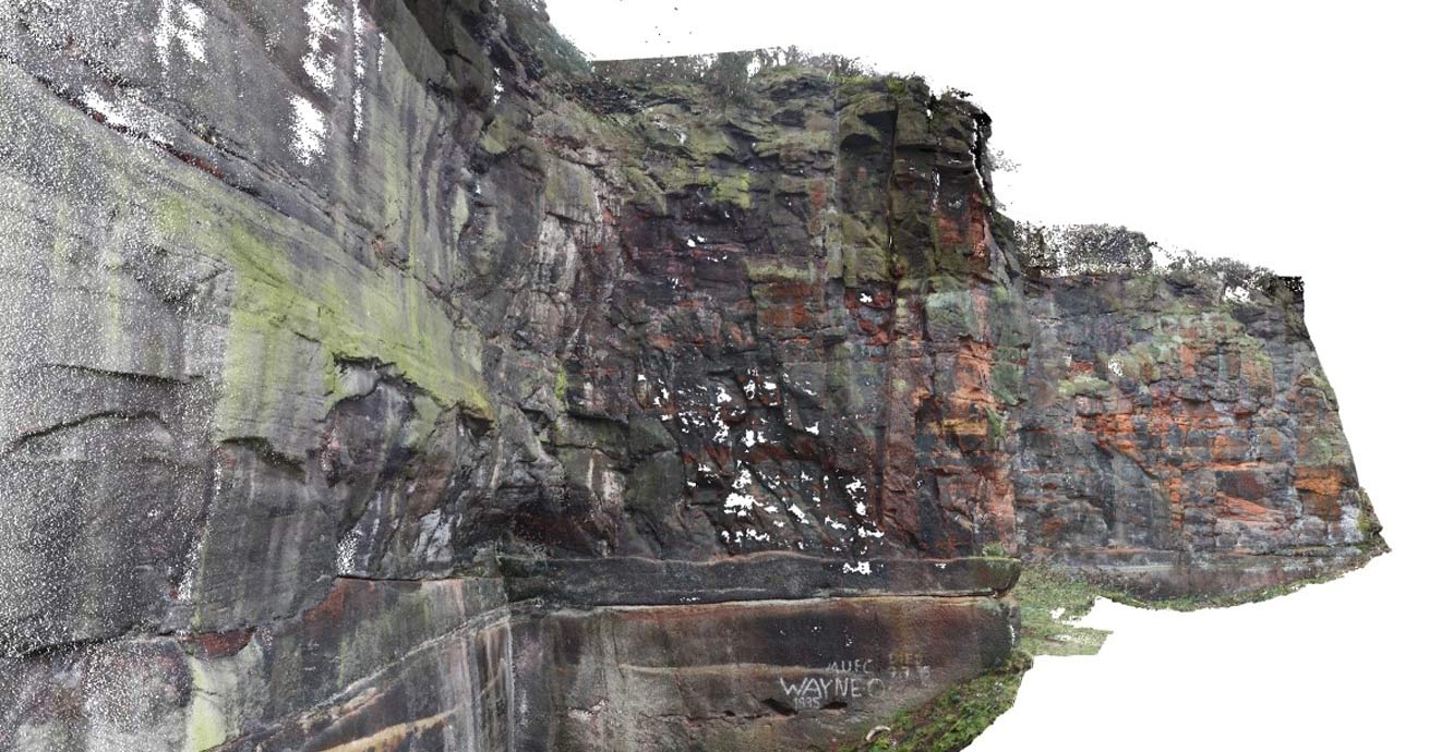
Figure 2: virtual outcrop model created using a coloured point cloud. BGS © UKRI.
The coloured LiDAR scans were used in order to create digital terrain models (DTMs) and virtual outcrop models (VOMs) of the outcrops (Figure 2). In turn, these models were used to create 3D S-grid facies models to be used for CO2 flow modelling, as part of research into carbon capture and storage in sandstone reservoirs (Figure 3).
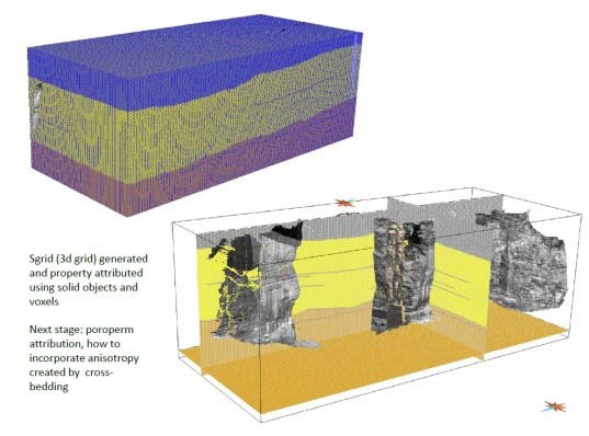
Figure 3: 3D-attributed S-grid generated from the VOM. BGS © UKRI.
Challenges
The main issues with the LiDAR scans carried out within the Eden Valley were the locations of the scan sites themselves and the problems with GNSS availability. The proximity of the scanning location to the outcrop was initially too close for the scanner to resolve (less than 5 m), therefore scans needed to be carried out from across the other side of the river. However, access to these locations was at times treacherous, made over long distances and time consuming.
The final locations themselves were not without problems either; they were tree covered and highly vegetated. This in turn caused problems with the GNSS, either due to the availability or viewing of available satellites, or due to the intermittent failure of the telephone link due the remote location. Even switching to the base station and rover method did not guarantee accurate results. Most scans were able to be correctly orientated by re-aligning them using ImAlign.
Contact
If you want to discover more then please contact Lee Jones.
Find out more about our research
Ground-based and near-Earth geomatic surveys
BGS has pioneered the use of ground-based (terrestrial) techniques for a variety of geoscientific applications since 1999.
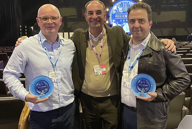
GSNI project wins multiple awards at RegioStars event
17/10/2025
The AGEO project enjoyed a double success at the RegioStars awards, hosted at the European Commission in Brussels.
AI and Earth observation: BGS visits the European Space Agency
02/07/2025
The newest artificial intelligence for earth science: how ESA and NASA are using AI to understand our planet.
UK’s geomagnetic blind spots tackled with new observatories
28/07/2022
Three new geomagnetic observatories have been installed across the UK to fill in the country’s ‘blind spots’ and tackle the risk posed by space weather.
Using satellite imagery for emergency disaster response
06/07/2021
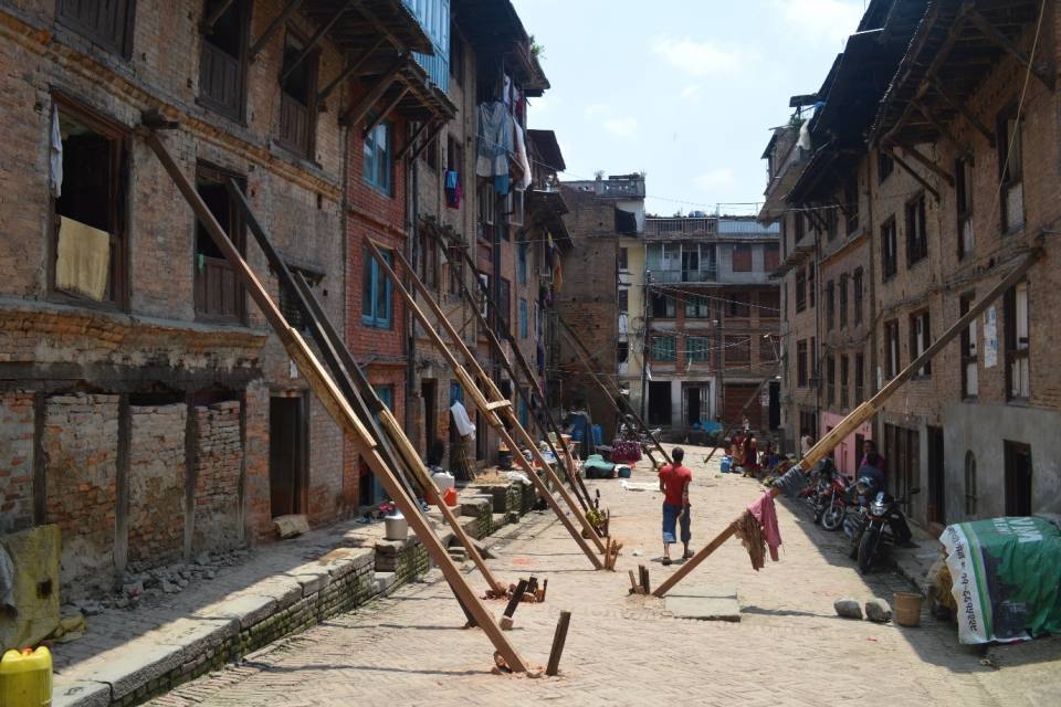
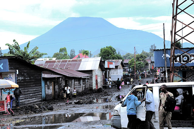
BGS has a long history of assisting relief efforts by providing satellite maps, data and interpretation to those affected by disasters, helping to identify hazardous areas to avoid.
Spaceborne data: an expanding role in disaster response
23/06/2021
Alessandro Novellino explains the importance of Earth observation to help facilitate successful emergency responses after natural hazard occurrences.
Virtual fieldwork during a global pandemic
03/03/2021
Virtual field reconnaissance can help maintain research momentum during the COVID-19 pandemic.
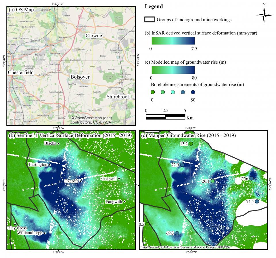
BGS data supports new tool to track geological changes in abandoned coal mines
20/11/2020
BGS data supports new tool to track geological changes in abandoned coal mines.
Joint project aims to support sustainable development in Kenya
12/10/2020
BGS is part of a joint UK-Kenyan international project that aims to blend data and information with local stakeholder input to explore the sustainable supply of sand and aggregates in Kenya.
Geodesy and Earth observation
Developing and using innovative Earth observation techniques to characterise and monitor Earth processes that affect lives and livelihoods.
Ground-based and near-Earth geomatic surveys
BGS has pioneered the use of ground-based (terrestrial) techniques for a variety of geoscientific applications since 1999.