Hazard and resilience modelling
BGS Research
The hazard and resilience modelling team develops new and innovative data products to provide geoscientific information to our stakeholders, served up in a format that is accessible and intuitive.
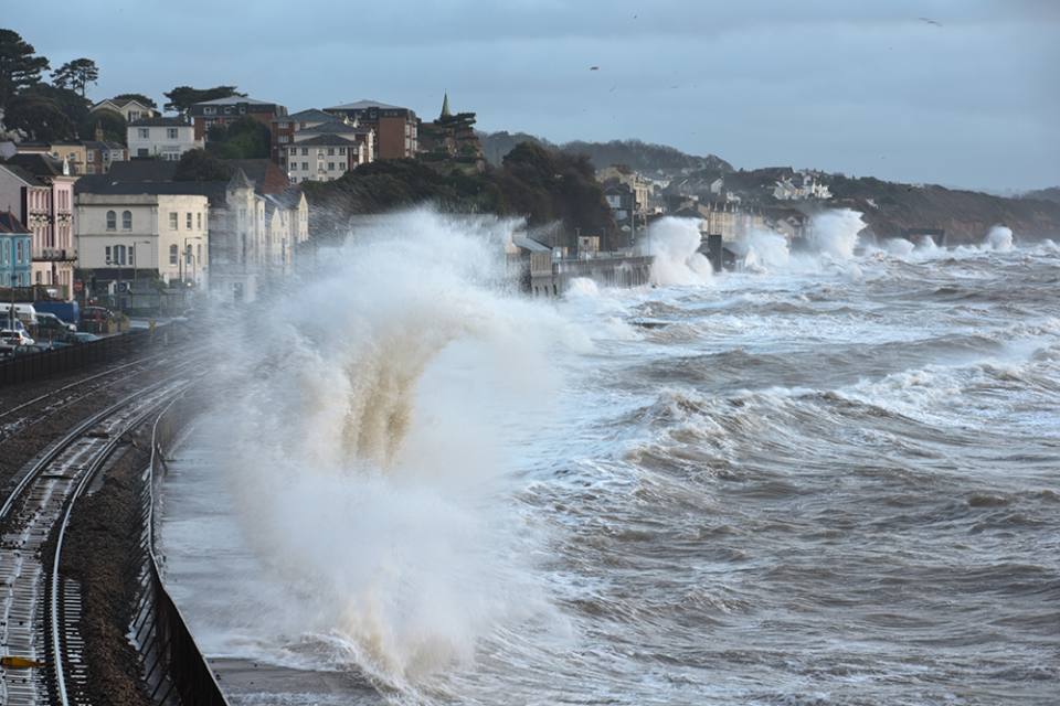

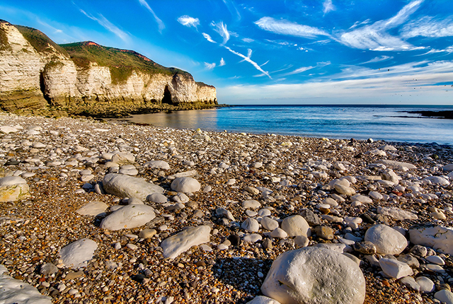
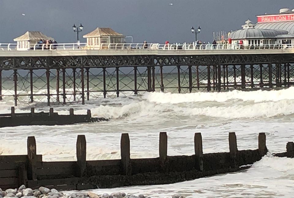
Large waves batter Dawlish, Devon, during high tide. © Moorefam.
Combining expertise from engineering geology, geochemistry, modelling, GIS and many more disciplines, the team aims to:
- supply data and knowledge to users that can be used in the analysis of a range of geo-environmental problems
- explore alternative and new methodologies with internal and external partners, developing existing products and services as well as generating new and innovative ones
- develop multidisciplinary data products
- develop dynamic products (i.e temporal or responsive) modelling factors such as impact, resilience, risk and uncertainty using numerical and stochastic techniques, improving the quality and integrity of products and services
- develop new and innovative methods of data presentation, particularly looking at how to incorporate near real-time data, dynamic process models and 3D geological models and data
Our focus groups include a broad range of members from industry, government, academia and data resellers. Depending on the stage of development of the research and products, meetings will be held around once per year in order to focus initial development needs and then again to direct the type of outputs, format and access requirements. We endeavour to create and deliver a broad range of products suitable for and tailored to stakeholder needs and your input into the development process is key.
We regularly work in partnerships and on collaborative projects such as NERC ERIIP, NERC Innovation, Innovate UK, Pathfinder and European Space Agency. We contribute both scientific and geospatial analytical skills and expertise.
The hazard and resilience modelling team have a broad range of data analytical skills and expertise and are able to provide commissioned services to stakeholders, for example a review of multiple geohazards tailored specifically to a network or asset portfolio. We have carried out work for National Grid, Network Rail, HS2 and others.
We are utilising data-driven techniques to further investigate the vast datasets that we have developed and that we curate. By delving deeper into the datasets and understanding the relationships between them, we are investigating how we might be able to develop and modify various outputs, including contributing to the advancement of existing hazard susceptibility maps. Examples of work in this area include:
- analysis of the outputs of various clustering algorithms with which to identify inter-relationships between our datasets
- contrasting data-driven approaches to heuristic methodologies, such as for GeoSure
- identifying models currently available to investigate space-time processes for applications such as urban hazard modelling
Find out more about our research
BGS products and services: climate change in the geo-environment
BGS are developing a range of climate-focused datasets to assist with this decision making, providing information that will help you make the right decisions when considering potential future climate impacts.
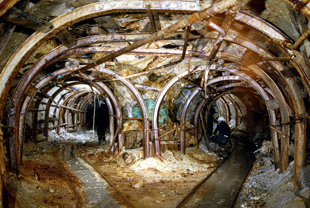
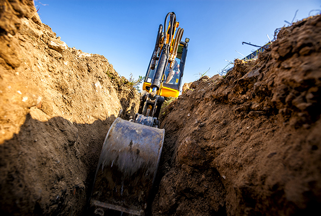
Mining hazard (not including coal)
Mining hazards considers the long and varied legacy of underground extraction of minerals in Great Britain. Previous research has defined the spatial extent of non-coal mining and now the BGS isinvestigating the ‘zone of influence’ around areas of underground mining.
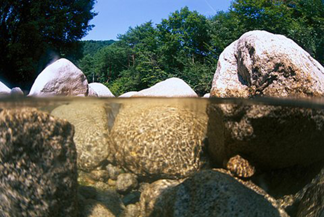
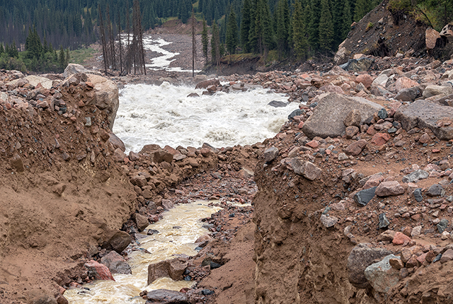
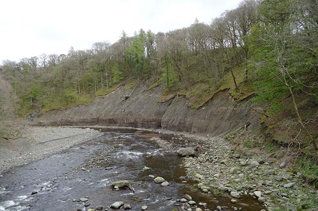
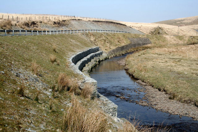
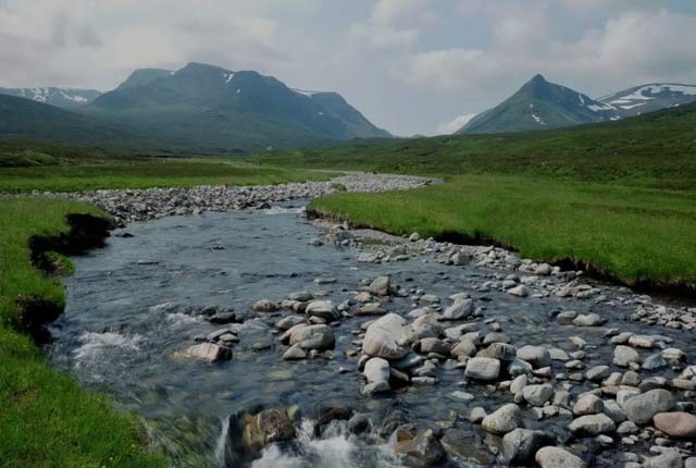
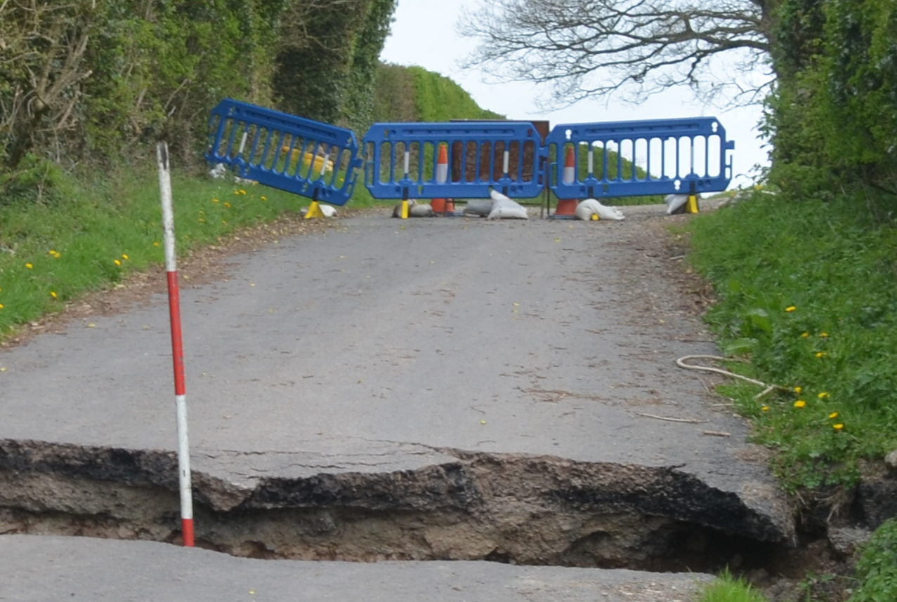
Scour
River scour can occur when the forces imposed by the flow on a sediment particle exceed the stabilising forces acting upon it. This project will provide a tool that helps stakeholders make business decisions about survey, remediation and maintenance of in-river structures, with the aim of filling the gap in current scour modelling by providing a combined geological and hydrological assessment tool using site-specific case studies to build and validate a national to local-scale nested model.
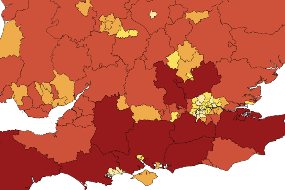
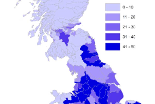
Geospatial assessment of susceptible geohazards
BGS have published UK regional hazard maps revealing the most susceptible local authority regions around the country. The maps provide regional decision makers with an overview of the relevant hazards in their local area and provide an important indication of where more detailed hazard data may be required.
Our projects
Land feasibility interrogation tool (LandFIT)
LandFIT is a land suitability assessment tool, for the assessment of conflicting demands on land, appropriate and optimal use for land for planning purposes.
Multi-hazard impact assessment system (MImAS)
Multi-hazards, such as floods causing slope failure or bridge collapse, are increasingly active within our environment and affect power supply, transport, etc. We are developing a multi-hazard impact assessment system to identify locations throughout the UK at greatest risk from the combined effects of multiple natural hazards.
Repurposing for emergency service usage (REScUe)
REScUe is repurposing BGS geohazard datasets in conjunction with emergency responders in order to deliver appropriate data for specific situations.
Suitability and viability of green infrastructure (SVGI)
Green infrastructure is a key component of modern urban environments. This project explores the geological properties and ground conditions that can affect green infrastructure environments.
Climatic hazards and natural geological events (CHANGE)
Climate change is an increasingly important issue affecting us all, from housing subsidence to road or pipe damage. This research focuses on the potential effects of climate change on subsidence, and how tools for future scenario forecasting can aid planning and development.
Related news
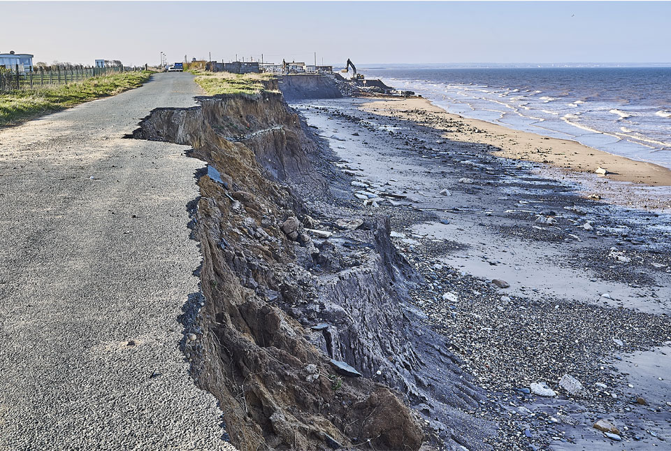
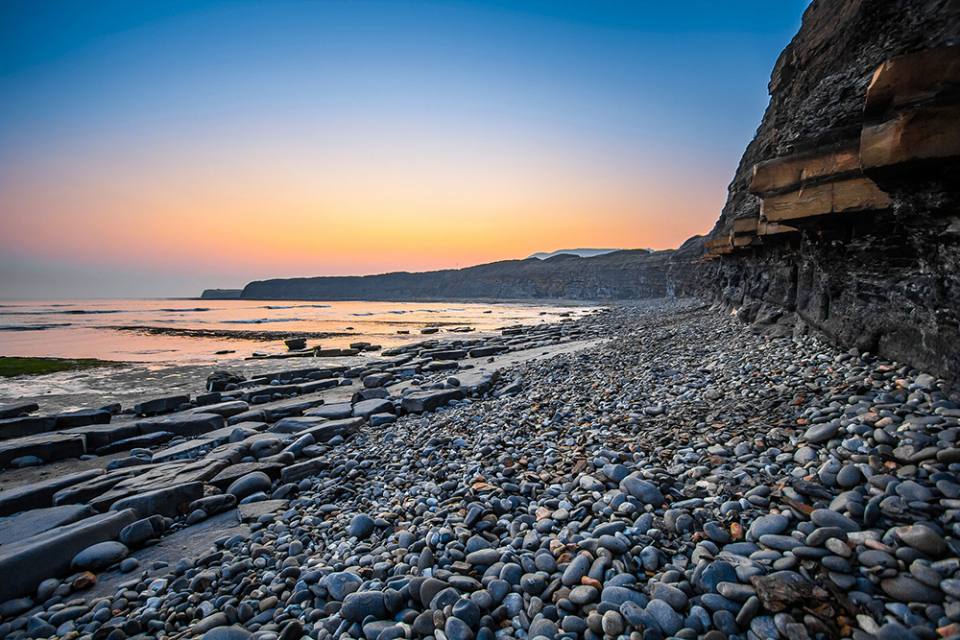
Spotlight on BGS coastal erosion data
18/07/2024
BGS GeoCoast data can support researchers and practitioners facing coastal erosion adaptation challenges along our coastline.
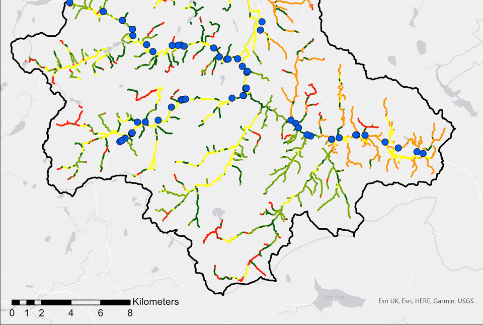
BGS GeoScour: bridging the river erosion data gap
31/08/2022
The geological properties of bedrock and superficial deposits that make up riverbeds and banks are fundamental controls on the susceptibility of any given river reach to scouring.
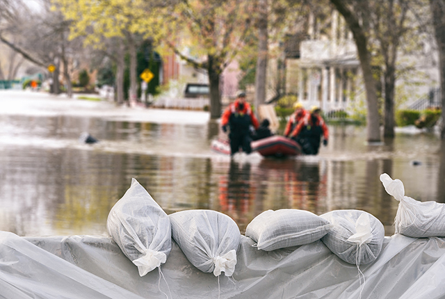
River erosion: the forgotten hazard of flooding
03/08/2022
Impacts from flood events can be widespread, long-lasting and extremely costly. The UK Government and environmental protection agencies continue to invest heavily in mitigation measures, as well as trying to predict which areas are most at risk.
GeoScour dataset launch event
Event on 08/09/2022
BGS Product Development invites you to the launch of our newly updated dataset, GeoScour.
BGS GeoScour Open
The BGS GeoScour Open datasets provide a generalised overview of the natural characteristics and properties of catchment and riverine environments for the assessment of river scour in Great Britain.
BGS GeoScour Premium
The BGS GeoScour datasets provide a generalised overview of the natural characteristics and properties of catchment and riverine environments for the assessment of river scour in Great Britain.
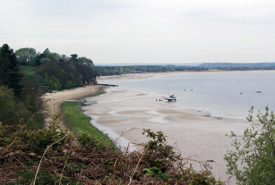
Introducing GeoCoast: new coastal datasets from BGS
20/04/2022
GeoCoast is an integrated GIS package of datasets designed to inform and support coastal management and adaptation.
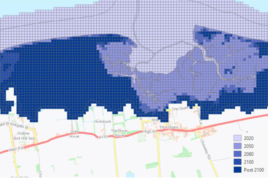
Six changing coastlines and how climate change could affect them
12/04/2022
We explore how parts of the British coastline are changing and what important factors we should consider in terms of natural hazards, adaptation and resilience.
Sea level rise and coastal erosion: what’s the real impact?
05/04/2022
How much of an issue are coastal vulnerabilities and what do we need to consider to increase our resilience to future events?
New BGS datasets for coastal management, planning and adaptation in the face of climate change
29/03/2022
BGS GeoCoast is a package of geospatial datasets designed to provide information on the geological conditions and constraints around the coastline of Britain.
GeoCoast dataset launch event
Event on 28/04/2022
BGS invites you to discover more about our new data product to underpin coastal decision making, resilience and adaptation.
GeoCoast Premium
GeoCoast is an integrated GIS package of datasets designed to inform and support coastal management and adaptation.
You may also be interested in
Multi-hazards and resilience
We work with partners worldwide to enhance understanding of hazards, vulnerability, exposure and risk to ensure our science is useful, usable and used.
Shallow geohazards
Measuring, recording and analysing near-surface geological hazards including landslides, sinkholes and discontinuities.