The land feasibility interrogation tool, or LandFIT, is a land-suitability assessment tool currently under development for assessing the conflicting demands on land. This novel project is looking to exploit BGS data using creativity and innovation for the planning sector.
LandFIT brings spatial data together into a map interface where it can be interrogated and queried in a context relevant to the user. This tool will be designed to help developers, planners and other users to find answers to specific questions without the need for a detailed understanding of the numerous BGS datasets. For example, a planner with limited knowledge of geology could require a clear and straightforward, site-specific result for the geological suitability of land for housing development.

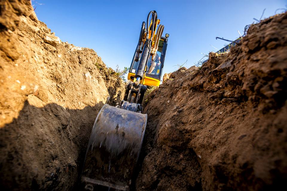
A mini-excavator digs the foundation for a house. © Avalon_Studio.
LandFIT features
Interactive features will be included with the LandFIT assessment tool, allowing for dynamic, user-input interaction for different scenarios. Scenarios can be tested via the tool interface using models with variable properties. The ability of the user to interact with the data allows businesses to make informed decisions without having to directly interact with the mathematical models that underlie the data and calculations.
Beneficiaries
Industries that could benefit from LandFIT include:
- agriculture
- development
- energy
- extraction
- heritage
- infrastructure
- planning
- tourism
- waste
- water
Contact
If you want to discover more then please contact Clive Cartwright.
You may also be interested in

Hazard and resilience modelling
Developing new and innovative data products that deliver geoscientific information to a range of users in an accessible form.


