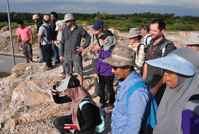
Urban geoscience
BGS Research

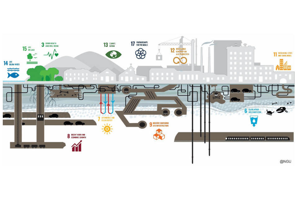
The geosciences have an important but often underappreciated part to play in securing sustainable and resilient global cities.
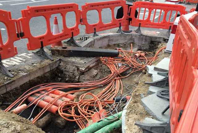
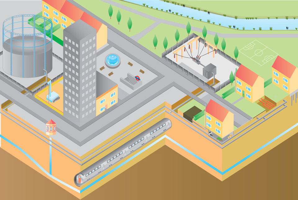
Our towns and cities have evolved to exploit the urban subsurface in a multitude of different ways — for example, water supply, transport tunnels and basements — and each is influenced by its individual geological setting. To help unlock the value of the ground we need to understand its multiple and complementary uses to avoid potential conflicts, manage risks and evaluate competition for space and function.
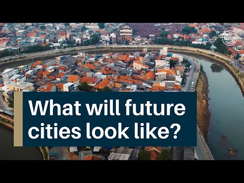


The city of the future could be hazard resilient, resource sustainable and rich in natural capital — but only if we act today.
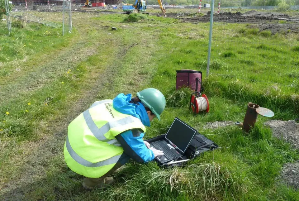
BGS Urban Geoscience provides solutions for urban land-use planning and sustainable development. We adopt an integrated approach to research, working alongside city planners, engineers, developers and academia to develop new techniques and methods to understand the complex processes that occur in the ground beneath our towns and cities.
Our primary areas of activity are:
- provision of geoscience data and information for urban planning in support of policy, legislation and the UN’s Sustainable Development Goal 11 (sustainable cities and communities)
- characterisation of ground conditions for major infrastructure projects to support options appraisal and analysis of risk
- development of methods for sustainable management and use of urban subsurface space, including approaches for 3D and 4D geological characterisation
- evaluation of anthropogenic pressures and interactions in urban environments
Further information
Helping to solve the UK housing crisis with a new tool to understand brownfields by Catherine Pennington
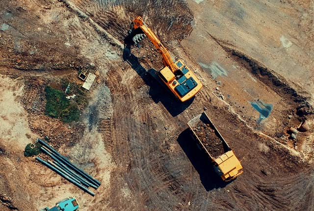
The BGS has developed a new tool to help understand the ground conditions and estimate likely costs of remediating brownfield sites. The tool can be used by councils across the country to help the planning process. It has the potential to save the construction industry millions of pounds and increase buyer confidence for those considering the redevelopment of brownfield sites.
Why do we need to know what’s under our cities? And what’s it got to do with icebergs?! by Catherine Pennington
Subsurface information is tricky to access unless you know what you are doing and the consequences for getting it wrong can be disastrous. Project Iceberg aims to remedy this situation.
Verticality and the Anthropocene: politics and law of the subsurface by Stephanie Bricker
Stephanie explores the ideas emerging from a session at the 2015 Royal Geographical Society conference and the mix of social perspectives and practical applications.
Future visions for water and cities by Stephanie Bricker
With eight grand challenges, five bold future visions and 200 co-creators, the UK Water Partnership opened the debate on water for our future cities.
Reconnecting the city: historic urban landscape and the role of geology by Deodato Tapete
In his book review, Deodato Tapete, a former applied urban geologist at the BGS, examines the current challenges and opportunities for the historic urban landscape in future cities.
- Urban geoscience brochure
- A handy Sustainable Drainage Systems guide for developers
- Project Iceberg: breaking new ground for future cities
- Thought pieces for the GO-Science Foresight Future of Cities project: Future Cities: development underground (6.16MB pdf)
- Investing in urban underground space — maximising the social benefits — Think Deep UK Blue Paper (Bricker et al.) (3.2MB pdf)
- Pathways and pitfalls to better suburban planning
Find out more about our research
Project Iceberg
Project Iceberg aims to address the serious issue of the lack of information about the ground beneath our cities and the un-coordinated way in which the subsurface space is managed.
Brownfield ground risk calculator
The Brownfield Ground Risk Calculator is a digital planning tool developed to help identify the scale of risks and unexpected costs associated with ground conditions.
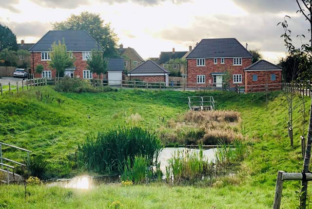
Sustainable drainage systems
Sustainable drainage systems (SuDS) are drainage solutions that provide an alternative to the direct channelling of surface water through networks of pipes and sewers to nearby watercourses.
Resilience of Asian cities
Our research aims to improve city resilience by integrating geology into urban subsurface planning and urban-catchment science in India and south-east Asia
The Common Ground project
The Common Ground project aims to enhance the value of ground investigation data for the UK construction and environmental sectors.
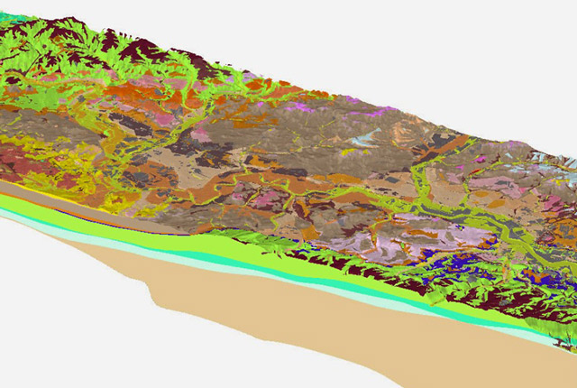
3D urban geology
Providing conceptual understanding of the subsurface below our cities to support planning and development, using 3D urban models.
Related news

Funding secured to help mitigate ground risk in UK construction sector
05/02/2026
The BGS Common Ground project has been awarded new funding to help unlock the value of ground investigation data.

World Cities Day: the geological story of our cities
31/10/2025
Understanding the rocks that underlie our towns and cities, the risks they can present and how they influence urban planning and redevelopment.
Pioneering tool expanding to analyse agricultural pollution and support water-quality interventions
06/02/2025
An online tool that shows which roads are most likely to cause river pollution is being expanded to incorporate methods to assess pollution from agricultural areas.
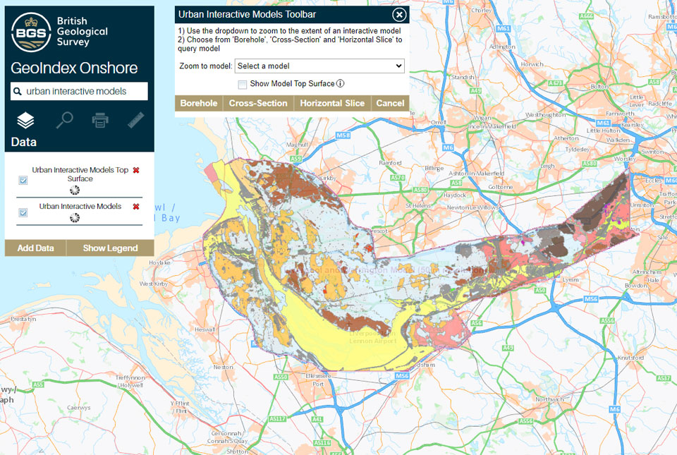
What lies beneath Liverpool?
11/10/2024
The geological secrets lying under the surface of Liverpool and Warrington have been unveiled for the first time in BGS’s 3D interactive tool.
New community launched to support effective management of the subsurface
03/10/2024
The initiative aims to increase knowledge exchange on subsurface issues between interested parties involved in subsurface policy and planning.
Delivering a sustainable urban future for Europe through geoscience
08/05/2024
Research, led by BGS and EuroGeoSurveys’ Urban Geology Expert Group, explores how urban geoscience is reflected in European urban and environmental policy.

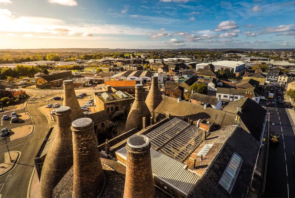
Building stones spotlight: the Sir Walter Scott Memorial 25 years after its conservation
29/04/2024
BGS geologist, Luis Albornoz-Parra, discusses the iconic Edinburgh monument, the building stones used in its construction and the result (so far) of its conservation efforts.
The Common Ground project
The Common Ground project aims to enhance the value of ground investigation data for the UK construction and environmental sectors.
Building underneath the Colosseum: the importance of urban geology
21/11/2022
Tim Kearsey reports on his underground excursion around Rome.
Sampling salt marsh sediments: a Thames microplastics fieldtrip
15/08/2022
Megan Trusler gives an overview of her PhD project, which studies the role salt marshes play in the accumulation and transport of microplastics.
Soil maps could hold the key for urban planning
18/01/2022
Research by BGS has developed a predictive model to evaluate levels of bioaccessible contaminants in urban soils and their relationship with the underlying geology and former industrial land use.
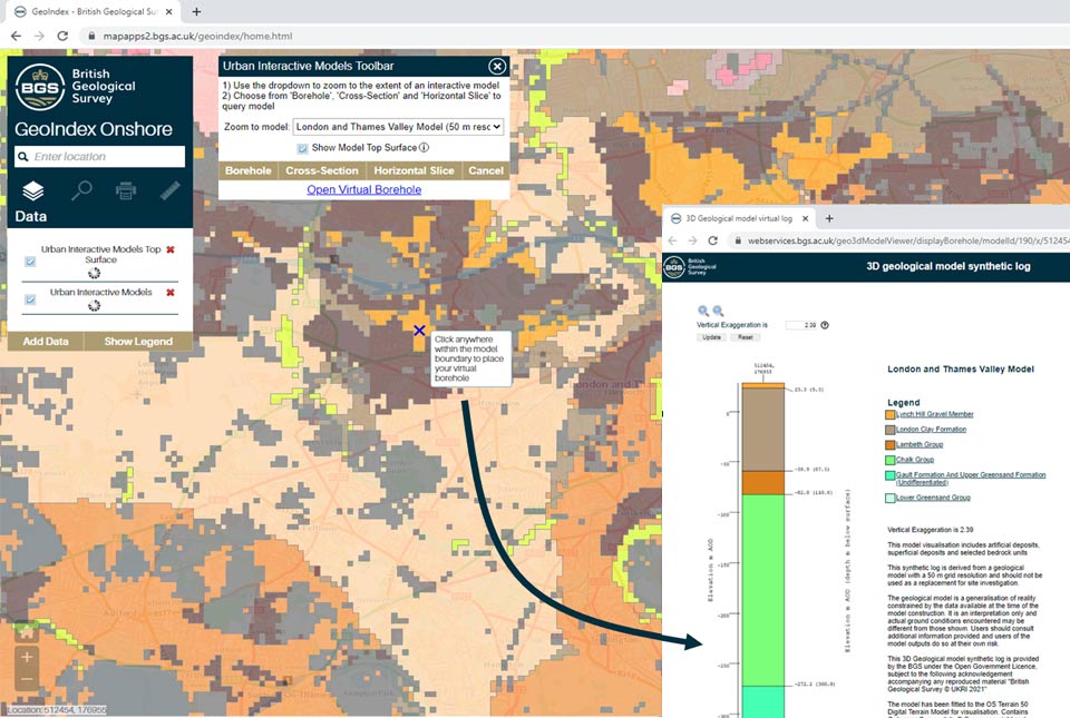
New tool provides users with free access to geological models for three major UK cities
18/11/2021
A new tool providing free user access to 3D geological models has been added to the GeoIndex.