Soil maps could hold the key for urban planning
Research by BGS has developed a predictive model to evaluate levels of bioaccessible contaminants in urban soils and their relationship with the underlying geology and former industrial land use.
18/01/2022 By BGS Press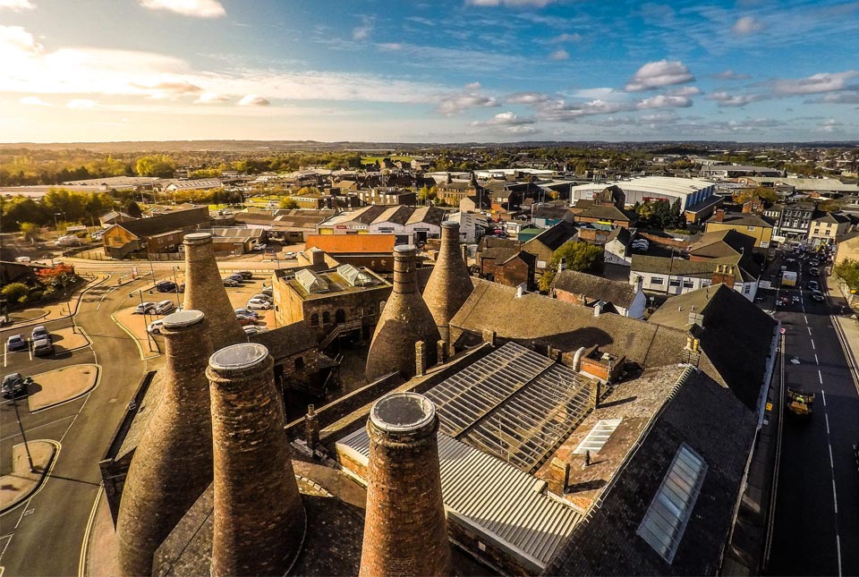

As cities across the UK strive to breathe life into formerly industrialised areas, there is growing concern about potential negative effects on human health and the surrounding environment from concentrations of potentially harmful elements (PHEs) found in soil.
It is therefore essential to understand not only the total concentration and spatial extent of PHEs in urban soils but also, through bioaccessibility measurements, the potential hazard they pose to human health. This knowledge can then be used by planners and developers to help minimise potential health impacts and provide guidance on the best redevelopment land use.
Scientists at BGS applied a geochemical modelling and mapping approach to predict the human availability (bioaccessibility) of PHEs to over 700 surface soil samples taken from Stoke-on-Trent and believe the method could be applied to an archive of soil samples held by BGS from numerous urban centres.
The research is published in the open access journal Geosciences, published monthly online by MDPI.
The modelling found that the county’s former industrial heritage influenced the concentrations of bioaccessible arsenic and lead. The method, which combines soil samples with unified BARGE method and random forest modelling, could help to predict the bioaccessibility of soil contaminants in other urban cities.

Mapping of predictive data is essential to support urban redevelopers and policy frameworks when it comes to identifying and prioritising sites for suitable regeneration.
Developing bioaccessibility maps using our modelling and mapping approach provides an important resource for contaminated land risk assessments and land-use planning, and could be applied as a standard approach for other urban centres.
Joanna Wragg, lead author, BGS.
The industry of Stoke-on-Trent has left a landscape rich in industrial heritage characterised by once-widespread bottle kilns, canals, wharfage and disused railways.
Once home to the pottery industry in England, it is documented that over 100 potteries have emerged in the county since the 1700s. The manufacture of colours and chemicals for potteries, glazed brick manufacturers, glassmakers and enamellers was common across the region, their variety and decorative colour dependent on metal oxides.
Stoke-on-Trent was also home to numerous steel and iron works, the largest being the Shelton Bar Steelworks, which stretched across the Etruria Valley and, at its height, employed a workforce of 10 000 and included multiple coal mines, steelworks, rolling mills and blast furnaces before finally closing in 2000.
Naturally elevated concentrations of PHEs are also found in the coal measures that surround the city. The Staffordshire coalfield supported the development of Stoke-on-Trent as an industrial city.
The rapid growth of the local pottery and steel industries, and the supporting large coal industry, resulted in widespread urban growth that combined residential, retail and industrial developments. Today, regeneration of the city has re-purposed these once industrial areas of potentially contaminated land for new industrial, residential and community use.
It is precisely this range and distribution of past and present industrial activity in urban areas like Stoke-on-Trent that provides a challenge for understanding the complex mixtures of contaminants in soils, which in turn are heavily influenced by geological and environmental processes.
Soils act as sinks and sources of PHEs, which in turn are heavily influenced by the underlying geology, environmental processes and the way in which previous land use determined the nature and deposition of contaminants.
We chose to study the concentrations, bioaccessibility and spatial distribution of arsenic and lead as common priority soil contaminants for human health risk assessment. Use of this model suggests the source of both of these elements is driven by heavy industrial and human activity.
Understanding these sources of contamination and, as a result, the potential mobility is therefore important in evaluating potential for and the impacts of re-purposing land for other end uses, which could include green spaces and urban housing.
Joanna Wragg, lead author, BGS.
The soil samples were part of BGS’s Geochemical Survey of Urban Environments (GSUE) project, an integral part of wider G-BASE and TellusNI programmes.
The geochemistry maps were superimposed onto the Ordnance Survey New Popular Edition historic map (one inch to one mile) of Stoke-on-Trent (1940s) using QGIS to visualise linkages between the industrial past and the spatial soil geochemistry of the area.