Latest

Delving deep into mountains for future water security
16/07/2026
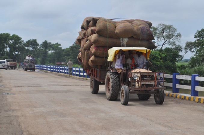
A BGS-led project is using new water-tracing investigation methods, geophysics and modelling to understand how water moves from mountains to the lowlands, helping to improve water security for billions of people.

Updated national 3D model will determine the depth to the solid bedrock beneath our feet
13/07/2026
The BGS Superficial Deposit Thickness Model now includes an elevation model of geological rockhead for the first time, providing important data for civil engineers, geoscientists and environmental scientists.


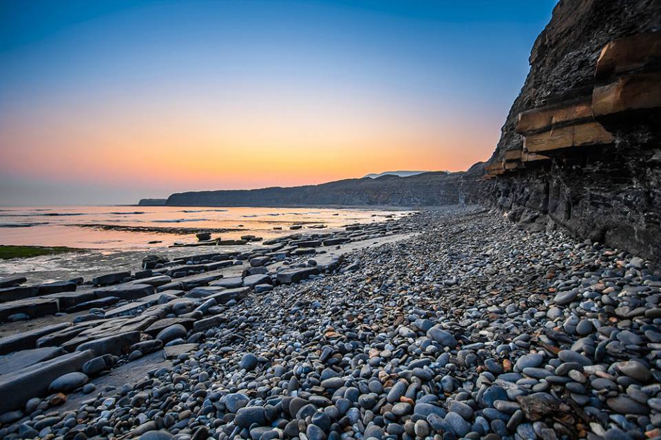
Collecting beach pebbles: fun hobby but is it legal?
14/07/2026
The UK coastline will be inundated with keen holidaymakers this summer, many of whom will take a memento of their trip home in the shape of a pebble or two — but is it legal?
Explore more news
Browse all news and events by category
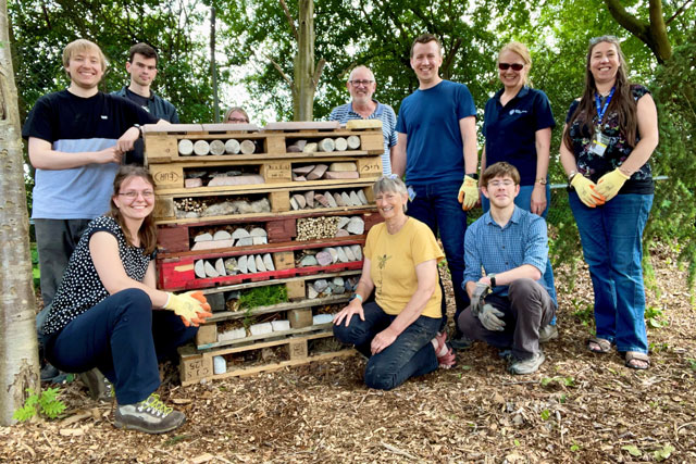
Staff sustainability practices around BGS
01/06/2022
BGS recently made time for employees at our sites around the UK to spend a few hours on projects focusing on increasing sustainability, both in their offices and in the local area.
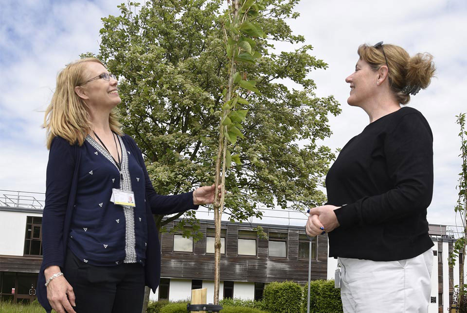
Positively blooming: Japanese flowering cherry trees planted at BGS Keyworth to mark the Queen’s platinum jubilee
31/05/2022
The walkway of eight trees has been planted in the grounds of BGS headquarters in Keyworth to celebrate Queen Elizabeth II's 70 years on the throne.

BGS to join worldwide geoscience community at EGU General Assembly 2022
20/05/2022
The EGU General Assembly 2022 brings together geoscientists from all over the world for one meeting from 23 to 27 May.
Mining hazard data (not including coal) from BGS
17/05/2022
Great Britain has over 250 000 documented mining sites and the underground voids resulting from past mining activity pose a possible hazard. Knowledge of the distribution of former mining areas will help us to plan for future development and ongoing maintenance.

New publication shows geological supply of bismuth is greater than previously understood
17/05/2022
A new publication highlights the wide-ranging geological availability of bismuth, a critical raw material that has historically been overlooked in academic research.
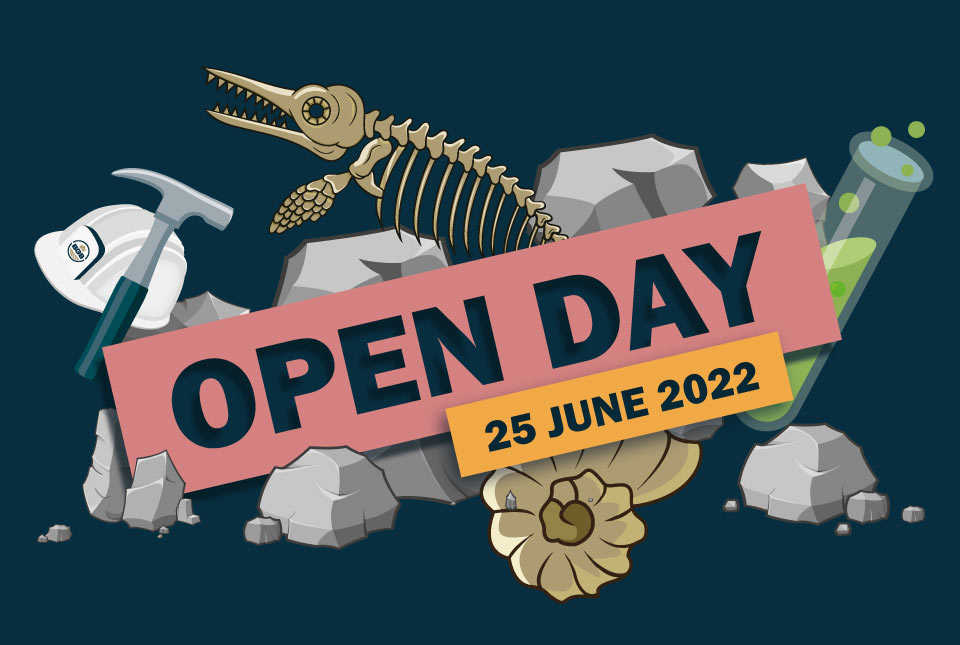
BGS Open Day 2022
Event on 25/06/2022
Join us for a FREE day of science and discovery as we explore the fascinating world beneath our feet!
Hidden from view: a century of rising groundwater levels in India and Pakistan
22/04/2022
Groundwater storage increased in Pakistan and north-west India for most of the 20th century, a new study shows. So why is there a water crisis?
Introducing GeoCoast: new coastal datasets from BGS
20/04/2022
GeoCoast is an integrated GIS package of datasets designed to inform and support coastal management and adaptation.