Latest

Delving deep into mountains for future water security
16/07/2026
A BGS-led project is using new water-tracing investigation methods, geophysics and modelling to understand how water moves from mountains to the lowlands, helping to improve water security for billions of people.

Updated national 3D model will determine the depth to the solid bedrock beneath our feet
13/07/2026
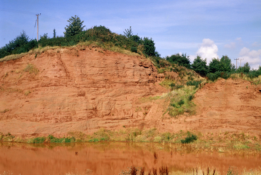
The BGS Superficial Deposit Thickness Model now includes an elevation model of geological rockhead for the first time, providing important data for civil engineers, geoscientists and environmental scientists.


Collecting beach pebbles: fun hobby but is it legal?
14/07/2026
The UK coastline will be inundated with keen holidaymakers this summer, many of whom will take a memento of their trip home in the shape of a pebble or two — but is it legal?
Explore more news
Browse all news and events by category

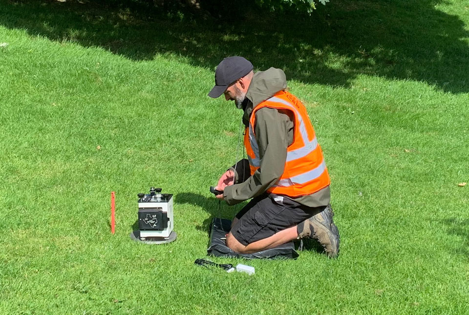
Electromagnetic geophysics in Japan: a conference experience
23/10/2024
Juliane Huebert took in the fascinating sights of Beppu, Japan, while at a geophysics conference that uses electromagnetic fields to look deep into the Earth and beyond.
Next stage of funding awarded for project on hydrogen storage potential in the East Midlands
17/10/2024
BGS will conduct essential studies on hydrogen behaviour in the subsurface to predict, measure and monitor underground hydrogen storage.
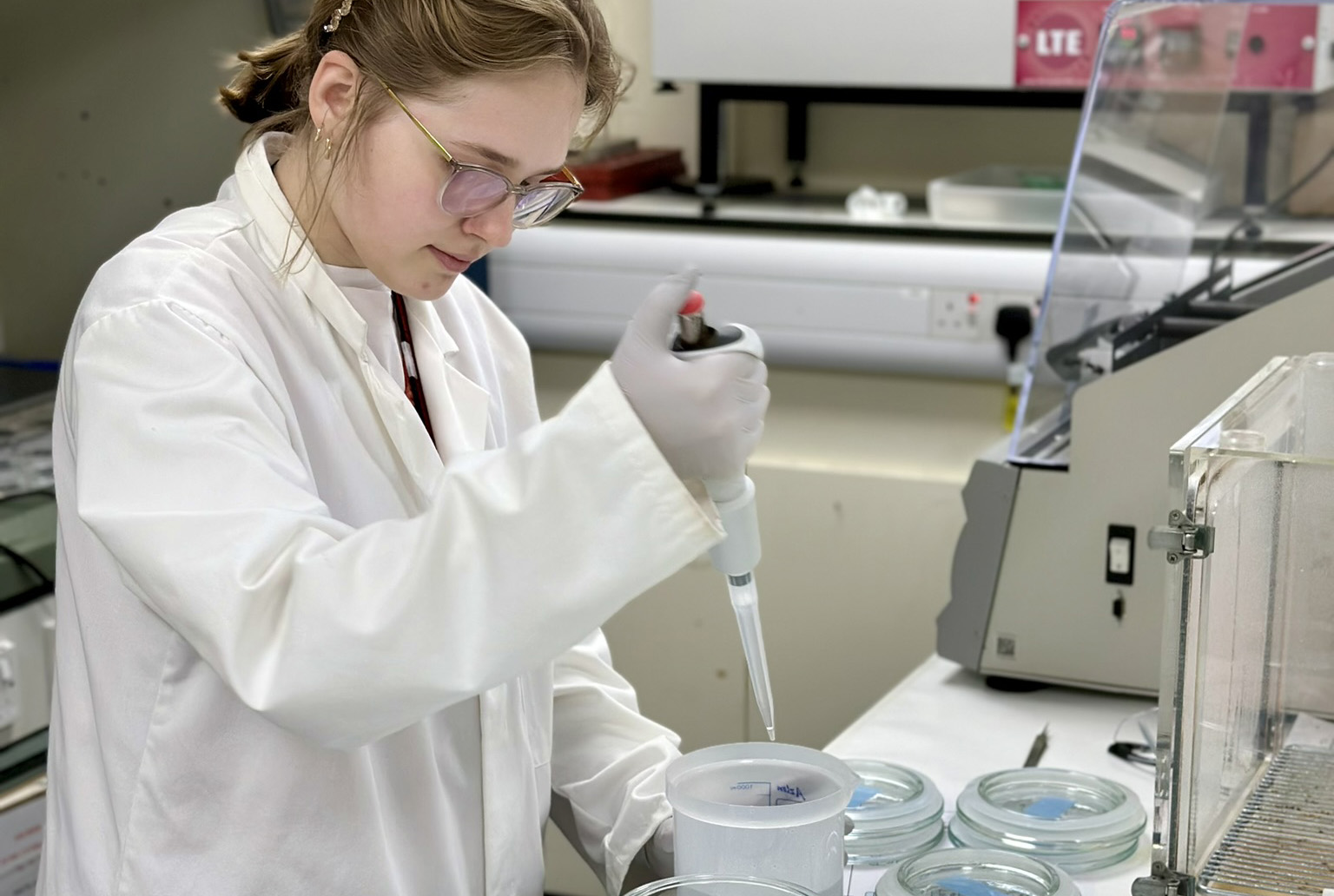
BGS chemists involved in new project developing early detection test for bladder cancer
15/10/2024
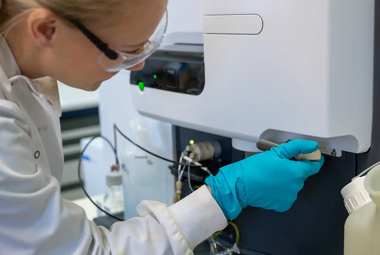
BGS is combining its expertise with researchers from Queen’s University Belfast, the University of Dhaka and the International Agency for Research on Cancer to further develop a urine-based early detection test.
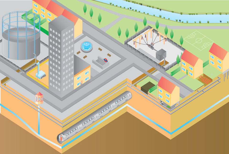
What lies beneath Liverpool?
11/10/2024
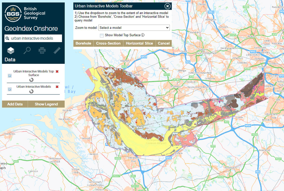
The geological secrets lying under the surface of Liverpool and Warrington have been unveiled for the first time in BGS’s 3D interactive tool.
World-class facility creates new opportunities for geothermal energy in Cheshire
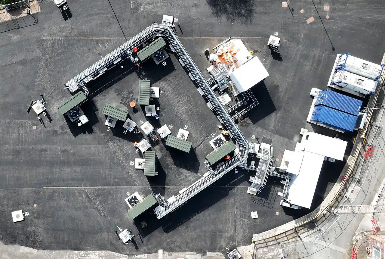
10/10/2024
The £8.3 million underground observatory will enhance the UK’s knowledge on the clean energy required to decarbonise heating.
Exploring the role of stable isotope geochemistry in nuclear forensics
09/10/2024
Paulina Baranowska introduces her PhD research investigating the use of oxygen isotopes as a nuclear forensic signature.
New research hub announced as part of £160 million investment
08/10/2024
Focusing on quantum sensing, imaging and timing, the hub will be launched at the end of this year as part of an investment announced by the Science Secretary.
New community launched to support effective management of the subsurface
03/10/2024
The initiative aims to increase knowledge exchange on subsurface issues between interested parties involved in subsurface policy and planning.