

Latest
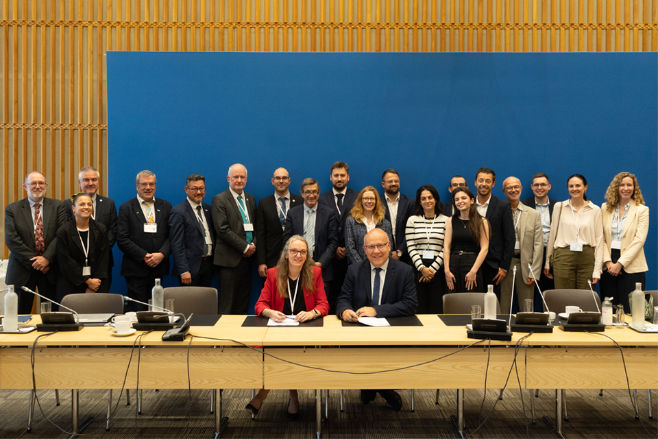
British and French geological surveys strengthen collaboration through new agreement
14/10/2026
Two of Europe’s leading geological surveys have signed a Memorandum of Understanding to strengthen collaboration on key geoscientific challenges.
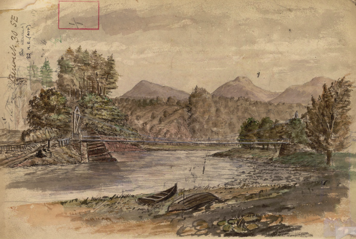
Historic watercolour unearthed on back of Dryburgh geological field map
05/10/2026
A 150-year-old painting of Dryburgh Suspension Bridge and the River Tweed offers an insight into the Scottish Borders landmark shortly after it was built in the 1870s.
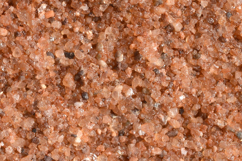
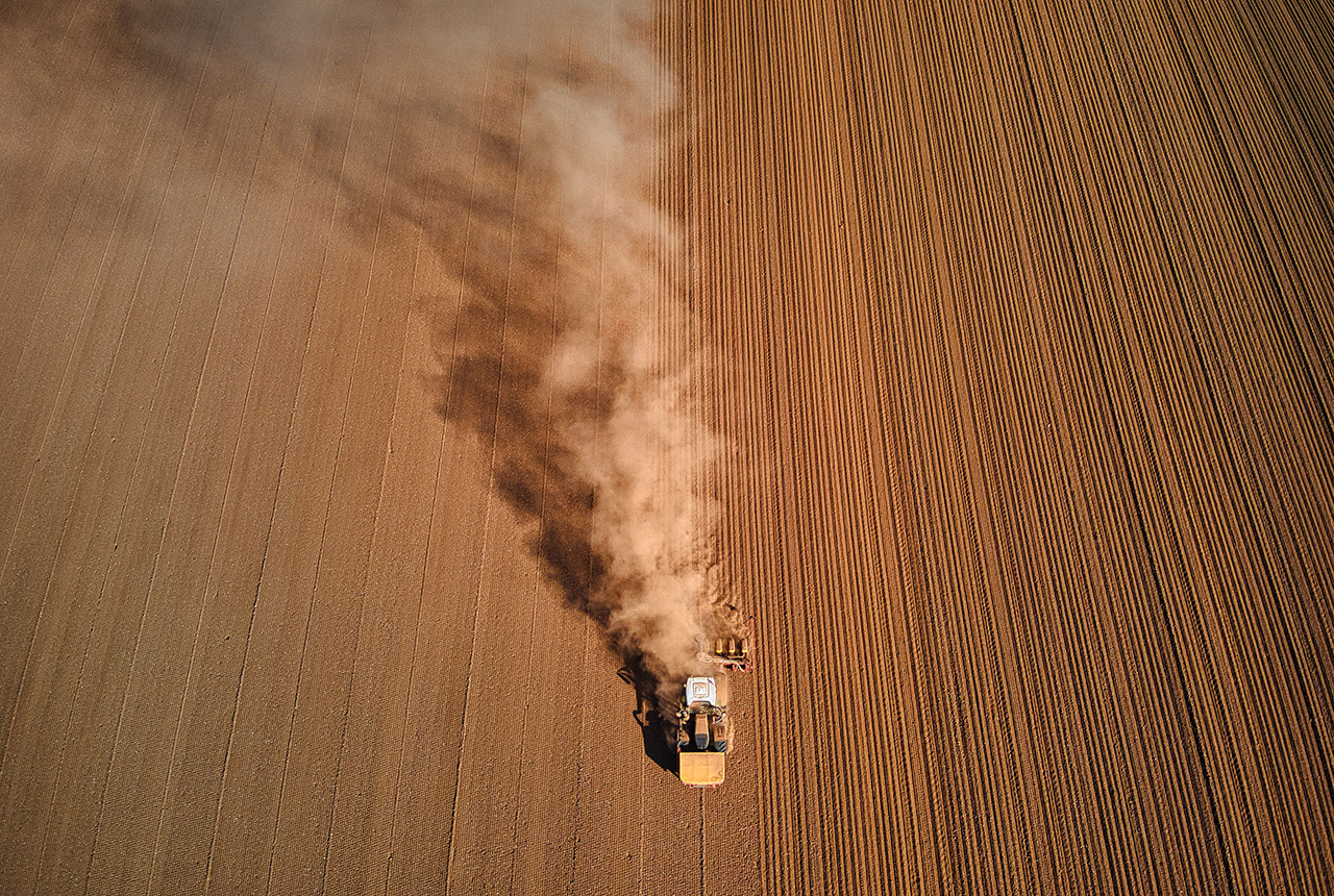
Improving bioaccessibility testing for contaminated soils
15/10/2026
BGS has been trialling a novel bioaccessibility tracing technique to ascertain if it offers more analytical precision over traditional methods of detecting chemicals in contaminated soils.
Explore more news
Browse all news and events by category
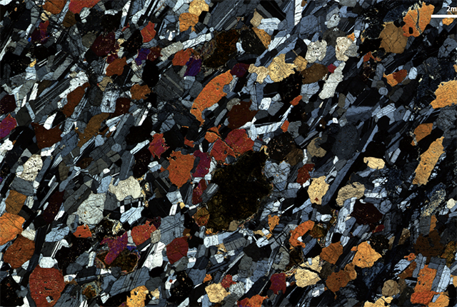
Working at BGS as a postgraduate intern
15/06/2022
Katie Williams, an environmental geochemistry masters student, shares her experience following a work placement in the Stable Isotope Facility.
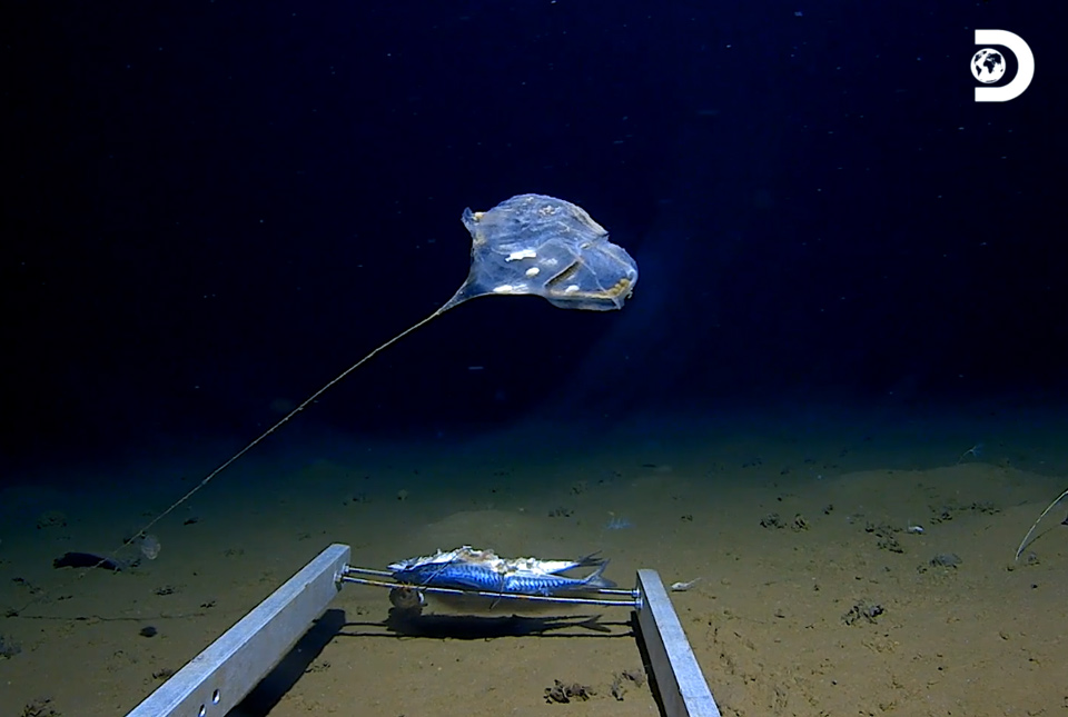
Scientists reveal extraordinary ecosystems in the deepest part of the Indian Ocean
08/06/2022
New technology has enabled marine scientists to capture some of the world’s first images of previously unexplored habitats in the deepest point of the Indian Ocean.
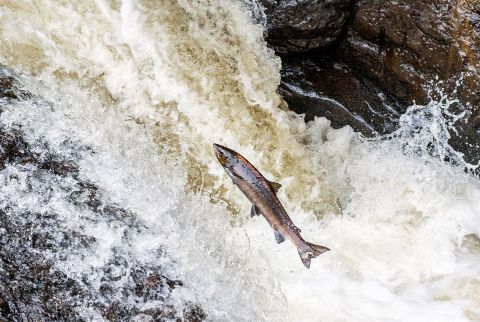
Climate change and human exploitation linked to historic decline in Atlantic salmon
08/06/2022
New research reveals that both a change in climate and human exploitation played a role in a decline in North Atlantic salmon populations.
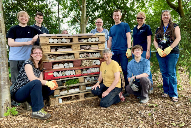
Staff sustainability practices around BGS
01/06/2022
BGS recently made time for employees at our sites around the UK to spend a few hours on projects focusing on increasing sustainability, both in their offices and in the local area.
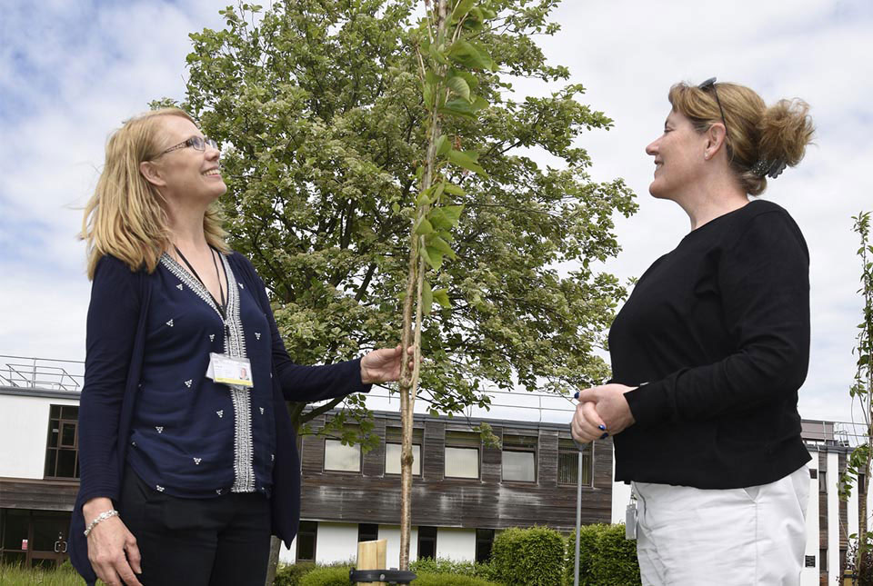
Positively blooming: Japanese flowering cherry trees planted at BGS Keyworth to mark the Queen’s platinum jubilee
31/05/2022
The walkway of eight trees has been planted in the grounds of BGS headquarters in Keyworth to celebrate Queen Elizabeth II's 70 years on the throne.

BGS to join worldwide geoscience community at EGU General Assembly 2022
20/05/2022
The EGU General Assembly 2022 brings together geoscientists from all over the world for one meeting from 23 to 27 May.
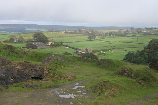
Mining hazard data (not including coal) from BGS
17/05/2022
Great Britain has over 250 000 documented mining sites and the underground voids resulting from past mining activity pose a possible hazard. Knowledge of the distribution of former mining areas will help us to plan for future development and ongoing maintenance.

New publication shows geological supply of bismuth is greater than previously understood
17/05/2022
A new publication highlights the wide-ranging geological availability of bismuth, a critical raw material that has historically been overlooked in academic research.