Latest
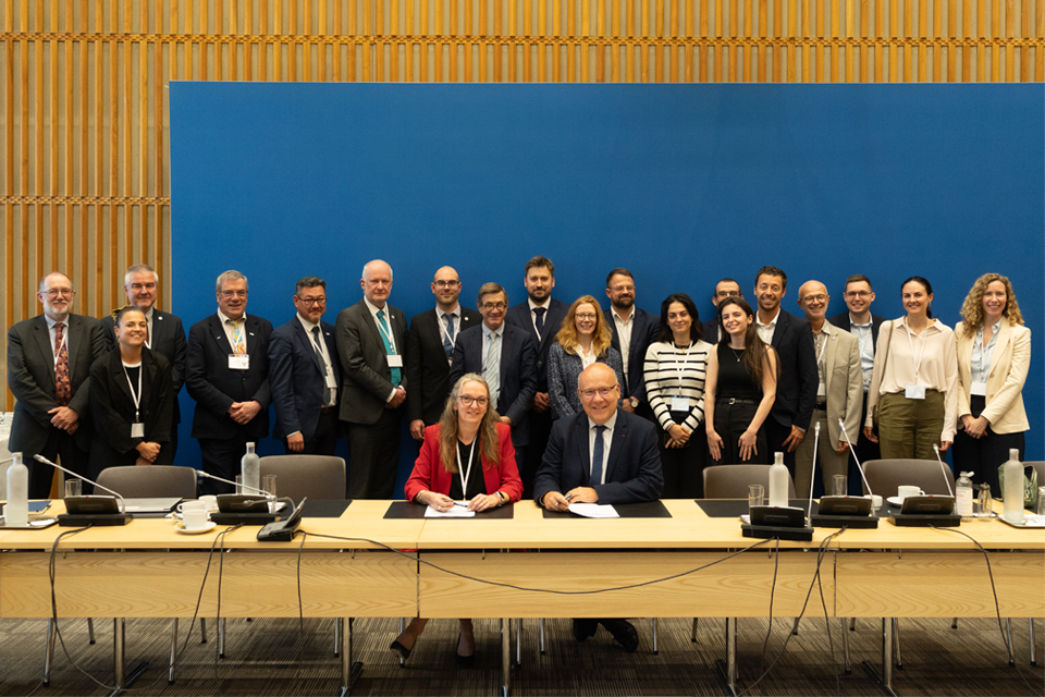
British and French geological surveys strengthen collaboration through new agreement
14/10/2026
Two of Europe’s leading geological surveys have signed a Memorandum of Understanding to strengthen collaboration on key geoscientific challenges.
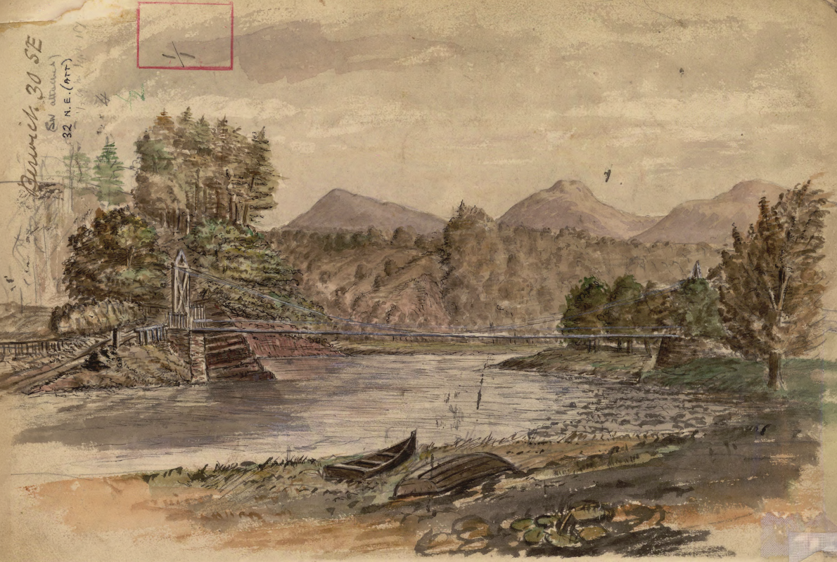
Historic watercolour unearthed on back of Dryburgh geological field map
05/10/2026
A 150-year-old painting of Dryburgh Suspension Bridge and the River Tweed offers an insight into the Scottish Borders landmark shortly after it was built in the 1870s.
Improving bioaccessibility testing for contaminated soils
15/10/2026
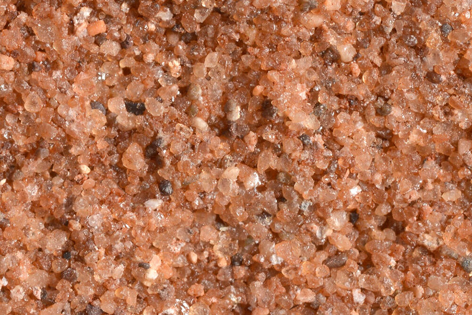
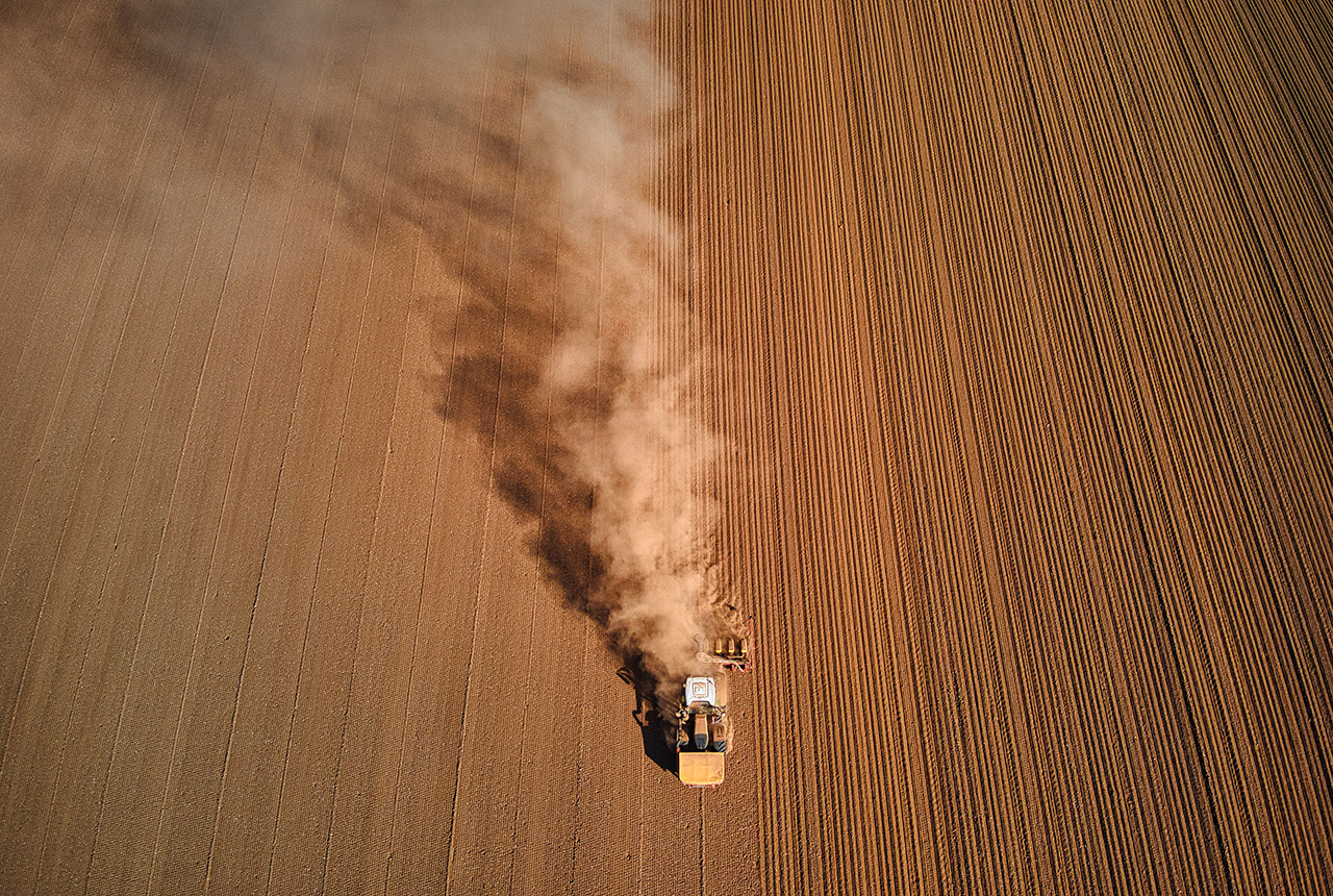
BGS has been trialling a novel bioaccessibility tracing technique to ascertain if it offers more analytical precision over traditional methods of detecting chemicals in contaminated soils.
Explore more news
Browse all news and events by category
EMODnet data ingestion service
02/06/2018
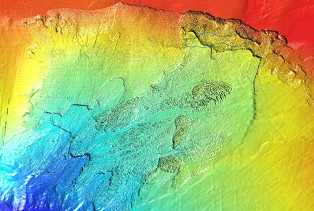
The European Marine Observation and Data Network (EMODnet) consists of more than 160 organisations that together work on assembling, harmonising and making marine data, products and metadata more available.
Mapping a geomagnetic storm with Raspberry Pi magnetometers
02/06/2018
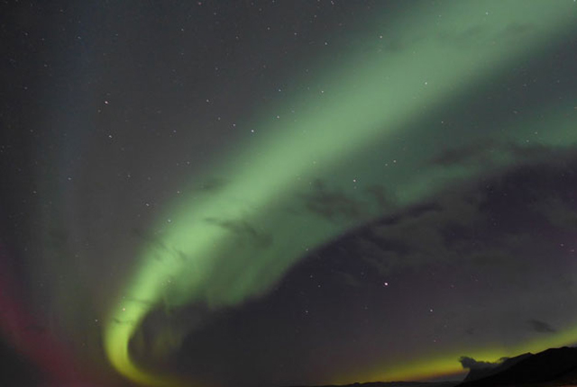
In September 2017, one of the largest geomagnetic storms of the current solar cycle hit the Earth after a coronal mass ejection left the Sun.
Risks from fracking to be studied by top UK research team
02/06/2018
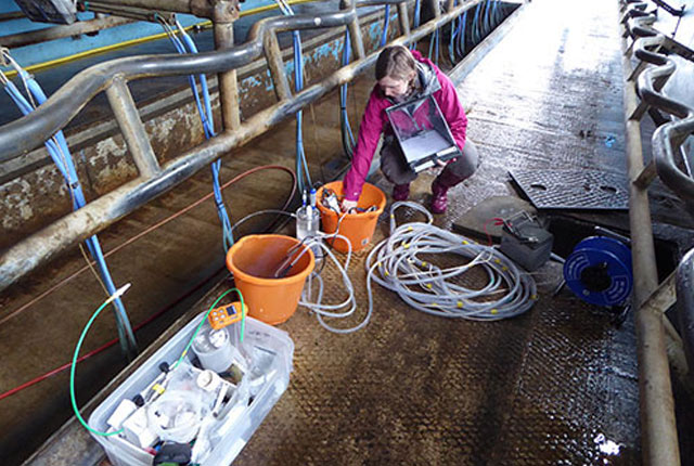
A BGS-led research team is setting out to define the combined environmental and health risks over the whole life cycle of shale gas operations in the UK.

Community water management for a liveable London
02/06/2018
A research consortium including BGS will collaborate with partners and stakeholders within London to address sustainable management of the city's water within the context of required housing growth and the environment.