Latest
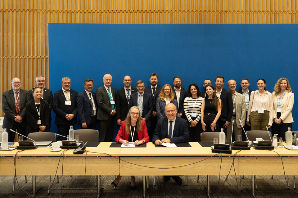
British and French geological surveys strengthen collaboration through new agreement
14/10/2026
Two of Europe’s leading geological surveys have signed a Memorandum of Understanding to strengthen collaboration on key geoscientific challenges.
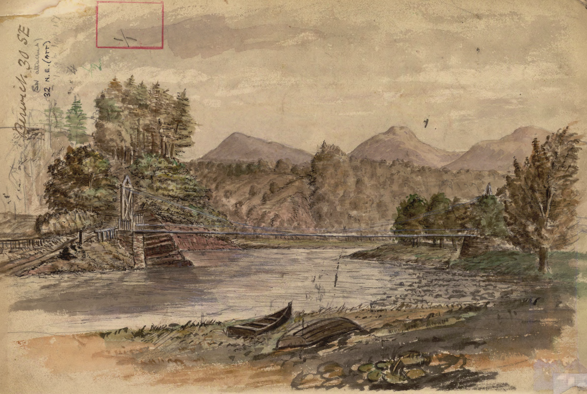
Historic watercolour unearthed on back of Dryburgh geological field map
05/10/2026
A 150-year-old painting of Dryburgh Suspension Bridge and the River Tweed offers an insight into the Scottish Borders landmark shortly after it was built in the 1870s.
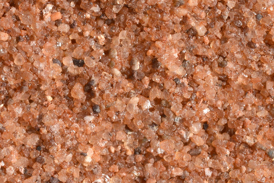
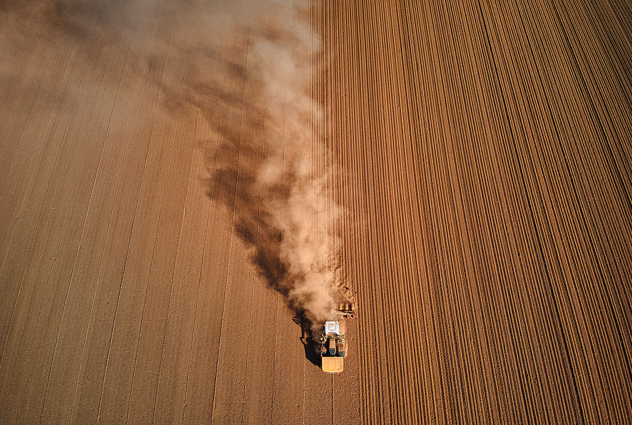
Improving bioaccessibility testing for contaminated soils
15/10/2026
BGS has been trialling a novel bioaccessibility tracing technique to ascertain if it offers more analytical precision over traditional methods of detecting chemicals in contaminated soils.
Explore more news
Browse all news and events by category
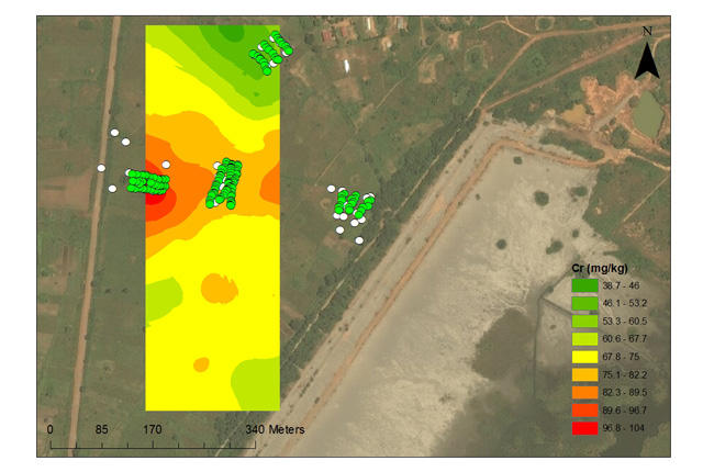
Environmental contamination from mine tailings in Africa
02/06/2017
BGS scientists helped with experimental trials to investigate the influence of soil management strategies, on metal uptake of soils.
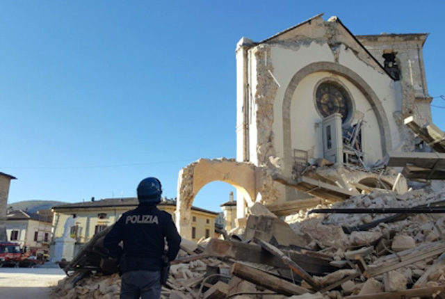
Deploying and servicing a seismic network in Central Italy
02/06/2017
BGS seismologists are using the seismicity that is hitting Central Italy to analyse the triggering and evolution of an earthquake sequence.
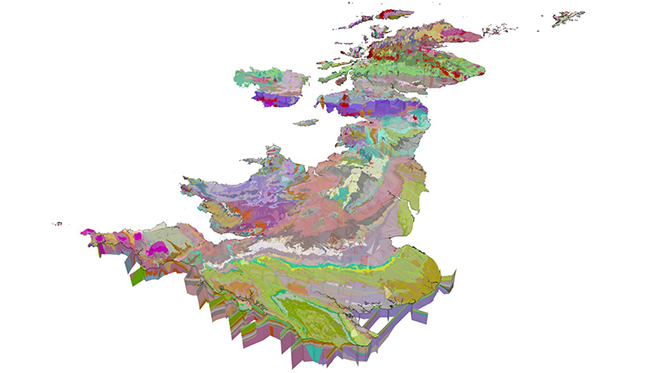
GeoSciML data standard becomes official
15/03/2017
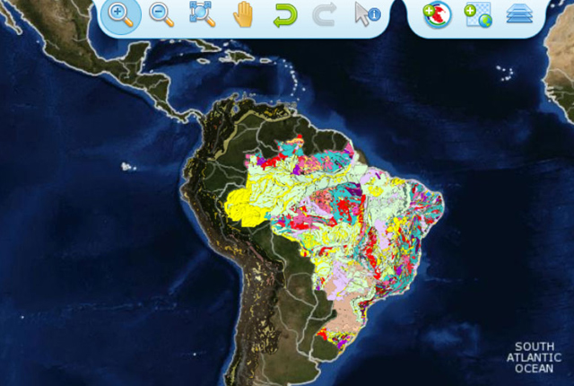
The OGC GeoSciML Standard defines a model and the encoding for geological features commonly described and portrayed in geological maps, cross sections, geological reports and databases.