

Historic watercolour unearthed on back of Dryburgh geological field map
A 150-year-old painting of Dryburgh Suspension Bridge and the River Tweed offers an insight into the Scottish Borders landmark shortly after it was built in the 1870s.
05/10/2026 By BGS Press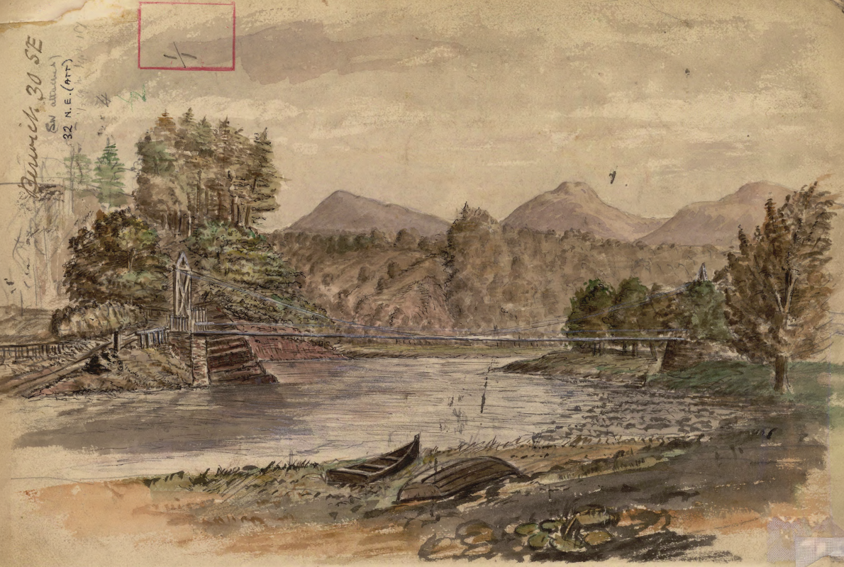

A BGS geologist has discovered a Victorian watercolour of the River Tweed on the reverse side of a geological field map. It had remained unnoticed in the BGS archives for more than 150 years. The newly uncovered artwork offers a snapshot of the iconic crossing, believed to be from just a year after it opened. It provides a unique record of the Victorian landscape around Dryburgh in the Scottish Borders.
The artwork was found by a building stones specialist who was looking through early field slips to gather more information on the area. It was quickly established that the painting depicts Dryburgh Suspension Bridge, which was completed in 1872. Following some further research, the watercolour is believed to have been painted around 1873 by Benjamin Neeve Peach, who was a geologist at the Geological Survey of Great Britain and Ireland (now known as BGS) at the time and was known to be conducting fieldwork in the region around 1873. Peach was also well regarded as an accomplished artist; other examples of his work are held in the BGS archive and available on GeoScenic, BGS’s public online geological photograph database.

Field slips have always been a vital tool for geologists since the inception of the survey in the 19th century, as a way of recording important observations, measurements and notes whilst out in the field. It was not unusual for geologists, who are often out in the field for weeks at a time, to sketch the landscapes that have been shaped by the underlying geology. In this example, Peach is showing how the tough volcanic rocks of the Eildon Hills dominate the landscape around Dryburgh.
Our extensive data holdings are still very relevant today and they do occasionally throw up a welcome surprise when accessing them as part of modern research. In this case, we knew almost instantly we had stumbled across a Ben Peach artwork, given his signature style and prolificacy.
Daniel Burgess, BGS Geological Data Steward.
Peach worked at BGS from 1862 until his retirement in 1905. Alongside his geological work, he produced hundreds of sketches and paintings during his field surveys, documenting landscapes and everyday scenes across Scotland in his field notebooks and on the backs of his field maps.
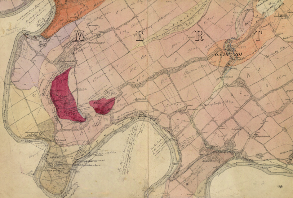
The front of the Dryburgh field slip used by Benjamin Peach when surveying the area in the 1870s. BGS © UKRI.
Peach played a pivotal role in resolving the famous ‘Highlands Controversy’, one of the most significant geological debates of the nineteenth century. In 1883, Peach and his colleague John Horne were sent to the north-west Highlands of Scotland by Archibald Geikie, then the director-general of the Geological Survey, to investigate conflicting interpretations of the region’s structure. Peach and Horne demonstrated that neither of the two interpretations proposed at the time were correct, overturning contemporary ideas about the geological structure of the area. The discovery is regarded as one of the most important advances in British structural geology and was a critical part of the development of modern ideas about tectonics and mountain building.
The geological field map is now stored in the BGS Archives, alongside approximately 40 000 other items, which include administrative records and the papers of BGS staff.
More information on Benjamin Peach can be found on BGS Earthwise.
Relative topics
Related news
New geological mapping underway to help manage flooding along the River Tweed
08/07/2026
Scientists are surveying the Tweed catchment for the first time in over 100 years to enhance understanding of localised groundwater and improve flood forecasting.
Scientists make new discovery in the history of the Giant’s Causeway
15/06/2026
New research is changing our scientific understanding of the formation of one of the UK’s most iconic landmarks and has revealed that Northern Ireland’s volcanic past occurred over a much shorter period than previously thought.
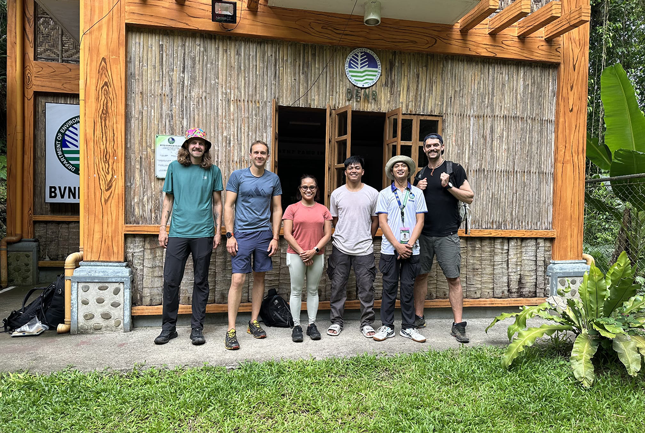
PhD adventures in the Philippines: coring around Lake Bulusan
05/09/2025
Chris Bengt recounts his two-week field trip to Bulusan Volcano Natural Park in the Philippines to collect lake sediment cores, fresh soil and water samples.
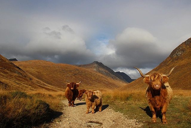
Isle of Arran announced as UNESCO Global Geopark
17/04/2025
The Isle of Arran has officially been named as the tenth UNESCO Global Geopark in the UK.
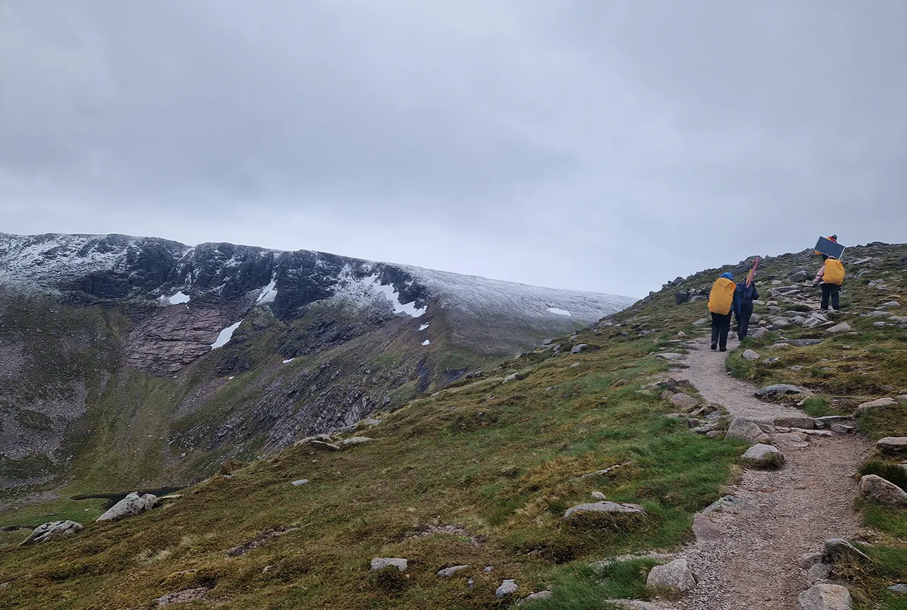
Exploring Scotland’s hidden energy potential with geology and geophysics: fieldwork in the Cairngorms
31/03/2025
BUFI student Innes Campbell discusses his research on Scotland’s radiothermal granites and how a fieldtrip with BGS helped further explore the subject.
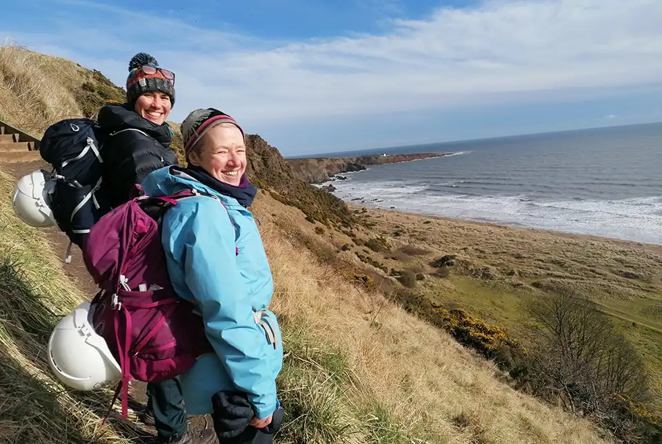
BGS to update geological maps of Strathmore
10/06/2024
A three-year project has begun to revise geological maps of Strathmore, which were last surveyed nearly 100 years ago.
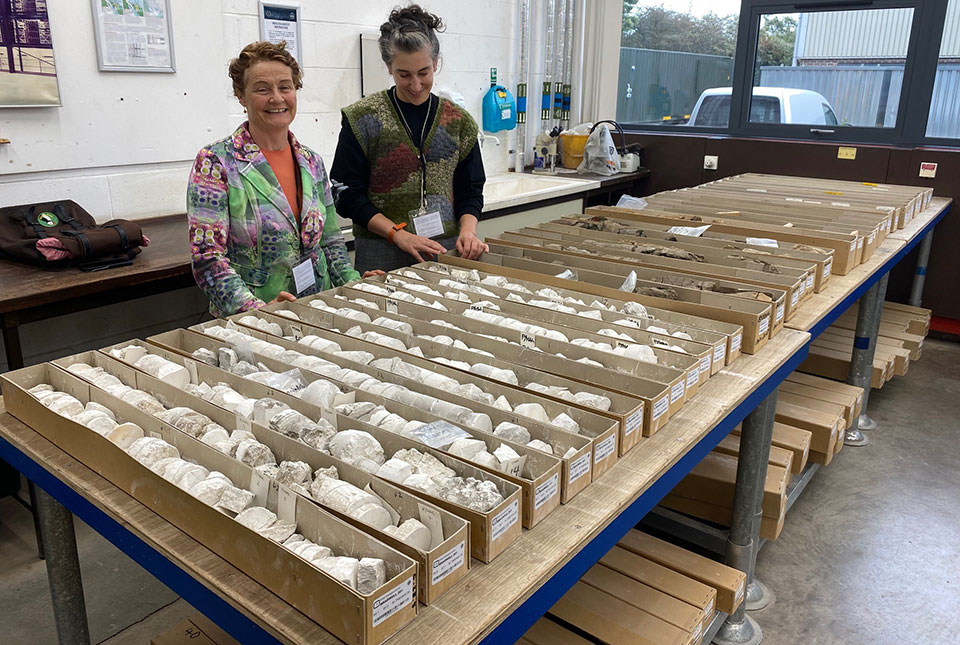
The art of boreholes: Essex artists visit the BGS to be inspired by our library of geological core
02/11/2023
Two UK-based artists visitors aim to turn art and earth science into a collaborative experience that facilitates discussion on land usage.
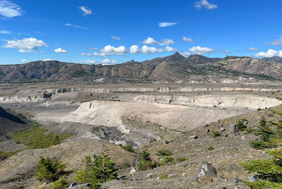
In photos: a volcanic field trip
31/08/2023
Volcanologist Samantha Engwell visited the Cascades in the United States to learn more about the 1980 Mount St Helens volcanic eruption.
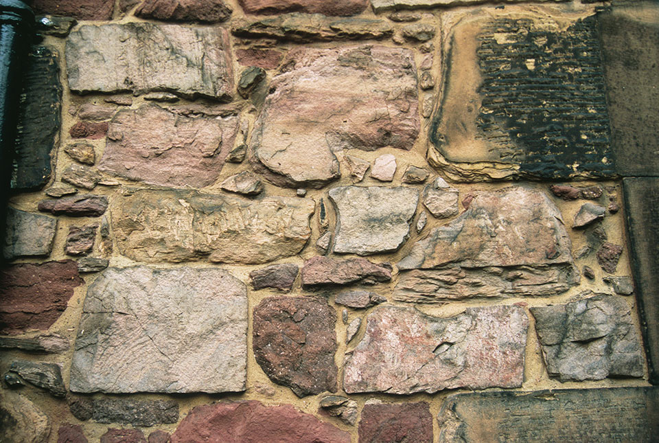
Scotland’s building stones: over one thousand images now available online
06/07/2023
New images of the BGS Building Stone Collection have been published.
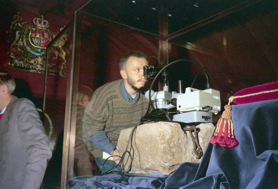
The Stone of Destiny
03/05/2023
The origins of the Stone of Scone: where it came from, why BGS has crumbs of it in its collections and the little-known fact that it is upside down.
Notes from an applied glacial geology field course in Norfolk
28/10/2022
Marine geoscientist Catriona MacDonald and urban geologist Raushan Arnhardt share their experiences from a recent trip to north Norfolk to learn more about glacial geology.
Geology and cycling: the rocks behind the race
08/09/2022
The UK’s biggest and most prestigious bike race would not be what it is today, without a nod to the humble rock.