Notes from an applied glacial geology field course in Norfolk
Marine geoscientist Catriona MacDonald and urban geologist Raushan Arnhardt share their experiences from a recent trip to north Norfolk to learn more about glacial geology.
28/10/2022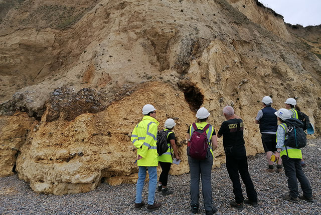
In early September 2022, eight geologists from different disciplines across BGS completed the applied glacial geology field-based training course in north Norfolk, led by BGS’s Emrys Phillips and Jonathan Lee. The course benefits geoscientists working on applied projects where glacial geology will affect ground conditions and properties of the shallow subsurface, such as offshore windfarms.
During the course we visited Sheringham, West and East Runton, Happisburgh and Weybourne. We were able to develop skills to describe and interpret glacial sediments and deformed materials, and their influence on ground conditions both on and offshore.
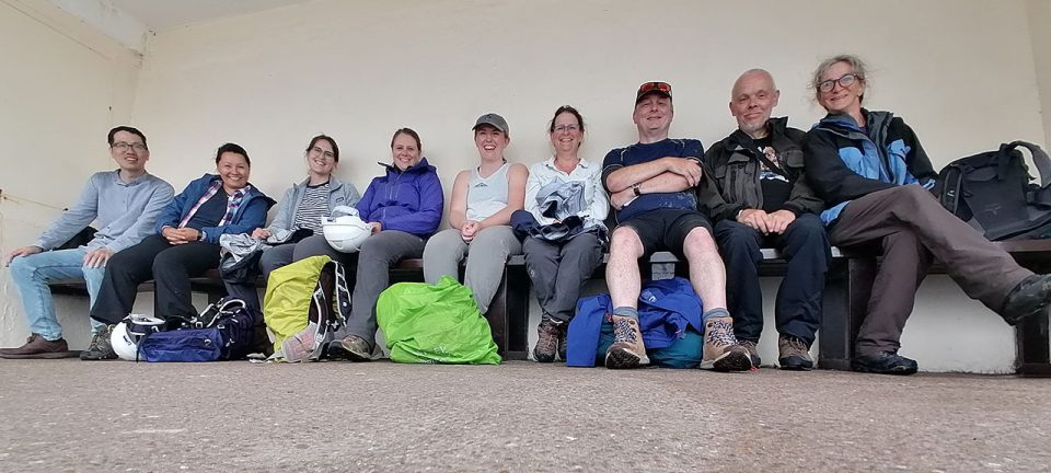
The BGS Applied Glacial Geology field team from left to right: geophysicist Xiaoyang Wu, urban geoscientist Raushan Arnhardt, survey geologist Laura Burrel, survey geologist Rowan Vernon, marine geoscientist Catriona Macdonald, survey geologist Rhian Kendall, national geoscience project leader and Quaternary research scientist Jon Lee, Senior Quaternary research scientist Emrys Phillips and survey geologist Sarah Arkley. Sarah Arkley, BGS © UKRI.
Day 1: Happisburgh and Weybourne
On the first training day, we drove to Happisburgh. We were lucky with the weather not only on the first day but also throughout the field course. With a beautiful sea view, Emrys and Jon introduced us to the topic of glacial geology and explained the history of coastal erosion at the site. At Happisburgh, we examined several cliff sections through the Happisburgh Till Member, the Ostend Clay Member and the Happisburgh Sand Member.
In the afternoon we drove up the coast to Weybourne, where we encountered the Wroxham Crag Member, which overlies Chalk Group bedrock. The shallow marine sands and gravels of the Wroxham Crag directly overlie a brecciated chalk unit, which exhibits evidence of periglacial features such as frost heave, soft-sediment deformation and hydrofracturing.
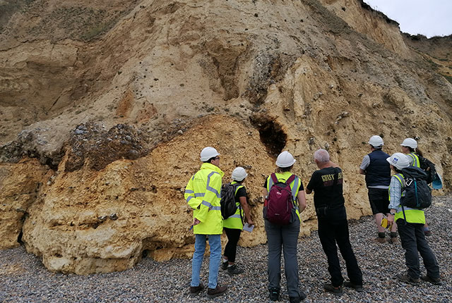
Looking at the structures within the periglacially altered Wroxham Crag Member and Chalk Group exposed at Weybourne. Catriona Macdonald and Sarah Arkley, BGS © UKRI.
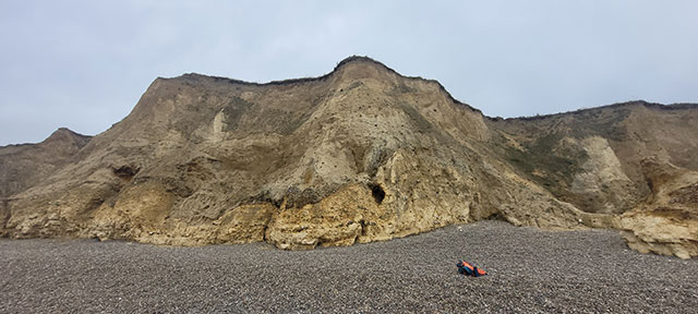
The periglacially altered Wroxham Crag Member and Chalk Group exposed at Weybourne. Catriona Macdonald and Sarah Arkley, BGS © UKRI.
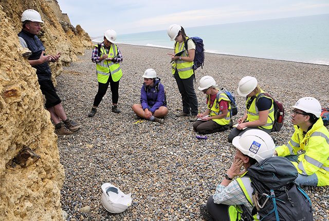
Discussing the finer details of the periglacial alteration of the chalk at Weybourne. Emrys Phillips, BGS © UKRI.
Day 2: East Runton and the West Runton Mammoth
On Day 2, we visited East Runton, where we learned more about glacitectonic chalk rafts (massive blocks of glacially displaced chalk bedrock), their direction of emplacement and the development of ice-marginal sand basins. We also examined the preglacial deposits that are exposed to the east of West Runton, including the Wroxham Crag Formation (shallow marine) and the West Runton Freshwater Bed, which is an organic deposit. Since the 19th century, the latter has become well-renowned with amateur and professional fossil collectors, because it yields both floral and faunal fossil remains and provides much information on the climate and environment during a preglacial interglacial period. The remains of the world-famous West Runton Mammoth were also discovered at the site in the early 1990s.
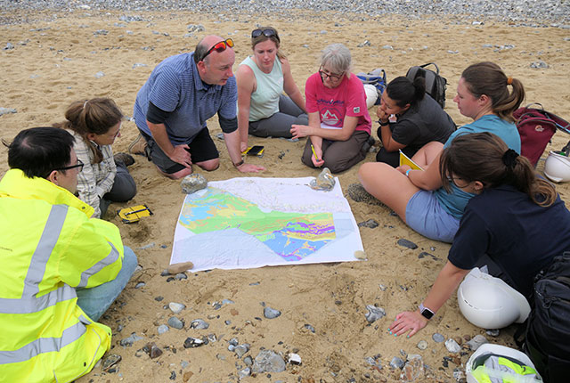
Comparing what can be seen in the sea cliffs at East Runton with the geology exposed on the seabed just offshore. Emrys Phillips, BGS © UKRI.
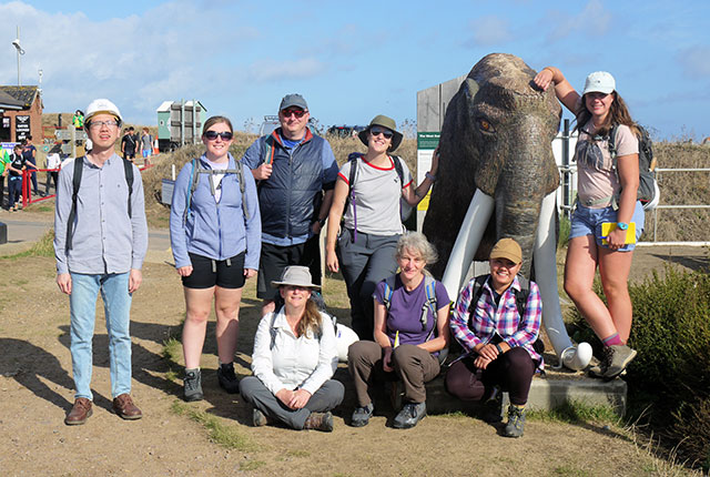
The team at West Runton. Back row, left to right: Xiaoyang Wu; Catriona Macdonald; Jon Lee; Laura Burrel; Mammoth; Rowan Vernon. Front row: Rhian Kendall; Sarah Arkley; Raushan Arnhardt. Emrys Phillips, BGS © UKRI.
Day 3: West Runton
On the third day, we visited the coastal section to the west of West Runton, where we continued to learn about chalk raft emplacement and preglacial and glacial stratigraphy and started to think about how glaciers interact with sediments beneath and in front of them. Cliff sections at West Runton record the transition from proglacial through ice-marginal to subglacial environments, which produces distinctive styles of sedimentation and deformation. We also compared the resultant glacitectonic mélange and structure to interpreted seismic cross-sections from the Dogger Bank area of the North Sea, which shows similar features offshore.
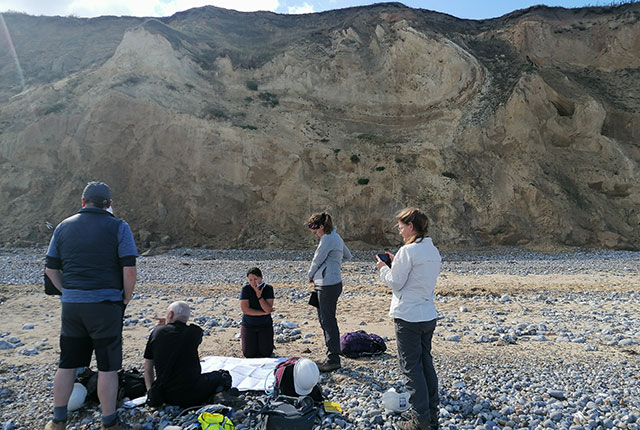
Examining the large fold structures that deform the glacial sediments exposed at West Runton. Sarah Arkley, BGS © UKRI.
Day 4: Sheringham and Skelding Hill
Our fourth and final day started off dry and bright as we started with an ascent of Skelding Hill, which offers a stunning panoramic viewpoint of the coastline between Cromer and Weybourne. From our vantage point, we were able to get a better view of the geomorphology of the area, helping us piece together the broader glacial history.
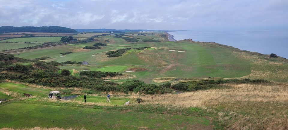
The glacial geomorphology that can be seen from the top of Skelding Hill. Catriona MacDonald and Sarah Arkley, BGS © UKRI.
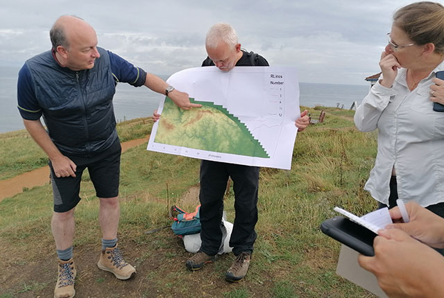
Jon explains the glacial geomorphology that can be seen from the top of Skelding Hill. Catriona Maca\zAdonald and Sarah Arkley, BGS © UKRI.
We then walked down the hill to the beach, where we found some natural beach analogues in the sand that we were able to relate to the glacial activity, including a miniature braided river system.
We walked along the coast to the see the cliff face directly under the summit of Skelding Hill. Here we split into teams and were set challenges to describe the structural geology, geomorphology and unitisation of the glacial sediments we could see in the cliff face.
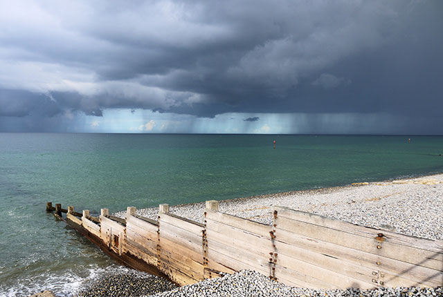
Dodging the rainstorms! Emrys Phillips and Rhian Kendall, BGS © UKRI.
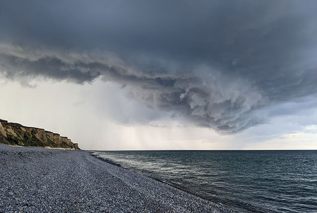
Dodging the rainstorms! Emrys Phillips and Rhian Kendall, BGS © UKRI.
In the afternoon, we had to dodge several very dramatic-looking rainstorms. However, they quickly passed and this meant members of the team could enjoy a quick pasty and cake in one of Sheringham’s local bakeries. At the end of the day, Jon and Emrys provided a summary of the week and presented a geological model for the history and direction of glaciation in north Norfolk. All members of the team thoroughly enjoyed the trip and look forward to applying our new skills going forward!
This course was one of many scientific and technical support activities funded and organised by BGS Learning and Development.
About the authors

Dr Raushan Arnhardt
Urban geoscientist
Catriona Macdonald
Marine geoscientist


