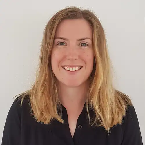
Catriona is a marine geoscientist who specialises in the geological mapping of the seabed and shallow subsurface. She primarily works on projects to map the geomorphology and shallow geology of the UKCS, as well as marine site characterisation and engineering geology projects for the offshore renewables and subsea cables sectors. She regularly applies her expertise in undertaking geological and geohazard assessments, processing and interpretation of geophysical and geotechnical datasets, geological mapping, integrated ground modelling, and soil-structure interaction studies. Prior to joining BGS, she worked for a marine engineering geoscience company completing cable route engineering and cable burial risk assessments, and geohazard and foundation screening assessments for the offshore renewable industry.
Catrina Macdonald’s biography
- 2022 to ongoing: Marine Geoscientist, British Geological Survey
- 2019 to 2022: Marine Engineering Geoscientist, Ternan Energy
- 2017 to 2019: Graduate Marine Engineering Geoscientist, Oceaneering
- 2012 to 2017: Master of Geology (MGEOL) University of Aberdeen
Research interests
- Marine geohazards to offshore infrastructure
- Integrated ground modelling
- Geotechnical properties and behaviour of shallow ground conditions
- Geomorphology and shallow geological mapping
Current projects and collaborations
- DPLUS142 Bathymetry, and seafloor habitats within Ascension Island’s nearshore waters – BGS completes first mapping expedition to Ascension Island
- EPSRC EP/W000970/1 – Offshore Cable Burial: How deep is deep enough?
- Marine Data Exchange Geotechnical Data Standardisation project
- Regional geological mapping of the Outer Moray Firth


