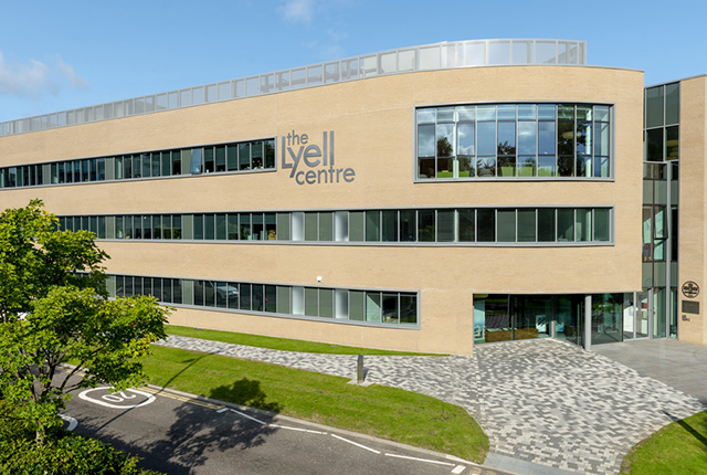

The Lyell Centre. BGS © UKRI
The Lyell Centre is a collaborative venture between BGS and Heriot-Watt University comprising laboratory, office, and collaborative space designed to enable both organisations to build on their individual and combined interdisciplinary expertise in land and marine conservation, geology and geoscience. Funded by the Natural Environment Research Council (NERC), Scottish Funding Council and Heriot-Watt, the Lyell Centre builds on interdisciplinary expertise to encourage an outstanding science culture.
The facility is home to a number of BGS’ specialist research teams, which are listed below.
Our research
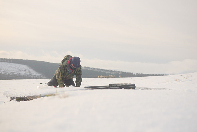
Earthquakes and seismology research
We are measuring, recording and analysing ground motions from earthquakes and other seismic events across the UK and overseas.
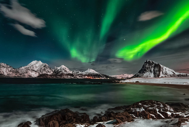
Geomagnetism
Measuring, recording and interpreting variations in the Earth’s magnetic field including those caused by space weather
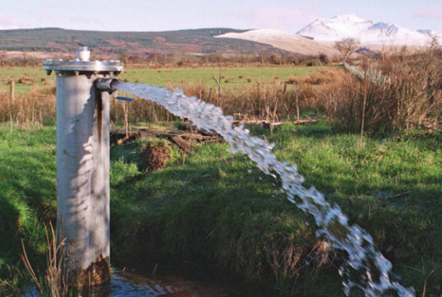
Groundwater research
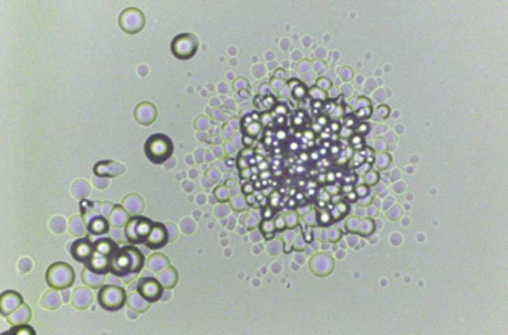
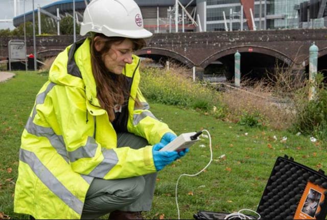
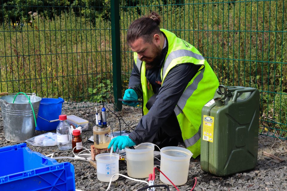
Our research addresses issues related to the sustainability of water resources and quality, impacts of environmental change on the water cycle, natural hazards, and human health.
Geodisposal: radioactive waste
The BGS has provided geological data and interpretations concerning the safe storage and disposal of radioactive waste for nearly 70 years.

Sea floor: marine geoscience
The marine geoscientists at BGS provide independent and expert geological advice, research and data acquisition to anyone working in the marine environment.
UK Geoenergy Observatories
UK Geoenergy Observatories are facilitating a step change in our understanding of geology and our relationship with the underground environment.
Volcanology
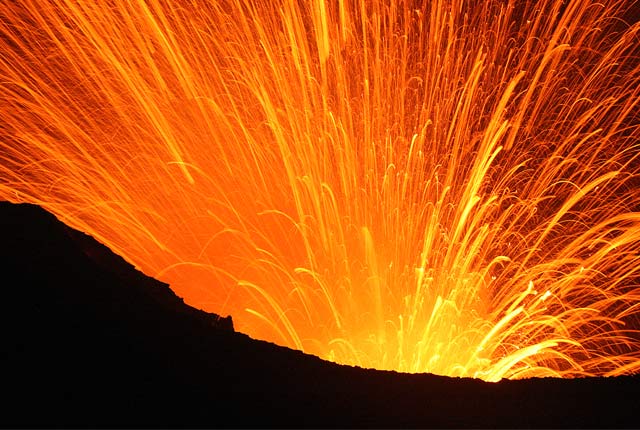
Our scientists lead research projects and work in partnerships around the world to improve our understanding of volcanic processes, hazards and risks.
Critical raw materials
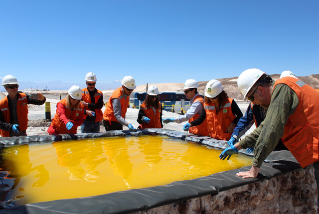
All minerals and metals used in manufacturing, including recycled material, have ultimately been mined from the Earth’s crust.


Latest news
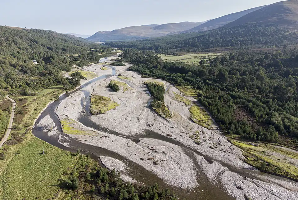
Warnings for Scottish farmers and distillers as new data indicates climate change may double number of droughts
23/07/2024
The agricultural and distilling sectors could face significant challenges after research finds the number of droughts in Scotland may double in the next 25 years.
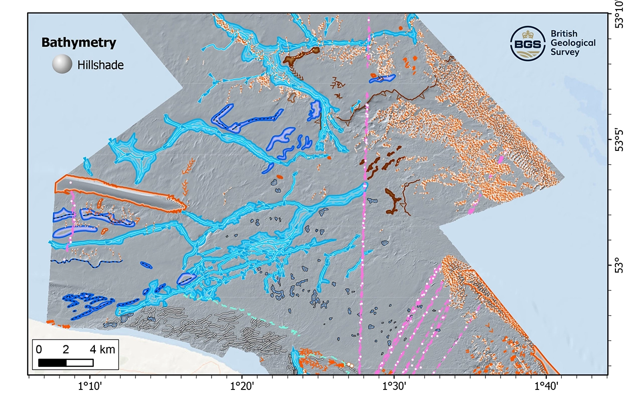
New research reveals the secrets of the seabed off the East Anglian coast
11/07/2024
New geological map will help in the hunt for new renewable energy opportunities whilst protecting delicate marine ecosystems.
BGS to update geological maps of Strathmore
10/06/2024
A three-year project has begun to revise geological maps of Strathmore, which were last surveyed nearly 100 years ago.
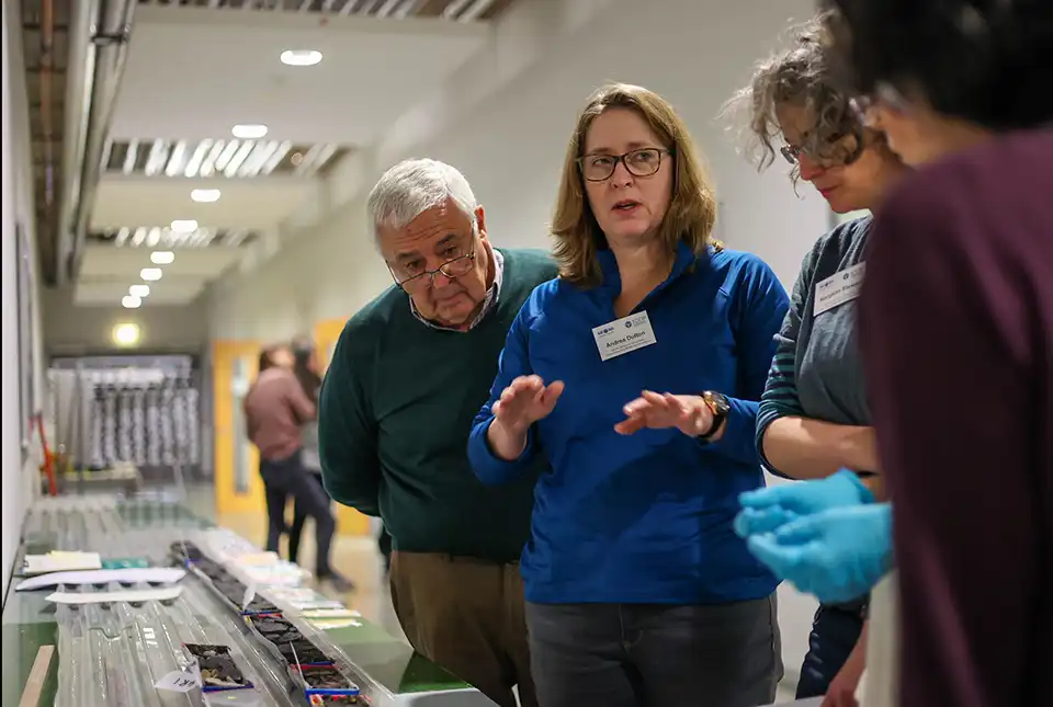
Scientists produce first record of environmental data off coast of Hawai’i
01/03/2024
An international team of researchers, including BGS geoscientists, have succeeded in acquiring a continuous record of environmental data using fossilised coral from Hawai’i.
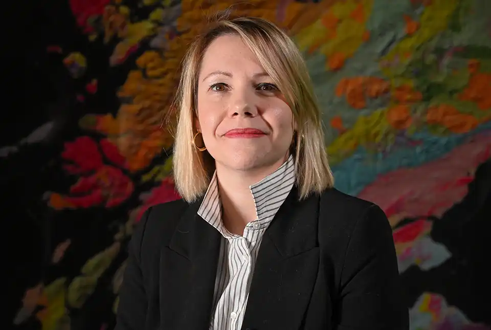
BGS seismologist named editor-in-chief of Geophysical Journal International
29/02/2024
Margarita Segou has been appointed as the editor-in-chief of one of the world’s leading, peer-reviewed research journals in solid-Earth geophysics.
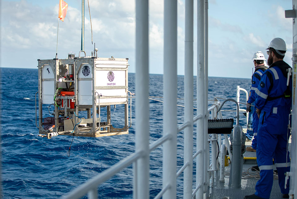
Trans-Pacific Transit 2023: deep-diving ocean partnership sets sail
04/10/2023
BGS has joined a multidisciplinary research expedition to ‘explore the unexplored’ and fill in some of the biggest gaps in our knowledge of the oceans’ darkest depths.
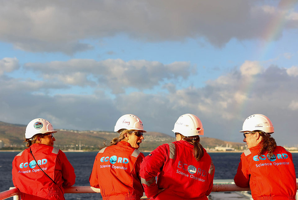
Scientists set sail to investigate high-resolution sea level, climate and coral reef records
25/09/2023
BGS scientists are taking part in an expedition off Hawai’i to investigate sea-level changes recorded by ancient coral reefs.
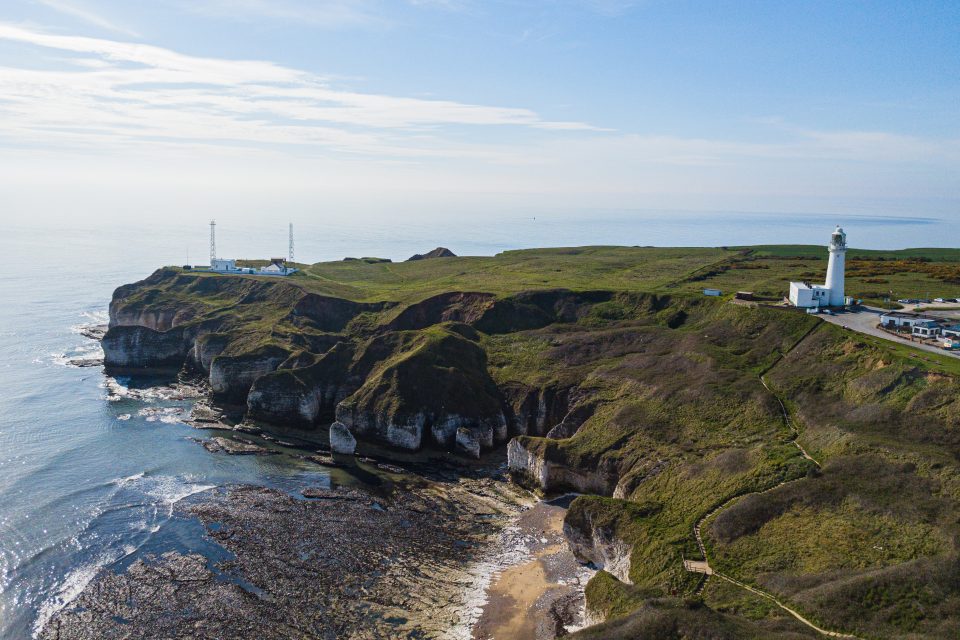
New seabed geology maps for offshore Yorkshire
14/03/2023
Offshore Yorkshire is the latest map to be released in BGS’s series of fine-scale digital seabed maps.
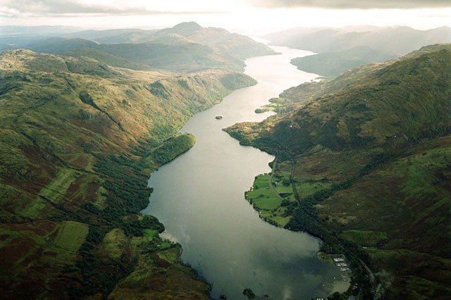
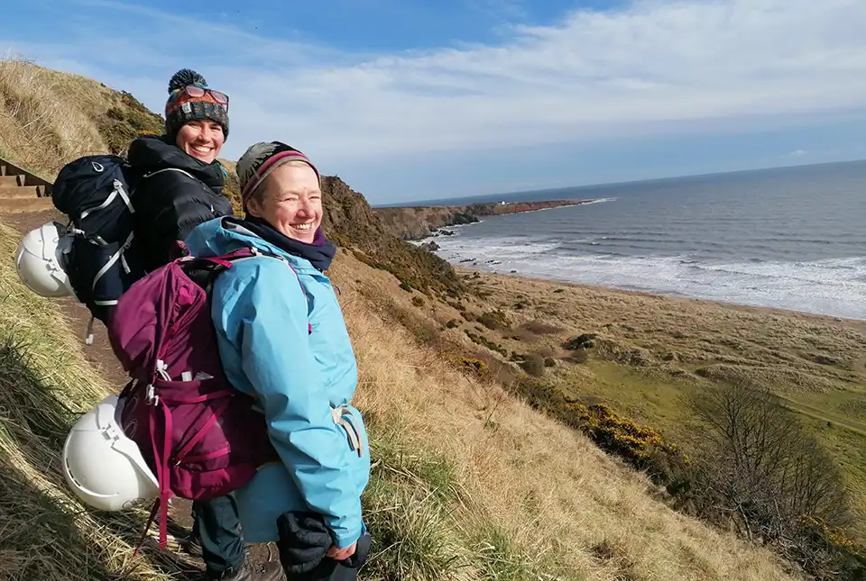
Below the bonnie banks: mapping Loch Lomond’s underwater landslides
07/03/2023
Using high-resolution, multibeam bathymetry and shallow seismic imaging, BGS’s marine geoscience and landslides teams are mapping historic landslides under the waters of Loch Lomond.
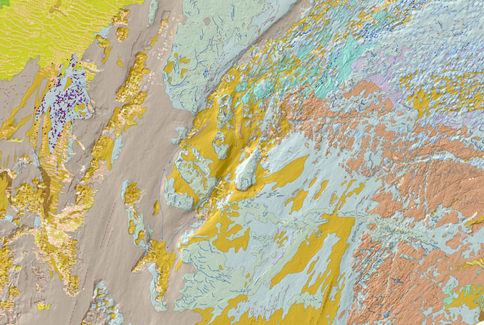
BGS Seabed Geology
The seabed geology map dataset covers regions on the UK’s continental shelf and details the substrate geology, structural geology and seabed geomorphology.
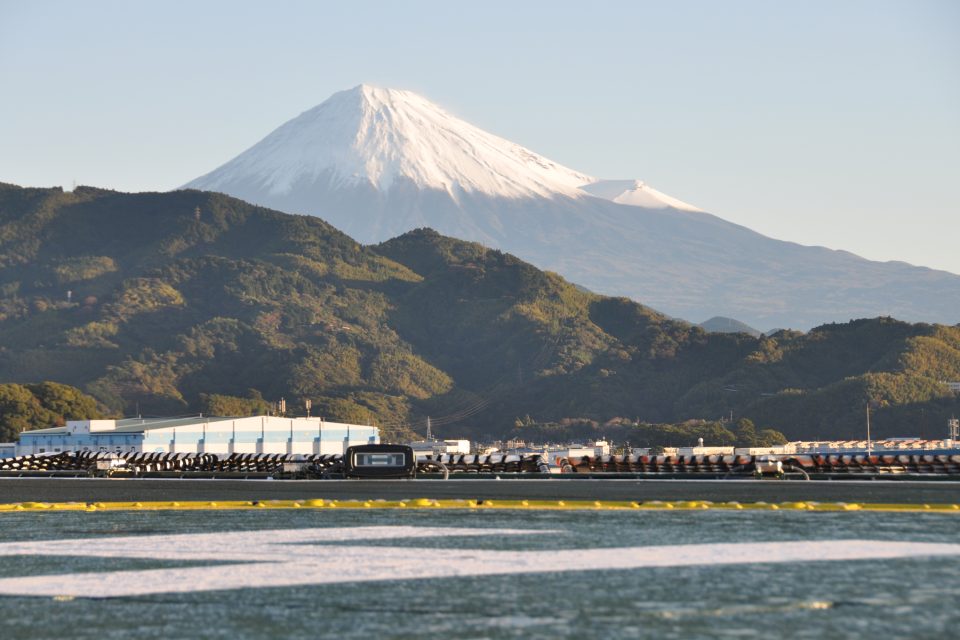
IODP Expedition 386: hosting a sampling party in Japan
19/12/2022
BGS help lead the final phase of IODP Expedition 386 in Japan, coordinating science colleagues from around the globe to extract samples from sediment cores aboard DV Chikyu.
UK Geoenergy Observatories: time zero for net zero
01/12/2022
The BGS-led UK Geoenergy Observatories project is shining a light on the subsurface’s potential to provide geothermal energy.