Scientists produce first record of environmental data off coast of Hawai’i
An international team of researchers, including BGS geoscientists, have succeeded in acquiring a continuous record of environmental data using fossilised coral from Hawai’i.
01/03/2024 By BGS Press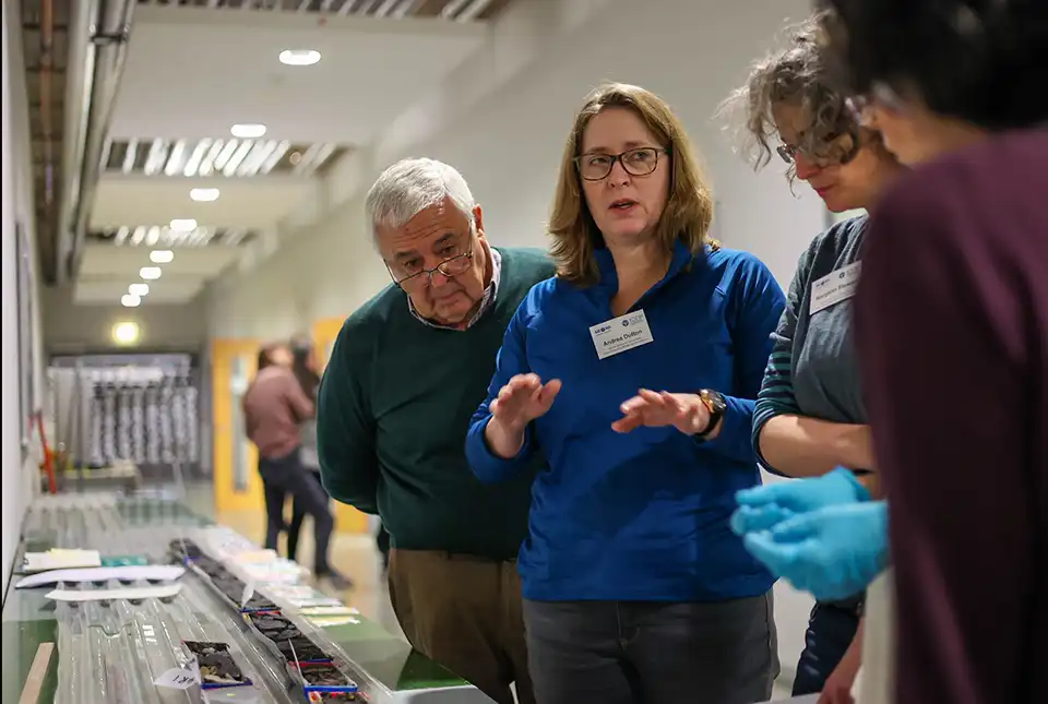

The two-month long International Ocean Discovery Programme (IODP) Expedition 389: Hawai’ian drowned reefs, managed by a team from BGS, aimed to get a better understanding of sea-level changes by recovering samples of fossilised coral reefs. A total of 29 scientists from across the world participated in the expedition, with 10 scientists on board the MMA Valour, which set sail from Honolulu, Hawai’i, on 31 August 2023.
A total of 426 m of core was recovered from below the seabed at water depths from 130 to 1240 m. The core has now been opened, analysed and sampled by the scientific team, following almost a month of intensive work at the University of Bremen during February 2024.
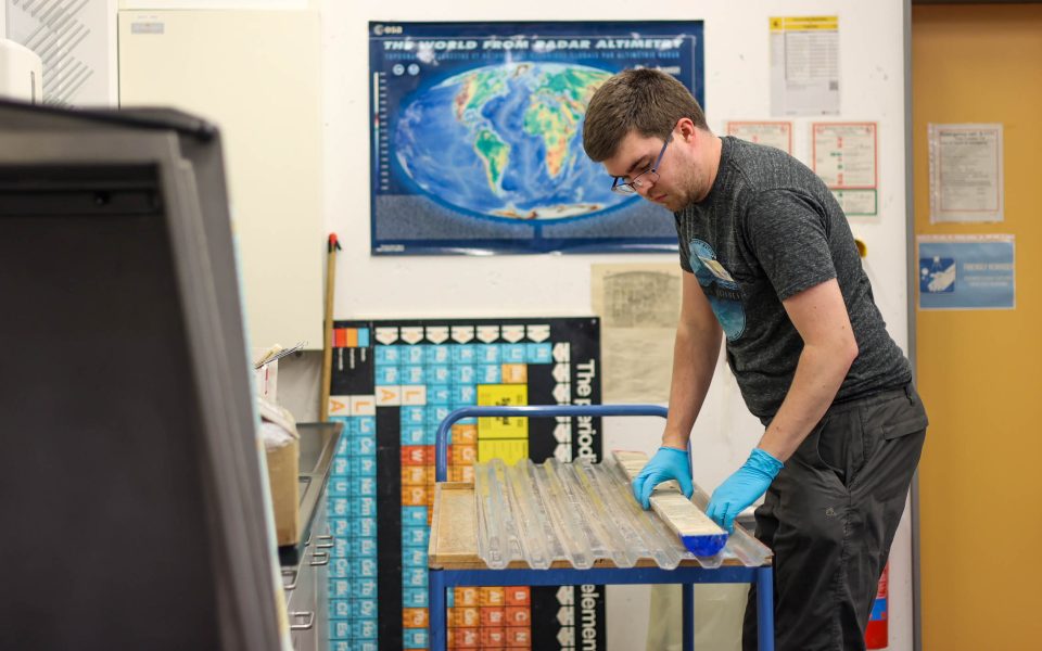
Andrew McIntyre (University of Leicester) loading a core into the high-resolution core imager. Marley Parker @ ECORD/IODP.
The next phase of the research will involve scientists using cutting-edge methods in their laboratories to extract information about sea level and climate change from these tremendously important, high-resolution archives. The ability to look back at Earth’s history will provide valuable insights into the mechanisms that cause climate change, including abrupt events, and the impact of these changes on reef growth and health.

We are extremely proud to have coordinated this expedition with our UK and international partners, and to have successfully recovered high-resolution records of sea level and environmental changes over the last few hundred thousand years. Our team is now supporting the international science party to initially analyse the cores and create foundational datasets to support research on this important topic for many years to come.
David McInroy, BGS Marine Geoscientist.
About the expedition
The expedition is conducted by the European Consortium for Ocean Research Drilling (ECORD) as part of the International Ocean Discovery Program (IODP). IODP is a publicly funded, international marine research programme, supported by 21 countries, which explores Earth’s history and dynamics recorded in seabed sediments and rocks, and monitors sub-seabed environments. Through multiple platforms — a feature unique to IODP — scientists sample the deep biosphere and sub-seabed ocean to study environmental change, processes and effects, and solid-Earth cycles and dynamics.
More information
Relative topics
Related news

New NERC-funded project empowers young people to engage with environmental science
23/07/2026
BGS is part of a new, collaborative project, funded through NERC’s ‘Opening up the environment’ programme, helping the environmental research community become more accessible.

Geo-Explorers – after-school kids’ clubs
Event from 07/09/2026 to 07/12/2026
An after school club for junior geology enthusiasts

Building Europe’s geological future
20/07/2026
BGS scientists are contributing to a continent-wide initiative that is strengthening collaboration across borders to tackle shared subsurface challenges and unlock new opportunities.

Delving deep into mountains for future water security
16/07/2026
A BGS-led project is using new water-tracing investigation methods, geophysics and modelling to understand how water moves from mountains to the lowlands, helping to improve water security for billions of people.

Collecting beach pebbles: fun hobby but is it legal?
14/07/2026
The UK coastline will be inundated with keen holidaymakers this summer, many of whom will take a memento of their trip home in the shape of a pebble or two — but is it legal?

Updated national 3D model will determine the depth to the solid bedrock beneath our feet
13/07/2026
The BGS Superficial Deposit Thickness Model now includes an elevation model of geological rockhead for the first time, providing important data for civil engineers, geoscientists and environmental scientists.

UK’s world-class research organisations launch new collective
10/07/2026
The launch of the National Research Organisations Group brings together more than 100 science leaders to provide an authorativive voice on science, research policy and long-term investment.

Cheshire Geoenergy Observatory releases key geological datasets for UK thermal energy storage scheme design
09/07/2026
A new report and data packs from BGS will provide a unique resource for scientists working on the geology and hydrogeology of the Sherwood Sandstone Formation, an important aquifer and reservoir rock.

New geological mapping underway to help manage flooding along the River Tweed
08/07/2026
Scientists are surveying the Tweed catchment for the first time in over 100 years to enhance understanding of localised groundwater and improve flood forecasting.

Geological research in North Sea helping to safeguard subsea cables
06/07/2026
Subsea power and telecommunications cables are critical to the UK’s energy infrastructure and global connectivity, yet they remain vulnerable to damage from ship anchors, fishing activity and natural hazards.

UK Critical Minerals Intelligence Centre makes recommendations for the next UK criticality assessment
01/07/2026
CMIC has outlined the enhancements made to the next assessment update to ensure it is better tailored to the structure of the UK economy.

From archive to discovery: historical mineral reports support gold exploration in Scotland
25/06/2026
Digitised geological records show potential to unlock untapped mineral resources in Ardlochan, Argyllshire.