Mae Arolwg Daearegol Prydain (BGS) yng Nghymru yn darparu ymchwil a data ar geowyddoniaeth sy’n broffesiynol, diduedd, technegol a gwyddonol ac sy’n cefnogi ein rhanddeiliaid a’r gymuned yng Nghymru. Rydyn ni’n helpu amrywiol randdeiliaid i ddeall heriau a chyfleoedd geowyddoniaeth yn lleol. Rydyn ni hefyd yn cynnig atebion priodol i bobl Cymru.
Ymhlith ein rhanddeiliaid mae:
- y byd academaidd
- llywodraethau canolog a lleol
- sefydliadau cymunedol
- y cyhoedd yn gyffredinol
- diwydiant
- rheoleiddwyr
- sefydliadau anllywodraethol (NGO)
- ysgolion
Mae BGS yng Nghymru wedi’i leoli yn y Prif Adeilad, Prifysgol Caerdydd, lle mae hefyd yn cynnal gwasanaeth ymholiadau, siop fach a gofod swyddfa. Mae staff yng Nghymru yn cyfrannu at nifer o dimau ymchwil arbenigol.
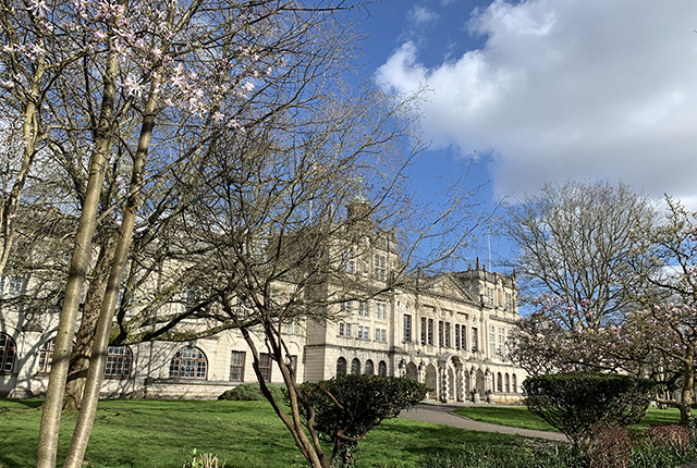
Y Prif Adeilad ym Mhrifysgol Caerdydd, lle mae swyddfa Arolwg Daearegol Prydain yng Nghymru. © Rhian Kendall.
Main Building at Cardiff University, where the BGS Wales office is located. © Rhian Kendall.
BGS in Wales provides professional, impartial, technical and scientific geoscience research and data supporting our Welsh stakeholders and community. We help various stakeholders understand local geoscience challenges and opportunities, and we provide appropriate solutions for the people of Wales.
Our stakeholders include:
- academia
- central and local governments
- community organisations
- general public
- industry
- regulators
- non-governmental organisations (NGOs)
- schools
BGS in Wales is based at Main Building, Cardiff University, where it also maintains an enquiry service, a small shop and office space. Staff based in Wales contribute to a number of specialist research teams.
Dysgwch fwy am ein hymchwil — Find out more about our research
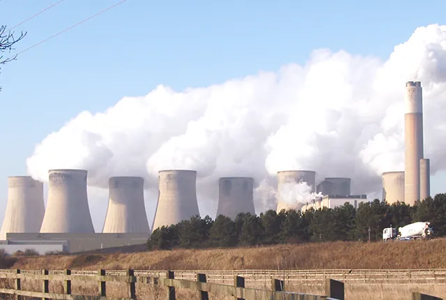
Carbon capture and storage
Studying carbon dioxide storage as a recognised European centre of excellence in a number of research areas.
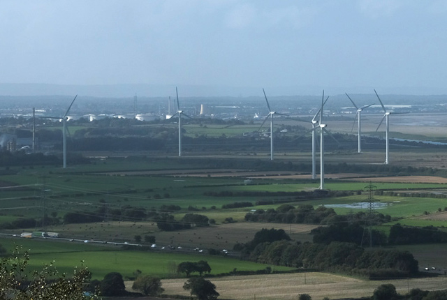
Decarbonisation and resource management
Decarbonisation of power production, heat, transport and industry is a major challenge and one that intrinsically involves geoscience.

Geomagnetism
Measuring, recording and interpreting variations in the Earth’s magnetic field including those caused by space weather
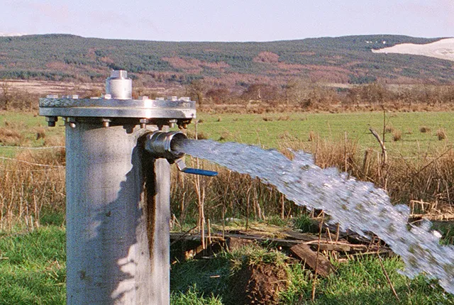
Groundwater research
Addressing issues related to the sustainability of water resources and quality, and the effects of environmental change on the water cycle, natural hazards, and human health.
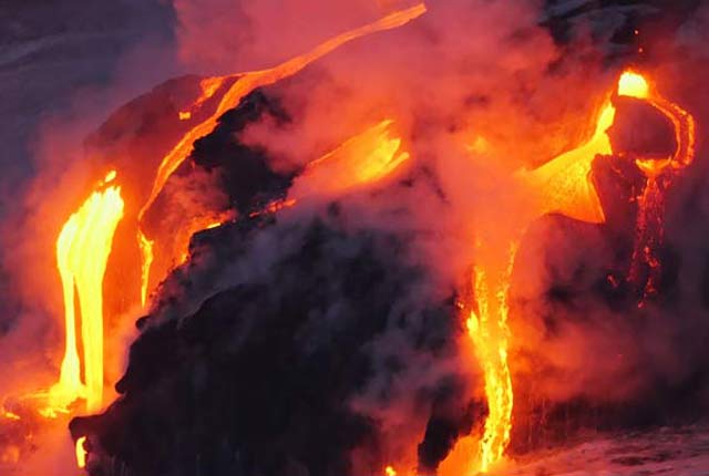
Multi-hazards and resilience
We work with partners worldwide to enhance understanding of hazards, vulnerability, exposure and risk to ensure our science is useful, usable and used.
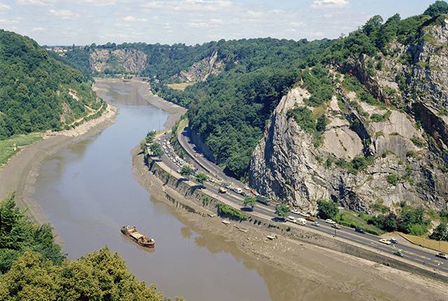
National geoscience
The National Geoscience programme is a forward-looking investment in UK geology that provides relevant, coherent and enriched geoscience knowledge for our stakeholders.
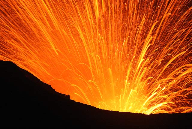
Volcanology
Our scientists lead research projects and work in partnerships around the world to improve our understanding of volcanic processes, hazards and risks.
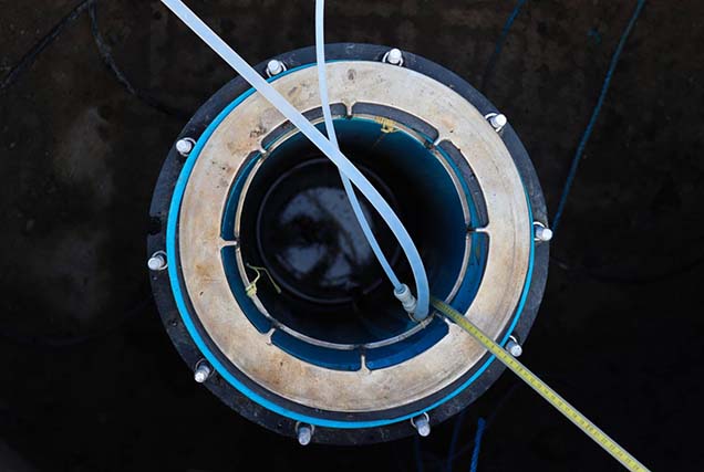
UK Geoenergy Observatories
Facilitating a step change in our understanding of geology and our relationship with the underground environment.
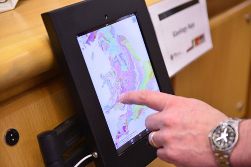
GeoReports
Unique sources of published and unpublished geological data, combined with expert advice from BGS scientists.
Newyddion diweddaraf — Latest news
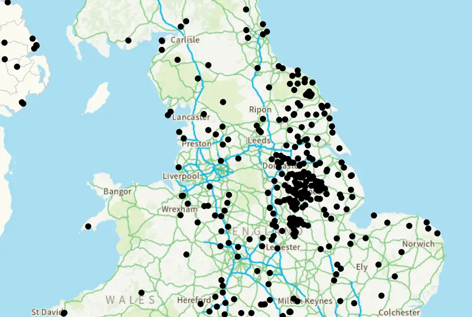
UK legacy geothermal catalogue released in digital format for the first time
18/04/2024
BGS has released the first digital version of the UK legacy geothermal catalogue of subsurface temperature measurements, rock thermal conductivity measurements and heat flow calculations.
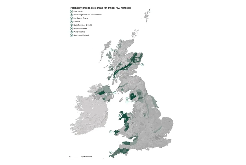
Report identifies areas of the UK prospective for critical raw materials
17/04/2023
Areas from the Highlands to south-west England have the right geology to be prospective for several critical raw materials such as lithium and graphite, according to a new report.
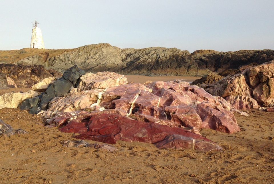
Parts of UK listed among world’s most important geological sites
25/10/2022
Parts of Wales, Scotland and Northern Ireland have been named among 100 of the world’s most important geological sites by UNESCO and international scientists.

New geological map of offshore Anglesey released
10/10/2022
BGS has released a new fine-scale digital map featuring the seabed geology of offshore Anglesey (Ynys Môn).
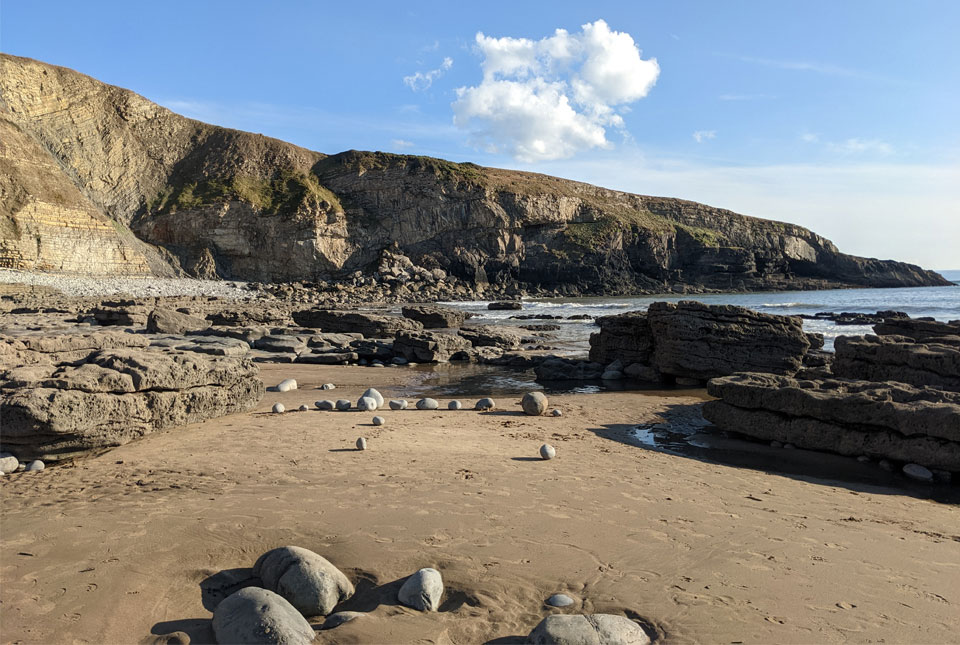
New seabed maps offer a window into the distant past
10/10/2022
BGS has begun publishing a new series of high-resolution offshore geological maps showing the distribution of bedrock and sediments that make up the seabed around our coasts.
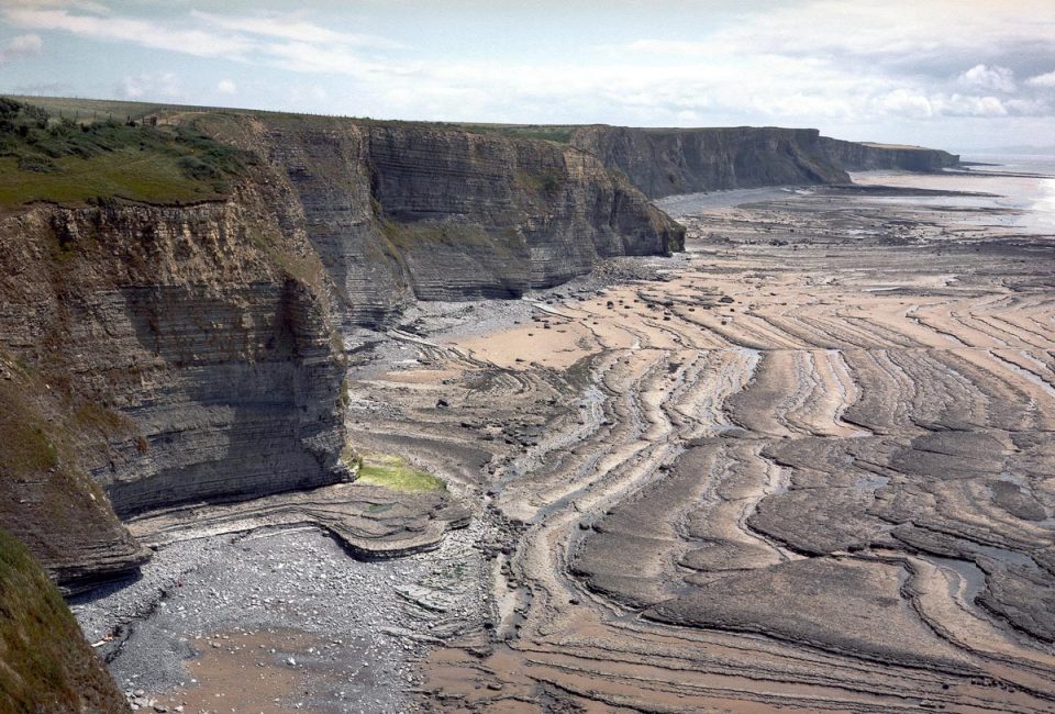
BGS releases first in a series of new offshore maps of the UK seabed
06/04/2022
BGS has released the first high-resolution, offshore map in a new series featuring the seabed around the UK.
3D urban geology
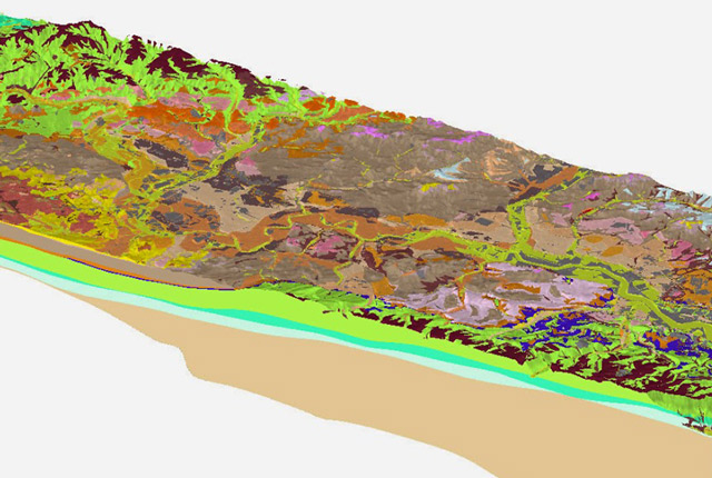
Providing conceptual understanding of the subsurface below our cities to support planning and development, using 3D urban models.
Dadlau dros gyfathrebau dwyieithog
11/03/2021
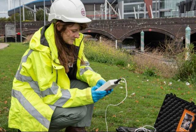
Welsh geologist Ashley Patton makes the case for sharing bilingual content, especially when working with the public.
The Cardiff Urban Geo Observatory: ‘a city-scale observatory for city-scale challenges’
02/03/2021
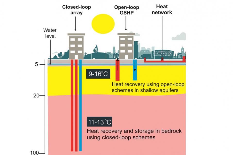
Heat recovery and storage in the urban subsurface could offer part of the solution to decarbonise energy supplies.
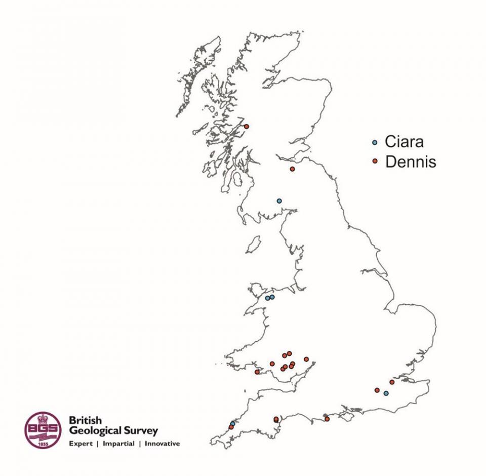
Landslides triggered by Storm Ciara and Storm Dennis in the UK
21/02/2020
On Sunday 9 February 2020, Storm Ciara hit the UK with very high winds and intense rainfall causing widespread disruption and flooding.


