Relative topics
15 results for "disaster risk reduction"

BGS awarded funding to support Malaysia’s climate resilience plan
The project, funded by the Foreign, Commonwealth & Development Office, will focus on minimising economic and social impacts from rainfall-induced landslides.
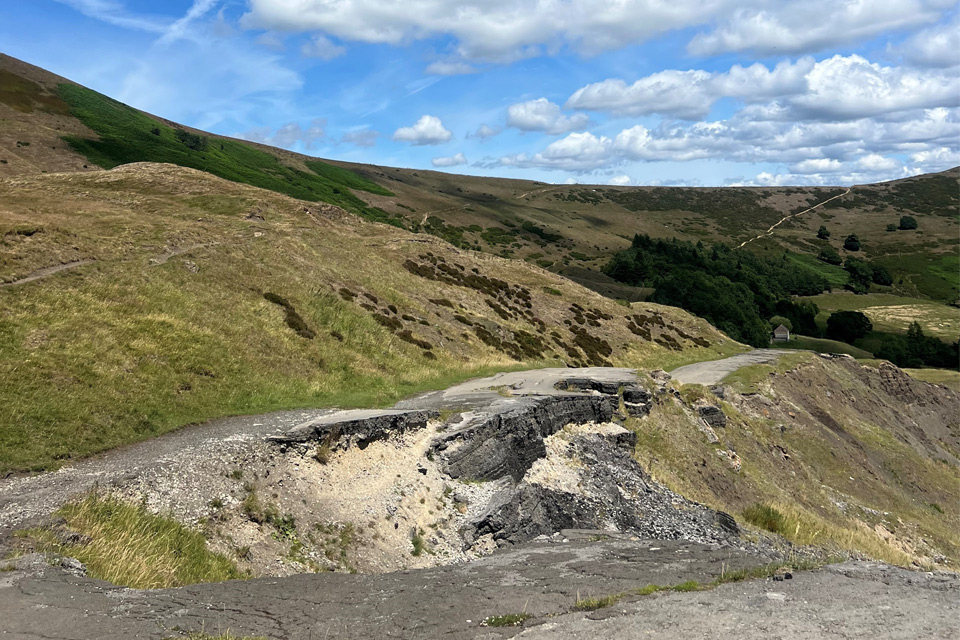
Artificial intelligence helps scientists identify 3000 moving slopes potentially at risk of landslide
A new approach that combines AI and satellite data has been used by scientists to detect actively moving landslides at a national scale.
BGS-led paper scoops prestigious award
New research providing earlier warnings of landslides has been awarded the British Geotechnical Association medal.
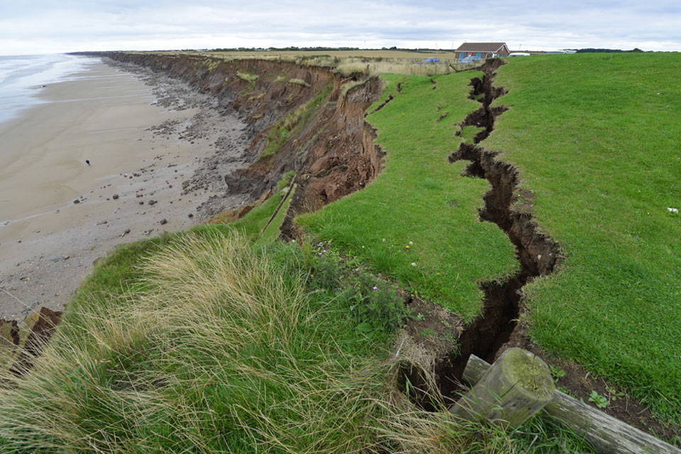
BGS scientists work with United Nations to update hazard profiles
From tsunamis to sinkholes, the profiles provide a standardised, internationally agreed definition of hazards to support disaster risk management worldwide.
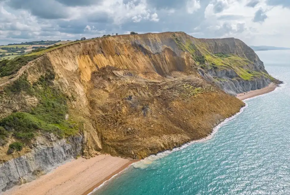
BGS receives award at the World Landslide Forum 2023
BGS's landslide team has been designated a World Centre of Excellence on landslide risk reduction by the International Consortium on Landslides.
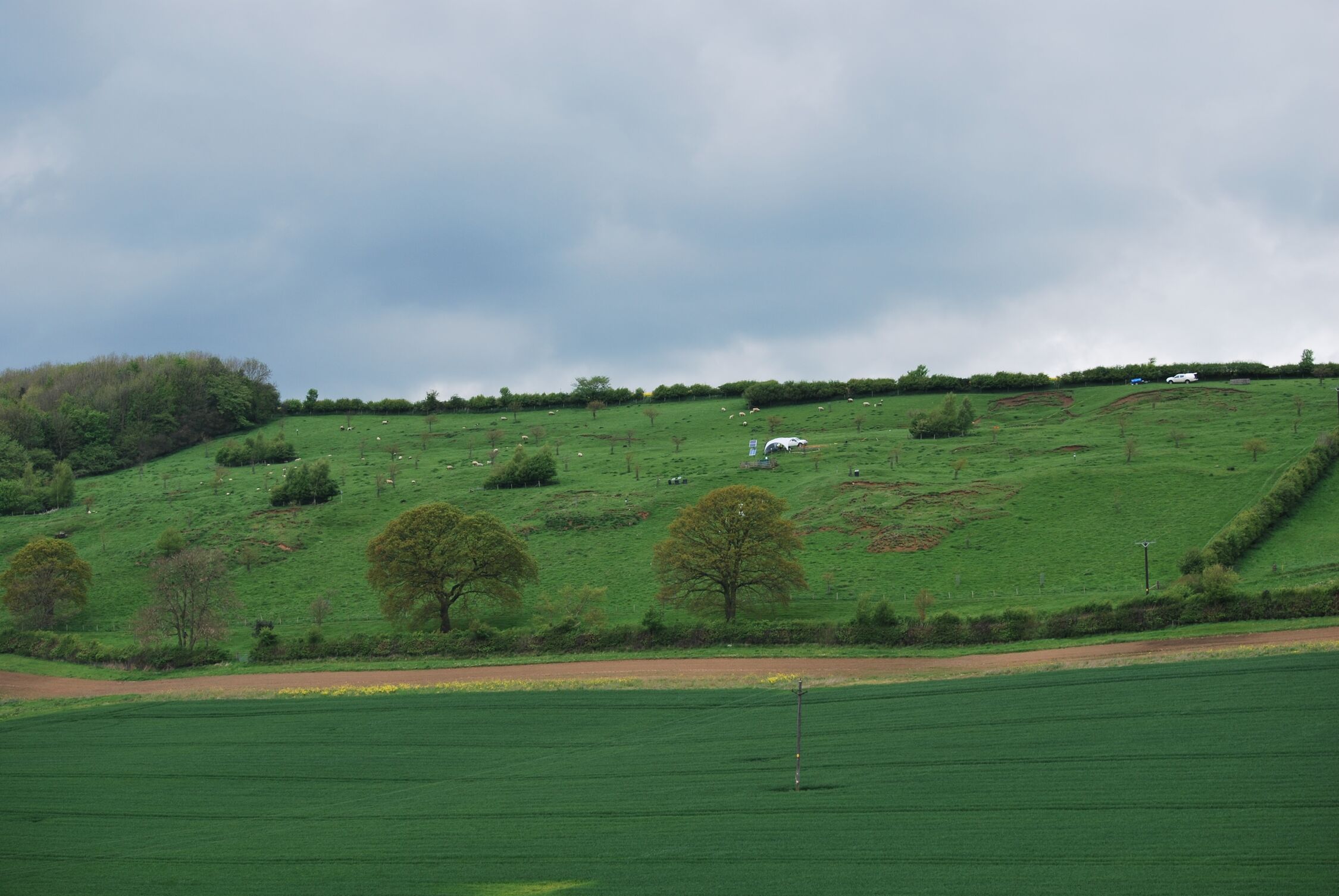
Living in multi-hazard environments
Assessing geological hazard information to improve detection and forecasting of geo-hazards and build on current disaster risk management practices.
MYRIAD-EU: shifting the paradigm in disaster risk management
How changing our approach to disaster risk reduction practices can create a more resilient future.
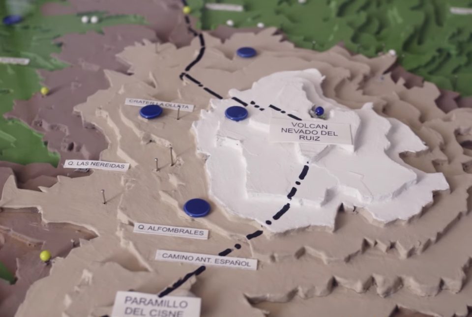
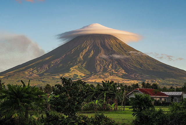
Film trilogy wins award and shares experiences of 1985 Nevado del Ruiz eruption
A collaborative film trilogy co-directed by BGS Volcanologist, Dr Anna Hicks, has won the overall 'Dynamic Earth' Theme Award at the Earth Futures Festival 2022.