Latest

New NERC-funded project empowers young people to engage with environmental science
23/07/2026
BGS is part of a new, collaborative project, funded through NERC’s ‘Opening up the environment’ programme, helping the environmental research community become more accessible.

Delving deep into mountains for future water security
16/07/2026
A BGS-led project is using new water-tracing investigation methods, geophysics and modelling to understand how water moves from mountains to the lowlands, helping to improve water security for billions of people.


Building Europe’s geological future
20/07/2026
BGS scientists are contributing to a continent-wide initiative that is strengthening collaboration across borders to tackle shared subsurface challenges and unlock new opportunities.
Explore more news
Browse all news and events by category
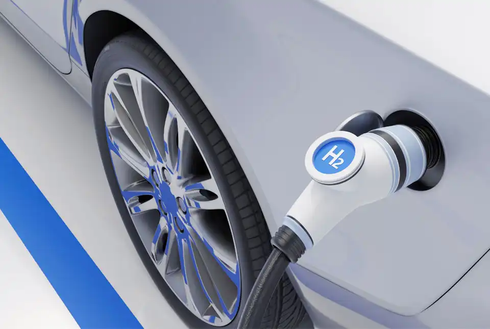
Scoping report on the material requirements for a UK hydrogen economy
21/06/2023
The UK Critical Minerals Intelligence Centre has produced a scoping report that examines the aims of the UK with regards to developing a hydrogen economy, the sustainability of these targets, given current metal loadings, and provides some suggestions for overcoming potential challenges that the UK may face in securing raw materials to support this ambition.

Scoping study on metals used in specialist alloys in the aerospace industry
21/06/2023
A recent scoping study by the UK Critical Minerals Intelligence Centre assesses the application, importance and supply-chain risks associated with specialist alloys used in the aerospace and defence industries.
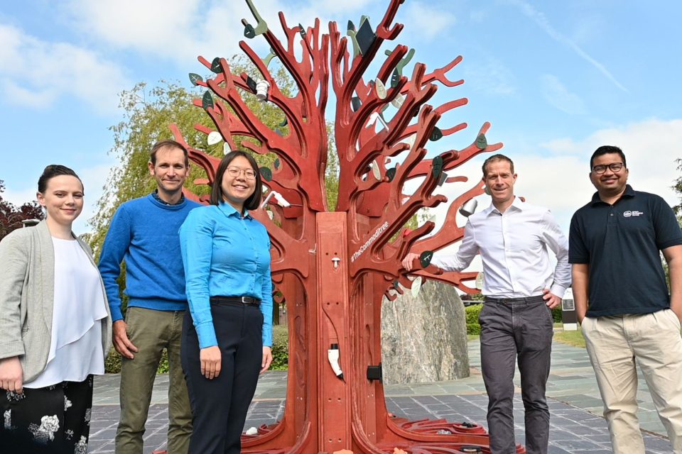
BGS unveils #TheCommoditree at Glastonbury 2023
21/06/2023
The new installation is part of a unique touring festival stand showcasing how modern lifestyles wouldn't be possible without rocks and minerals.
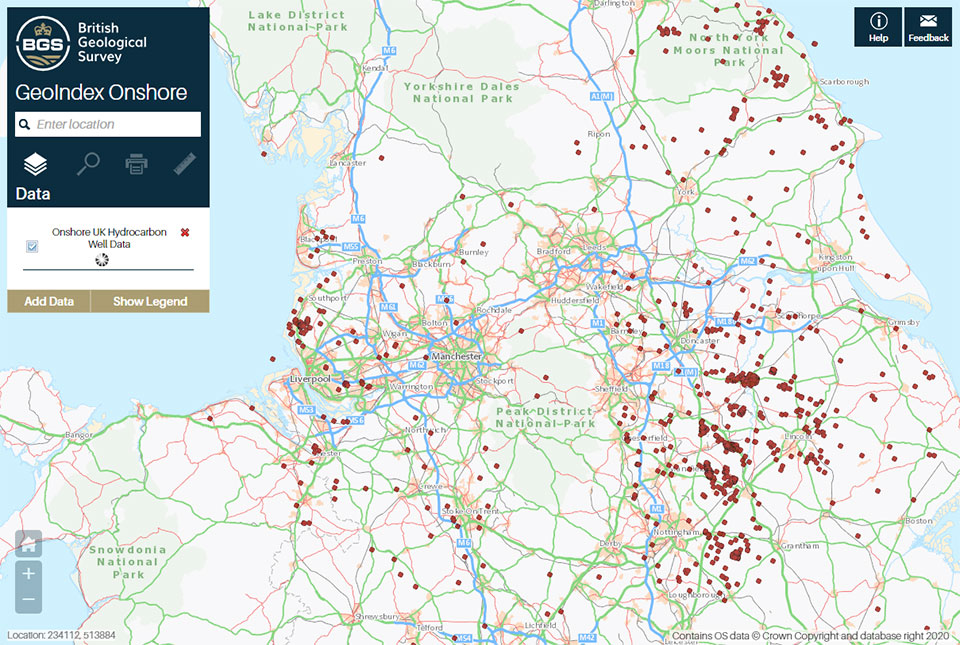
A new open dataset to benefit onshore geoscience research
15/06/2023
Data from deep onshore hydrocarbon wells is being released on an open access basis to help meet the UK’s net zero targets.
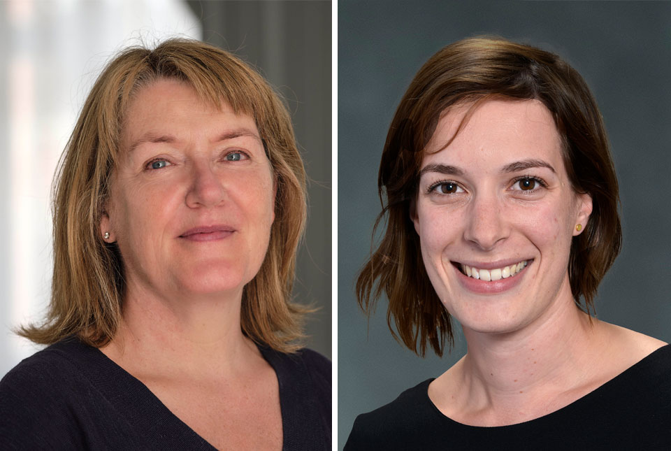
Geological Society honours BGS scientists
14/06/2023
The Geological Society has recognised the contributions of two members of BGS: director Dr Karen Hanghøj and volcanologist Dr Samantha Engwell.
NERC recognised by the Carbon Trust for its step towards net zero
07/06/2023
The Natural Environment Research Council (NERC) has achieved the ‘taking action’ tier of the Carbon Trust’s Route to Net Zero Standard.
New report on the National Land Data Programme published
06/06/2023
The report, based on pilot projects across the UK, explains how spatial data and modelling can support better decisions on land use.

New for 2023: summer placements scheme at BGS
06/06/2023
BGS is excited to be trialling a six-week placement scheme for students in partnership with the School of Geography, University of Nottingham.