Developing regional-scale landslide forecasting in hazard-prone regions of India
BGS has been involved in co-developing a prototype regional-scale landslide forecasting system in two hazard-prone districts of India.
23/06/2022 By BGS Press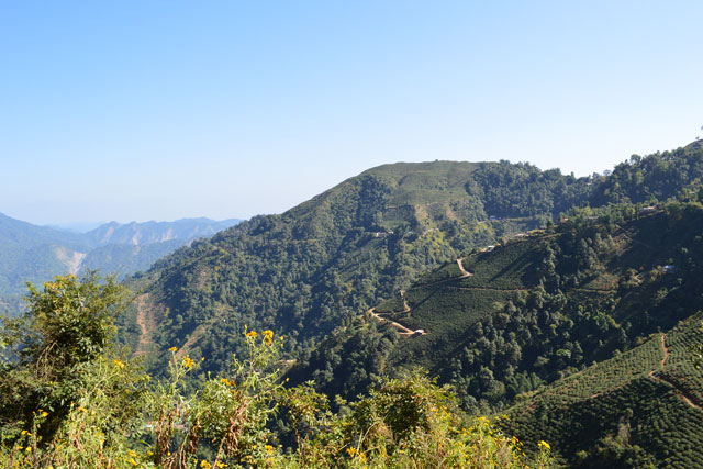

An international research team has co-developed a prototype, regional-scale landslide forecasting system in two hazard-prone districts of India, helping authorities to improve early warning and build resilience to rainfall-triggered landslides.
The prototype, managed by the Geological Survey of India (GSI), enabled authorities in the hazard-prone districts of Nilgiris and Darjeeling to receive experimental daily landslide forecast bulletins for rainfall-triggered landslides during the 2020 and 2021 summer monsoons.
Darjeeling, India. BGS © UKRI.
It was developed by a multidisciplinary team consisting of physical scientists, engineers, social scientists and practitioners from nine organisations in the UK, Italy and India, under a five-year funded research grant from UK Research and Innovation (UKRI) called LANDSLIP.
Landslides in India
Landslides in India are most commonly caused by intense rainfall, snowmelt, earthquakes and human activity. They directly impact dense settlements (particularly hill towns), national highways, strategic trade corridors and heritage sites. Over twelve per cent of the Indian landmass is prone to landslides, with the Himalaya and Western Ghats regions particularly prone due to the specific climatic, geomorphological and geological factors found there.
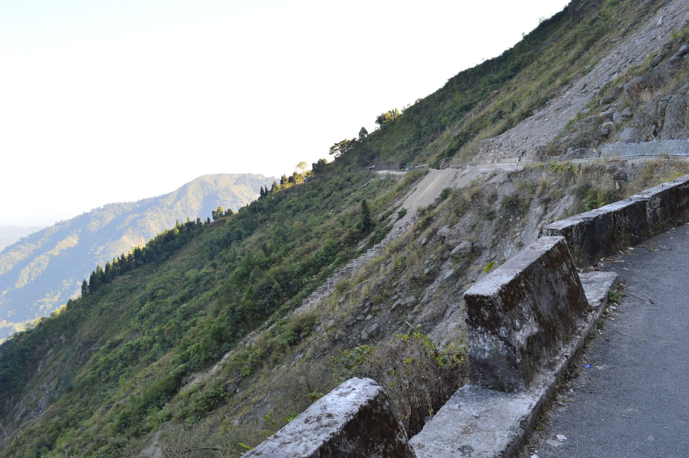
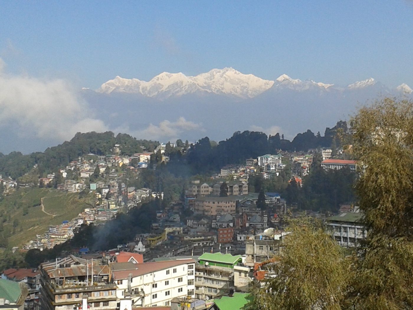
Landslide impact on roads in Darjeeling, India. BGS © UKRI.

Landslides can be devastating for communities in landslide-prone areas, potentially causing injury, loss of life and damage to homes, livelihoods and vital infrastructure. Anthropogenic activities such as deforestation, road building, slash-and-burn cultivation and mining can also increase the risk of landslides occurring.
Emma Bee, BGS and co-lead of the LANDSLIP project.
Helping to build resilience
More frequent and more extreme weather events, coupled with poor land-management practices, rapid urbanisation and tourism, are likely to have contributed to a rise in the number of landslides observed in India that caused damage to lives and livelihoods in the past decade.
The Sendai Framework for Disaster Risk Reduction sets out seven global targets and four priorities to be achieved by 2030. This framework is prompting governments to seek solutions to increase resilience to hazards, such as landslides.
The LANDSLIP project
Led by researchers at BGS and King’s College London (KCL), the LANDSLIP project — ‘Landslide multi-hazard risk assessment, preparedness and early warning in South Asia: integrating meteorology, landscape and society’ — assembled a multidisciplinary and multi-agency team from three countries, including GSI, the principal government agency for landslides in India.
- India: GSI, Amrita University, Practical Action-India, SaveTheHills and Keystone
- Italy: Consiglio Nazionale delle Ricerche
- UK: BGS, KCL, Met Office, Practical Action Consulting International, Newcastle University
The primary aim of LANDSLIP has been to contribute to better landslide risk assessment and early forecasting for hydrologically controlled landslides at a regional spatial scale, and daily to seasonal temporal scales.
Close co-development of tools, methodologies and outputs with Indian national and district authorities has been key to the LANDSLIP ethos, both in designing and during the project. A prototype landslide forecasting system was developed for two project pilot-study areas: Darjeeling in the Himalaya and Nilgiris in the Western Ghats, where heavy rainfall frequently triggers landslides, causing damage and risk to lives and livelihoods.
LANDSLIP has helped the GSI to start a collective, interdisciplinary and multi-institutional endeavour for developing regional landslide early warning aystems in a country where data scarcity, informal institutional frameworks, overlapping work domains, complex failure domains and very high landslide risks exist in multiple terrains.
Dr Saibal Ghosh, deputy director general of the Geological Survey of India.
The local communities, especially in the Darjeeling hills region, stand to benefit a great deal from LANDSLIP’s positive work and contribution in terms of credible regional scale early warning system, as well as awareness about the various aspects of landslides.
Wg Cdr Praful Rao, president of SaveTheHills.
Understanding landslides
The complex environmental conditions and triggering processes that cause landslides mean that they are inherently difficult to forecast.
As well as enhancing regional-scale, landslide-related hazard assessment in India, the LANDSLIP project has helped strengthen the understanding of the processes that contribute to hydrologically triggered landslides. Knowledge of where and when landslides have occurred in the past has enabled members of the team to undertake new research in South Asia, including:
- understanding the types of weather patterns (regimes) where landslides are most frequently observed
- investigating rainfall and the geomorphological characteristics that are more likely to lead to landslides in the two study areas of Darjeeling and the Nilgiris
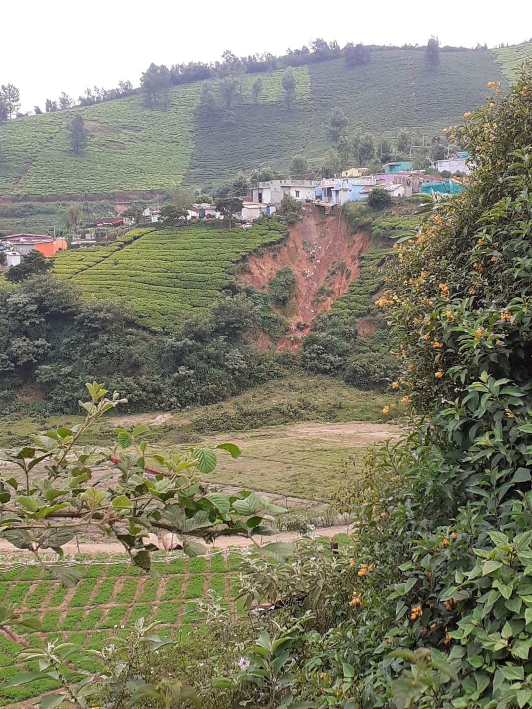
A landslide in the Nilgiris Hills, Tamil Nadu, India. BGS © UKRI.
The project has highlighted the importance of systematic and comprehensive landslide data inventories to underpin such research, and developed frameworks for landslide data collection.
LANDSLIP has helped develop a methodology and protocols for landslide-related data collection by local actors (NGOs, local officials) using an efficient method, so as to supplement national level databases.
Prof Bruce Malamud, KCL and LANDSLIP co-lead.
Creating a legacy
Through multi-agency collaboration, using interdisciplinary methodologies and perspectives and funding of eight PhD students, LANDSLIP has developed new research and insights by building on existing scientific research in India, the UK and Italy.
Available through the LANDSLIP website, key lessons from the project have been captured in a series of open-access knowledge products. These public-facing briefs are designed for those interested in landslide hazard risk management, forecasting, early warning, anticipatory action and disaster risk reduction, and cover the following:
- meteorological forecasts
- landslide forecasts
- landslide data
- development of a landslide forecast bulletin
Project outputs are aiding Indian authorities to further develop data, models, protocols and procedures to improve landslide forecasting and, in turn, support early warning.
LANDSLIP has promoted interdisciplinary research empowered with national and international cooperation. It has brought in an integrated view and solutions that could contribute in building regional-scale early warning of landslides.
Dr Maneesha Vinodini Ramesh, provost, Amrita Vishwa Vidyapeetham.
Funding
LANDSLIP was funded from November 2016 to June 2022 through UKRI’s NERC/FCDO Science for Humanitarian Emergencies and Resilience (SHEAR) programme (research grant numbers NE/P000681/1 and NE/P000649/1).