GeoClimate launch event — reducing subsidence risk due to climate change
Learn more about a major new release of our GeoClimate UKCP18 data
Event on 20/05/2021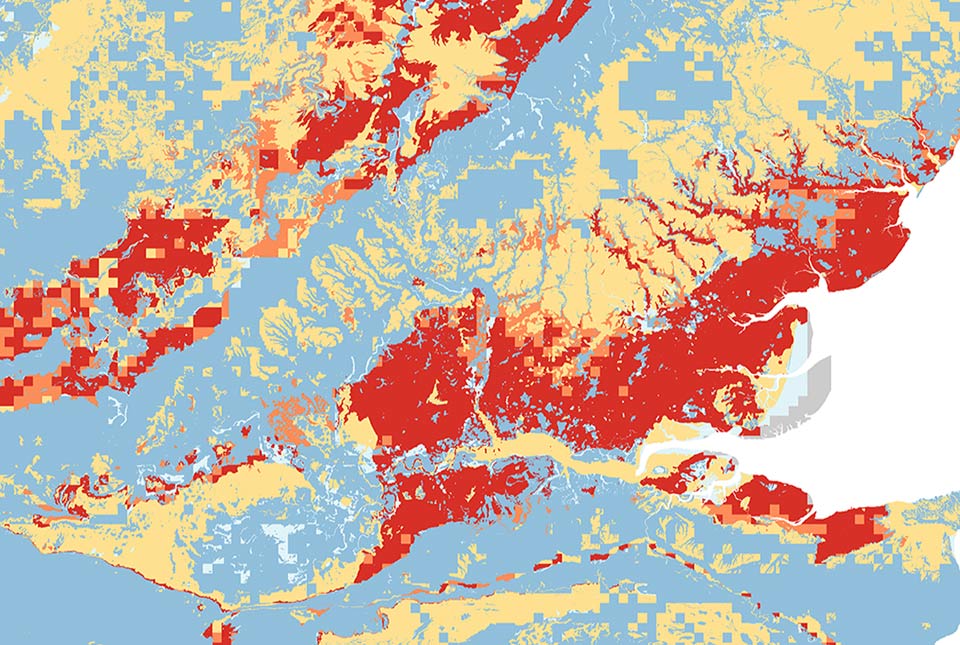
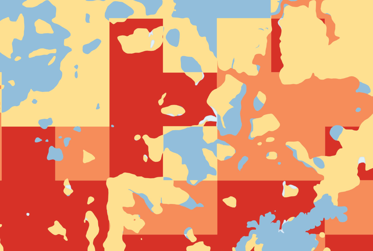
Discover more about a major new release of our GeoClimate UKCP18 data. The BGS GeoClimate: shrink–swell national datasets show potential change in subsidence due to changes in climate, identifying areas projected to experience the largest increases in susceptibility to subsidence over the next century.
In this recorded webinar, you will get insights into the content of the data, learn more about our upgrade from GeoClimate UKCP09, the research and potential uses.

This 30 minute webinar covers:
- examples of use and applicability
- GeoClimate development and research
- GeoClimate latest features and content
- the different climate scenarios used
- differences between the Open and Premium products
About the BGS GeoClimate UKCP data products
Potential subsidence is driven by both geology and climate. By combining geological data and applying the UK Climate Projections (UKCP) scenarios in the UK for the next century, BGS has produced maps showing areas with varying vulnerability to shrink–swell subsidence in the future due to climate change. These hazards may lead to financial loss for anyone involved in the ownership or management of property, including developers, householders, owners of commercial buildings, local government and property insurers.
In the webinar we bring together the research scientists and product development experts to provide an introductory overview to the dataset and the science that underpins it.
Upcoming events

Extractive Industry Geology (EIG) Conference 2026
Event from 08/09/2026 to 11/09/2026
University of Liverpool
BGS GeoClimate – dataset launch webinar
Event on 02/06/2026
The virtual launch of our new BGS GeoClimate dataset – helping mitigate the economic risk from shrink-swell subsidence. Event recording now available

UK Critical Minerals Intelligence Centre 2026 showcase
Event on 31/03/2026
A special live webinar with the team from the Critical Minerals Intelligence Centre showcasing the latest research from 2026 on copper, the future of digital, and what’s next for the criticality assessment. A recording of the event is now available.

After-school kids’ clubs
Event from 25/02/2026 to 25/03/2026
An after school club for junior geology enthusiasts
NERC Tech Forum 2025
Event from 03/06/2025 to 05/06/2025
The primary aim of the meeting is networking within technology areas in NERC and related research centres.
Webinar: underground thermal energy storage (UTES): uncertainties and benefits
Event on 15/01/2025
Join us for a special webinar that will introduce underground thermal aquifer storage and offer all interested parties the opportunity to participate in a workshop to be held in spring 2025.
Criticality Assessment 2024 launch webinar
Event on 28/11/2024
A special live webinar with the team from the Critical Minerals Intelligence Centre to accompany the launch the latest UK Criticality Assessment. A recording is now available to watch online
BGS Open Day 2024
Event on 08/06/2024
Join us on 8 June 2024 to explore volcanoes and earthquakes, soils and aquifers, the sea, the sky and everything in between!
2024 Mine Water Energy Symposium
Event from 24/04/2024 to 26/04/2024
Now in its fourth year, the 2024 Mine Water Energy Symposium will be held in person for the first time in April 2024, with online streaming functionality.
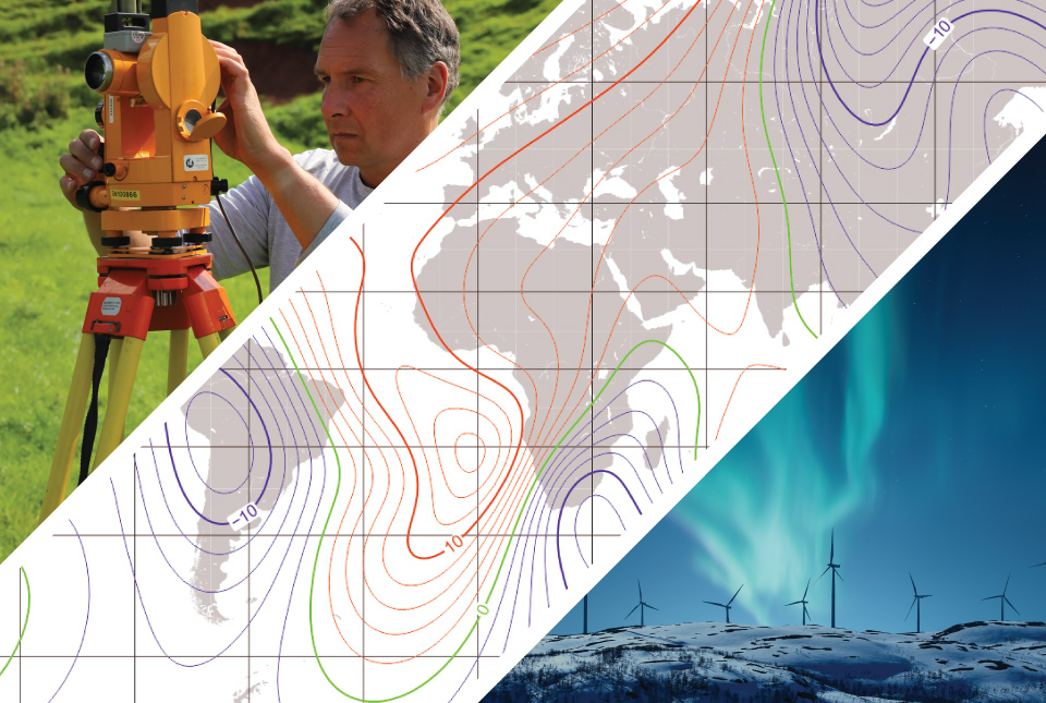
From the Earth’s core to outer space: understanding the magnetic field
Event on 26/03/2024
A special webinar focusing on our our geomagnetism research, including how we measure the magnetic field, everyday applications and mitigating the threats of space weather.