Climate and geology: considering future potential for river scour
A trial BGS data product takes the temporal component of potential future increased amount and intensity of rainfall on river scour into account.
05/11/2021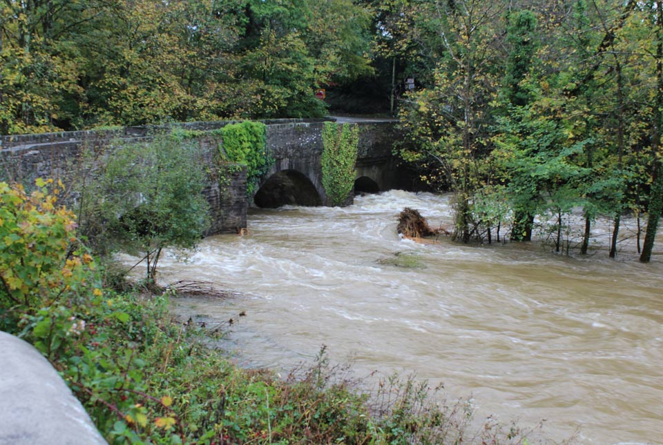

River scour is the removal of sediment or engineered materials from a river environment. It’s a real threat to riverine structures such as bridges and associated infrastructure. In Britain, there have been at least 50 known instances where river scour has caused railway bridge failures (van Leeuwen and Lamb, 2014, Lamb et al., 2019).
With projected climate scenarios telling us not only of an expected increase in rainfall in some areas of the UK, but also of an increase in the intensity of that rainfall, we are expecting river scour to become an increasing issue. With fuller and faster flowing rivers, proximal assets including roads and buildings could also become at increased risk if river scour removes sediments laterally and at a faster pace. We need to be able to identify locations at risk and adapt to the changing conditions to increase our resilience.
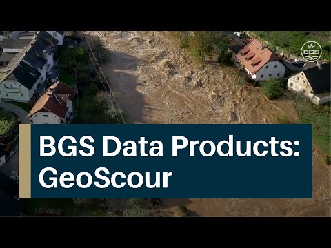
The existing BGS GeoScour data product provides information for users on the natural characteristics and properties of catchment and riverine environments for the assessment of river scour across Great Britain. Whilst this product provides information on baseline geological conditions and other associated characteristics, it does not convey potential for change through time. Take a look at this video we released on our original GeoScour product for some more information.

BGS GeoScour provides information for users on the natural characteristics and properties of catchment and riverine environments for the assessment of river scour in Great Britain.
To bring in this temporal component, with a focus on changing patterns of precipitation based on UKCP18 projections, we are now trialling a new GeoScour-Climate dataset. To date with this beta product, we have considered how climate change could modify potential effects related to flood accommodation space (locations with limited space to hold flood waters will potentially be at higher risk of scour events) and worst-case scenario erosion cases as identified in the current GeoScour product. This provides time-specific potential for change under the extreme scenario RCP 8.5 (read more about RCPs, or representative concentration pathways, on the Met Office website).
By integrating climate scenario information, we can move from providing baseline conditions to incorporating environmental process interactions over time. This will enable our data product users to establish a better understanding of how river scour might evolve through time. Incorporating this additional information into planning and risk assessment development can then help ensure climate resilience and the sustainability of both existing and future infrastructure and developments.
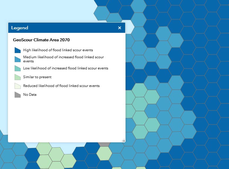
Snapshot of the GeoScour-Climate beta-product for 2070, resampled to 10 km hex grids. BGS © UKRI.
To ensure that our future products meet your requirements, consideration of your needs throughout the development process is essential. If you would like to learn more about our GeoScour-Climate developments or would like to discuss how this and similar climate related datasets might be useful for your applications or business, please get in touch with us at digitialdata@bgs.ac.uk. If you have five minutes, please also fill out our user engagement survey.
About the authors

Dr Christopher Williams
Head of BGS Digital Mapping
Kathryn Lee
Geologist and BGS Informatics product portfolio manager
Relative topics
Latest blogs

Building Europe’s geological future
20/07/2026
BGS scientists are contributing to a continent-wide initiative that is strengthening collaboration across borders to tackle shared subsurface challenges and unlock new opportunities.

Collecting beach pebbles: fun hobby but is it legal?
14/07/2026
The UK coastline will be inundated with keen holidaymakers this summer, many of whom will take a memento of their trip home in the shape of a pebble or two — but is it legal?

Strengthening capacity through partnership: a critical minerals perspective
28/04/2026
BGS has been working in partnership with the Geological Survey Department of Zambia (GSD) to build national capacity, improve data accessibility and support long-term, sustainable development.

PhD adventures in Copenhagen, Denmark: revealing past recovery processes of tropical forest systems through ancient environmental DNA
12/03/2026
PhD student Chris Bengt visited the University of Copenhagen to carry out very delicate extraction of aeDNA from lake-sediment cores, in the hopes of unlocking the secrets of past volcanic eruptions.

MARC Conference 2025: highlighting the importance of conferences to PhD students
16/02/2026
BGS and University of Nottingham PhD student Paulina Baranowska shares her experience presenting her research on nuclear forensics at her first international conference.

Hole-y c*@p! How bat excrement is sculpting Borneo’s hidden caves
23/12/2025
BGS researchers have delved into Borneo’s underworld to learn more about how guano deposited by bats and cave-dwelling birds is shaping the subsurface.

How the geology on our doorstep can help inform offshore infrastructure design
19/11/2025
BGS is part of a new collaboration using onshore field work to contextualise offshore data and update baseline geological models which can inform the sustainable use of marine resources.

Fieldwork on Volcán de Fuego
13/10/2025
Understanding how one of the world’s most active volcanoes builds up material, and how they collapse to feed hot flows
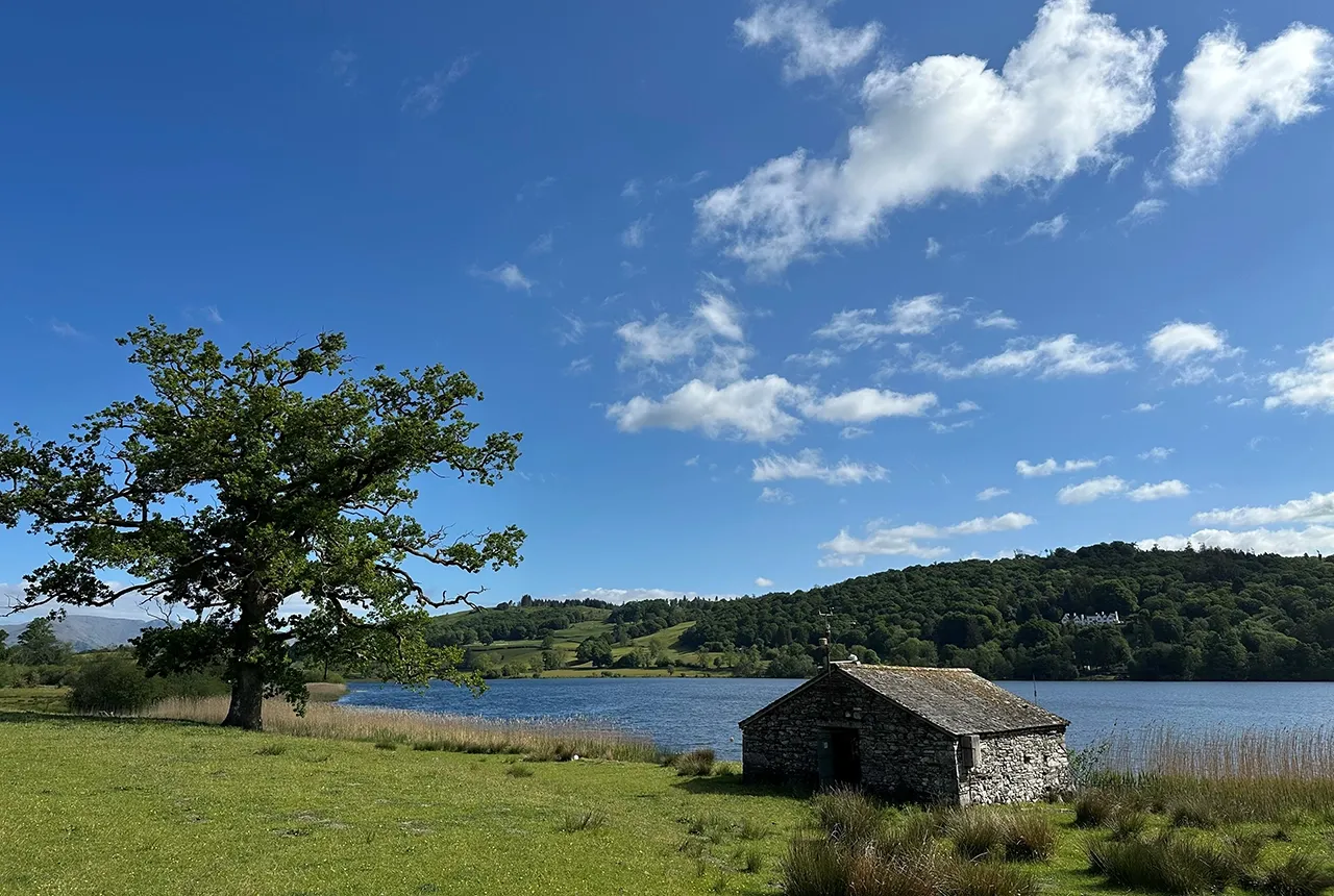
Esthwaite Water: applying novel approaches to understand lake-water nutrient pollution
19/09/2025
Andi Smith (BGS) and Savannah Worne (Loughborough University) embarked on fieldwork in the Lake District, applying a novel stable isotope method for tracing phosphorus sources.

Opening up the geosciences: making work experience more accessible
19/09/2025
BGS has been working with partners to make the geosciences more accessible to young people, including those from under-represented backgrounds.
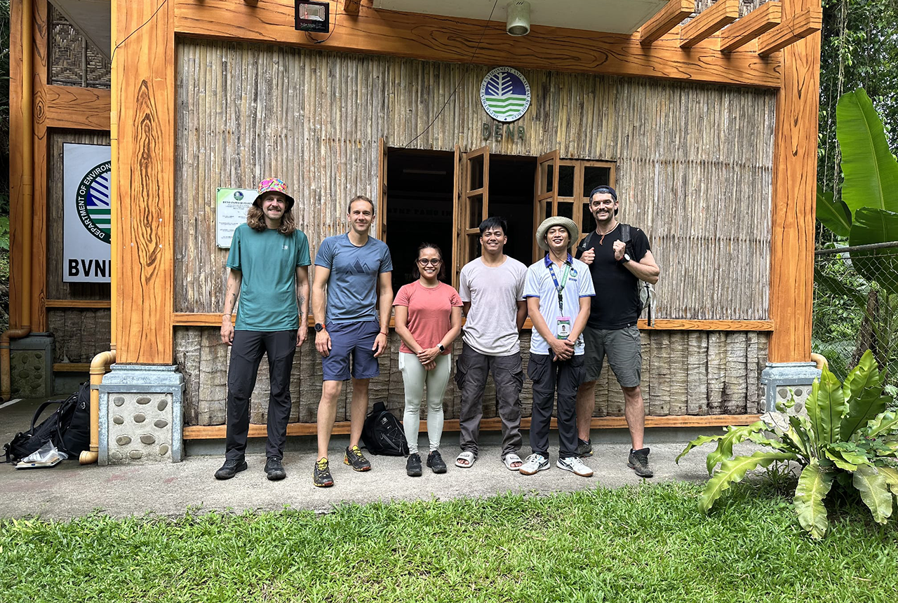
PhD adventures in the Philippines: coring around Lake Bulusan
05/09/2025
Chris Bengt recounts his two-week field trip to Bulusan Volcano Natural Park in the Philippines to collect lake sediment cores, fresh soil and water samples.
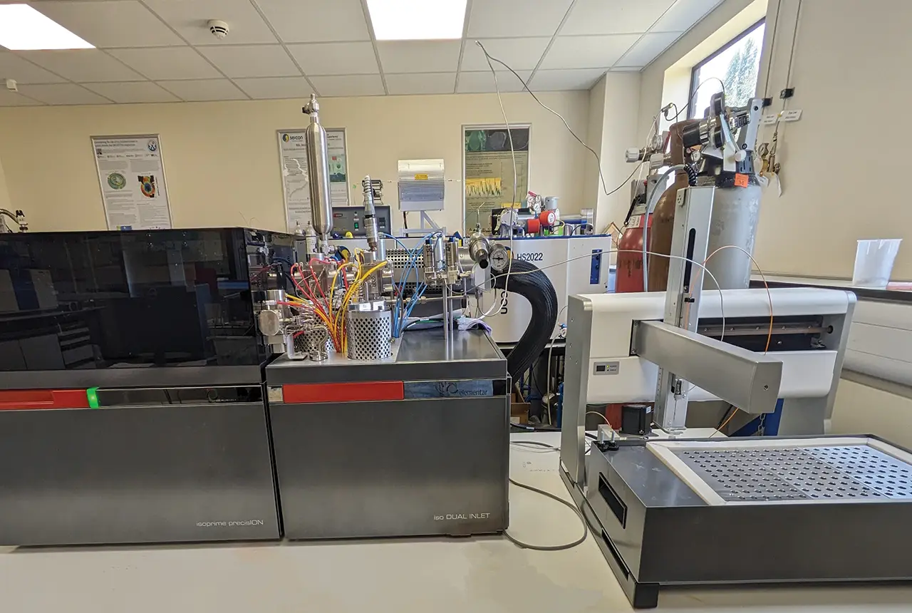
Gemini: a new stable isotope tool
21/08/2025
BGS’s Stable Isotope Facility has new mass spectrometer equipment for analysing carbon and oxygen isotopes from carbonates and water.