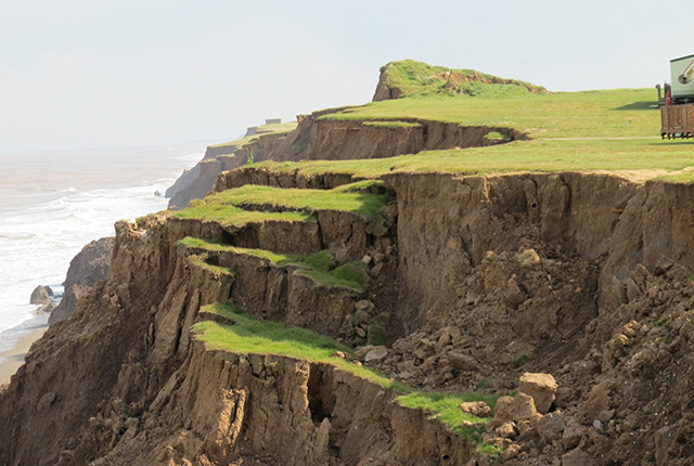
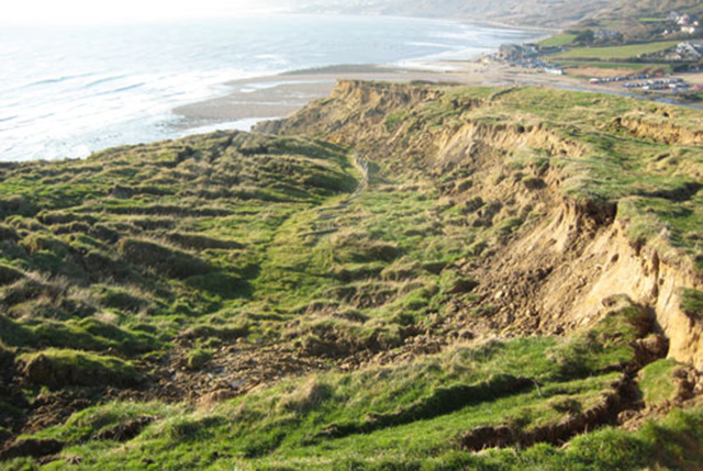
The landslides team at the BGS has studied numerous landslides. This work informs our geological maps, memoirs and sheet explanations and provides data for our National Landslide Database, which underpins much of our research. If you’ve seen a landslide or want to contact us about landslides, you can email us at landslides@bgs.ac.uk.
View our landslide case studies
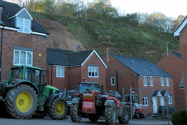
Berry Hill quarry, Mansfield, Nottinghamshire
In 2019, a landslide occurred on a disused former sandstone quarry slope in Mansfield and affected over 35 properties.
You may also be interested in:
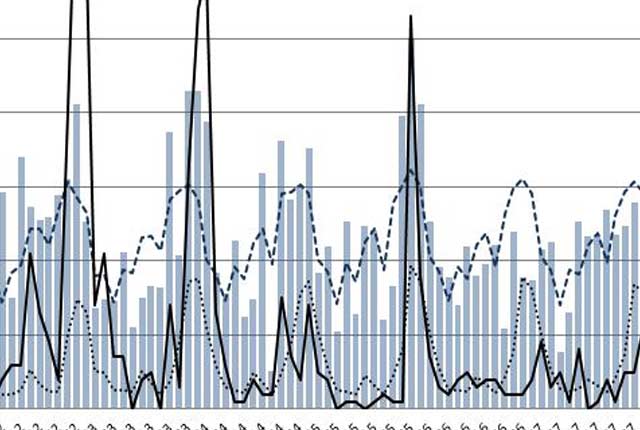
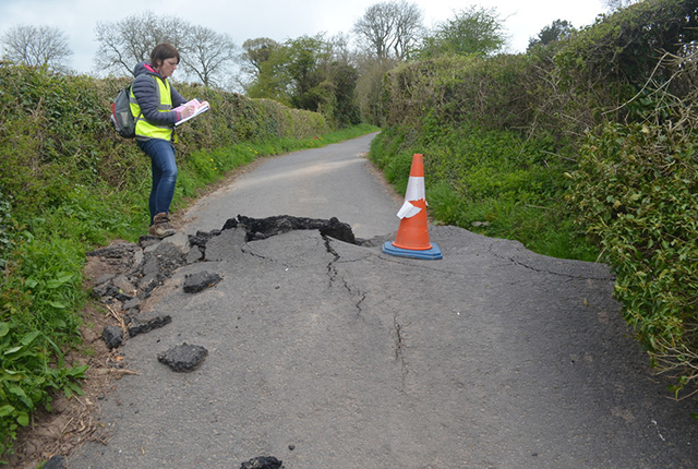
Landslides and rainfall
We combine rainfall statistics and landslide data to produce graphs demonstrating the relationship between landslides and rainfall.
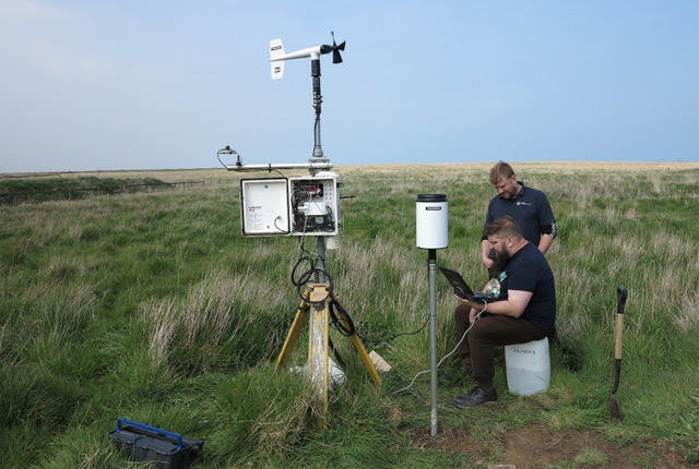
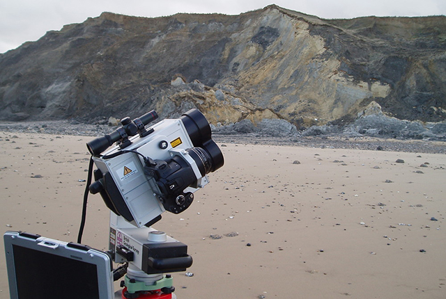
Hazard monitoring
Hazard monitoring provides valuable information for process understanding and for the science required for developing early warning systems to protect people and infrastructure.