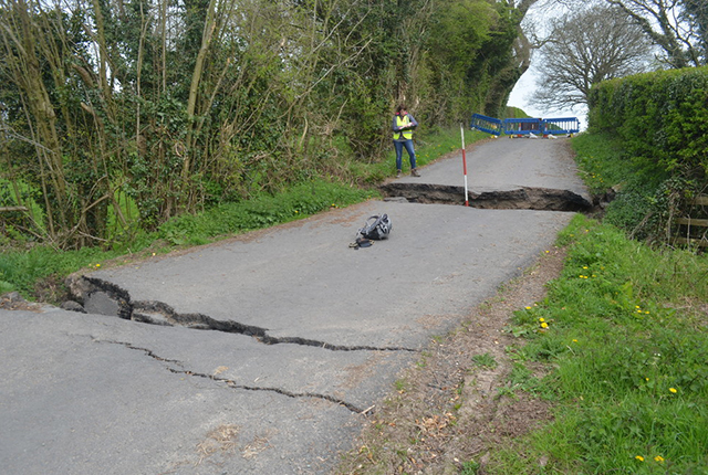
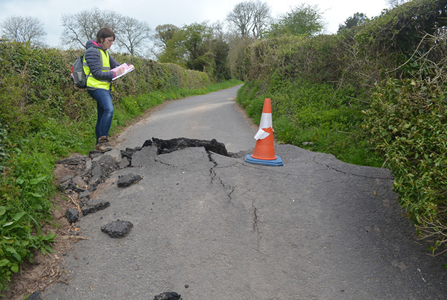
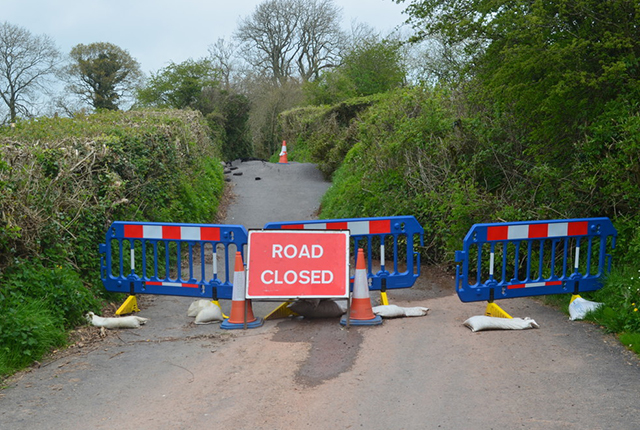
Following a period of heavy rain throughout January and February 2014, an ancient landslide began to reactivate on 7 February 2014 near Shortwood Farm, 2 km south of Pencombe in Herefordshire. This was later reported in April as having disrupted the road; the driveway leading to the farm had to be rebuilt. It was reported that the landslide caused ‘two acres of farm land to slip away’ and ‘whole oak trees had been moved’ (Hereford Times) .
- Landslide caves in Pencombe road Hereford Times, 9 April 2014
- Pencombe landslide closes road indefinitely Hereford Times, 21 June 2014
- Rainfall risk could mean permanent closure for landslide-affected Herefordshire road Ground Engineering, 23 June 2014
The BGS Landslide Response Team made a visit to the landslide on 17 April 2014 to record the failure. Information was collected for the BGS National Landslide Database (ID 19624/1-3) and geological maps.
Geology
The geology underlying this slope is the Devonian St Maughans Formation, a rhythmic sequence of silty mudstones with fine- to medium-grained sandstones that also contains calcrete nodules and lenses of conglomerate. Underlying this, at the bottom of the slope, is the Silurian Raglan Mudstone Formation, a rhythmical sequence of predominantly silty mudstones with thin (less than 3 m thick) sandstones.
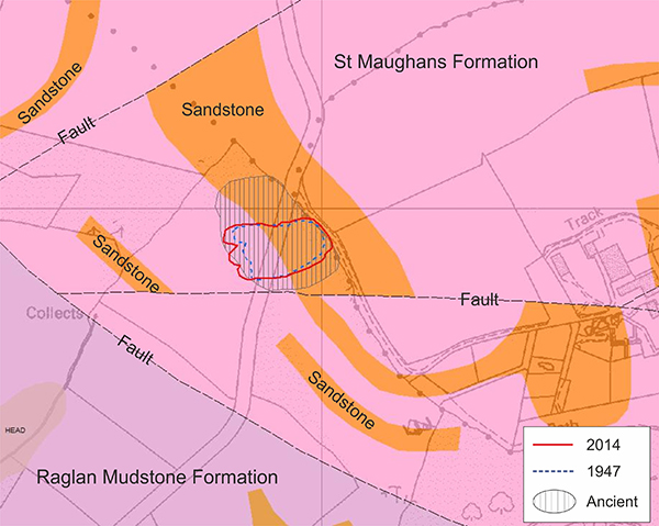
Figure 1: geological map of the Shortwood landslide and surrounding area. Three phases of landslide movement are mapped here: ancient landslide, 1947 and 2014.
The landslide
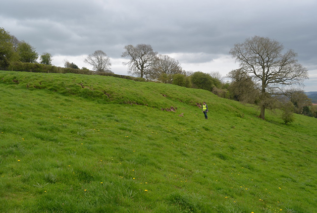
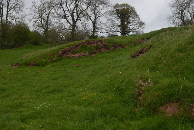
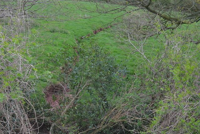
This landslide is a reactivation of an ancient landslide. The reactivation is shallow translational with flow features at the toe. The rear backscarp is clearly evident at the top of the slope and, during this phase of movement, large oak and ash trees have moved downslope. There is also evidence of a fresh side scarp in the field to the east of the road and extensional cracks in the upper slope. At the toe, the flows have over-ridden a previous phase of movement and classic ‘roll-over’ features can be seen.
The most likely cause of this landslide is the period of heavy rainfall prior to the event. Groundwater seepage (from pervious layers of calcrete, sandstone and conglomerate within the St Maughans Formation) saturated and weakened the underlying mudstones; in wet weather, an increase in pore water pressure is the likely cause of movement.
In the wider area, landslides are generally uncommon. On steep scarps and in steep valleys in the Leominster/Bromyard plateau there have been landslides within the outcrop of the St Maughans Formation, probably associated with low downslope dips.
Gallery
An historic landslide
There is field evidence of several phases of historic movement, most likely initiated at the end of the last glaciation under much wetter conditions than today.
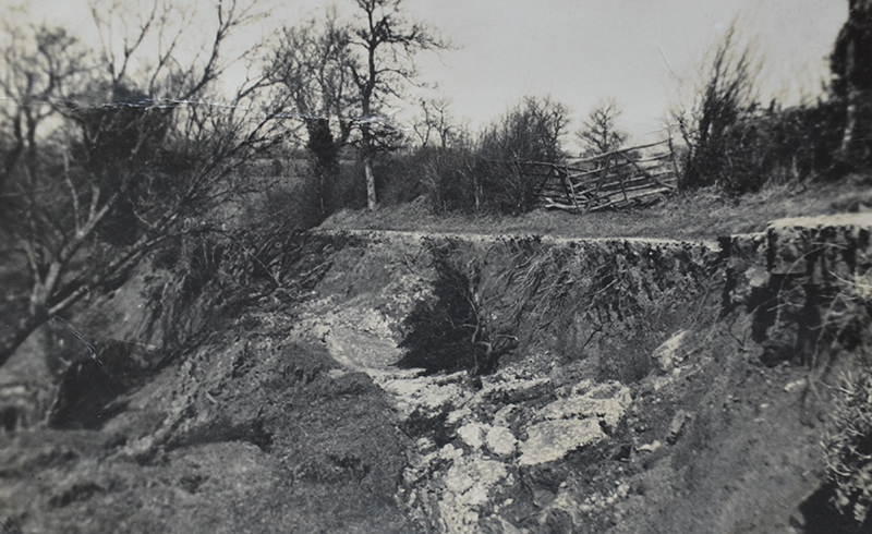
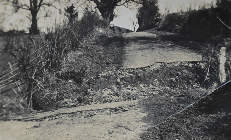
Mr and Mrs Legge, owners of Shortwood Farm, have photographs from a previous phase of movement in 1947 that also affected their driveway. It is reported that thawing snow caused the landslide ‘shaking nearby farmhouses’, although the month of March 1947 also saw three times the long-term average amount of rainfall. A smaller landslide in the same place is also known to have occurred in 2001.
You may also be interested in
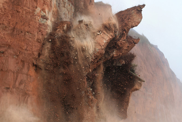
Landslide case studies
The landslides team at the BGS has studied numerous landslides. This work informs our geological maps, memoirs and sheet explanations and provides data for our National Landslide Database, which underpins much of our research.
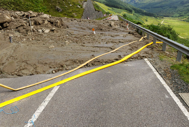
Understanding landslides
What is a landslide? Why do landslides happen? How to classify a landslide. Landslides in the UK and around the world.
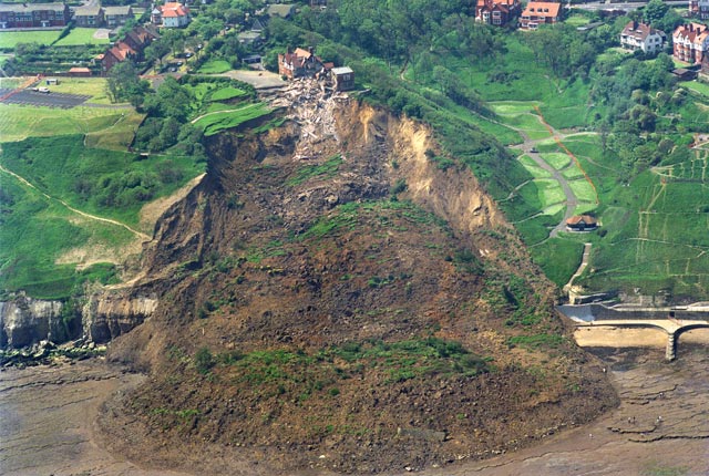
How to classify a landslide
Landslides are classified by their type of movement. The four main types of movement are falls, topples, slides and flows.
Landslides in the UK and around the world
Landslides in the UK, around the world and under the sea.


