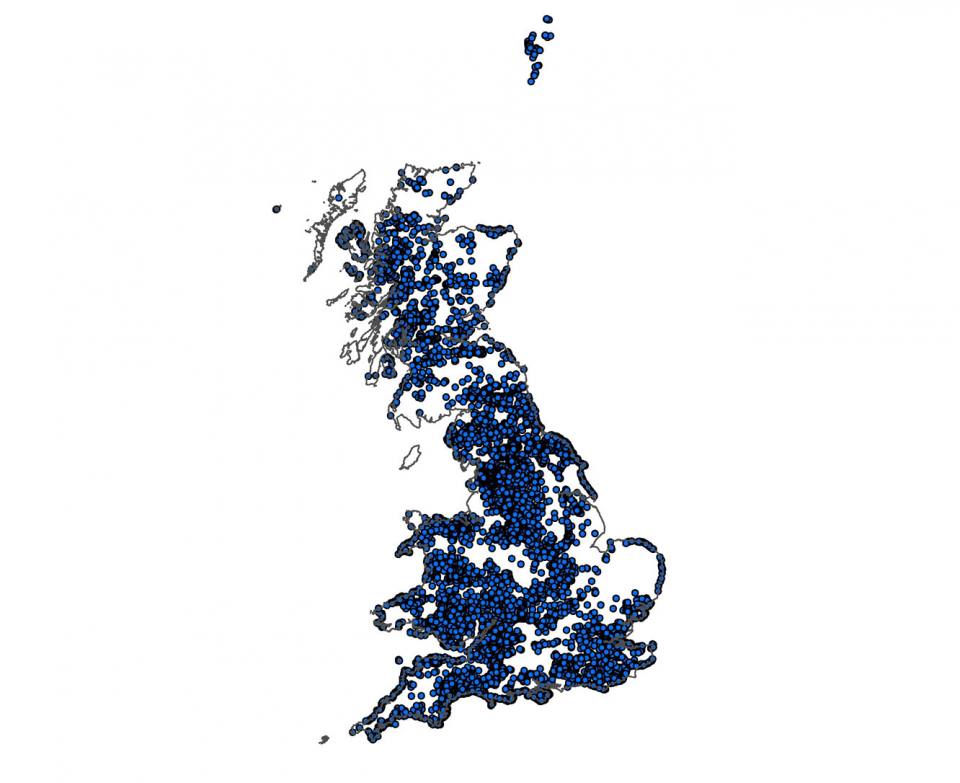
The BGS National Landslide Database (NLD) is the most extensive source of information on landslides in Great Britain. Selected information from the database is now available as a free online resource as part of our online GIS, the GeoIndex, where you will need to select the hazards theme.
The database currently holds over 18 000 records, which are continually being updated. New records are added as landslide information is made available.
Data sources
These data come from a variety of sources, including published BGS geological maps and active surveys. Other sources include commissioned and research studies, information from the public and a number of regional databases that we have inherited or compiled since the 1970s, including the Department of the Environment (DoE) National Landslide Database constructed in the 1990s.
GIS point data
Each landslide is documented as fully as possible with information on location, name, size and dimensions, landslide type, trigger, damage caused, movement date, age and with a full bibliographic reference. The database is linked to a GIS that displays the landslides as point data.
Contact the Landslide Response Team
British Geological Survey
Keyworth
Nottingham
NG12 5GG
Email: Landslides team
Telephone: 0115 936 3143
Fax: 0115 936 3276
You may also be interested in

Landslides and rainfall
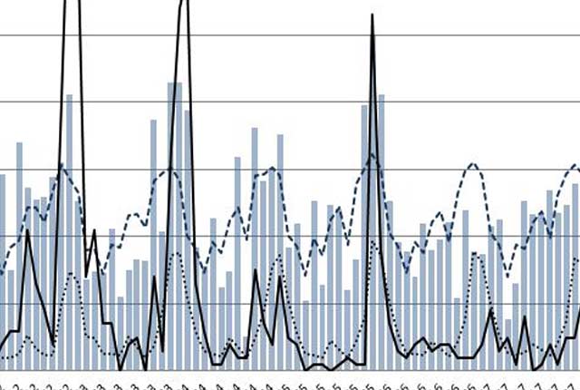
We combine rainfall statistics and landslide data to produce graphs demonstrating the relationship between landslides and rainfall.

Landslide case studies
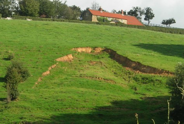
The landslides team at the BGS has studied numerous landslides. This work informs our geological maps, memoirs and sheet explanations and provides data for our National Landslide Database, which underpins much of our research.

Hazard domains
The landslide domain map summarises the key characteristics of landslides in a series of hierarchical spatial units that represent areas of similar physiographic, meteorological, climatic and geological characteristics that shape the style of landsliding.


