On 14 February 1994, a 12 000-year-old landslide started to move again above the village of St Dogmaels. St Dogmaels (Llandudoch in Welsh) is a small village in Pembrokeshire close to Cardigan. The village is at the south of the River (Afon) Teifi, an area well known for landslide activity within west Wales.
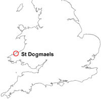

St Dogmaels, Pembrokeshire location map. BGS © UKRI.
As the landslide was threatening the village, the BGS Landslide Team carried out an assessment of the stability of the slope. This landslide is BGS National Landslide Database ID 11789/1.
Ancient landslide
This landslide originally occurred at the end of the last glaciation — around 12 000 years ago. This ancient landslide was 800 m long by 300 m wide and was S-shaped. This complex landslide had three main types of movement – rotation, translation and flow (landslide classification).
At the top of the landslide was a bowl-shaped backscar with the main mass of the landslide below. The lower parts of the landslide spread into the Teifi valley and formed lobes, which were debris flow segment of the landslide.
This slide occurred within glacial deposits accumulated within a pre-glacial valley, when glaciers retreated from the area.
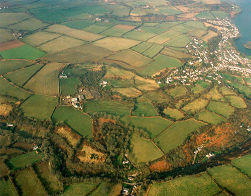
The St Dogmaels landslide area. Photograph kindly provided by Dyfed Powys Police.
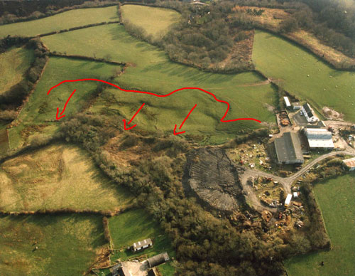
The bowl-shaped backscarp of the ancient landslide. The red arrows indicate the direction of movement. Photograph kindly provided by Dyfed Powys Police.
1994 landslide
The upper sections of the slope and landslide were most heavily affected during the 1994 failure. Cracks in buildings and other structural damage were caused by more minor movements at the base and lower sections of the slope.
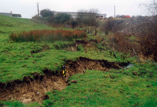
The landslide moved around 2.5 m at the backscarp.
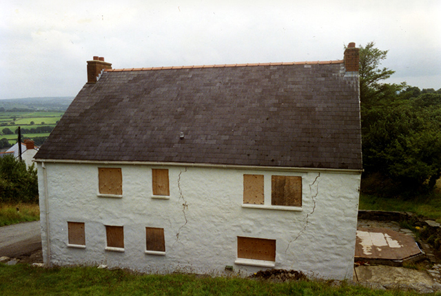
Cracks in a building caused by the 1994 landslide.
The back scar.
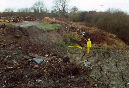
Large cracks formed in surrounding fields.
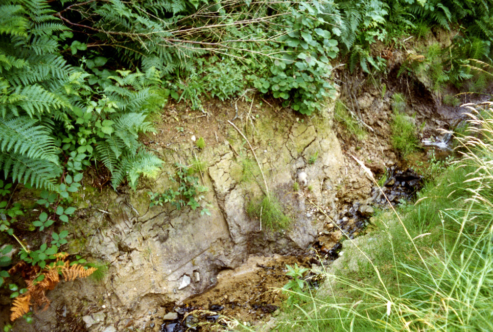
The back scar exposes the till.
Geology
The bedrock (solid) geology of this area comprises well-cleaved mudstones and sandstone beds of the Dinas Island Formation and Net Pool Mudstone Formation. Both formations are Ordovician in age (458–449 million years old).
Overlying this is a covering of Quaternary superficial deposits, which can be up to 30 m thick in places. These include thick, clay rich till, which may have contributed to the poor drainage on the slope. The till was derived from Irish Sea ice and comprises silty clay with a variable gravel component. The till is interbedded with sands and gravels in the higher ground above the landslide; these deposits can also be seen exposed in the backscarp.
You may also be interested in

Landslide case studies
The landslides team at the BGS has studied numerous landslides. This work informs our geological maps, memoirs and sheet explanations and provides data for our National Landslide Database, which underpins much of our research.

Understanding landslides
What is a landslide? Why do landslides happen? How to classify a landslide. Landslides in the UK and around the world.

How to classify a landslide
Landslides are classified by their type of movement. The four main types of movement are falls, topples, slides and flows.

Landslides in the UK and around the world
Landslides in the UK, around the world and under the sea.