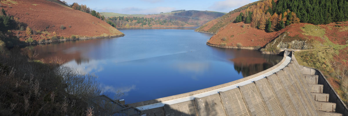
Water management
BGS Climate Change Products
This sector is subject to various potential climate change impacts that could have a range of effects, including on water levels, water quality and risk to infrastructure. Changing groundwater and aquifer levels, as well as aquifer capacity and vulnerability to pollutants, are some areas of interest. Furthermore, there will be ongoing alignment of the sector to Government guidance and legislation such as Defra’s 25-year plan to reform groundwater abstraction practices and the 2017 Water Framework Directive regulations (England and Wales).
Changes in surface erosion related to changing precipitation and temperature patterns and the potential impact on water quality poses another hazard of interest. Coastal inundation and saline contamination of the fresh water supply is also a concern. This sector has considerable infrastructure networks, both buried and on the surface, to consider as well.
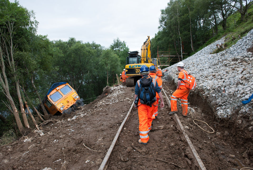
Our engagement with various water companies and stakeholders has highlighted river erosion, coastal erosion, landslides and ground movement as geohazards of concern to their water and sewage assets. All these geohazards are related to environmental processes that have the potential to be affected by changes in both longer-term climate and extreme event occurrence, such as extreme precipitation causing river and surface-water flooding. In addition to the datasets that BGS can already provide, we are keen to collaborate with stakeholders in this sector to ensure we can develop and provide the most useful information possible to assist in decision making.
Relevant BGS data products
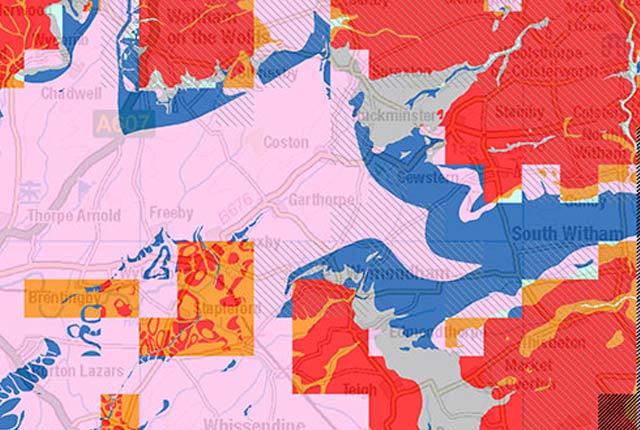
Aquifer designation data
The aquifer designation dataset reflects the importance of aquifers in England and Wales as a resource and their role in supporting surface water flows and wetland ecosystems.
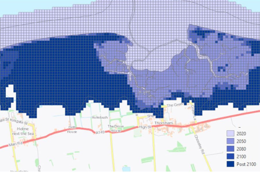
GeoCoast Premium
GeoCoast is an integrated GIS package of datasets designed to inform and support coastal management and adaptation.
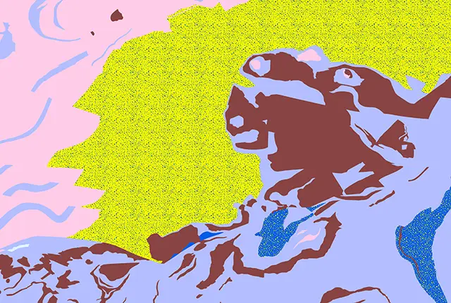
BGS GeoScour Premium
The BGS GeoScour datasets provide a generalised overview of the natural characteristics and properties of catchment and riverine environments for the assessment of river scour in Great Britain.

BGS GeoSure
The BGS GeoSure datasets identify areas of potential hazard and, therefore, potential natural ground movement, in Great Britain.
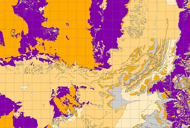
Groundwater vulnerability data
Our groundwater vulnerability maps provide an assessment of the vulnerability of groundwater in overlying superficial rocks and those that comprise the underlying bedrock.
Hydrogeological maps of Scotland
The BGS has produced a suite of hydrogeological maps of Scotland. The suite includes layers with groundwater vulnerability and aquifer productivity data.
Get in touch
We would love to hear from you! For more information or to send us your feedback about our digital data products, please email the digital data team (digitaldata@bgs.ac.uk).
Climate challenges and BGS support by sector
Extractive industries
Aimed at stakeholders involved in quarrying, mining and excavation of natural resources.

Insurance lenders
Targeted at stakeholders concerned with the changing financial risks to property and asset portfolios as a result of geohazard activity.

Planning and construction
Encompassing all stakeholders involved in the development and maintenance of the built environment, from planning applications to construction projects.
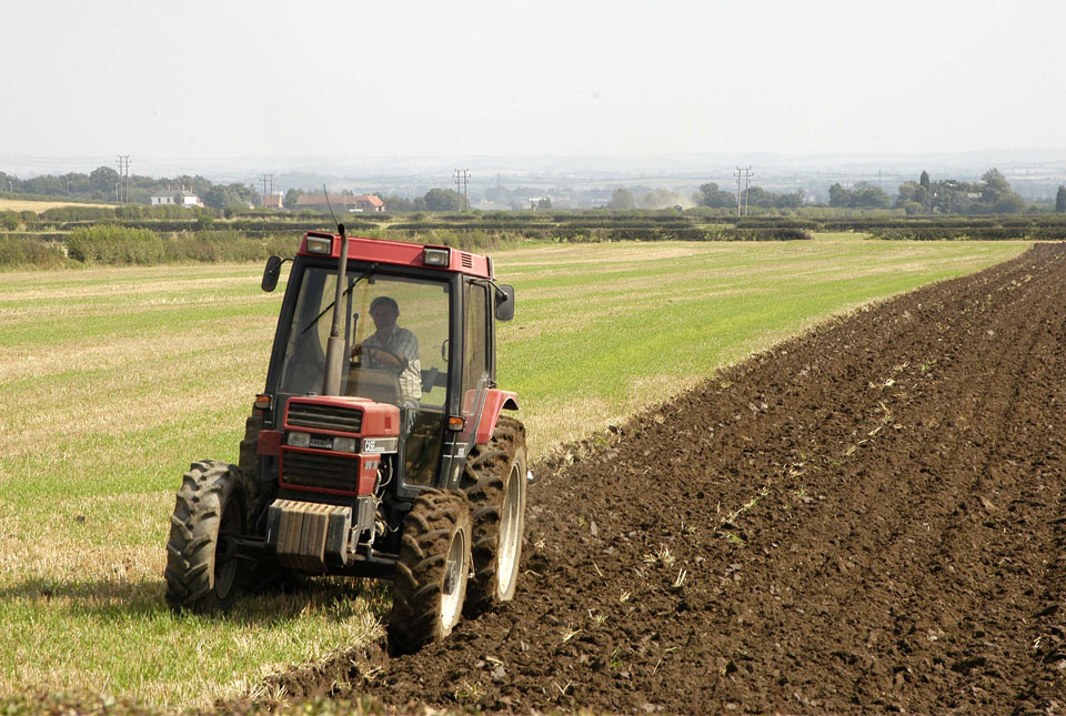
Soil and agriculture
For stakeholders with an interest in soil composition, health and productivity.
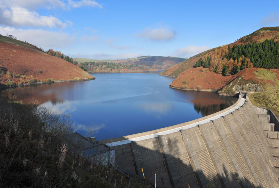
Water management
Aimed at stakeholders concerned with future changes to the quality and quantity of freshwater resources.