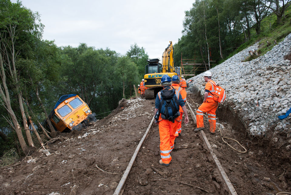
Planning and construction
BGS Climate Change Products

These sectors are beholden to regulations and standards, which are continuously evolving to consider climate change — for example UK Government Department for Levelling-Up, Housing and Communities; National House-Building Council (NHBC). Awareness of these regulatory requirements is key for BGS to develop products that allow users to easily interpret geohazard data in relation to these standards. Two important areas of interest relate to raw materials and geohazards.
Besides mitigation of risk for future developments, the maintenance of existing infrastructure is also of interest to this sector.
Relevant BGS data products
BGS Civils: strength
This theme provides information on zones of rock strength and the local factors controlling it, as part of a suite of GIS layers for different engineering parameters.
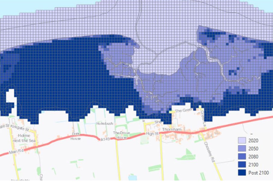
GeoCoast Premium
GeoCoast is an integrated GIS package of datasets designed to inform and support coastal management and adaptation.
BGS GeoScour Premium
The BGS GeoScour datasets provide a generalised overview of the natural characteristics and properties of catchment and riverine environments for the assessment of river scour in Great Britain.

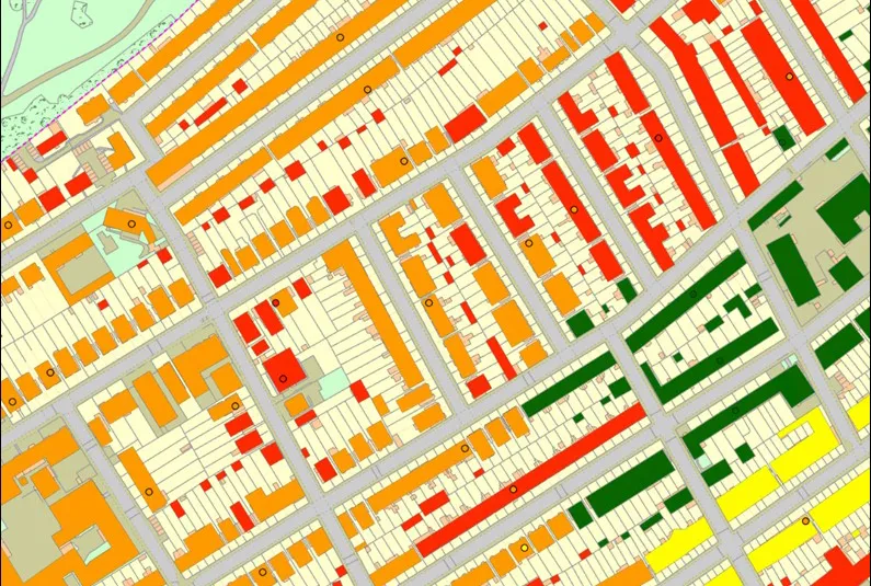
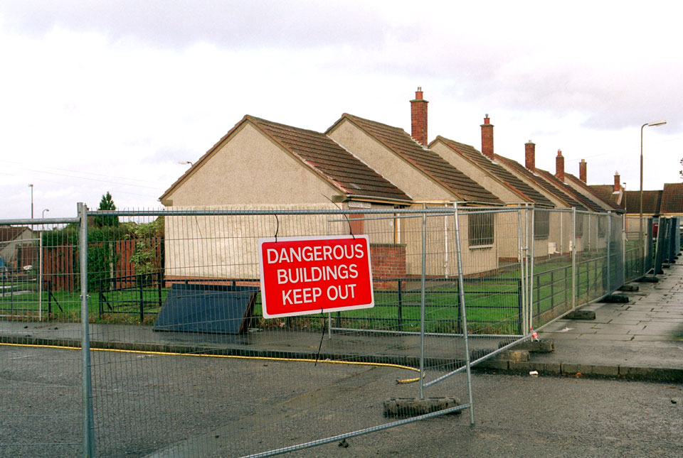
Mining hazard (not including coal) coverage
The mining hazard dataset provides essential information for planners and developers building in areas of former shallow underground mine workings.
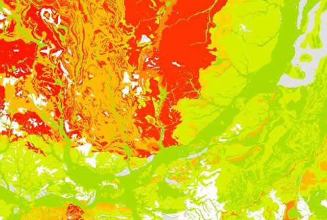
Property subsidence assessment
The BGS property subsidence assessment dataset uses a combination of best available geology, tree location and property information to provide property- and postcode-specific information on ground movement across England and Wales.
Get in touch
We would love to hear from you! For more information or to send us your feedback about our digital data products, please email the digital data team.
Climate challenges and BGS support by sector
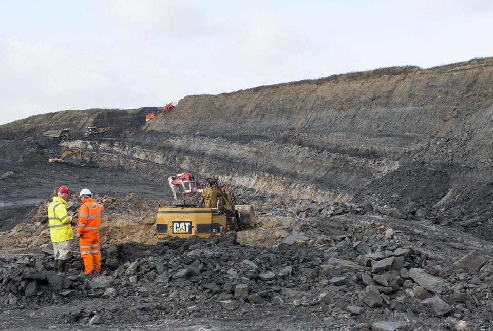
Extractive industries
Aimed at stakeholders involved in quarrying, mining and excavation of natural resources.
Insurance lenders
Targeted at stakeholders concerned with the changing financial risks to property and asset portfolios as a result of geohazard activity.
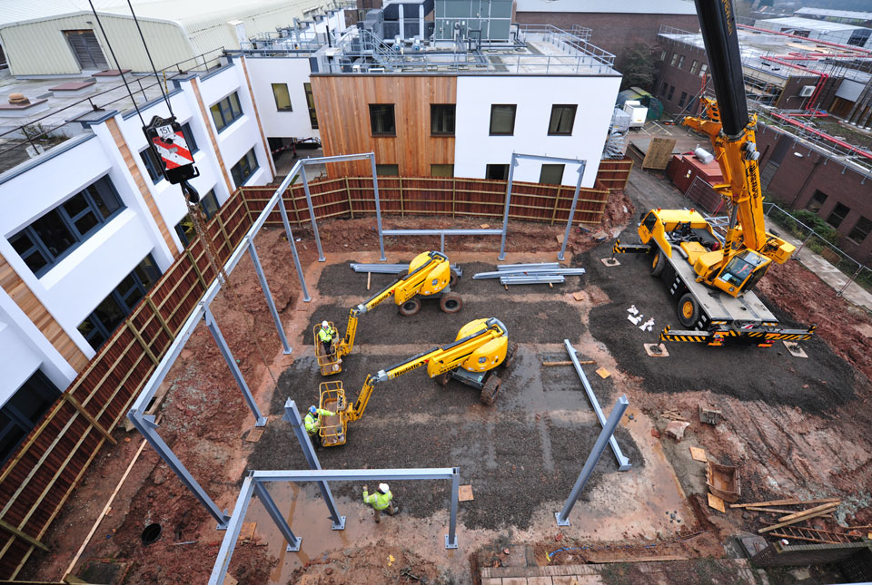
Planning and construction
Encompassing all stakeholders involved in the development and maintenance of the built environment, from planning applications to construction projects.
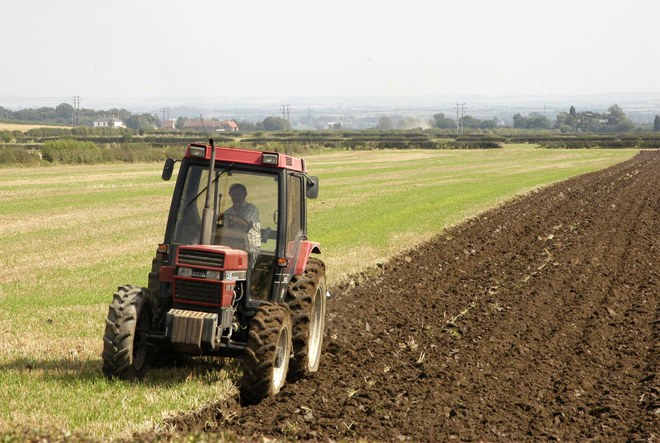
Soil and agriculture
For stakeholders with an interest in soil composition, health and productivity.
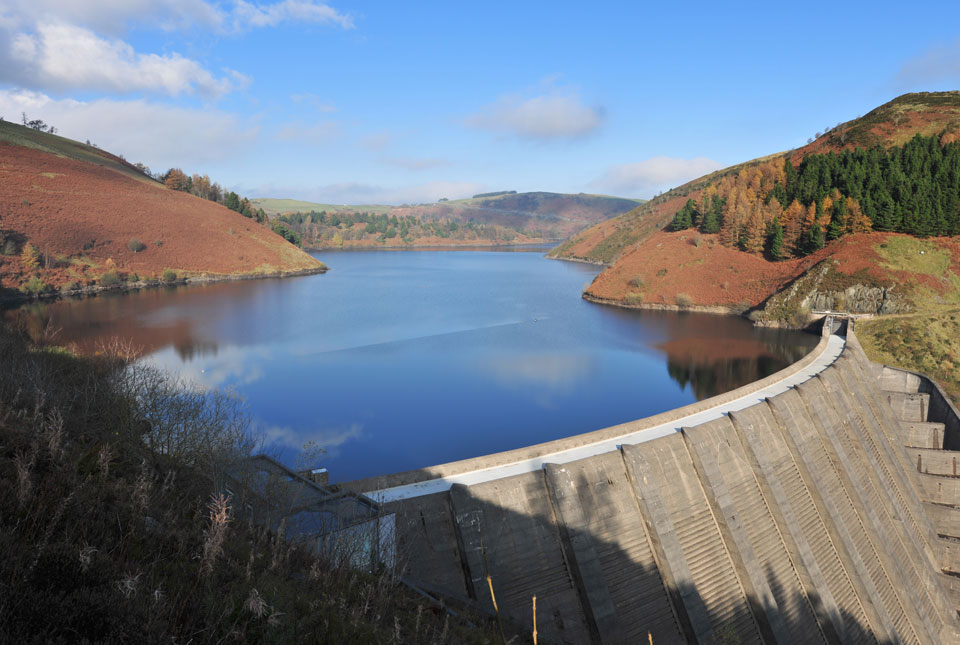
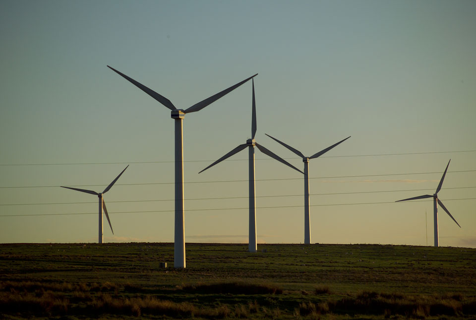
Water management
Aimed at stakeholders concerned with future changes to the quality and quantity of freshwater resources.