

New project mapping UK Continental Shelf provides boost to offshore infrastructure and development
BGS is leading a three-year project funded by The Crown Estate to develop a new suite of seabed geology datasets and reports, providing crucial information for offshore developers about the seabed around the UK.
22/10/2026 By BGS Press

The UK’s seabed plays a vital role in promoting economic growth, enabling the transition to net zero and supporting diverse marine habitats. Seabed and subsurface geological data provide the important evidence needed to plan and support offshore renewable energy, marine conservation and subsea infrastructure development.
BGS is leading a new joint-industry project on behalf of The Crown Estate to develop a new suite of national-scale seabed geology and shallow subsurface datasets that will provide essential information across multiple marine sectors, including offshore renewables, linear assets and environmental management.
The project will also provide geoscientific evidence to The Crown Estate’s innovative Marine Delivery Routemap which is due to launch next year. With demand upon the UK’s seaspace increasing, Marine Delivery Routemap is a new digital tool designed to dynamically model and map potential use scenarios and opportunities for the seabed and coastline around England, Wales and Northern Ireland over the coming decades.
The project, ‘Seabed Geoscience for Marine Planning’ (Seabed GeoMaP), will deliver new knowledge and information about the seabed and shallow subsurface across the UK Continental Shelf (UKCS). Over the next three years, the project will develop national-scale seabed datasets that will cover themes such as seabed geomorphology, Quaternary sediment thickness, sediment variability, submarine landslides and the likelihood of seabed change.
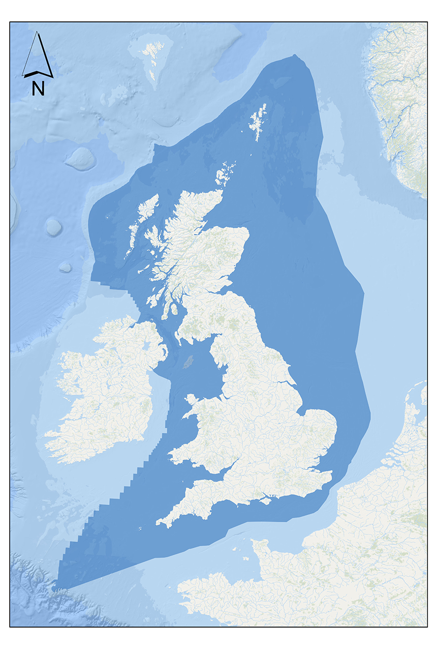
The study area of the Seabed Geoscience for Marine Planning project. BGS © UKRI.
The deliverables have been based on feedback gathered from the marine community during a stakeholder consultation in 2024, which included more than 80 responses representing 60 different organisations.

Acquiring and integrating high-quality geoscience data is fundamental to our approach to multi-sector seabed spatial optimisation. Through this collaboration with BGS, we’re combining extensive existing datasets with advanced analytics to strengthen the evidence base for decision-making, helping to support safe and sustainable offshore development.
Michael Blair, Lead Engineering Manager, The Crown Estate.
This project will support the spatial optimisation capabilities of our Marine Delivery Routemap tool and allow us to bring to the market optimised, lower-risk project opportunities, driving value for the nation through considered use of the seabed to support positive outcomes for nature, energy, infrastructure and jobs.
Olivia Thomas, Head of Planning & Technical, The Crown Estate.
Over the next three years, BGS scientists will combine existing geological information and marine survey data with extensive mapping experience and new analytical techniques to develop the datasets. They will provide an upfront understanding of seabed characteristics, geological hazards and shallow subsurface conditions across the UKCS, to support stakeholders across multiple sectors in their early-stage planning decisions.
We are delighted to be working with The Crown Estate on this project, which represents an important step forward to better understanding the UK’s seabed and shallow subsurface. During the scoping phase, we received valuable input from across the marine community and we hope that the datasets will be a useful resource for a wide range of stakeholders.
Andrew Finlayson, head of BGS Marine Geoscience.
Once complete, the datasets will be available on the Marine Data Exchange, created by The Crown Estate, as well as the BGS GeoIndex.
Related news
New project mapping UK Continental Shelf provides boost to offshore infrastructure and development
22/10/2026
BGS is leading a three-year project funded by The Crown Estate to develop a new suite of seabed geology datasets and reports, providing crucial information for offshore developers about the seabed around the UK.
The Lyell Centre celebrates 10 years of world-leading earth and marine science research
07/09/2026
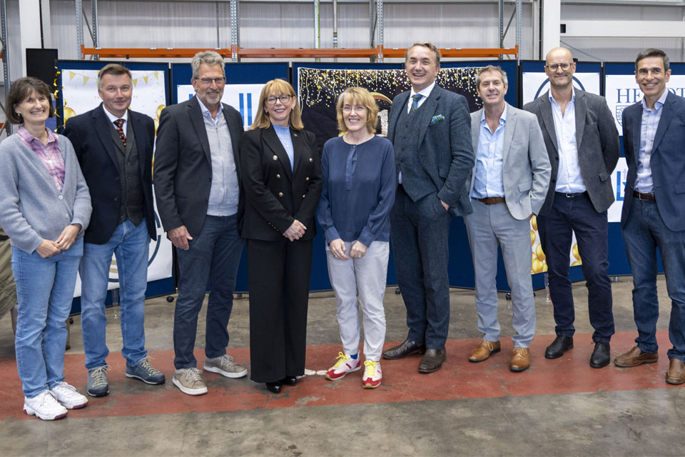
The Lyell Centre for Earth and Marine Sciences, a strategic partnership between Heriot-Watt University and BGS, is celebrating its 10th anniversary, marking a decade of world-leading research, innovation and collaboration in earth and marine sciences.

Demand for data centres presents challenges and opportunities for UK critical mineral supply chains
02/09/2026
Government-backed research finds that vulnerabilities in raw material supply chains must be addressed to secure the critical minerals needed to expand the UK’s digital infrastructure and boost economic growth.
MaxStoreUK hydrogen geological storage policy roundtable
Event on 08/10/2026
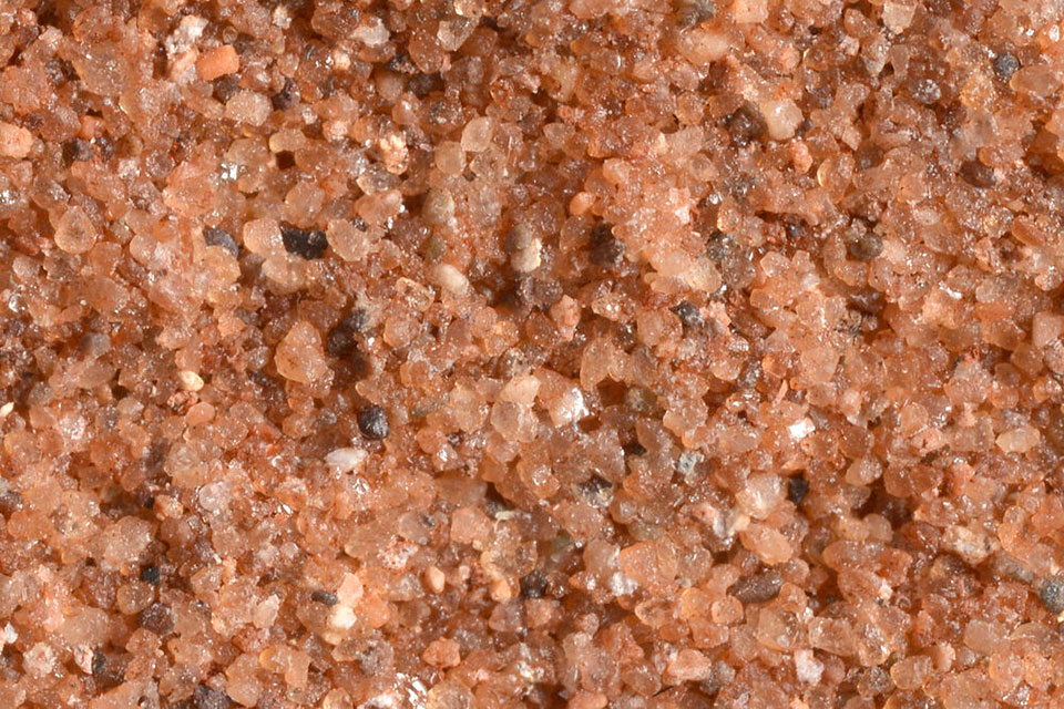
Storage operators, regulators, licensor and Government stakeholders are invited to join our roundtable discussion of hydrogen geological storage policy.
Coastal retreat in the past: the legacy of truncated drumlins
07/08/2026
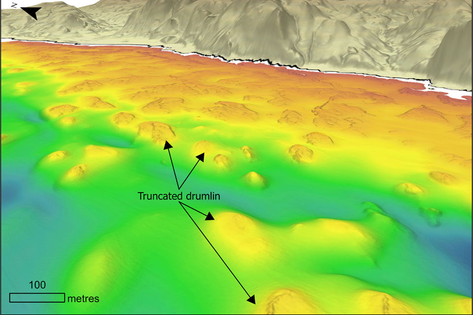
The UK’s coasts have been responding to changing sea levels for thousands of years, but some of the best evidence of those changes now lies hidden beneath the waves.
BGS strengthens scientific links with Icelandic partners through Research and Innovation Scotland initiative
06/08/2026
BGS researchers recently visited Iceland as part of a project developing international partnerships and identifying opportunities for future collaborative research.
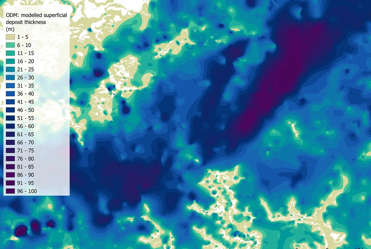
Updated national 3D model will determine the depth to the solid bedrock beneath our feet
13/07/2026
The BGS Superficial Deposit Thickness Model now includes an elevation model of geological rockhead for the first time, providing important data for civil engineers, geoscientists and environmental scientists.
Cheshire Geoenergy Observatory releases key geological datasets for UK thermal energy storage scheme design
09/07/2026
A new report and data packs from BGS will provide a unique resource for scientists working on the geology and hydrogeology of the Sherwood Sandstone Formation, an important aquifer and reservoir rock.

Geological research in North Sea helping to safeguard subsea cables
06/07/2026
Subsea power and telecommunications cables are critical to the UK’s energy infrastructure and global connectivity, yet they remain vulnerable to damage from ship anchors, fishing activity and natural hazards.
UK and Philippines scientists investigate natural hydrogen generation processes at atomic scale
22/06/2026
BGS researchers were granted access to use the Diamond Light Source facility in order to study hydrogen in light brighter than the sun.
Shortage of end-of-life materials presents challenge to UK critical minerals security
17/06/2026
A new report by the UK Critical Minerals Intelligence Centre reveals insufficient end-of-life material stocks present a supply risk over the coming decade, but offer significant long-term potential to meet critical mineral demand through recycling.
UK geothermal catalogue receives update
16/06/2026
BGS releases the second digital version of the UK geothermal catalogue of subsurface temperature and rock thermal conductivity measurements and heat flow calculations.