Relative topics
53 results for "maps and models"
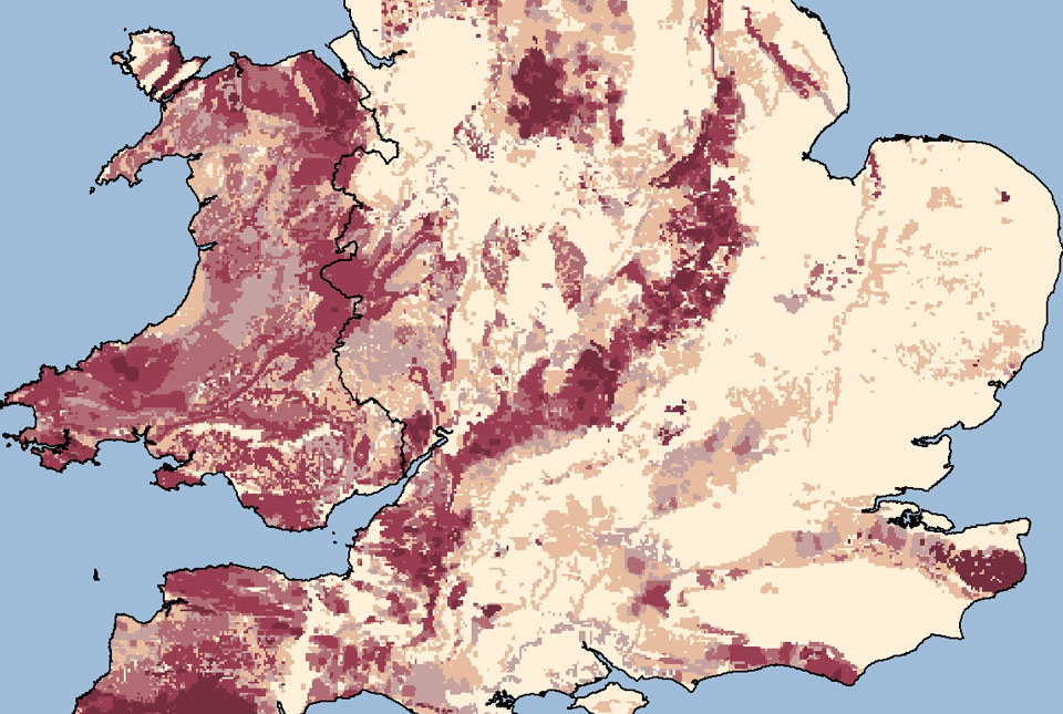
Updated radon map for Great Britain published
The UK Health Security Agency and BGS have published an updated radon potential map for Great Britain.

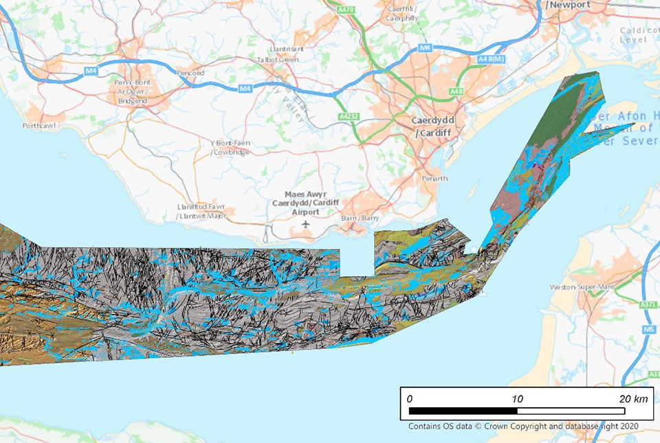
New geological map of offshore Anglesey released
BGS has released a new fine-scale digital map featuring the seabed geology of offshore Anglesey (Ynys Môn).
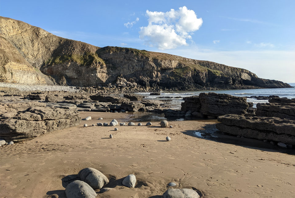
New seabed maps offer a window into the distant past
BGS has begun publishing a new series of high-resolution offshore geological maps showing the distribution of bedrock and sediments that make up the seabed around our coasts.
BGS joins the UK Centre for Seabed Mapping to raise data and mapping standards
BGS is the latest UK Government organisation to join the newly unveiled UK Centre for Seabed Mapping, helping to boost marine data and mapping standards.
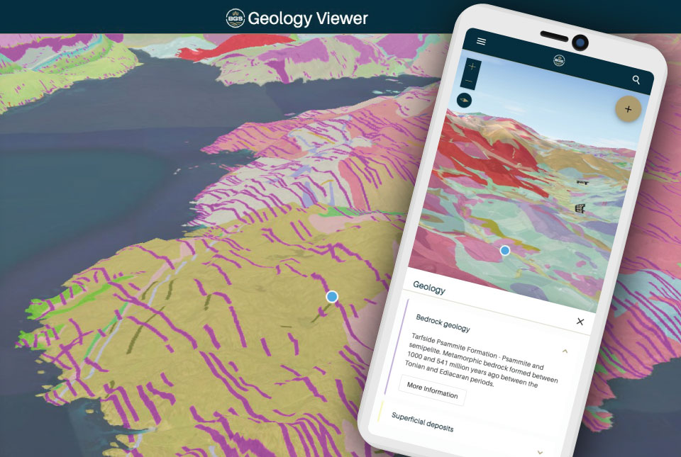
BGS launches new Geology Viewer
A new app providing easy access to the subsurface of Britain has been released by BGS.
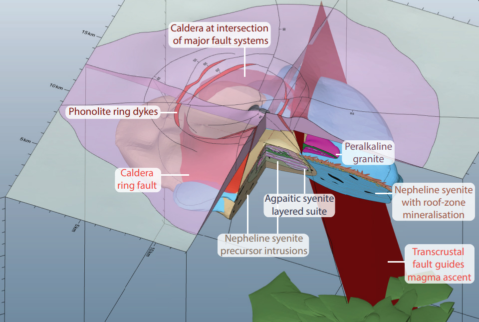
New 3D model will help guide exploration for rare earth element deposits in alkaline igneous systems
A team of scientists and institutions across Europe have developed a new 3D geological model designed to guide exploration for rare earth elements.
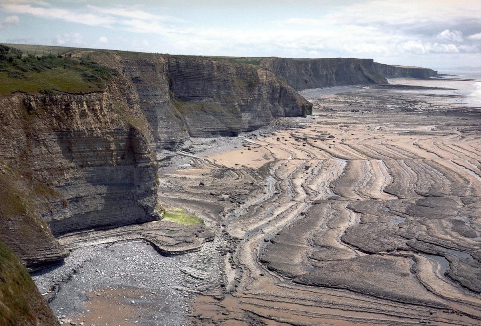
BGS releases first in a series of new offshore maps of the UK seabed
BGS has released the first high-resolution, offshore map in a new series featuring the seabed around the UK.
Soil maps could hold the key for urban planning
Research by BGS has developed a predictive model to evaluate levels of bioaccessible contaminants in urban soils and their relationship with the underlying geology and former industrial land use.