

Relative topics
64 results for "maps and models"
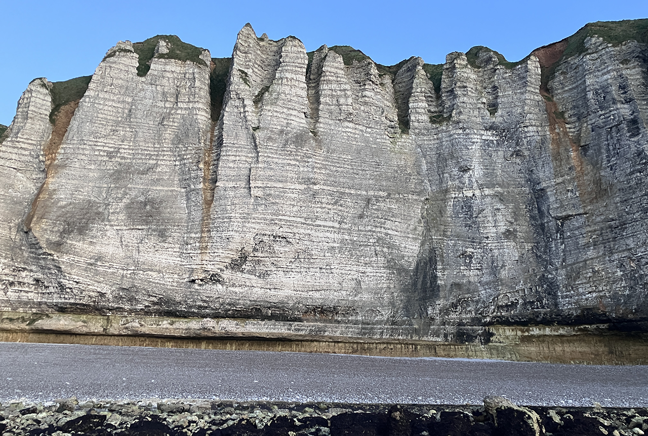
Geology sans frontières
Geology doesn’t stop at international borders, so BGS is working with neighbouring geological surveys and research institutes to solve common problems with the geology they share.
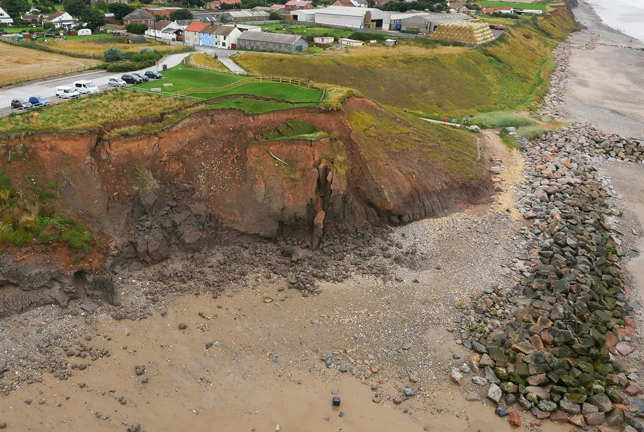
What does the next generation of coastal environmental models look like?
A new tool is now available that has been designed to help coastal engineers and practitioners better manage the compound risk of coastal erosion and flooding.
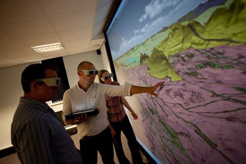
Celebrating 20 years of virtual reality innovation at BGS
Twenty years after its installation, BGS Visualisation Systems lead Bruce Napier reflects on our cutting-edge virtual reality suite and looks forward to new possibilities.
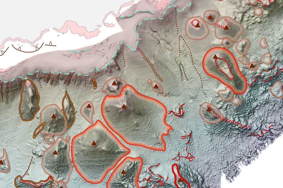
New seabed geology maps to enable long term conservation around Ascension Island
BGS deliver the first marine geology and habitat maps for one of the world’s largest marine protected areas.
BGS announces new director of BGS National Geoscience
BGS announces its new director of BGS National Geoscience.
BGS Geology 625K
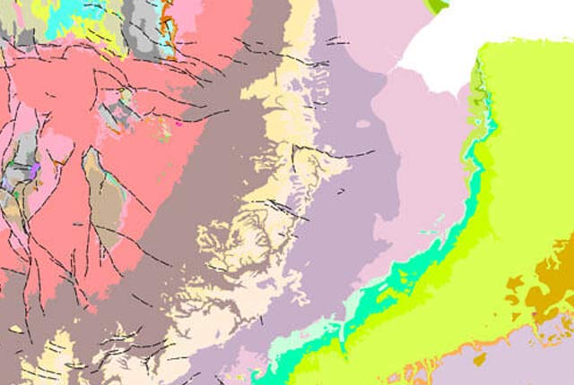
This generalised digital geological dataset is based on our published ‘poster’ maps of the UK (north and south). This dataset covers all of Great Britain and includes additional map data from Northern Ireland. It provides an excellent national overview of the UK’s geology and is commonly used as a teaching resource.
What lies beneath Liverpool?
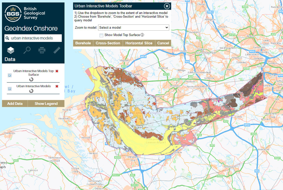
The geological secrets lying under the surface of Liverpool and Warrington have been unveiled for the first time in BGS’s 3D interactive tool.
New hazard maps set to help safeguard UK offshore energy industry
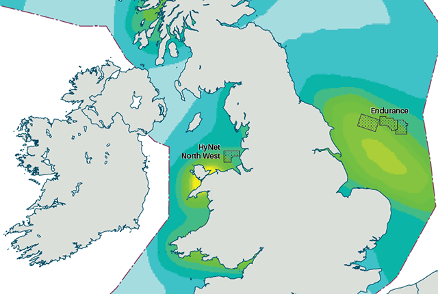
Essential geological model detailing seismic hazard published as the pursuit of new renewable energy infrastructure intensifies.