Relative topics
76 results for "geohazards"
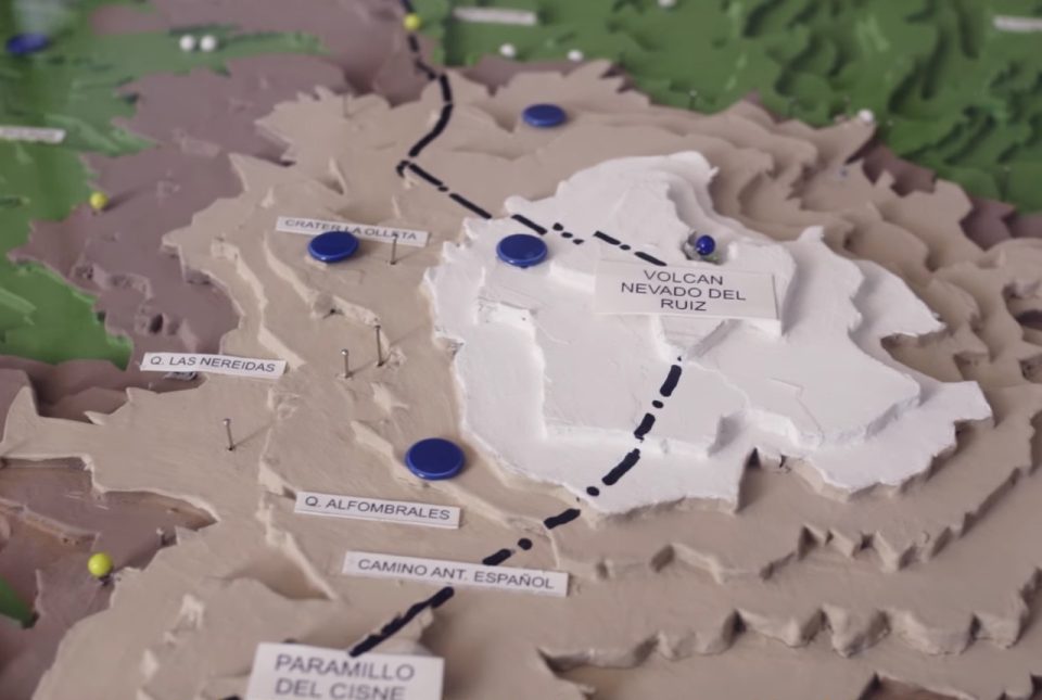
Film trilogy wins award and shares experiences of 1985 Nevado del Ruiz eruption
A collaborative film trilogy co-directed by BGS Volcanologist, Dr Anna Hicks, has won the overall 'Dynamic Earth' Theme Award at the Earth Futures Festival 2022.
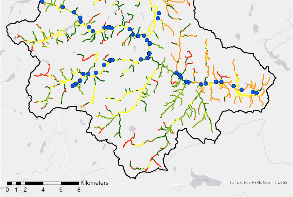
BGS GeoScour: bridging the river erosion data gap
The geological properties of bedrock and superficial deposits that make up riverbeds and banks are fundamental controls on the susceptibility of any given river reach to scouring.
Citizen science: become part of a real-time Global Landslide Detector
BGS and partners are trialling a new social media tool that detects worldwide landslides in real time.
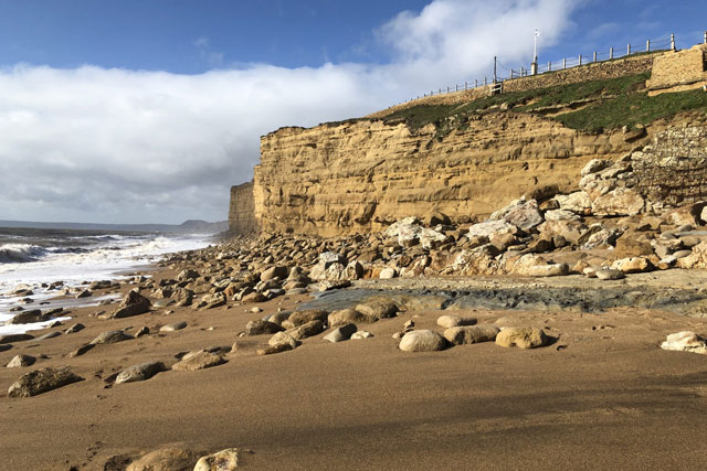
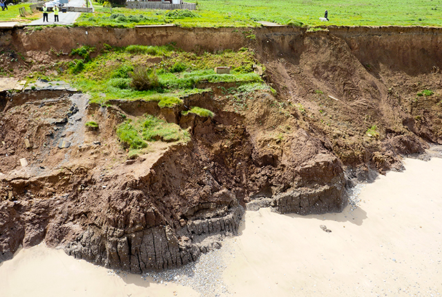
Increased risk to the public from rockfalls as a result of the forecasted heatwave
Take notice of warning signs and avoid going directly under or on top of cliffs, no matter how tempting it might be.
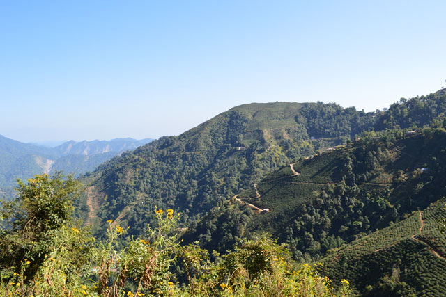
Developing regional-scale landslide forecasting in hazard-prone regions of India
BGS has been involved in co-developing a prototype regional-scale landslide forecasting system in two hazard-prone districts of India.
Mining hazard data (not including coal) from BGS
Great Britain has over 250 000 documented mining sites and the underground voids resulting from past mining activity pose a possible hazard. Knowledge of the distribution of former mining areas will help us to plan for future development and ongoing maintenance.
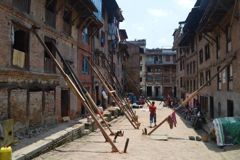
Using satellite imagery for emergency disaster response
BGS has a long history of assisting relief efforts by providing satellite maps, data and interpretation to those affected by disasters, helping to identify hazardous areas to avoid.
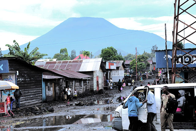
Spaceborne data: an expanding role in disaster response
Alessandro Novellino explains the importance of Earth observation to help facilitate successful emergency responses after natural hazard occurrences.