Sinkholes and karst research
BGS Research
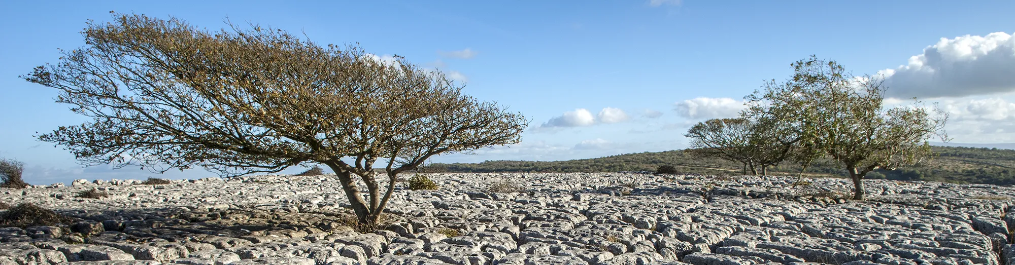
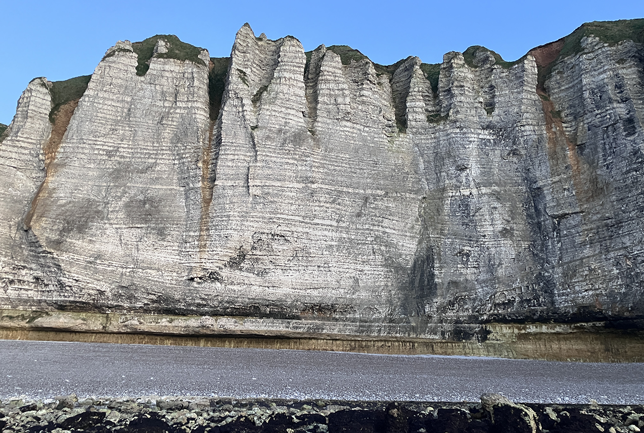
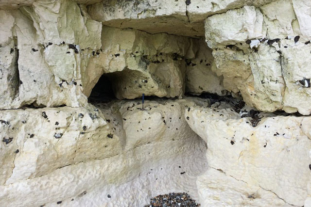
‘Karst’ is a geomorphological term applied to the landscape that results from the dissolution of soluble rocks, such as the characteristic limestone pavements of the Pennines. Research at the BGS extends beyond the distribution and processes associated with sinkhole formation to the broader subject of karst in general.
We maintain a number of databases that relate to karst, including a database of sinkholes and the National Karst Database. The National Karst Database has recorded over 10 000 sinkholes on the completed desk study research areas.
Understanding the nature and distribution of karst is important both for engineering geology and hydrogeological applications, as well as understanding landscape evolution. Specific challenges for engineering geology include:
- characterising the variation in depth to rockhead resulting from variable rates of dissolutional lowering of rockhead
- determining the extent of subsurface voids
- determining the position of the groundwater table
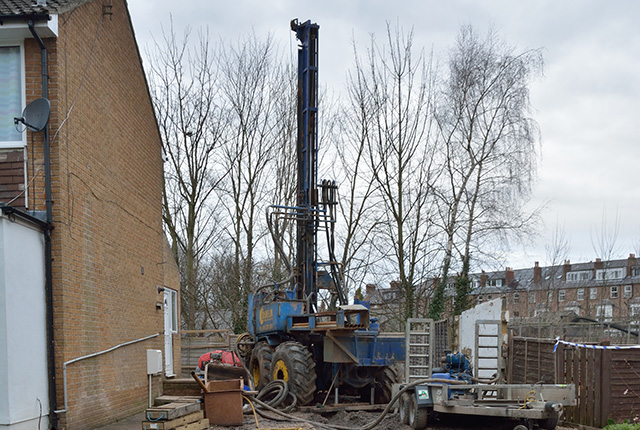
Usually, the hazards associated with karst can be mitigated by through planning, good site investigation (with geophysics and boreholes), appropriate design and proper maintenance of infrastructure such as drains and services. Care is required when installing any structures that could affect the local groundwater flow or groundwater levels, including soakaways (sustainable drainage systems or SuDs) and open-loop ground-source heat pumps. these may be impractical on soluble rocks in some places.
Reflecting this, there is a strong collaborative approach to BGS research. Karst research draws public science funding, grant funding and commercial income to investigate a range of research activities including:
- karst susceptibility
- domain-based karst characterisation and responsive visits to provide information for a range of stakeholders (including for emergency response)
- chalk karst and its influence on groundwater resources
- engineering geology associated with salt karst
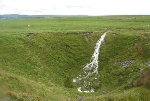
- the extent and distribution of gypsum karst, e.g. Ripon, UK
- the influence of karst on groundwater and engineering in a range of limestone formations
- landscape evolution and the dating of speleothems
- weakly karstic aquifers
- cave research and conservation
- Ensure that areas and a safety perimeter are cordoned off and keep people away.
- Notify the landowner and/or emergency services as appropriate.
- If services pipes (e.g. gas or water) are left suspended, ensure that infrastructure managers are contacted, e.g. Safety and emergencies (National Grid) and Emergencies (United Utilities).
- Ensure that any triggering processes (e.g. leaking drains) are managed to minimise the potential for ongoing subsidence.
- Contact your local council/building control to notify them; find out if there is a history of such features in the area and request a list of consulting engineers that are able to give appropriate advice on the correct procedures for stabilising them.
- The BGS can be approached for more information on sinkholes or read our specific homeowner advice. We may also be interested in recording the event in our sinkhole database.
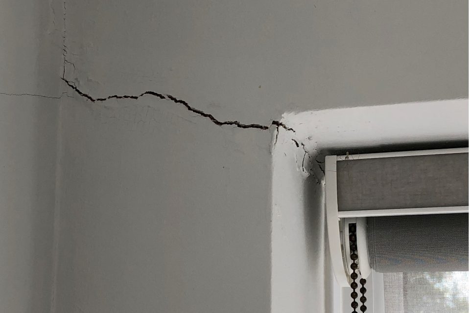
If the concern is about whether a sinkhole is developing on a specific property, monitor any suspect depressions, check that there are no obvious potential triggering mechanisms, e.g. leaking pipes, check for any associated cracks in adjacent buildings and seek guidance from your council/building control.
Visit our Discovering Geology pages for more information on:
Find out more about our research
Planning and development in Ripon
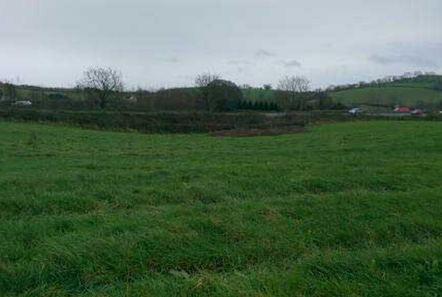
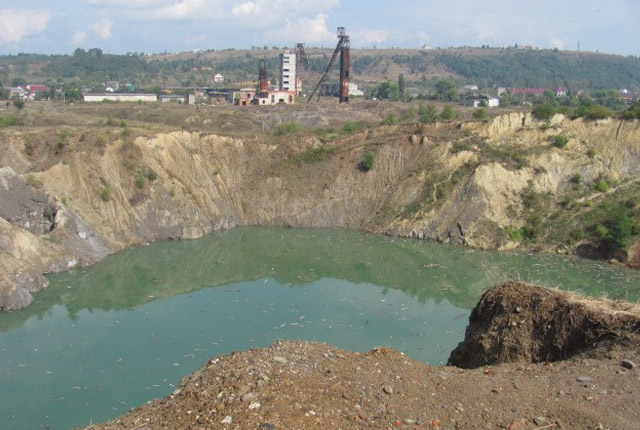
The presence of unstable ground can have a profound effect on the planning and development of an area such as Ripon in Yorkshire.
Karst in Caton, Devon
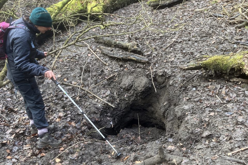
A sinkhole formed adjacent to the northbound carriageway of the A38 at Caton, Devon, in 2014 and a BGS responsive team went to study it in June 2016.
Sinkholes increase 2014
Did the storms during the 2013 to 2014 winter season lead to an increase in sinkhole occurrence?
Understanding sinkholes and karst
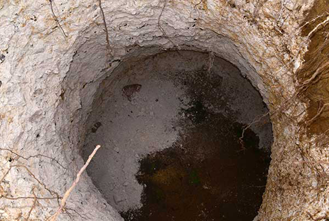
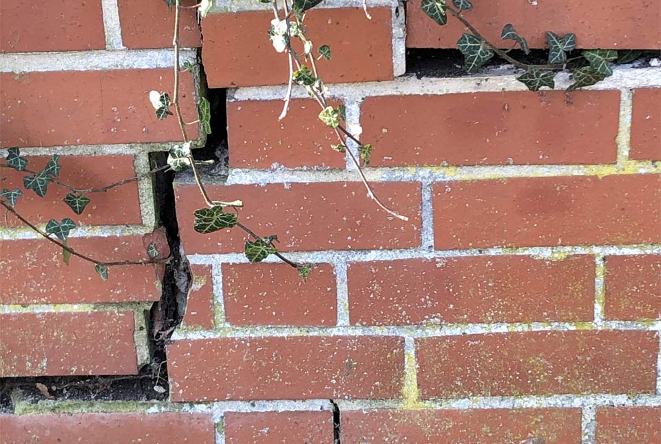
Sinkholes are hollows that are the result of some kind of collapse of an underlying layer of rock.
Sinkhole case studies
Ripon sinkhole November 2016 case study
A multi-skilled responsive team of BGS scientists investigated a sinkhole in Ripon, Yorkshire, in November 2016.
Ripon sinkhole February 2014 case study
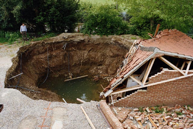
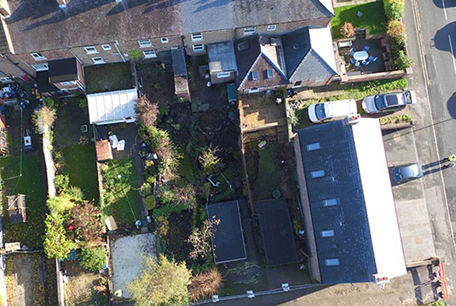
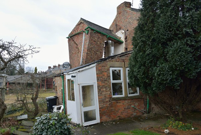
Partial collapse of a house in Ripon, Yorkshire, in 2014 was due to the formation of a sinkhole resulting from the dissolution of thick gypsum deposits beneath the area.
Hazard response: Solotvyno sinkhole case study
The BGS contributed to an advisory mission in Solotvyno, Ukraine, to investigate pollution linked to the Solotvyno salt mine complex.

Hole-y c*@p! How bat excrement is sculpting Borneo’s hidden caves
23/12/2025
BGS researchers have delved into Borneo’s underworld to learn more about how guano deposited by bats and cave-dwelling birds is shaping the subsurface.
Geology sans frontières
24/04/2025
Geology doesn’t stop at international borders, so BGS is working with neighbouring geological surveys and research institutes to solve common problems with the geology they share.
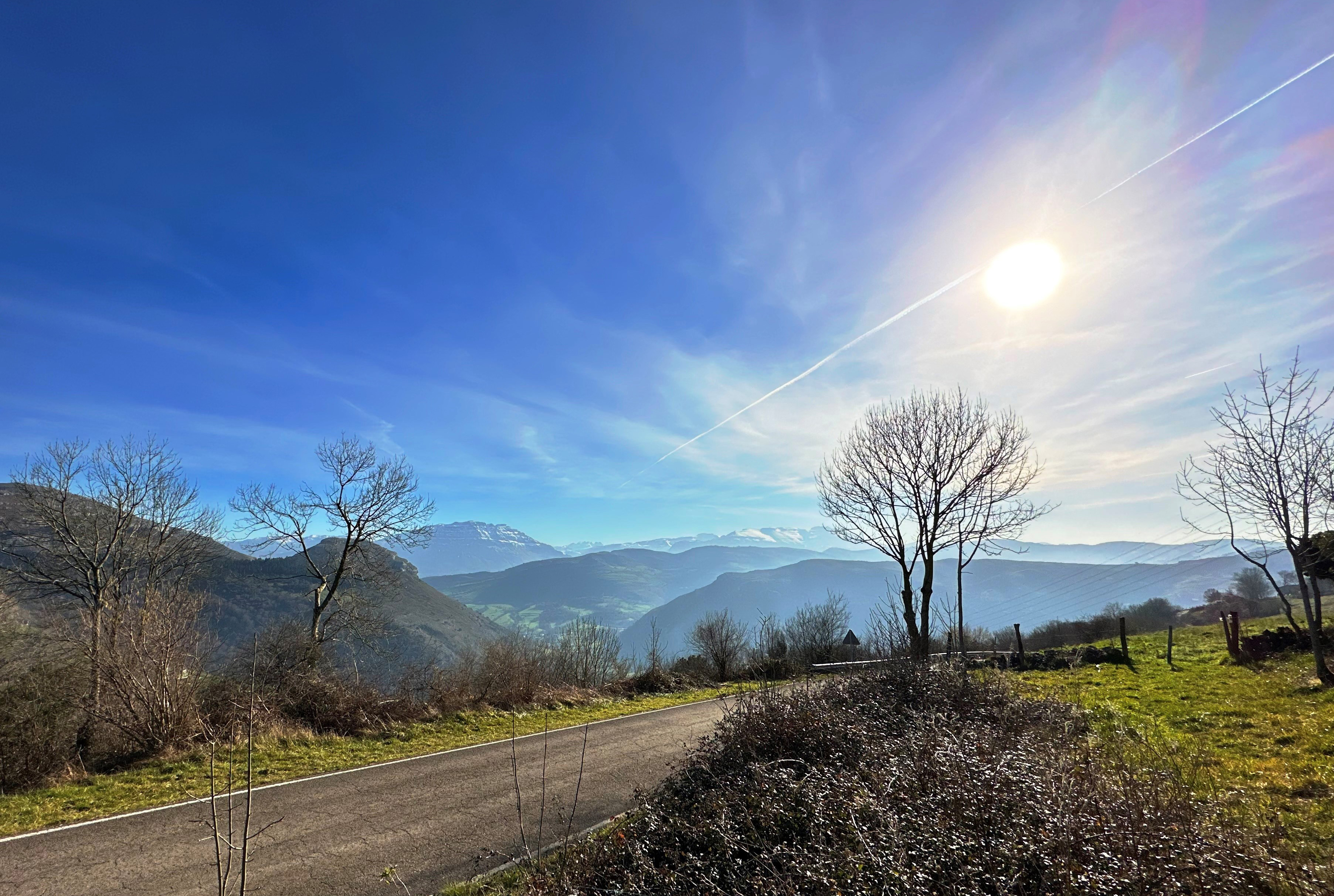
Extracting formation temperatures from stalagmites
14/08/2024
BGS’s Andrew Smith explores the karstic depressions of northern Spain in the quest to create a palaeothermometer.
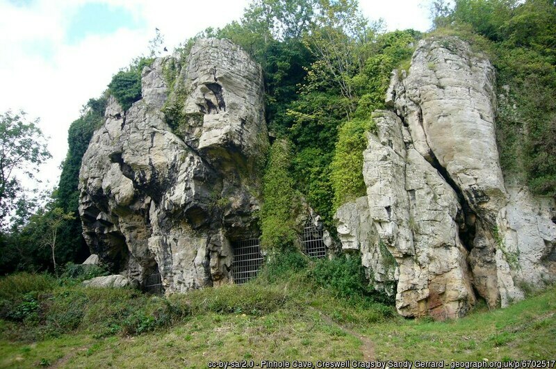
Creswell Crags Museum collections offer insight into the past and future of wolves
12/07/2024
Bones found at the site are helping scientists to understand the diet of wolves and how they differ over time.
New BGS karst report released for Hampshire and Wiltshire
10/03/2023
The report details the evidence for karst processes in areas of soluble rocks that have not previously been considered karstic.
Six BGS datasets for assessing shrink–swell subsidence hazards
17/02/2023
Shrink–swell subsidence is one of the most significant geological hazards affecting the UK. BGS has six datasets to help assess the problem.

Property subsidence assessment: helping to mitigate shrink–swell hazard risk
25/01/2023
The BGS Property Subsidence Assessment dataset provides insurers and homeowners with tools to better understand shrink–swell and the risk it poses to homes and businesses.
New research reveals fresh insights into the role of karst in the Chalk aquifer
20/12/2021
New research has thrown fresh light on what scientists understand about the role of karst in the Chalk aquifer, which provides public water supplies to millions of people, agriculture and industry, and sustains vital habitats.
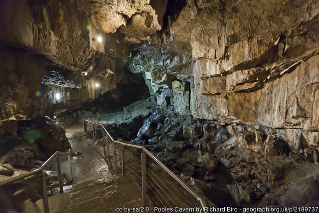
Phosphorus in caves: a new methodological development being pioneered at Poole’s Cavern with the help of BGS
30/09/2021
Alistair Morgan is exploring how phosphorous enters cave systems and if stalagmites could be used to unravel past temperatures.
Six ways to prepare your home for climate change related subsidence
19/05/2021
Subsidence caused by shrinking and swelling of the ground can lead to financial loss. How can you mitigate against it?
GeoClimate UKCP09 and UKCP18
BGS has developed a suite of products, including maps and data, which show potential change in subsidence due to UKCP climate change scenarios
GeoClimate UKCP09 Premium
Based on medium emissions scenario, provides five levels of susceptibility for average, wetter and drier climate conditions for the time-period envelopes of 2020, 2030, 2040, 2050 and 2080 at the 1:50 000 area polygons scale.