The optimisation of plutonium separation
BGS research leads to advancements in the detection of plutonium and ultimately the determination of soil erosion rates in tropical soils.
07/11/2023 By BGS Press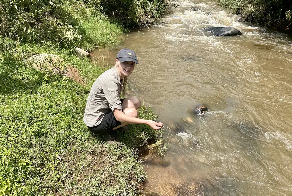

Soil erosion processes present the greatest risk to land degradation worldwide and, due to fertile soil being an essential resource, there is increasing concern around the world regarding accelerated soil erosion, particularly in developing countries.
The analysis of plutonium (Pu) in soil samples can inform the understanding of soil erosion processes globally. However, there are specific challenges associated with such analysis in tropical soils, so an optimal analytical methodology that ensures the best sensitivity is critical.
Why use plutonium?
Due to their long retention times and minimal spatial variability, Pu isotopes have proven useful as an alternative fallout radionuclide tracer for determining soil erosion rates. To utilise Pu as an effective soil erosion tracer in the southern hemisphere, separation techniques and analyses need to be optimised to establish a robust analytical method for the determination of ultra-trace level Pu isotopes. This method must also have sufficient sensitivity for African soil samples, which typically have very low Pu concentrations compared to the northern hemisphere.
This research aimed to accurately establish fallout Pu activity concentrations in tropical soils in order to determine soil erosion rates with an improved separation and analysis method for ultra-trace Pu determination. To achieve this aim we had to:
- adapt and optimise a separation method using trialkyl methylammonium nitrate (TEVA) cartridges to remove matrix interferences with pre-concentration of ultra-trace Pu isotopes (this reduced waste and increased throughput)
- establish a robust analytical method for the determination of ultra-trace level Pu isotopes with sufficient sensitivity for African soil samples using oxygen as a reaction gas for inductively coupled plasma mass spectrometry (ICP-MS)

The development of robust analytical methods to determine rates of soil erosion and its effect on land degradation is vital to advise mitigation strategies, ultimately ensuring the future sustainability of soils.
Sophia Dowell, PhD student at BGS.
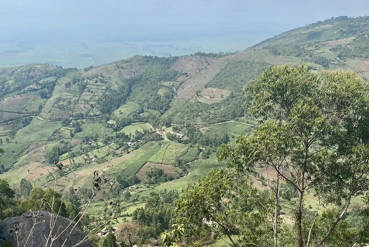
Views from the research area in Kenya. BGS © UKRI.
Where does the plutonium come from?
Pu is present in the environment primarily because of nuclear weapons testing. Between 1945 and 1980, 520 atmospheric tests were conducted worldwide; however, only 10 per cent of these experiments were conducted in the southern hemisphere. This resulted in significantly less fallout in the tropics than in the mid-latitudes of the northern hemisphere, which makes the analysis of ultra-trace Pu isotopes in tropical soils challenging.
The challenge of plutonium analysis
Due to their long retention time and minimal spatial variability, Pu isotopes have recently been used as an alternative fallout radionuclide tracer for determining soil erosion rates. As a result of the long half-lives of 239Pu and 240Pu (24 110 and 6561 years, respectively), approximately 99 per cent of the original activity remains in soils. This means they are suitable as stable, long-term tracers compared to, for example, 137 caesium (Cs), despite Cs’s significantly higher activity in the environment, as Cs only has a half-life of 30 years. Additionally, more than six times as many atoms of 239Pu and 240Pu were initially dispersed compared to 137Cs. This combination of long half-life and higher atom content makes mass spectrometry (MS) techniques better suited to Pu isotopes, whereas radiometric decay counting techniques are more appropriate for the higher specific activity 137Cs.
Consequently, recent developments in mass spectrometry techniques have the potential to increase the sensitivity of Pu isotope quantification and subsequently the availability of analytical methods applicable to tropical soils. This raises the potential of using Pu as a soil erosion tracer in the tropics, where the risk of soil degradation is increasing due to extreme weather patterns.
A powerful tool
This method presents a simple, cost-effective, robust sequence with reduced laboratory waste disposal, which is vital to ensure the separation method is applicable to low-resource laboratories. Along with the low detection limits that are comparable to alternative MS methods, this outcome makes the method applicable to the detection of ultra-trace fallout Pu in African soils.
Due to increasing concern regarding accelerated soil erosion and its impact on sustainable intensification of agriculture in developing countries, this work provides advancements in the detection of Pu. The new method is also a powerful tool for the analysis of ultra-trace Pu in African soils, ultimately improving the determination of soil erosion rates in tropical soils to better inform mitigation strategies.
This method has the potential to improve access to advanced soil erosion measurements that could be produced faster than traditional laboratory techniques to enable analyses at scale, yet with greater accuracy than machine learning predictions based on remote sensing data in developing countries which are most at risk to land degradation.
Sophia Dowell, PhD student at BGS.
Funding
BGS led the research in conjunction with the University of Plymouth and the University of Eldoret in Kenya.
Sophia’s PhD was supported by the NERC funded ARIES doctoral training programme (grant number NE/S007334/1), and from the NERC International National Capability grants to BGS (NE/R000069/1 and NE/X006255/1), Royal Society International Collaboration grant (ICA/R1/191077), British Academy (WW21100104) and BGS University Funding Initiative (GA/19S/017).
More information
The full research paper is available: Optimisation of plutonium separations using TEVA cartridges and ICP-MS/MS analysis for applicability to large-scale studies in tropical soils.
The British Geological Survey (BGS) is a world-leading geological survey that undertakes strategic science for the benefit of society. BGS is part of UK Research and Innovation (UKRI) and a research centre within the Natural Environment Research Council (NERC).
BGS delivers research, products and services for the UK, and operates internationally to maximise the impact of its science and to contribute to the UK’s international priorities. BGS is the national centre of geological data and information and undertakes monitoring and analytical research programmes. These enable the timely and authoritative provision of impartial and independent information and advice to governments, industry and civil society.
The new BGS Strategy for 2023 to 2028, ‘Understanding our Earth’, sets out its four priority science areas for the next five years, helping to deliver the necessary geological data and knowledge for a sustainable future. See www.bgs.ac.uk.
Relative topics
Related news

New NERC-funded project empowers young people to engage with environmental science
23/07/2026
BGS is part of a new, collaborative project, funded through NERC’s ‘Opening up the environment’ programme, helping the environmental research community become more accessible.

Geo-Explorers – after-school kids’ clubs
Event from 07/09/2026 to 07/12/2026
An after school club for junior geology enthusiasts

Building Europe’s geological future
20/07/2026
BGS scientists are contributing to a continent-wide initiative that is strengthening collaboration across borders to tackle shared subsurface challenges and unlock new opportunities.

Delving deep into mountains for future water security
16/07/2026
A BGS-led project is using new water-tracing investigation methods, geophysics and modelling to understand how water moves from mountains to the lowlands, helping to improve water security for billions of people.

Collecting beach pebbles: fun hobby but is it legal?
14/07/2026
The UK coastline will be inundated with keen holidaymakers this summer, many of whom will take a memento of their trip home in the shape of a pebble or two — but is it legal?

Updated national 3D model will determine the depth to the solid bedrock beneath our feet
13/07/2026
The BGS Superficial Deposit Thickness Model now includes an elevation model of geological rockhead for the first time, providing important data for civil engineers, geoscientists and environmental scientists.

UK’s world-class research organisations launch new collective
10/07/2026
The launch of the National Research Organisations Group brings together more than 100 science leaders to provide an authorativive voice on science, research policy and long-term investment.

Cheshire Geoenergy Observatory releases key geological datasets for UK thermal energy storage scheme design
09/07/2026
A new report and data packs from BGS will provide a unique resource for scientists working on the geology and hydrogeology of the Sherwood Sandstone Formation, an important aquifer and reservoir rock.

New geological mapping underway to help manage flooding along the River Tweed
08/07/2026
Scientists are surveying the Tweed catchment for the first time in over 100 years to enhance understanding of localised groundwater and improve flood forecasting.

Geological research in North Sea helping to safeguard subsea cables
06/07/2026
Subsea power and telecommunications cables are critical to the UK’s energy infrastructure and global connectivity, yet they remain vulnerable to damage from ship anchors, fishing activity and natural hazards.

UK Critical Minerals Intelligence Centre makes recommendations for the next UK criticality assessment
01/07/2026
CMIC has outlined the enhancements made to the next assessment update to ensure it is better tailored to the structure of the UK economy.

From archive to discovery: historical mineral reports support gold exploration in Scotland
25/06/2026
Digitised geological records show potential to unlock untapped mineral resources in Ardlochan, Argyllshire.