Latest

Delving deep into mountains for future water security
16/07/2026
A BGS-led project is using new water-tracing investigation methods, geophysics and modelling to understand how water moves from mountains to the lowlands, helping to improve water security for billions of people.

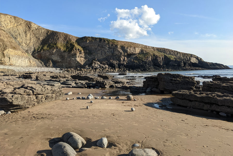
Collecting beach pebbles: fun hobby but is it legal?
14/07/2026
The UK coastline will be inundated with keen holidaymakers this summer, many of whom will take a memento of their trip home in the shape of a pebble or two — but is it legal?


Building Europe’s geological future
20/07/2026
BGS scientists are contributing to a continent-wide initiative that is strengthening collaboration across borders to tackle shared subsurface challenges and unlock new opportunities.
Explore more news
Browse all news and events by category
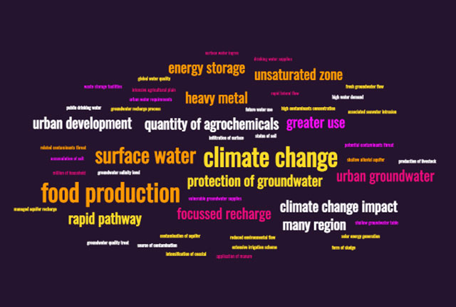
The question of quality: how data science is tackling threats to our groundwater
14/10/2022
An improved understanding of groundwater quality threats could help better manage groundwater resources and mitigate threats to global water supplies.
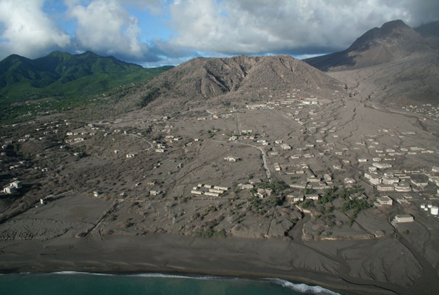
Disaster risk reduction through geoscience
13/10/2022
Exploring hazard research at BGS helps us to understand hazard risks and reduce vulnerability to disasters across the globe.
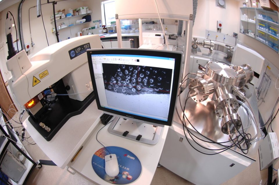
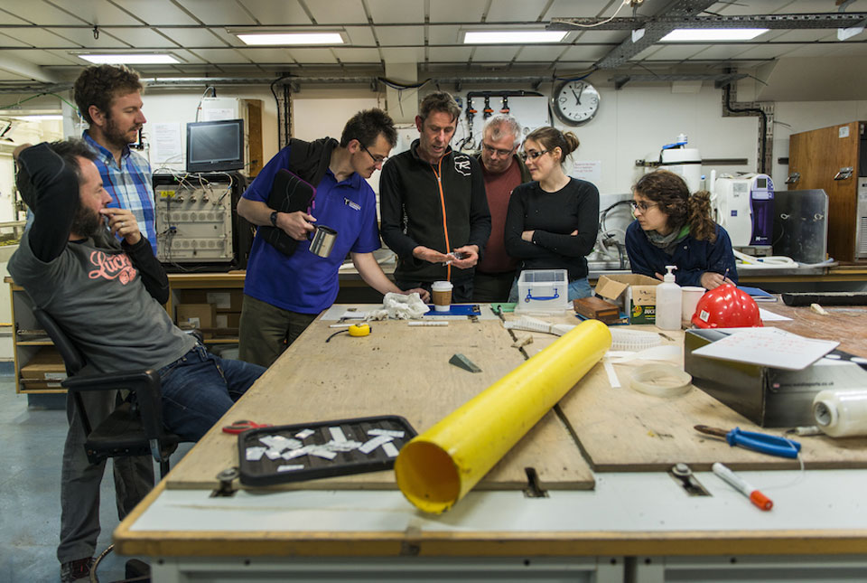
My role as a stable isotope research assistant
11/10/2022
Dr Harvey Pickard gives us an insight into his new role analysing stable isotopes and getting to grips with some of the laboratory equipment at BGS.

New geological map of offshore Anglesey released
10/10/2022
BGS has released a new fine-scale digital map featuring the seabed geology of offshore Anglesey (Ynys Môn).
New seabed maps offer a window into the distant past
10/10/2022
BGS has begun publishing a new series of high-resolution offshore geological maps showing the distribution of bedrock and sediments that make up the seabed around our coasts.
Project findings provide essential insight into the last British–Irish ice sheet
29/09/2022
Understanding more about the north-west European continental shelf and improving forecasting for the Antarctic and Greenland ice sheets.
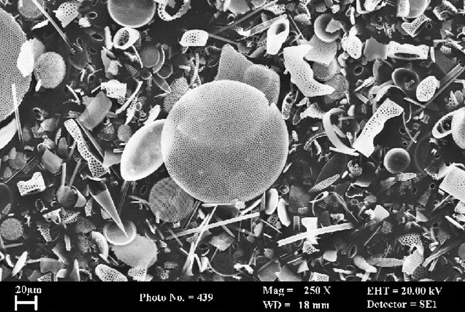
BGS receives funding for new system to analyse oxygen isotopes
26/09/2022
A major upgrade of BGS's research equipment following investment from NERC will help scientists understand historic changes in climate.