

Latest
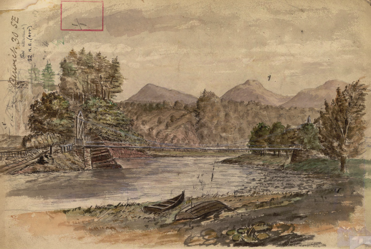
Historic watercolour unearthed on back of Dryburgh geological field map
05/10/2026
A 150-year-old painting of Dryburgh Suspension Bridge and the River Tweed offers an insight into the Scottish Borders landmark shortly after it was built in the 1870s.
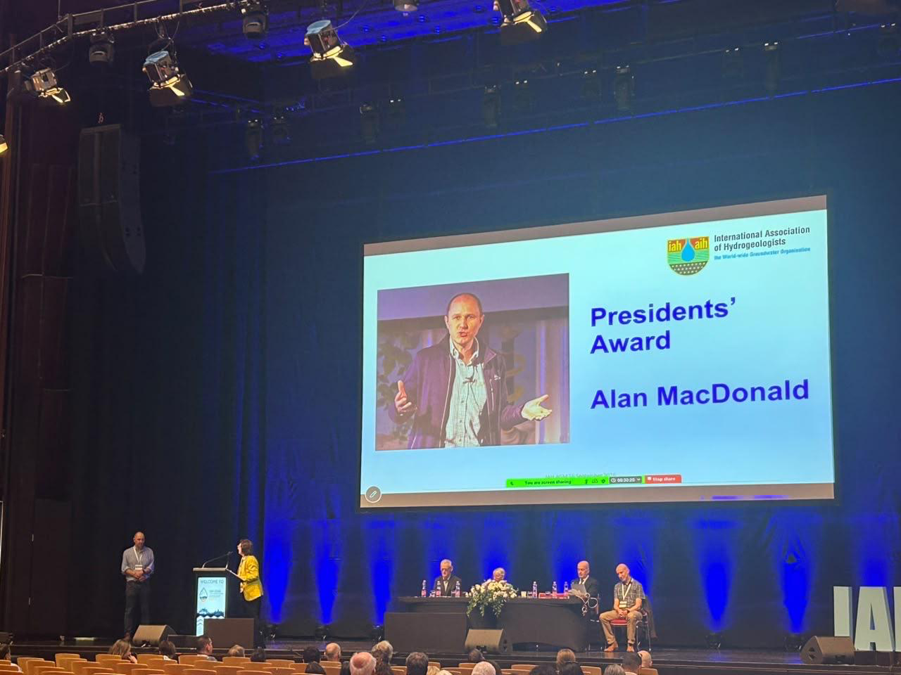
Professor Alan MacDonald presented with Presidents’ Award at 2026 World Groundwater Congress
21/09/2026
The BGS Head of Groundwater has been recognised with this prestigious award by the International Association of Hydrogeologists for his extensive contributions to groundwater science.
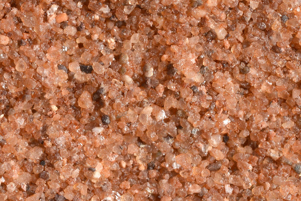

Measuring the environmental impacts of carbon fibre: life cycle assessment
01/09/2026
Undergraduate student Phoebe Brown visited BGS to understand the life cycle of carbon fibre, from primary production to recycling.
Explore more news
Browse all news and events by category
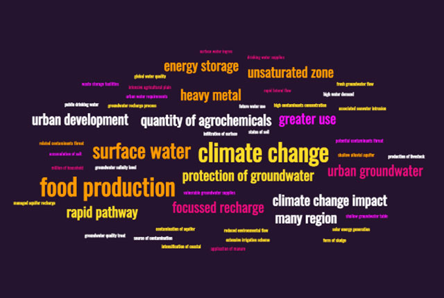
The question of quality: how data science is tackling threats to our groundwater
14/10/2022
An improved understanding of groundwater quality threats could help better manage groundwater resources and mitigate threats to global water supplies.
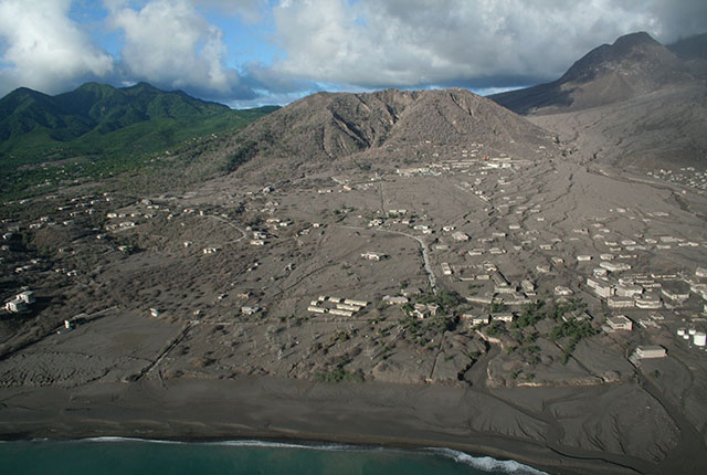
Disaster risk reduction through geoscience
13/10/2022
Exploring hazard research at BGS helps us to understand hazard risks and reduce vulnerability to disasters across the globe.
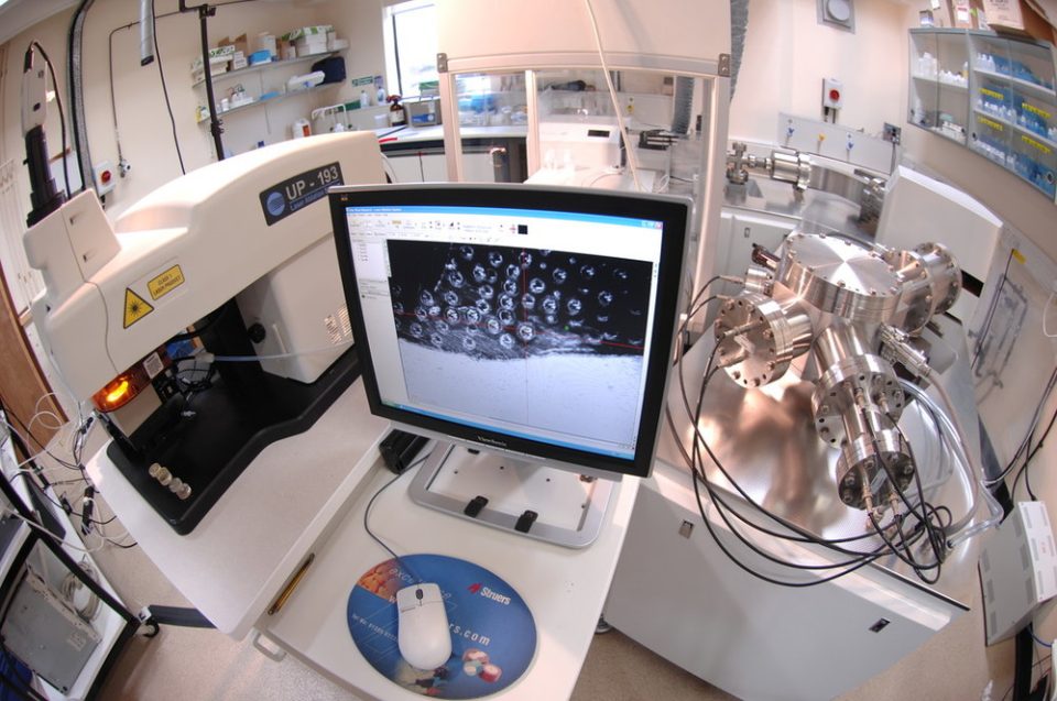
My role as a stable isotope research assistant
11/10/2022
Dr Harvey Pickard gives us an insight into his new role analysing stable isotopes and getting to grips with some of the laboratory equipment at BGS.
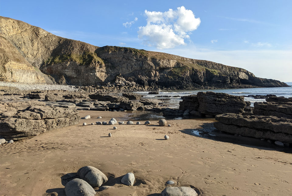
New seabed maps offer a window into the distant past
10/10/2022
BGS has begun publishing a new series of high-resolution offshore geological maps showing the distribution of bedrock and sediments that make up the seabed around our coasts.

New geological map of offshore Anglesey released
10/10/2022
BGS has released a new fine-scale digital map featuring the seabed geology of offshore Anglesey (Ynys Môn).
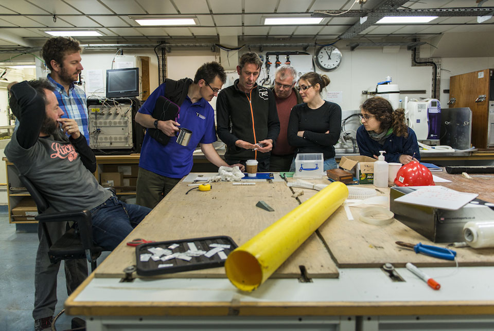
Project findings provide essential insight into the last British–Irish ice sheet
29/09/2022
Understanding more about the north-west European continental shelf and improving forecasting for the Antarctic and Greenland ice sheets.
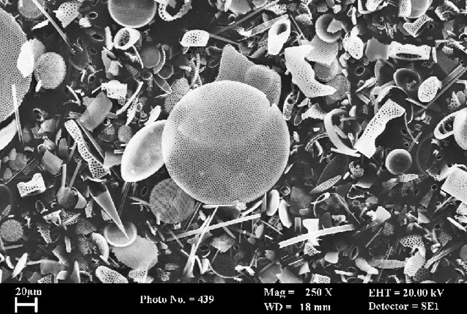
BGS receives funding for new system to analyse oxygen isotopes
26/09/2022
A major upgrade of BGS's research equipment following investment from NERC will help scientists understand historic changes in climate.