BGS supports development of a local land-use framework for Devon
The framework will help to identify data improvements to support more joined-up decision making about land use in Devon.
10/11/2022 By BGS Press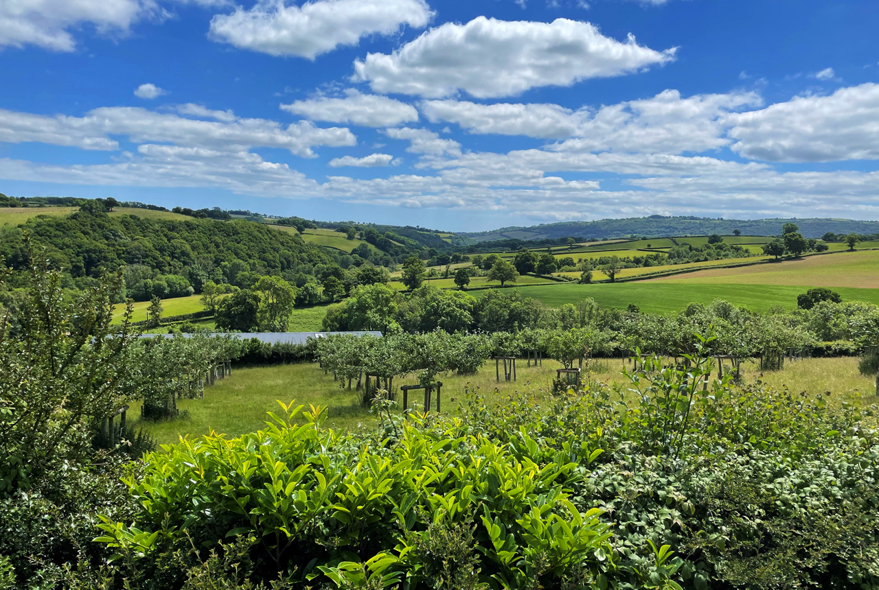

BGS is working with the Food, Farming and Countryside Commission as part of the Geospatial Commission’s National Land Data Programme pilot in Devon, to support the design and development of a local land-use framework.
The National Land Data Programme will explore the UK’s key land-use challenges, such as energy, housing and decarbonisation, and how spatial data and modelling can support better decisions about land use change.
The Geospatial Commission is convening regional pilots, including in Devon, national round tables and expert workshops to bring together stakeholders across local and national government, academia and industry. Land faces increasing demands from a wide range of economic and environmental objectives, including housing, transport, energy, food production, flood protection, water security and decarbonisation. The scale of land-use change required to meet these demands is significant.
The Food, Farming and Countryside Commission (FFCC), supported by the National Land Data Programme, is running two pilot projects to test a broad, inclusive and evidence-led land-use framework and see how this approach can be integrated into land-use decision making longer term.
BGS is supporting the FFCC in Devon with the design and prototyping of a decision support tool, using spatial modelling to help articulate the impacts of different land-use change scenarios amongst local stakeholders.
Devon has a diverse landscape of national parks, coast, farming and rural communities. These areas face competing land-use pressures and are subject to complex land-use governance arrangements. Having access to quality data and evidence will support a more joined-up approach to decision making for land use.

Creating a shared digital evidence base, underpinned by accessible data, is a key part of optimising trade-offs when deciding where land use should change.
Dr Darren Beriro, BGS Geoscientist.
It is hoped that, by improving how spatial data can be made accessible and visualised, local decision makers in Devon can more confidently appraise their land use choices.
Find out more information about the National Land Data Programme.