IODP³-NSF Expedition 501: successful offshore operations launches onshore phase
Scientists have managed to take water and sediment samples from beneath the ocean on the New England Shelf for the first time, with the intention of understanding this offshore aquifer system.
06/08/2025 By BGS Press

Seventy-four days offshore, 718 cores and 871.83 m of total core from three locations: this is the successful outcome after the end of offshore operations of IODP³-NSF Expedition 501: New England Shelf hydrogeology. The goal of the expedition was to take samples not only of sediment cores, but also of the water stored in both sandy aquifers and clayey aquitards beneath the ocean floor. Their existence has been known for decades but they remained virtually unexplored — until now.
The expedition is a joint collaboration between the International Ocean Drilling Programme (IODP³) and the US National Science Foundation (NSF), with the expedition being managed and technically supported by the team at BGS.

We set out with lofty goals of understanding the origin and age of this offshore freshened groundwater system through sampling of sediment and water in a difficult drilling environment consisting of sand and mud. With great teamwork between the science team, the technical staff and the drilling crew, we managed to get great samples, including via multiple groundwater pumping tests.
Those tests were a critical to the expedition and a first for scientific ocean drilling. And we did it! Now we have the samples for the science team to really dive into the data and understand the system, which will be helpful for understanding other offshore freshened groundwater systems around the world.
Prof Brandon Dugan, expedition co-chief scientist.
The pump tests were challenging and required us to adapt our processes to get the best possible samples of the groundwater. In the end we pumped nearly 50 000 litres of water from nine distinct places, in terms of location and depth below the sea floor.
This is a huge success story for something so novel. For me in particular, as a geochemist and not a hydrogeologist, I am so appreciative to everyone that leant their expertise. The team of hydrogeologists from the British Geological Survey especially was outstanding.
Rebecca Robinson, expedition co-chief scientist.
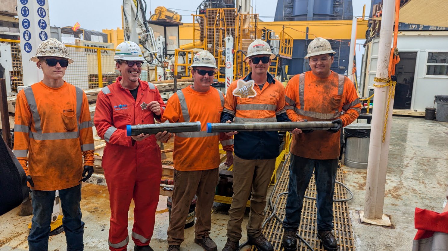
The final core from the final hole! From left: The Boart Longyear team Chris Redding, co-chief scientist Brandon Dugan, Chandler Maine, Nick Boehne and Lalo Aguilar. © Everest@ECORD_IODP3_NSF.
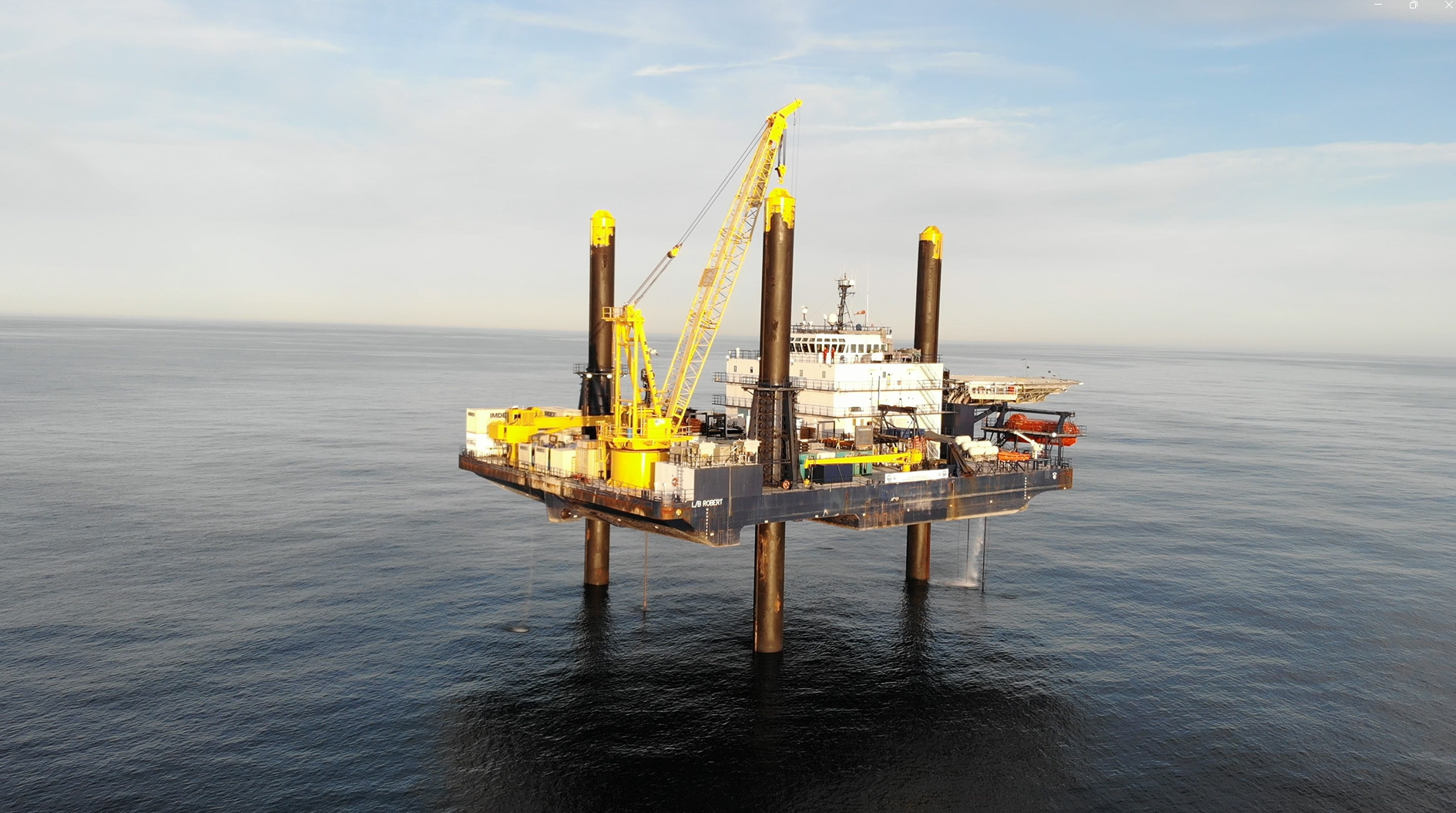
The Liftboat Robert. © Everest@ECORD_IODP3_NSF.
During the expedition, the science team rotated on and off the Liftboat Robert, transported by helicopter or supply vessel. The entire science team will meet for the onshore operations at the Bremen Core Repository, at the Center for Marine Environmental Sciences at the University of Bremen (MARUM), in January and February 2026 to split, sample and analyse the sediment cores and water collected. The cores will be archived and made accessible for further scientific research for the scientific community after a one-year moratorium period. All the expedition data will eventually be open access in the IODP³ MSP data portal in PANGAEA and resulting outcomes will be published.
I’m absolutely delighted for our BGS colleagues and the whole expedition team, who have delivered this outstanding and unique project for IODP3. The sediment cores, water samples and logging data they helped collect will now be analysed by the international science team to better understand the New England continental shelf and its freshened groundwater system, and I expect some groundbreaking results will emerge in the months and years ahead.
David McInroy, BGS project lead.
International approach
BGS scientists are part of a science team with over 40 members from 13 nations (Australia, China, France, Germany, India, Italy, Japan, the Netherlands, Portugal, Sweden, Switzerland, the UK and the USA) that takes part in the expedition. The expedition itself consists of two phases: offshore and onshore operations. Offshore operations took place between May and early August 2025.
The expedition is conducted by the European Consortium for Ocean Research Drilling (ECORD) as part of the International Ocean Drilling Programme (IODP³), funded by IODP³ and the US National Science Foundation (NSF).
More information
Relative topics
Related news

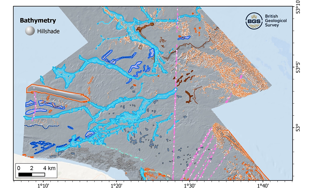
Updated geological assessment of the Southern North Sea set to underpin future offshore infrastructure development
25/03/2026
The first regional assessment for 30 years will support offshore marine and subsurface planning for the UK’s low-carbon energy infrastructure, including the 2030 target of 45 to 50 GW generated through offshore wind.

Extensive freshened water confirmed beneath the ocean floor off the coast of New England for the first time
09/02/2026
BGS is part of the international team that has discovered the first detailed evidence of long-suspected, hidden, freshwater aquifers.

Quaternary UK offshore data digitised for the first time
21/01/2026
The offshore wind industry will be boosted by the digitisation of a dataset showing the Quaternary geology at the seabed and the UK’s shallow subsurface.

How the geology on our doorstep can help inform offshore infrastructure design
19/11/2025
BGS is part of a new collaboration using onshore field work to contextualise offshore data and update baseline geological models which can inform the sustainable use of marine resources.

Extended seabed geology map of the Bristol Channel published
07/10/2025
BGS has released significantly extended high-resolution maps that will support offshore green-energy initiatives in the area.

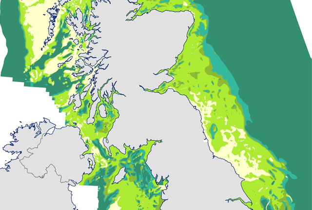
New seabed sediment maps reveal what lies beneath the waves
03/09/2025
Marine ecosystem science and offshore infrastructure will be boosted by a new dataset showing sediment composition across the UK continental shelf.
IODP³-NSF Expedition 501: successful offshore operations launches onshore phase
06/08/2025
Scientists have managed to take water and sediment samples from beneath the ocean on the New England Shelf for the first time, with the intention of understanding this offshore aquifer system.
BGS scientists join international expedition off the coast of New England
20/05/2025
Latest IODP research project investigates freshened water under the ocean floor.
New seabed geology maps to enable long term conservation around Ascension Island
01/04/2025
BGS deliver the first marine geology and habitat maps for one of the world’s largest marine protected areas.
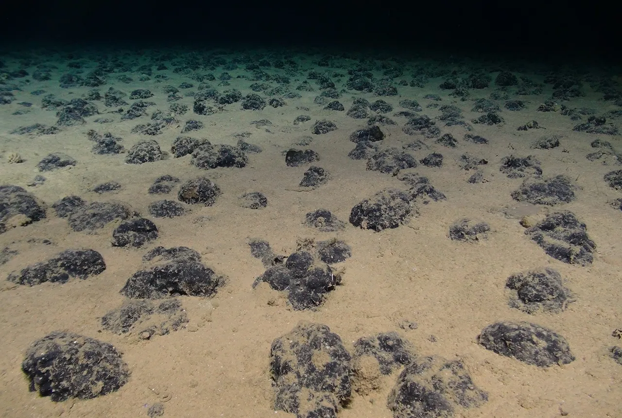
New study reveals long-term effects of deep-sea mining and first signs of biological recovery
27/03/2025
BGS geologists were involved in new study revealing the long-term effects of seabed mining tracks, 44 years after deep-sea trials in the Pacific Ocean.
Seabed geology data: results from stakeholder consultation
31/01/2025
BGS collected valuable stakeholder feedback as part of a new Crown Estate-led initiative to improve understanding of national-scale seabed geology requirements.
New research reveals the secrets of the seabed off the East Anglian coast
11/07/2024
New geological map will help in the hunt for new renewable energy opportunities whilst protecting delicate marine ecosystems.