

BGS-led paper scoops prestigious award
New research providing earlier warnings of landslides has been awarded the British Geotechnical Association medal.
16/09/2025 By BGS Press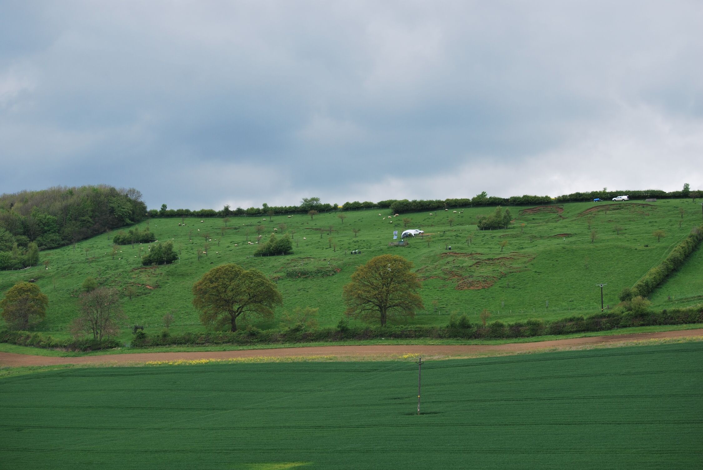

Landslides are an ongoing global threat that can lead to significant loss of life and damage to infrastructure. The paper, ‘High-resolution geophysical monitoring of moisture accumulation preceding slope movement – a path to improved early warning’, describes a new geophysical method that enables a way of observing the subsurface to look for signs of underlying slope failure. Signs include moisture, suction and shear strength, which, when monitored, can provide earlier warning of hazard. The paper, led by BGS Honorary Research Associate (HRA) Arnaud Watlet with 16 co-authors — 10 of which are from BGS — has been awarded the 2024 British Geotechnical Association (BGA) medal for ‘meritorious contributions to geotechnical science or practice’.
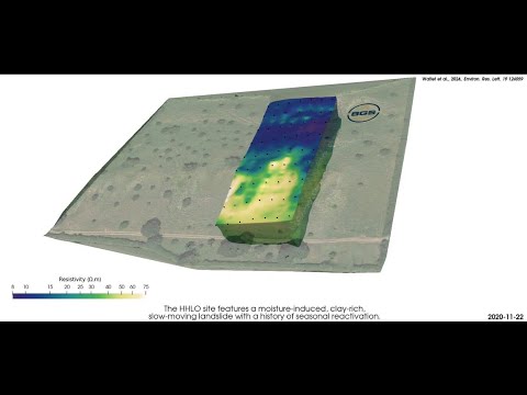

An example of electrical resistivity tomography (ERT) data collected from the Hollin Hill Landslide Observatory, which generates 4D resistivity models, providing insights into subsurface structures. BGS © UKRI.
The research was undertaken at BGS’s Hollin Hill Landslide Observatory in Yorkshire. The slope at Hollin Hill features slow-moving, clay-rich land, common to much lowland landslide activity across the world. Change was monitored at the observatory over a two-year period, focusing on the wettest parts of each season. Researchers used electrical resistivity tomography and low-frequency distributed acoustic sensing to investigate the integrity of unstable slopes at various scales. Combining resistivity and fibre optics to observe changes in ground composition allowed for better monitoring and evaluation of natural and engineered slopes.

Landslides triggered by rainfall can significantly affect communities and infrastructure. Predicting exactly where and when they’ll occur is challenging, as local factors like geology, slope orientation and ground moisture all play a role. Most landslide early warning systems mainly track slope movement or rainfall intensity but, by monitoring ground moisture, we can extend the warning period at particularly vulnerable locations.
Arnaud Watlet, BGS HRA and lead author of the paper.
We are delighted to receive the BGA award, which recognises the incredible work and strong dedication of our team to landslide prevention.
Jim Whitely, BGS HRA and co-author of the paper.
Relative topics
Related news
Mining hazard (not including coal)
The mining hazard dataset provides essential information for planners and developers building in areas of former shallow underground mine workings.
Updated national 3D model will determine the depth to the solid bedrock beneath our feet
13/07/2026
The BGS Superficial Deposit Thickness Model now includes an elevation model of geological rockhead for the first time, providing important data for civil engineers, geoscientists and environmental scientists.

New geological mapping underway to help manage flooding along the River Tweed
08/07/2026
Scientists are surveying the Tweed catchment for the first time in over 100 years to enhance understanding of localised groundwater and improve flood forecasting.

From archive to discovery: historical mineral reports support gold exploration in Scotland
25/06/2026
Digitised geological records show potential to unlock untapped mineral resources in Ardlochan, Argyllshire.
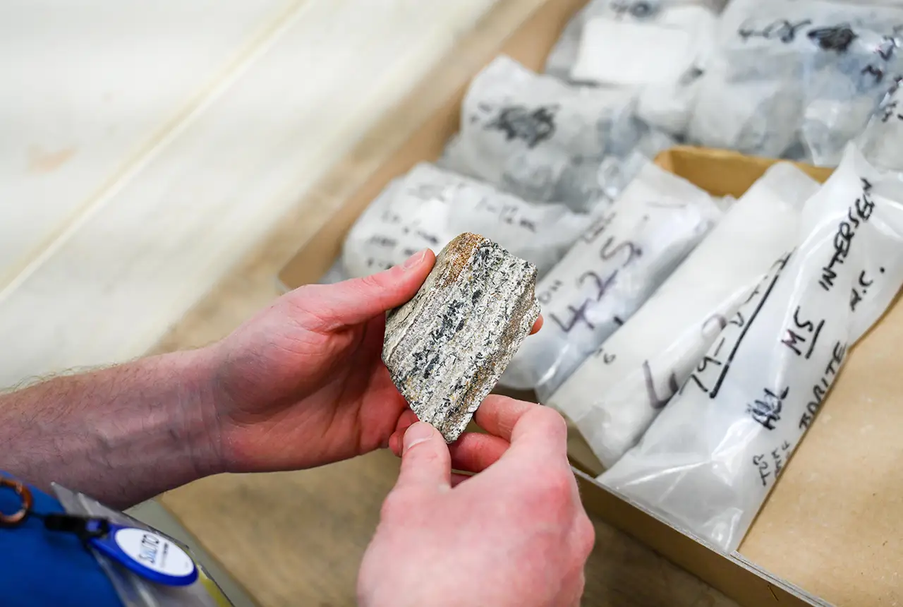
Newly released core could hold clues on potential mineral prospectivity in Perthshire
05/06/2026
A comprehensive collection of geological samples from the vicinity of a former mine in Scotland is now available to scientists for further research.
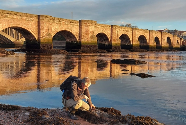
New geological maps of Berwick-upon-Tweed to help future-proof natural water supply
20/05/2026
Scientists have mapped the geology under the town to better understand the groundwater system to inform decisions around abstraction.

BGS contributes to UN sand and sustainability report
19/05/2026
The new report highlights the impact of poor governance and unsustainable sand mining practices, calling on policymakers to take action.
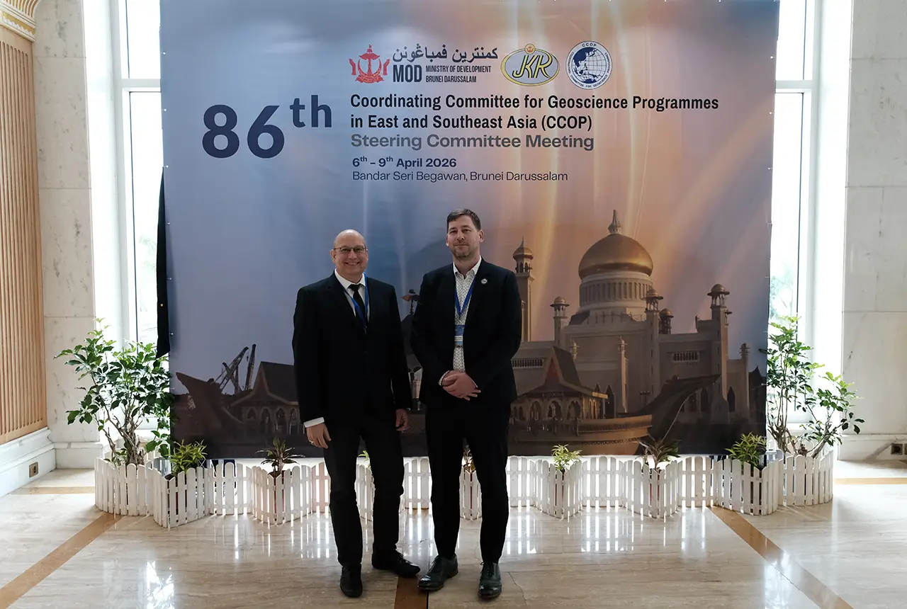
BGS engineering geologist elected to CCOP
29/04/2026
Marcus Dobbs has been elected as vice-chair of the advisory group for the Coordinating Committee for Geoscience Programmes in East and Southeast Asia.
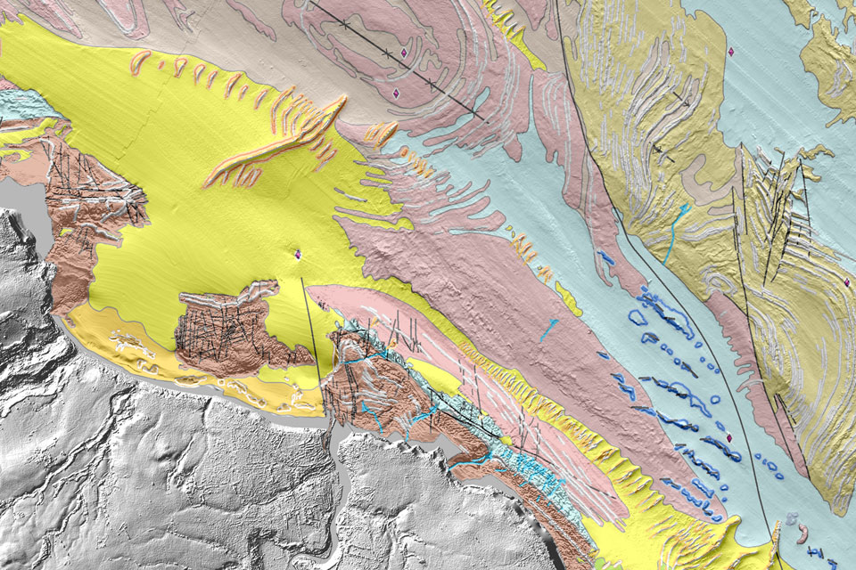
Updated geological assessment of the Southern North Sea set to underpin future offshore infrastructure development
25/03/2026
The first regional assessment for 30 years will support offshore marine and subsurface planning for the UK’s low-carbon energy infrastructure, including the 2030 target of 45 to 50 GW generated through offshore wind.
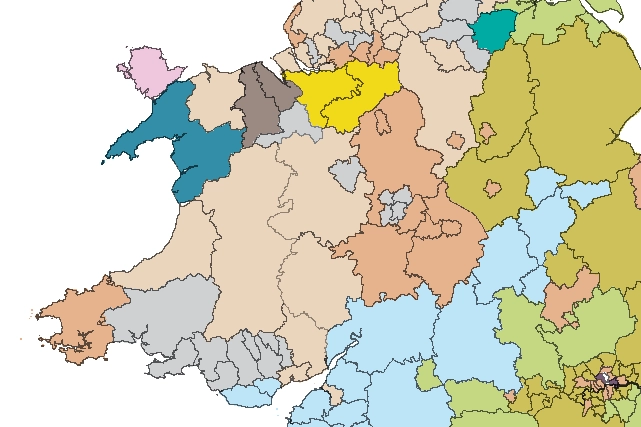
Map of BGS BritPits showing the distribution of worked mineral commodities across the country
18/02/2026
BGS’s data scientists have generated a summary map of the most commonly extracted mineral commodities by local authority area, demonstrating the diverse nature of British mineral resources.
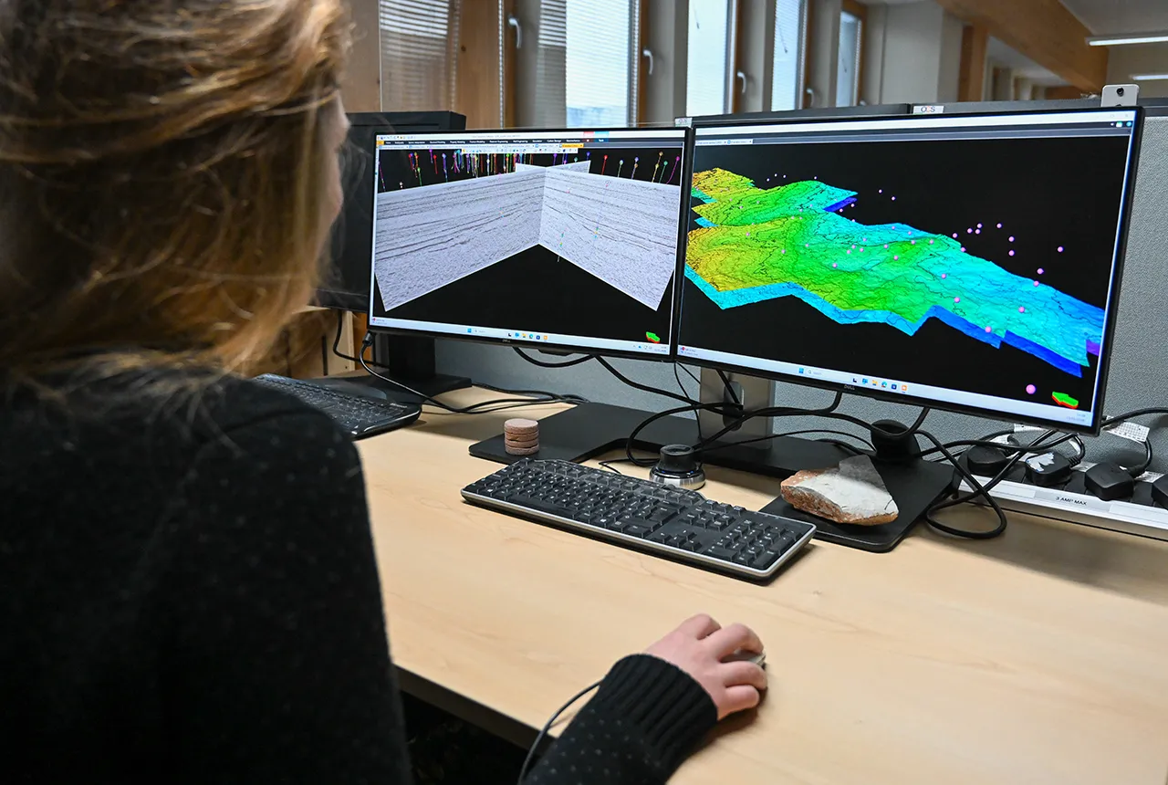
Can sandstones under the North Sea unlock the UK’s carbon storage potential?
02/02/2026
For the UK to reach its ambitious target of storing 170 million tonnes of carbon dioxide per year by 2050, it will need to look beyond the current well-studied geographical areas.
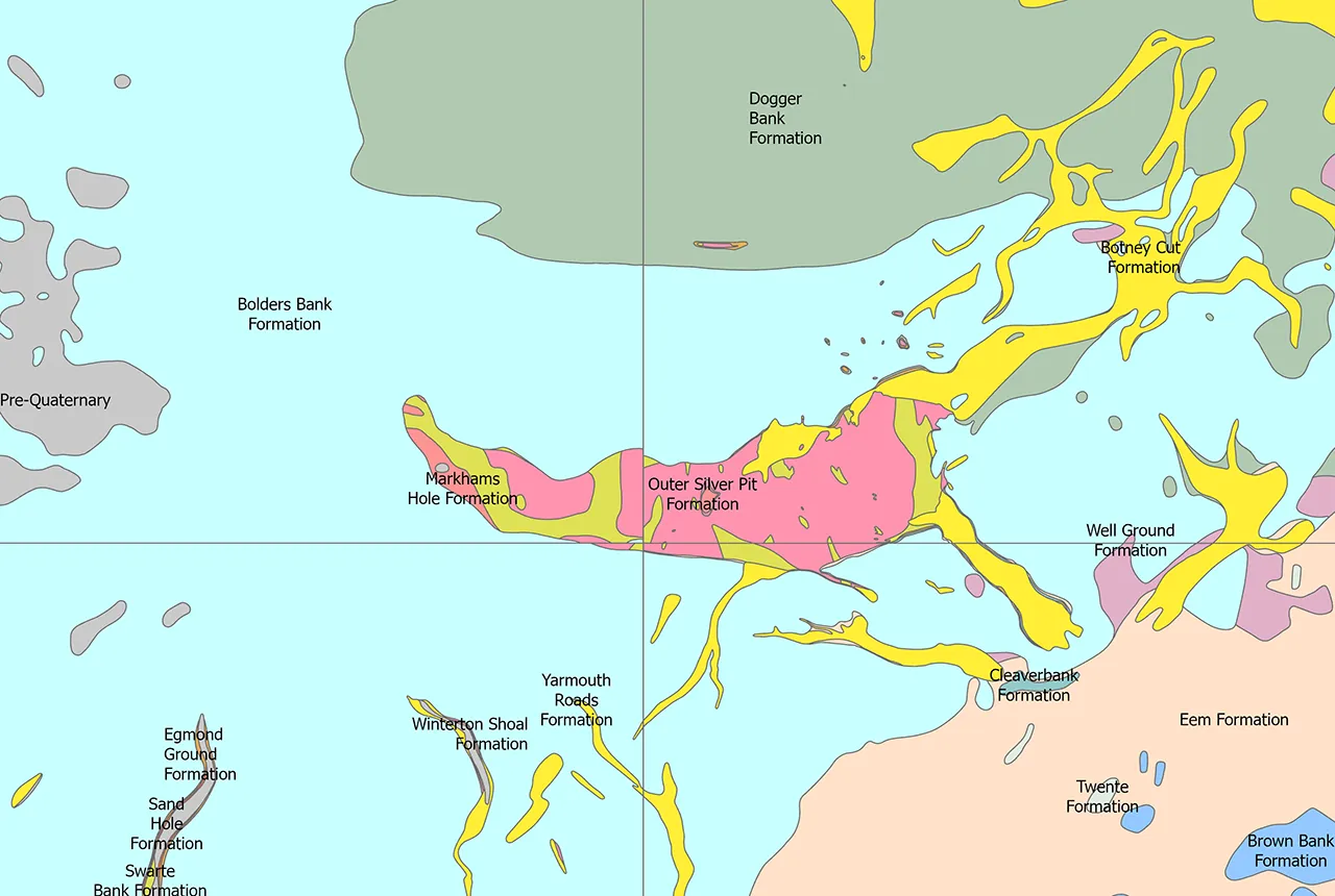
Quaternary UK offshore data digitised for the first time
21/01/2026
The offshore wind industry will be boosted by the digitisation of a dataset showing the Quaternary geology at the seabed and the UK’s shallow subsurface.