New 3D model to help mitigate groundwater flooding
BGS has released a 3D geological model of Gateshead to enhance understanding of groundwater and improve the response to flooding.
08/12/2025 By BGS Press

Groundwater flooding is the emergence of groundwater at the surface, which can occur in a variety of geological settings, including areas with historical mining. In England and Wales, it’s estimated that groundwater flooding accounts for an estimated £530 million in damages per year.
Project Groundwater Northumbria aims to increase awareness and understanding of groundwater flooding and help prepare for and mitigate flood events through innovative approaches and technologies. The project, in which BGS is a partner, is led by Gateshead Council and is part of the Environment Agency’s Flood and Coastal Resilience Innovation Programme.
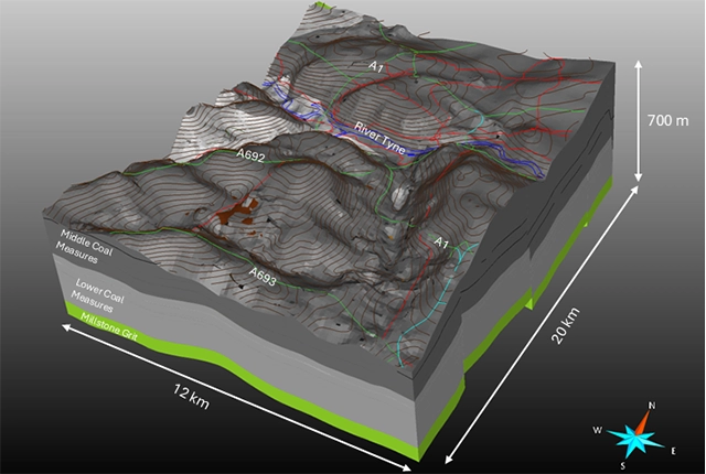
Following a major groundwater flood event in Gateshead in 2016, along with several smaller incidents, BGS has constructed a subsurface map and produced a free, 3D geological model of the bedrock in Gateshead. These help better understand the sequences and geometries of the shallower soil layers (superficial deposits) at tens of metres of depth, alongside structures and boundaries in the bedrock to several hundred metres of depth.
The north-east of England was a major centre for coal mining. In areas with historical mining activities like Gateshead, the effect of mine workings on groundwater movement can be significant. The map and model will give a better understanding of how the natural subsurface conditions, combined with the legacy of human activity in the subsurface such as abandoned coal mines, affects the direction of groundwater flow.
The insight provided from the anticipated groundwater flow paths will help identify where groundwater flooding is likely to occur. This will allow Gateshead Council (and other organisations, such as the Environment Agency and Northumbrian Water) to better deploy resources more effectively and monitor the speed and spread of flooding in real time, to help manage and alleviate groundwater flooding in the area.

The 3D geological model of Gateshead, released as part of Project Groundwater Northumbria, will help us to understand the impact of groundwater movement in this area and improve Gateshead Council’s response to future floods.
The model is an innovative step forward in how we capture data. Traditional geological maps don’t allow to us to show the interaction of mine water and groundwater, but we can showcase them with this model. It has really helped us to improve our 3D understanding of coal fields and how water flows through them. In turn, this is part of a wider programme of 3D urban geology across the country.
Project Groundwater Northumbria showcases how multiple organisations can work together on one project with the same aim and highlights the geological and technologies advances that can be achieved.
Ricky Terrington, BGS 3D Geospatial Lead and project leader.
BGS is a partner organisation of Project Groundwater Northumbria, alongside the Mining Remediation Authority, Environment Agency, JBA Consulting, ARUP, Flamingo Heights, T&T and Northumbrian Water. BGS © UKRI.
The 3D geology model for Gateshead can now be accessed for free on BGS’s Onshore GeoIndex viewer.
The reports produced as part of this project are available to read:
- Superficial hydrogeological domains for the Gateshead area — Project Groundwater Northumbria
- Bedrock sandstone channel subsurface mapping for the Gateshead area — Project Groundwater Northumbria
- 3D geological model report of the bedrock geology underlying the Gateshead area — Project Groundwater Northumbria
- Project Groundwater Northumbria (FCRIP) — phase 1 geological cross-sections
Relative topics
Related news
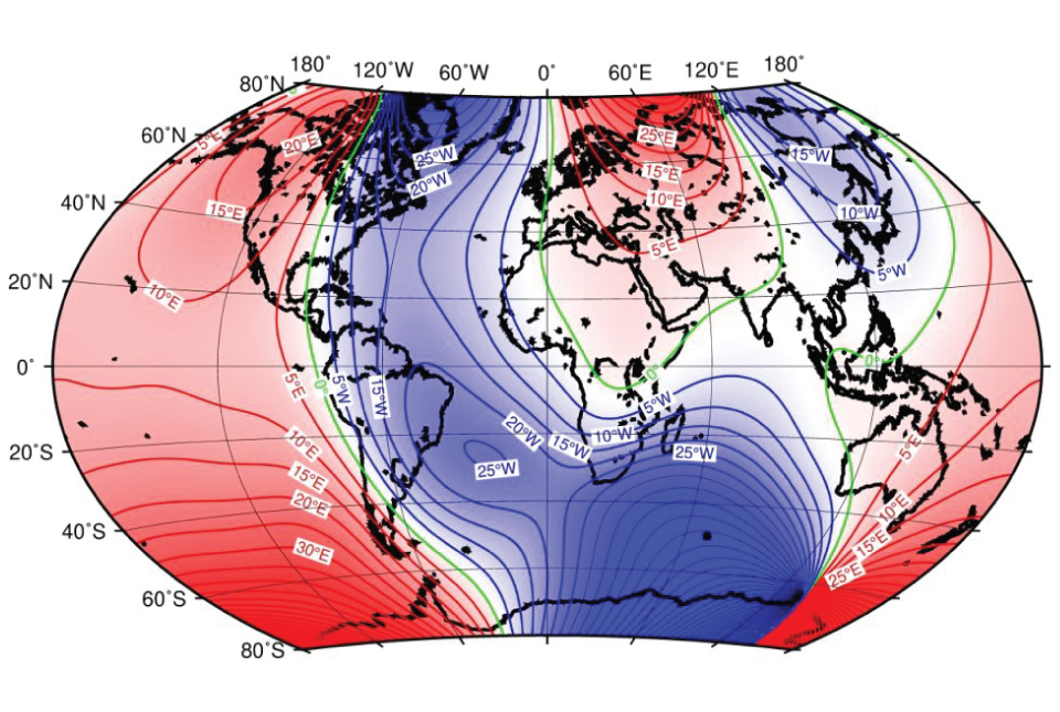
‘Three norths’ set to leave England and not return for hundreds of years
12/12/2025
The historic alignment of true, magnetic, and grid north is set to leave England, three years after they combined in the country for the first time since records began.
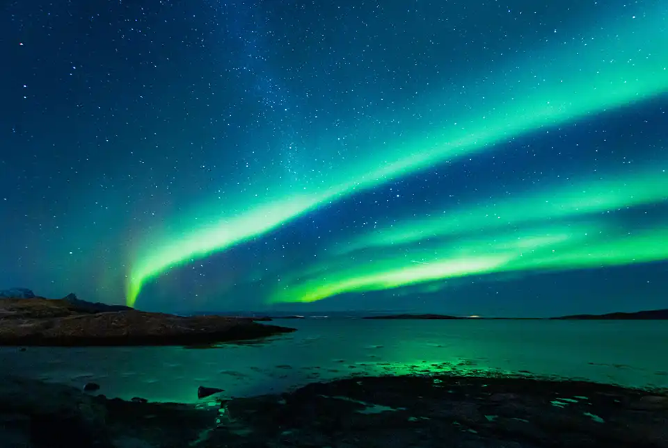
UK braced for what could be the largest solar storm in over two decades
12/11/2025
Intense geomagnetic activity could disrupt technology such as communication systems, global positioning systems and satellite orbits.

Fieldwork on Volcán de Fuego
13/10/2025
Understanding how one of the world’s most active volcanoes builds up material, and how they collapse to feed hot flows
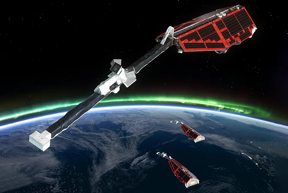
UK scientists in awe-rora as national coverage of magnetic field complete for the first time
23/09/2025
New sensors being installed across the UK are helping us understand the effects that extreme magnetic storms have on technology and national infrastructure.
New global space weather hazard index launched
17/01/2025
The new index provides a near-real time, global picture of geomagnetic variations helping to highlight the effects of space weather.
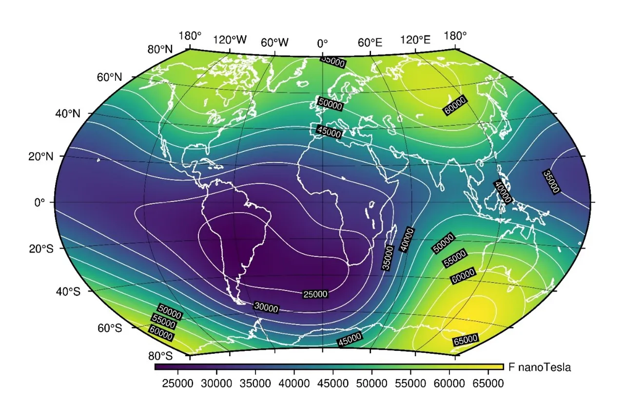
Update to essential scientific reference maps reveals new movement of the Earth’s magnetic field
01/01/2025
The international science community has released an update to the International Geomagnetic Reference Field, a model created for the public good and used by scientists around the world.
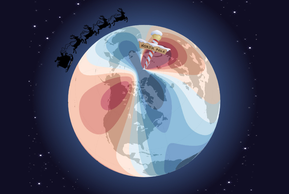
Airlines, shipping companies and sleigh drivers rush to update crucial navigation systems ahead of Christmas rush
17/12/2024
Release of major upgrade to a new model tracking magnetic north prompts global reset of satellite tracking systems across trade and passenger transport routes.
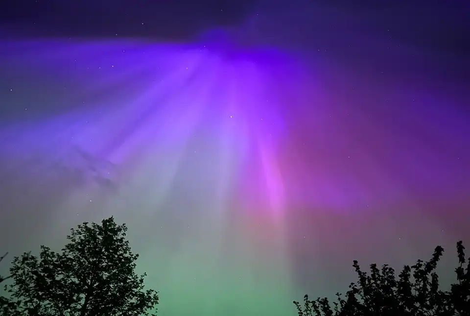
A-roaring display
16/05/2024
The dazzling and colourful aurora borealis, or northern lights, observed by many across the UK last weekend was one of the most extreme and long-lasting geomagnetic storms recorded in the last 155 years.
BGS leads update to maps of the Earth’s magnetic field
04/04/2024
The International Geomagnetic Reference Field, used for navigation on mobile phones and in space, is updated every five years.
Will 2024 be the Year of the Aurora?
23/02/2024
The Sun’s approximate eleven-year activity cycle is predicted to peak this year, prompting BGS scientists to anticipate that 2024 will be the ‘Year of the Aurora’.
From the Earth’s core to outer space: understanding the magnetic field
Event on 26/03/2024
A special webinar focusing on our our geomagnetism research, including how we measure the magnetic field, everyday applications and mitigating the threats of space weather.
Observing magnetic fields: 100 years of data
02/08/2022
Marking the centenary of the Lerwick Geophysical Observatory.